
Villages · South East England
West Firle
In or near Tarring Neville.
West Firle — a village in england south east.

Derek Voller — CC BY-SA 2.0 via Wikimedia Commons licence

Plan your visit
- Typical visit
- 1 h–2 h
- Nearest railway station
- Glynde · 2.0 km
About
A British village — settlements of this size traditionally cluster a green, parish church, pub and post office around historic land routes.
Photo gallery
Place summary
West Firle is a village located in South-East England. It is characterised by its rural setting and traditional architecture, typical of the region. The village offers a glimpse into the local heritage and community life, surrounded by picturesque landscapes. Visitors can expect a tranquil atmosphere, reflective of the English countryside.
AI-generated from the structured facts on this page (operator, designation, listing, era). Not a substitute for visiting.
- Coordinates
- 50.8447, 0.0872
- County
- East Sussex
- District
- Lewes
- Parish
- Firle
- Postcode
- BN8 6LP
- Parliamentary constituency
- Lewes
- Nearest railway station
- Glynde — 2 km
Sources
- manual: geonames-2634416 (CC BY 4.0)
Other places nearby

Firle War Memorial
Memorials & monuments · 0.1 km

Firle Place
Museums · 0.3 km

Firle Tower
Follies · 1.0 km
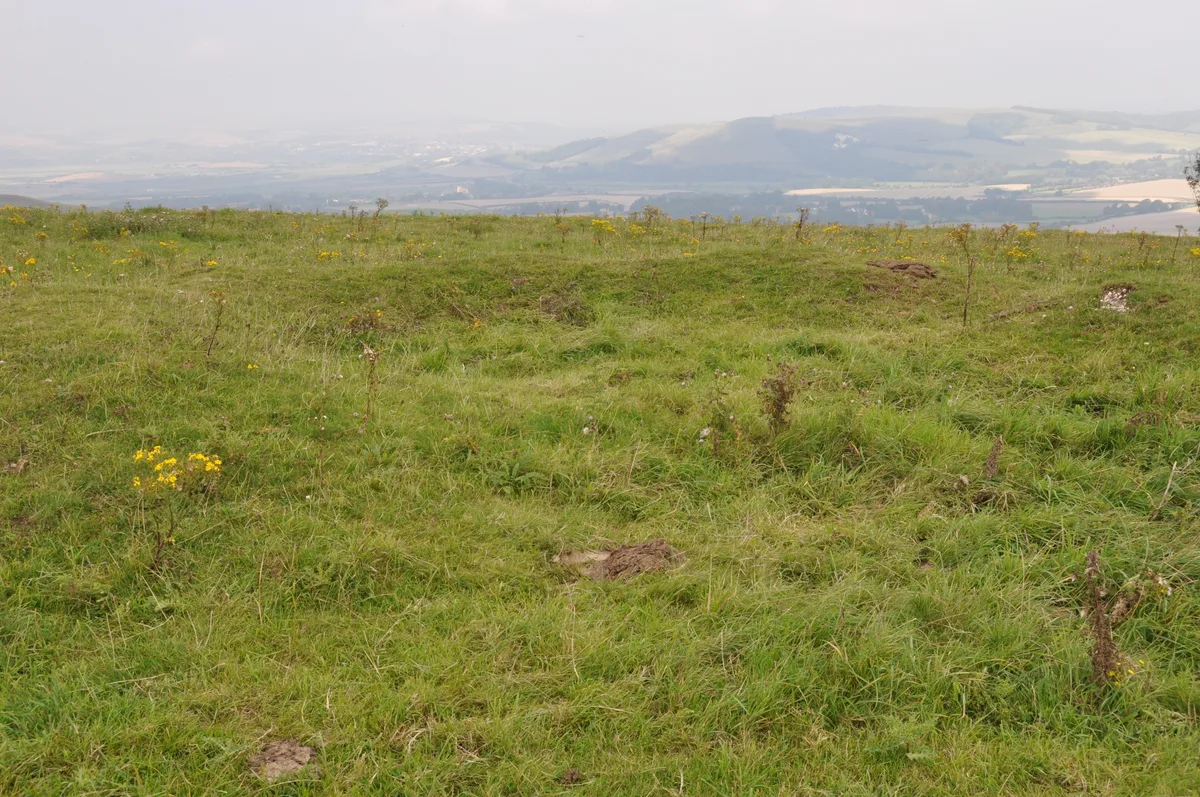
A saucer barrow, a bowl barrow and a pair of hlaews 350m north west of Overhill Lodge
Archaeological sites · 1.1 km
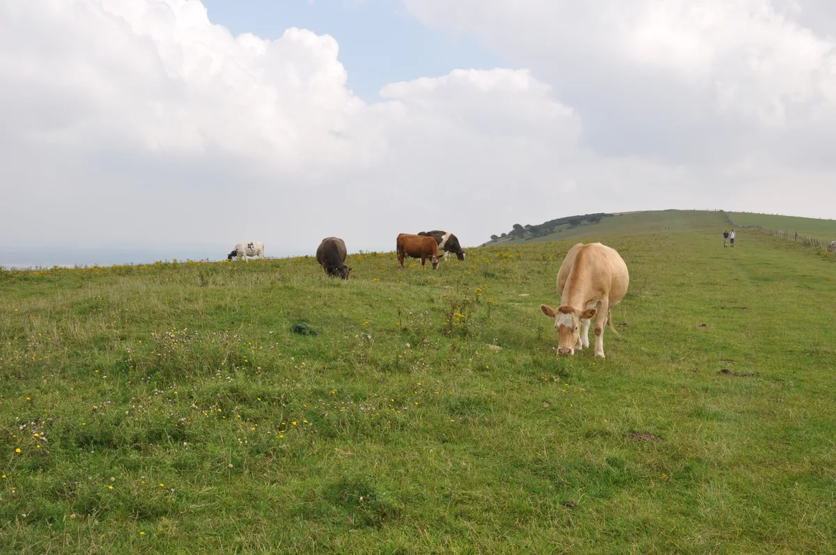
Three hlaews 400m north east of Overhill Lodge
Archaeological sites · 1.2 km

Males Burgh
Archaeological sites · 1.5 km

Beddingham Hill
Mountains & hills · 1.7 km

Middle Farm
Farms (open to visitors) · 1.9 km
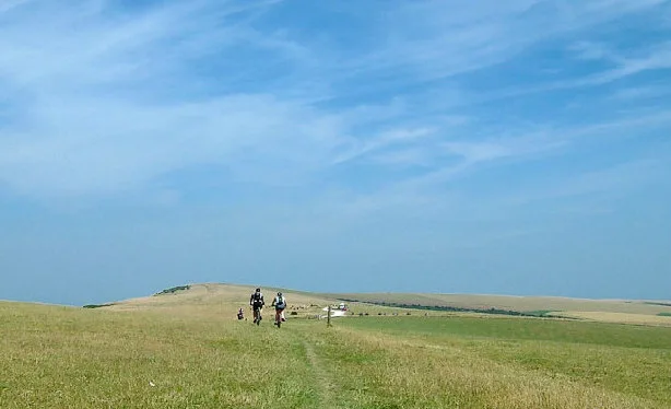
Firle Beacon
Mountains & hills · 1.9 km

Lord's Burghs
Archaeological sites · 2.0 km

Charleston Farmhouse
Museums · 2.0 km

Charleston House
Museums · 2.0 km
Nearby
📷 5Memorials & monuments · South East England
Firle War Memorial
Firle War Memorial — a memorial in england-south-east, United Kingdom.
📷 5Museums · South East England
Firle Place
Firle Place is a manor house in Firle, East Sussex, United Kingdom. The Gage family have owned the land at Firle since acquiring it from the Levett family in the 15th century. The manor house was firs
📷 5📷 5Archaeological sites · South East England
A saucer barrow, a bowl barrow and a pair of hlaews 350m north west of Overhill Lodge
A saucer barrow, a bowl barrow and a pair of hlaews 350m north west of Overhill Lodge — archaeological site in Firle, Lewes, England, UK.
📷 5Archaeological sites · South East England
Three hlaews 400m north east of Overhill Lodge
Three hlaews 400m north east of Overhill Lodge — archaeological site in Firle, Lewes, England, UK.
📷 5Archaeological sites · South East England
Males Burgh
Males Burgh — a archaeological in england-south-east, United Kingdom.
Where to eat & stay near West Firle
Places to stay
 📷 5
📷 5Hostels · South East England
YHA South Downs
YHA South Downs — a hostel in england south east.
 📷 5
📷 5Campsites · South East England
YHA South Downs
YHA South Downs — a campsite in england south east.
 📷 5
📷 5Caravan parks · South East England
Three Ponds Holiday Park and Fishery
Three Ponds Holiday Park and Fishery — a caravan park in england south east.
 📷 5
📷 5B&Bs · South East England
Rodmell House
Rodmell House — a bed-and-breakfast in england south east.
 📷 5
📷 5Campsites · South East England
Alfriston Camping Park
Alfriston Camping Park — a campsite in england south east.
 📷 5
📷 5Caravan parks · South East England
Alfriston Camping Park
Alfriston Camping Park — a caravan park in england south east.
Places to eat & drink
 📷 5
📷 5Historic pubs · South East England
Rose Cottage Inn
Rose Cottage Inn in England South East, United Kingdom.
 📷 5
📷 5Historic pubs · South East England
Gardeners Arms
Gardeners Arms in England South East, United Kingdom.
_(June_2019)_(2).JPG?width=1200) 📷 5
📷 5Historic pubs · South East England
The Black Horse Inn
The Black Horse Inn — Historic pub — listed building or notable heritage status.
 📷 5
📷 5Historic pubs · South East England
The Plough And Harrow Inn
The Plough And Harrow Inn in England South East, United Kingdom.
 📷 7
📷 7Historic pubs · South East England
The Golden Cross Inn
The Golden Cross Inn in England South East, United Kingdom.
 📷 5
📷 5Historic pubs · South East England
The Halfway House Public House
The Halfway House Public House in England South East, United Kingdom.
More places in this region
 📷 5
📷 5 📷 5
📷 5 📷 5
📷 5 📷 5
📷 5Frequently asked questions
- Where is West Firle?
- West Firle is in East Sussex, South-East England, United Kingdom (postcode BN8 6LP), in the parish of Firle.
- What is West Firle?
- West Firle — a village in england south east.
- How do I get to West Firle?
- The nearest railway station is Glynde, about 2.0 km away. Drivers can use postcode BN8 6LP.
- How do I get to West Firle?
- The nearest railway station is Glynde, about 2.0 km away. Drivers can navigate to postcode BN8 6LP.