
Natural landmarks · East of England
Watts Naval School
In or near North Elmham.
Watts Naval School — a school heritage in england-east-midlands, United Kingdom.

Op Deo — CC BY-SA 2.0 via Wikimedia Commons licence

Plan your visit
- Typical visit
- 1 h–2 h
- Nearest railway station
- Dereham · 9.5 km
- Free entry
- Dog-friendly
About
Watts Naval School is a school heritage located in england-east-midlands, United Kingdom. Catalogued from Wikidata's UK heritage register; see the Wikipedia article for further historical and visitor details.
Photo gallery
Protected designations
- Site of Special Scientific Interest: River Wensum SSSI
- Area of Outstanding Natural Beauty: Norfolk Coast
Designations sourced from Natural England open data under OGL v3.
Place summary
Watts Naval School is located in the East Midlands. This institution is notable for its historical significance in maritime education, although specific details about its founding or architectural style are not provided.
AI-generated from the structured facts on this page (operator, designation, listing, era). Not a substitute for visiting.
Background
Visiting
The main school building was demolished and its site was returned to grass apart from the captains 5 bedroom house which is the last remainders of the school, the rest became a poultry farm. After the closure of the poultry operation, four seven-bedroom houses were built on the site. The chapel survives as a private residence, after some years of being used as a piggery. The chapel memorial windows were removed by Barnardo's in 1978 and sold at auction. They are now in private hands in the United States. Some of the other school buildings are still in ruins, although most have been renovated and restored to domestic use. The road remains private from the bridge over the river Wensum up to…
Sourced from Wikipedia under CC BY-SA 4.0.
- Coordinates
- 52.7647, 0.9555
- County
- Norfolk
- District
- Breckland
- Parish
- Bintree
- Postcode
- NR20 5LE
- Parliamentary constituency
- Mid Norfolk
- Established
- 1903
- Nearest railway station
- Dereham — 9.5 km
Sources
- wikidata: Q7975035 (CC0)
- wikipedia: Watts Naval School (CC BY-SA 4.0)
Other places nearby

County School railway station
Museums · 0.5 km

Wensum Valley Miniature Railway
Miniature railways · 0.5 km

North Elmham Chapel
Historic houses · 1.2 km
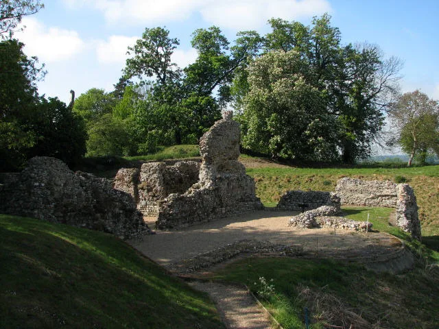
North Elmham chapel and manor house
Hill forts · 1.2 km

North Elmham Bishops Castle
Castles · 1.3 km

North Elmham Village Sign
Public art & sculpture · 1.3 km

Bintry Watermill
Historic houses · 1.6 km
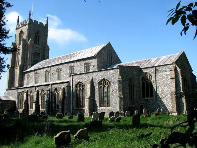
North Elmham
Towns & cities · 2.1 km

North Elmham
Villages · 2.1 km

Bintree War Memorial
Memorials & monuments · 2.3 km

Former Toll Bridge In The Grounds Of The Toll Bridge
Historic bridges · 2.4 km
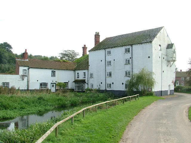
Bintree
Towns & cities · 2.5 km
Nearby
📷 5Museums · East of England
County School railway station
County School railway station — a museum in england-east-midlands, United Kingdom.
📷 3Miniature railways · East of England
Wensum Valley Miniature Railway
Wensum Valley Miniature Railway — a miniature railway in england-east-midlands, United Kingdom.
📷 3Historic houses · East of England
North Elmham Chapel
North Elmham Chapel — a historic house in england-east-midlands, United Kingdom.
📷 5Hill forts · East of England
North Elmham chapel and manor house
North Elmham chapel and manor house — Grade I listed building in North Elmham, Norfolk, United Kingdom.
📷 5Castles · East of England
North Elmham Bishops Castle
North Elmham Bishops Castle — a castle in england east midlands.
📷 3Public art & sculpture · East of England
North Elmham Village Sign
North Elmham Village Sign — a public art in england-east-midlands, United Kingdom.
Where to eat & stay near Watts Naval School
Places to stay
 📷 5
📷 5 📷 5
📷 5 📷 5
📷 5Campsites · East of England
Field
Field — a campsite in england east midlands.
 📷 4
📷 4 📷 5
📷 5 📷 3
📷 3Campsites · East of England
Park Farm Camping
Park Farm Camping — a campsite in england east midlands.
Places to eat & drink
 📷 5
📷 5Historic pubs · East of England
The Rampant Horse Inn
The Rampant Horse Inn in England East, United Kingdom.
 📷 5
📷 5 📷 5
📷 5Historic pubs · East of England
White Horse Public House And Adjoining Cottage
White Horse Public House And Adjoining Cottage in England East, United Kingdom.
 📷 5
📷 5Historic pubs · East of England
Oxford Stores Public House
Oxford Stores Public House in England East, United Kingdom.
 📷 5
📷 5 📷 5
📷 5More natural landmarks in this region
 📷 5
📷 5Natural landmarks · East of England
Orton Mere
Orton Mere — lake in Peterborough, Cambridgeshire, England, UK.
 📷 5
📷 5Natural landmarks · East of England
Magog Down
Magog Down — a other in england-london, United Kingdom.
 📷 5
📷 5Natural landmarks · East of England
Abington Pottery
Abington Pottery — a other in england-london, United Kingdom.
 📷 5
📷 5Natural landmarks · East of England
Car Dyke
Car Dyke — a other in england-london, United Kingdom.
Frequently asked questions
- Where is Watts Naval School?
- Watts Naval School is in Norfolk, the East Midlands, United Kingdom (postcode NR20 5LE), in the parish of Bintree.
- What is Watts Naval School?
- Watts Naval School — a school heritage in england-east-midlands, United Kingdom.
- How do I get to Watts Naval School?
- The nearest railway station is Dereham, about 9.5 km away. Drivers can use postcode NR20 5LE.
- When was Watts Naval School built?
- Built or established in 1903.
- Is Watts Naval School a protected site?
- Yes — Watts Naval School is part of the River Wensum SSSI Site of Special Scientific Interest and the Norfolk Coast National Landscape (AONB).
- Is Watts Naval School free to visit?
- Yes, Watts Naval School is free to enter.
- How do I get to Watts Naval School?
- Drivers can navigate to postcode NR20 5LE. It sits within the Mid Norfolk parliamentary constituency.