
Cemeteries · North West England
Warrington Cemetery
In or near Stockton Heath.
Warrington Cemetery is a cemetery in the United Kingdom.

David Dixon — CC BY-SA 2.0 via Wikimedia Commons licence

Plan your visit
- Typical visit
- 30 min–1 h
- Nearest railway station
- Warrington Central · 1.4 km
- Free entry
- Dog-friendly
Getting there & planning your visit
Warrington Cemetery is located at postcode WA1 3AX. The nearest railway station is Warrington Central, which is 1.4 km away. Entry to the cemetery is free.
About
Warrington Cemetery is a named cemetery in the United Kingdom. Coordinates: 53.3947°, -2.5723°. This entry is part of The Great Britain Guide, a free, ad-free, open-data tourist directory.
Photo gallery
Official information
Warrington Cemetery, opened in 1857, features a variety of memorials that reflect the area's history, including tributes to industrial figures and war heroes. The cemetery includes burial areas for different religious denominations, a baby garden, and is noted for its wildlife and architecture.
From the Wikipedia article
Warrington () is an industrial town in Cheshire, England. The town is the main settlement of the Borough of Warrington and sits on the banks of the River Mersey, with the town centre and its suburbs north of that river historically having been part of Lancashire. It is 16 miles (26 km) east of Liverpool and 16 miles (26 km) west of Manchester. The population in 2021 was recorded as 174,970 for the built-up area and 210,900 for the wider borough, the latter being more than double that of 1968 when it became a new town. Warrington is the largest town in the ceremonial county of Cheshire. Warrington was founded by the Romans at an important crossing place on the River Mersey. A new settlement was established by the Saxon Wærings. By the Middle Ages, Warrington had emerged as a market town at the lowest bridging point of the river. A local tradition of textile and tool production dates from this time. The expansion and urbanisation of Warrington coincided with the Industrial Revolution, particularly after the Mersey was made navigable in the 18th century. The West Coast Main Line runs north to south through the town, and the Liverpool to Manchester railway (the Cheshire Lines route) west to east. The Manchester Ship Canal cuts through the south of the borough (west to east). The M6, M56 and M62 motorways form a partial box around the town and are all accessible through Warrington.
Excerpt from Wikipedia under CC BY-SA 4.0. See the source article linked in Sources below.
Background
History
Warrington has been a major crossing point on the River Mersey since ancient times and there was a Roman settlement at Wilderspool. Local archaeological evidence indicates that there were also Bronze Age settlements. In medieval times Warrington's importance was as a market town and bridging point of the River Mersey. The first reference to a bridge at Warrington is found in 1285. The origin of the modern town was located in the area around St Elphin's Church, now included in the Church Street Conservation Area, established whilst the main river crossing was via a ford approximately 1 km upriver of Warrington Bridge. Warrington was the first paved town in Lancashire, which took place in…
Visiting
Warrington has an array of open spaces, including parks, trails, nature reserves and gardens rich in history and visual beauty. Many of these attractions are dog friendly, and free of charge to enter, usually with man-made paths created to ensure safety. The attractions include: Warrington is also home to other small parks and open spaces such Woolston park, Birchwood forest park and Bank park. Most open areas are dog friendly and only require unfriendly dogs to be kept under proper control by owners.
Sourced from Wikipedia under CC BY-SA 4.0.
- Coordinates
- 53.3947, -2.5723
- District
- Warrington
- Parish
- Warrington, unparished area
- Postcode
- WA1 3AX
- Parliamentary constituency
- Warrington North
- Phone
- 01925 267731
- Nearest railway station
- Warrington Central — 1.4 km
- Opening
- Saturday to Thursday 9am–3.30pm, Friday 9am–3pm; 24 hour pedestrian access
- Official site
- www.warrington.gov.uk
Sources
- osm: w22891776 (ODbL)
- wikipedia: Warrington (CC BY-SA 4.0)
Other places nearby
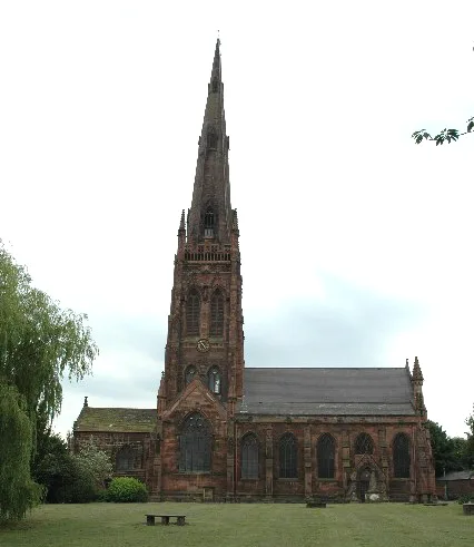
St Elphin's Church, Warrington
Historic churches · 0.7 km

Old Billy
Memorials & monuments · 0.7 km

Cromwell House
Historic houses · 0.9 km

Kingsway Bridge
Historic bridges · 0.9 km

Star Kinema
Theatres · 0.9 km

Howley Footbridge
Historic bridges · 0.9 km
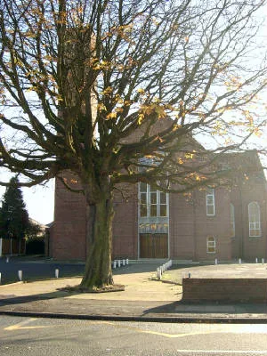
St.Oswald's Church, Padgate
Historic churches · 1.0 km
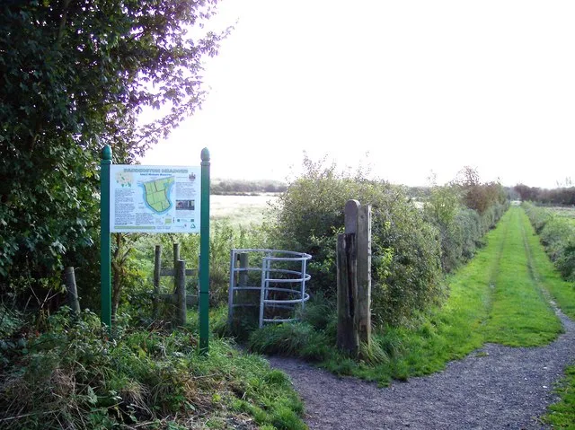
Paddington Meadows
Wildlife reserves · 1.1 km
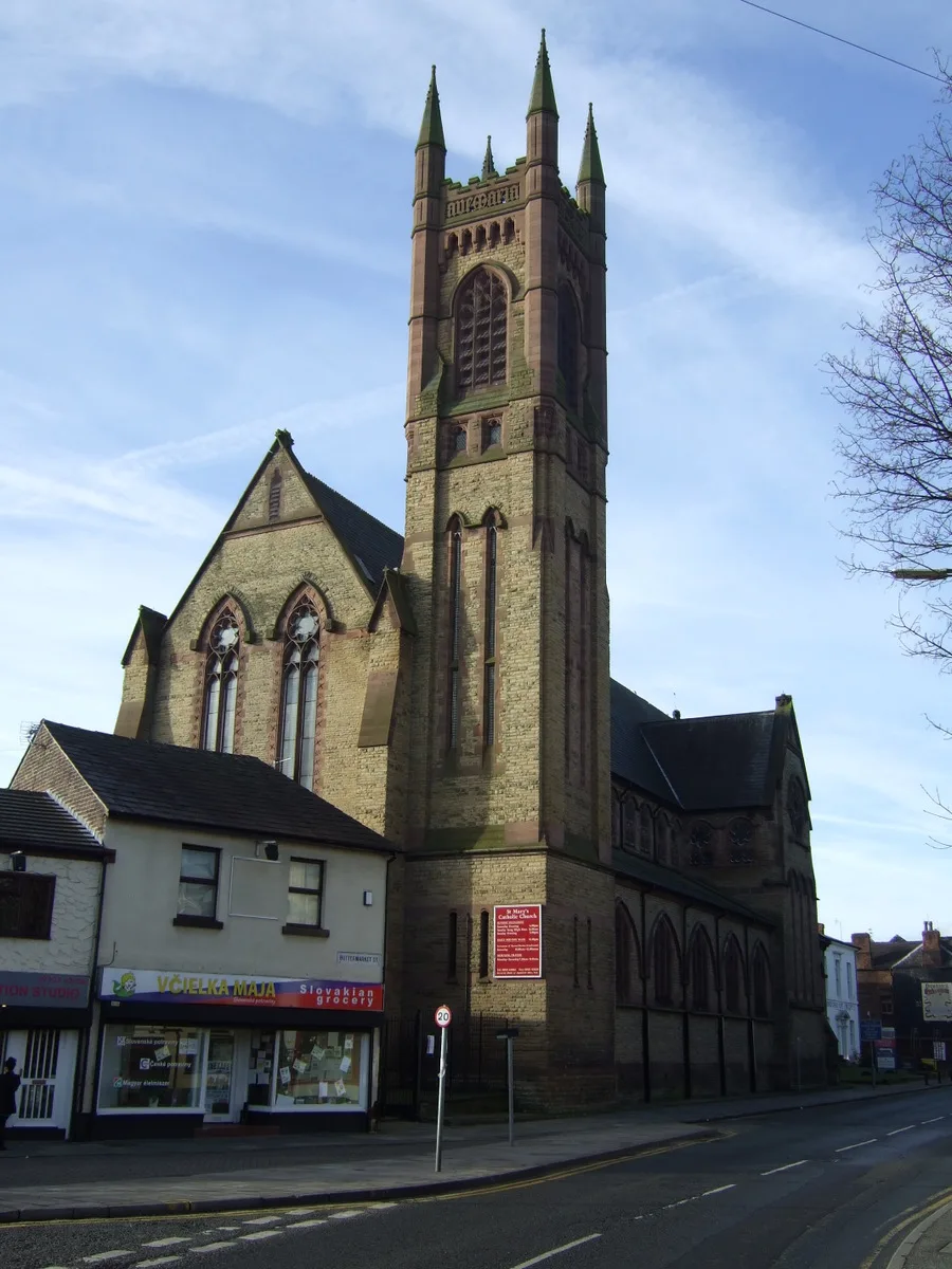
St Mary's Church, Warrington
Historic churches · 1.2 km

Paddington Meadows
Forests & woodlands · 1.3 km

Padgate
Villages · 1.3 km

Orford Park
Parks · 1.3 km
Nearby
📷 3Historic churches · North West England
St Elphin's Church, Warrington
St Elphin's Church, Warrington — Grade II* listed church in Warrington, Cheshire, England, UK.
📷 4Memorials & monuments · North West England
Old Billy
Old Billy — a memorial in North West England, United Kingdom.
📷 3Historic houses · North West England
Cromwell House
Cromwell House — Grade II* listed house in Warrington, Cheshire, England, UK.
📷 3Historic bridges · North West England
Kingsway Bridge
Kingsway Bridge is a historic bridge in the United Kingdom.
📷 3📷 3Historic bridges · North West England
Howley Footbridge
Howley Footbridge is a historic bridge in the United Kingdom.
Where to eat & stay near Warrington Cemetery
Places to stay
 📷 5
📷 5Caravan parks · North West England
Canal Bank Farm caravan site
Canal Bank Farm caravan site — a caravan park in england west midlands.
 📷 5
📷 5 📷 5
📷 5Caravan parks · North West England
Meadow Bank Caravan Park
Meadow Bank Caravan Park — a caravan park in wales north.
 📷 5
📷 5 📷 5
📷 5Campsites · North West England
Holly Bank Caravan Park
Holly Bank Caravan Park — a campsite in england west midlands.
 📷 5
📷 5Caravan parks · North West England
Agden Brow Caravan Park
Agden Brow Caravan Park — a caravan park in england west midlands.
Places to eat & drink
 📷 5
📷 5Restaurants · North West England
Galleries Cafe
Galleries Cafe — a restaurant in wales north.
 📷 5
📷 5Historic pubs · North West England
The Wheatsheaf, St Helens
The Wheatsheaf, St Helens in Wales North, United Kingdom.
 📷 5
📷 5Historic pubs · North West England
The Norton Arms Public House
The Norton Arms Public House in Wales North, United Kingdom.
 📷 5
📷 5Historic pubs · North West England
Castle Hotel, Halton
Castle Hotel, Halton in Wales North, United Kingdom.
 📷 3
📷 3Historic pubs · North West England
Tricorn
Tricorn — Historic pub — listed building or notable heritage status.
 📷 5
📷 5Historic pubs · North West England
George and Dragon, Great Budworth
George and Dragon, Great Budworth in England North West, United Kingdom.
More cemeteries in this region
 📷 5
📷 5Cemeteries · North West England
Brooklands Cemetery
Brooklands Cemetery is a cemetery in the United Kingdom.
 📷 4
📷 4Cemeteries · North West England
Congleton Cemetery
Congleton Cemetery is a cemetery in the United Kingdom.
 📷 5
📷 5Cemeteries · North West England
Coppenhall Cemetery
Coppenhall Cemetery is a cemetery in the United Kingdom.
 📷 3
📷 3Cemeteries · North West England
Former site of St. Saviour's Church
Former site of St. Saviour's Church is a cemetery in the United Kingdom.
Frequently asked questions
- Where is Warrington Cemetery?
- Warrington Cemetery is in North-West England, United Kingdom (postcode WA1 3AX), in the parish of Warrington, unparished area.
- What is Warrington Cemetery?
- Warrington Cemetery is a cemetery in the United Kingdom.
- How do I get to Warrington Cemetery?
- The nearest railway station is Warrington Central, about 1.4 km away. The nearest town is Stockton Heath. Drivers can use postcode WA1 3AX.
- Is Warrington Cemetery free to visit?
- Yes, Warrington Cemetery is free to enter.
- How do I get to Warrington Cemetery?
- The nearest railway station is Warrington Central, about 1.4 km away. Drivers can navigate to postcode WA1 3AX.