
Memorials & monuments · West Midlands
War Memorial Approximately 16 Metres South of Porch of Church of St Botolph
In or near Cropredy.
War Memorial Approximately 16 Metres South of Porch of Church of St Botolph — Grade II listed building-listed memorial in england-west-midlands, United Kingdom.

John Lord — CC BY-SA 2.0 via Wikimedia Commons licence

Plan your visit
- Typical visit
- 15 min–45 min
- Nearest railway station
- Banbury · 9.5 km
- Free entry
- Dog-friendly
Getting there & planning your visit
The War Memorial is located approximately 16 metres south of the porch of the Church of St Botolph in Stratford-on-Avon, Warwickshire, postcode OX17 1DZ. The nearest railway station is Banbury, which is 9.5 km away. Entry to the memorial is free.
About
War Memorial Approximately 16 Metres South of Porch of Church of St Botolph is a Grade II listed building-listed memorial in england-west-midlands, United Kingdom, registered on the National Heritage List for England (NHLE entry 1024468). Listed status protects buildings and structures of special architectural or historic interest. See the linked Wikipedia article for further details.
Photo gallery
Heritage listing
Details FARNBOROUGH CHURCH LANE SP4349 16/23 War memorial approx. 16m. S of porch of Church of St. Botolph GV II War memorial. c.1919. Ironstone. In the style of a C15 churchyard cross. High square base with chamfered plinth and splayed cornice. One step above. Square base cut back to moulded octagon. Cross has octagonal shaft and moulded capital with interlace bond. Damaged carved cross. Fine lettering. Included for group value. Listing NGR: SP4338149544 This List entry has been amended to add sources for War Memorials Online and the War Memorials Register. These sources were not used in the compilation of this List entry but are added here as a guide for further reading, 27 July 2017. Legacy The contents of this record have been generated from a legacy data system. Legacy System number: 305598 Legacy System: LBS
From the Historic England List Entry under OGL v3.
Place summary
The War Memorial is located approximately 16 metres south of the porch of the Church of St Botolph in Farnborough, Warwickshire, within the West Midlands. This structure is designated as a Grade II listed building, recognising its special architectural and historical significance.
AI-generated from the structured facts on this page (operator, designation, listing, era). Not a substitute for visiting.
- Coordinates
- 52.1425, -1.3675
- County
- Warwickshire
- District
- Stratford-on-Avon
- Parish
- Farnborough
- Postcode
- OX17 1DZ
- Parliamentary constituency
- Kenilworth and Southam
- Nearest railway station
- Banbury — 9.5 km
Sources
- wikidata: Q26275445 (CC0)
Other places nearby

Farnborough
Villages · 0.1 km
The Inn at Farnborough
Historic houses · 0.2 km

Farnborough Hall
Historic houses · 0.3 km

Farnborough Hall Temple
Follies · 0.6 km
Oval Pavillion
Follies · 0.8 km
.jpg?width=1200)
Obelisk
Memorials & monuments · 0.9 km

Farnborough Hall The Obelisk
Forts · 0.9 km

Anita"s Touring Caravan Park
Campsites · 2.1 km

Mollington
Villages · 2.2 km

Claydon WWII Memorial
Memorials & monuments · 2.4 km
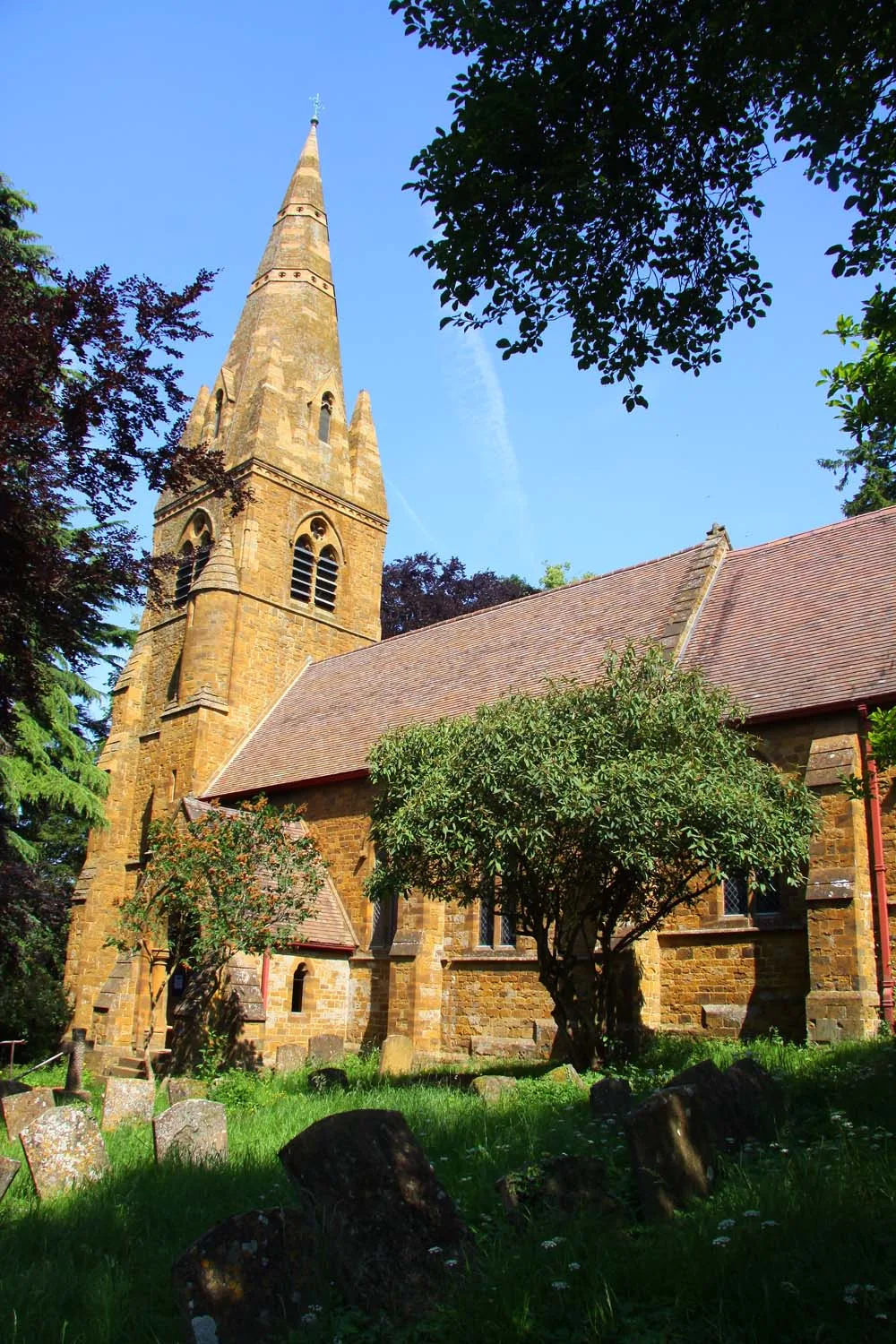
St John the Baptist's Church, Avon Dassett
Historic churches · 2.4 km
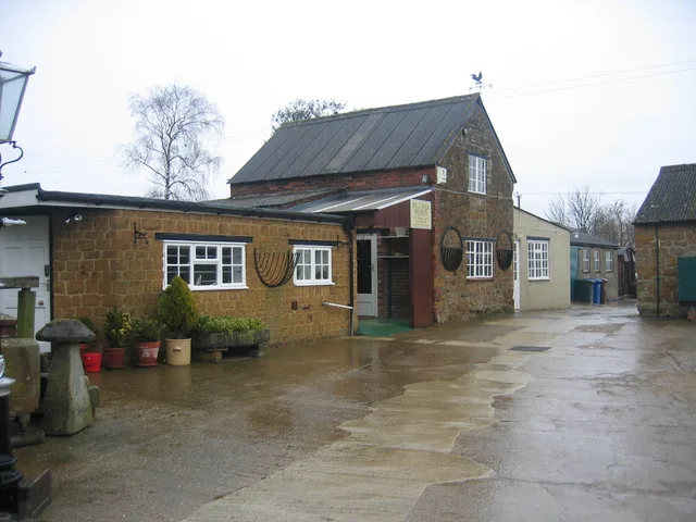
Bygones Museum
Museums · 2.4 km
Nearby
📷 5📷 3Historic houses · West Midlands
The Inn at Farnborough
The Inn at Farnborough — a Grade II*-listed historic house in england-west-midlands, United Kingdom.
📷 3Historic houses · West Midlands
Farnborough Hall
Farnborough Hall — a other in england-west-midlands, United Kingdom.
📷 3📷 3📷 5Where to eat & stay near War Memorial Approximately 16 Metres South of Porch of Church of St Botolph
Places to stay
📷 5Campsites · South East England
Anita"s Touring Caravan Park
Anita"s Touring Caravan Park — a campsite in england west midlands.
 📷 3
📷 3Campsites · West Midlands
Edgehill Country Park Campsite
Edgehill Country Park Campsite — a campsite in england west midlands.
 📷 5
📷 5Caravan parks · West Midlands
Fir Tree Caravan Site
Fir Tree Caravan Site — a caravan park in england west midlands.
 📷 5
📷 5 📷 5
📷 5Campsites · South East England
Old Dairy Farm Caravan and Camping
Old Dairy Farm Caravan and Camping — a campsite in england west midlands.
 📷 5
📷 5Campsites · West Midlands
Mount Farm Park
Mount Farm Park — a campsite in england west midlands.
Places to eat & drink
 📷 7
📷 7Historic pubs · West Midlands
Merrie Lion Public House
Merrie Lion Public House in England West Midlands, United Kingdom.
 📷 7
📷 7Historic pubs · South East England
The Brasenose Arms
The Brasenose Arms in England West Midlands, United Kingdom.
 📷 7
📷 7Historic pubs · West Midlands
The Rose And Crown Public House
The Rose And Crown Public House in England West Midlands, United Kingdom.
 📷 5
📷 5Historic pubs · West Midlands
Castle at Edgehill
Castle at Edgehill — Historic pub — listed building or notable heritage status.
 📷 5
📷 5 📷 5
📷 5Historic pubs · South East England
The Roebuck Inn
The Roebuck Inn — Historic pub — listed building or notable heritage status.
More memorials in this region
 📷 3
📷 3Memorials & monuments · West Midlands
Abbots Bromley War Memorial
Abbots Bromley War Memorial — Grade II listed building-listed memorial in england-east-midlands, United Kingdom.
 📷 3
📷 3Memorials & monuments · West Midlands
Kings Bromley War Memorial
Kings Bromley War Memorial — Grade II listed building-listed memorial in england-east-midlands, United Kingdom.
 📷 3
📷 3Memorials & monuments · West Midlands
Hednesford War Memorial And Gates
Hednesford War Memorial And Gates — Grade II listed building-listed memorial in england-east-midlands, United Kingdom.
 📷 3
📷 3Memorials & monuments · West Midlands
Uttoxeter War Memorial
Uttoxeter War Memorial — Grade II listed building-listed memorial in england-east-midlands, United Kingdom.
Frequently asked questions
- Where is War Memorial Approximately 16 Metres South of Porch of Church of St Botolph?
- War Memorial Approximately 16 Metres South of Porch of Church of St Botolph is in Warwickshire, the West Midlands, United Kingdom (postcode OX17 1DZ), in the parish of Farnborough.
- What is War Memorial Approximately 16 Metres South of Porch of Church of St Botolph?
- War Memorial Approximately 16 Metres South of Porch of Church of St Botolph — Grade II listed building-listed memorial in england-west-midlands, United Kingdom.
- How do I get to War Memorial Approximately 16 Metres South of Porch of Church of St Botolph?
- The nearest railway station is Banbury, about 9.5 km away. Drivers can use postcode OX17 1DZ.
- Is War Memorial Approximately 16 Metres South of Porch of Church of St Botolph a listed building?
- War Memorial Approximately 16 Metres South of Porch of Church of St Botolph is officially recognised as Grade II listed building listed.
- Is War Memorial Approximately 16 Metres South of Porch of Church of St Botolph free to visit?
- Yes, War Memorial Approximately 16 Metres South of Porch of Church of St Botolph is free to enter.
- How do I get to War Memorial Approximately 16 Metres South of Porch of Church of St Botolph?
- Drivers can navigate to postcode OX17 1DZ. It sits within the Kenilworth and Southam parliamentary constituency.