Archaeological sites · South East England
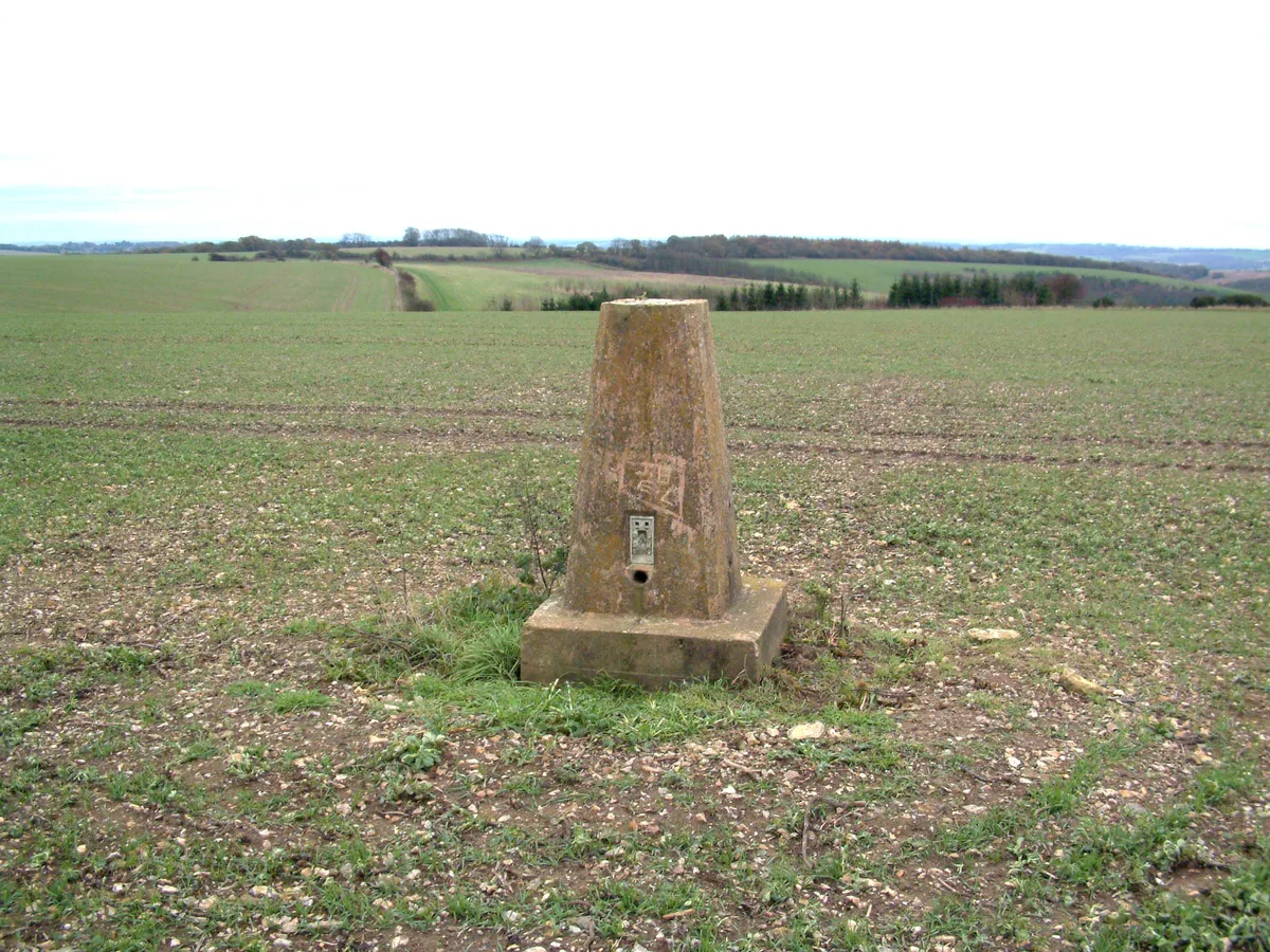
Wansdyke, section 530yds (490m) on W side of Old Dyke Lane
In or near Inkpen.
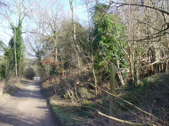
Wansdyke, section 530yds (490m) on W side of Old Dyke Lane — archaeological site in Inkpen, West Berkshire, England, UK.

Wikimedia Commons contributors — see linked file page for photographer and licence licence
Plan your visit
- Typical visit
- 45 min–1.5 h
- Nearest railway station
- Hungerford · 4.9 km
- Free entry
- Dog-friendly
About
Wansdyke, section 530yds (490m) on W side of Old Dyke Lane is a place of interest in South-East England. Officially recognised as scheduled monument. The site is within the Cotswolds National Landscape (AONB). It sits within the Newbury parliamentary constituency. The nearest railway station is Hungerford, about 4.9 km away. Postcode area RG17.
Photo gallery
Protected designations
- Area of Outstanding Natural Beauty: Cotswolds
- Area of Outstanding Natural Beauty: North Wessex Downs
Designations sourced from Natural England open data under OGL v3.
Place summary
Wansdyke is an archaeological site located in Inkpen, South-East England, specifically 530 yards (490 metres) on the west side of Old Dyke Lane. This scheduled monument is situated within the Areas of Outstanding Natural Beauty of the Cotswolds and North Wessex Downs.
AI-generated from the structured facts on this page (operator, designation, listing, era). Not a substitute for visiting.
- Coordinates
- 51.3718, -1.4962
- District
- West Berkshire
- Parish
- Inkpen
- Postcode
- RG17 9DU
- Parliamentary constituency
- Newbury
- Nearest railway station
- Hungerford — 4.9 km
Sources
- wikidata: Q17642282 (CC0)
- commons: Wansdyke, Old Dyke Lane, Inkpen 03.jpg (CC BY-SA 4.0)
Other places nearby

Inkpen House
Historic houses · 0.6 km

The Old Craven Arms
Historic pubs · 1.1 km

Inkpen Crocus Field
Forests & woodlands · 1.8 km
Inkpen Hill
Mountains & hills · 1.9 km

Combe Gibbet
Memorials & monuments · 1.9 km

Gallows Down
Mountains & hills · 2.0 km
Inkpen
Towns & cities · 2.0 km

Ham Hill
Mountains & hills · 2.2 km

Ham
Villages · 2.2 km

Dove's House
Historic houses · 2.2 km

Summer Hill
Mountains & hills · 2.3 km

Church of All Saints
Historic churches · 2.4 km
Nearby
📷 5Historic houses · South East England
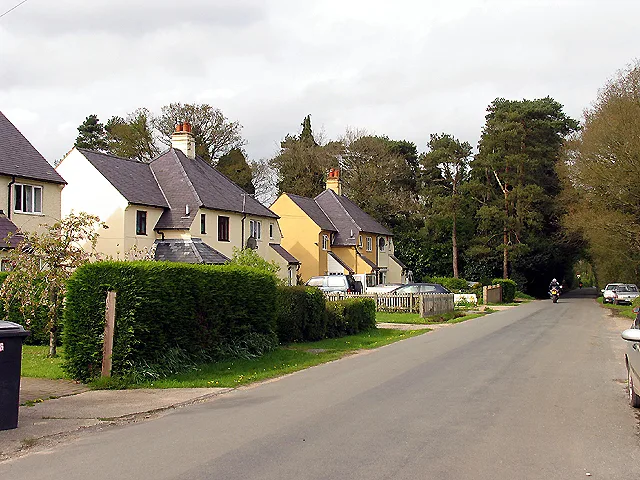
Inkpen House
Inkpen House — house in Inkpen, West Berkshire, England, UK.
📷 5Historic pubs · South East England
The Old Craven Arms
The Old Craven Arms in England South East, United Kingdom.
📷 5Forests & woodlands · South East England
Inkpen Crocus Field
Inkpen Crocus Field is a forest or woodland in the United Kingdom.
📷 5📷 5Memorials & monuments · South East England
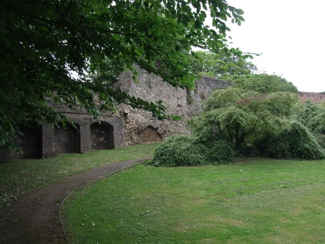
Combe Gibbet
Combe Gibbet is a gibbet at the top of Gallows Down, near the village and just within the civil parish of Combe in Berkshire (formerly Hampshire), England.
📷 5Mountains & hills · South East England
Gallows Down
Gallows Down — mountain in england south east. Elevation: 280 m.
Where to eat & stay near Wansdyke, section 530yds (490m) on W side of Old Dyke Lane
Places to stay
 📷 5
📷 5Hotels · South East England
The Three Swans Hotel
The Three Swans Hotel — a hotel in england south east.
 📷 6
📷 6 📷 5
📷 5Hotels · South East England
The Retreat at Elcot Park
The Retreat at Elcot Park — a hotel in england south east.
 📷 7
📷 7Hotels · South East England
The Pheasant Inn
The Pheasant Inn — a hotel in england south east.
 📷 5
📷 5Campsites · South East England
Oakley Farm Caravan Park
Oakley Farm Caravan Park — a campsite in england south east.
 📷 7
📷 7Places to eat & drink
📷 5Historic pubs · South East England
The Old Craven Arms
The Old Craven Arms in England South East, United Kingdom.
 📷 7
📷 7Restaurants · South East England
The Funghi Club
The Funghi Club — a restaurant in england south east.
 📷 7
📷 7Restaurants · South East England
Tutti Pole
Tutti Pole — a restaurant in england south east.
 📷 5
📷 5 📷 7
📷 7Historic pubs · South East England
The Pelican Public House
The Pelican Public House in England South East, United Kingdom.
 📷 5
📷 5More archaeological sites in this region
 📷 5
📷 5Archaeological sites · South East England
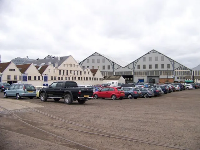
Chatham Dockyard, site of South Mast Pond
Chatham Dockyard, site of South Mast Pond — archaeological site in Medway, Kent, England, UK.
 📷 5
📷 5Archaeological sites · South East England
Open areas within Roman, Saxon and medieval town
Open areas within Roman, Saxon and medieval town — archaeological site in Medway, Kent, England, UK.
 📷 5
📷 5Archaeological sites · South East England
Oxmoor Copse
Oxmoor Copse — woodland in Surrey, England.
 📷 5
📷 5Frequently asked questions
- Where is Wansdyke, section 530yds (490m) on W side of Old Dyke Lane?
- Wansdyke, section 530yds (490m) on W side of Old Dyke Lane is in South-East England, United Kingdom (postcode RG17 9DU), in the parish of Inkpen.
- What is Wansdyke, section 530yds (490m) on W side of Old Dyke Lane?
- Wansdyke, section 530yds (490m) on W side of Old Dyke Lane — archaeological site in Inkpen, West Berkshire, England, UK.
- How do I get to Wansdyke, section 530yds (490m) on W side of Old Dyke Lane?
- The nearest railway station is Hungerford, about 4.9 km away. Drivers can use postcode RG17 9DU.
- Is Wansdyke, section 530yds (490m) on W side of Old Dyke Lane a listed building?
- Wansdyke, section 530yds (490m) on W side of Old Dyke Lane is officially recognised as scheduled monument listed.
- Is Wansdyke, section 530yds (490m) on W side of Old Dyke Lane a protected site?
- Yes — Wansdyke, section 530yds (490m) on W side of Old Dyke Lane is part of the Cotswolds National Landscape (AONB) and the North Wessex Downs National Landscape (AONB).
- Is Wansdyke, section 530yds (490m) on W side of Old Dyke Lane free to visit?
- Yes, Wansdyke, section 530yds (490m) on W side of Old Dyke Lane is free to enter.
- How do I get to Wansdyke, section 530yds (490m) on W side of Old Dyke Lane?
- The nearest railway station is Hungerford, about 4.9 km away. Drivers can navigate to postcode RG17 9DU.