
Manor houses · South East England
Vinehall Manor
In or near Mountfield.
Vinehall Manor — Grade II listed building-listed manor in england-south-east, United Kingdom.

Oast House Archive — CC BY-SA 2.0 via Wikimedia Commons licence

Plan your visit
- Typical visit
- 1 h–2 h
- Nearest railway station
- Robertsbridge Junction · 4.1 km
- Limited wheelchair access
Getting there & planning your visit
To visit Vinehall Manor, the nearest railway station is Robertsbridge Junction, located 4.1 km away. The postcode for sat-nav is TN33 0NS. Entry has limited wheelchair accessibility.
About
Vinehall Manor is a Grade II listed building-listed manor in england-south-east, United Kingdom, registered on the National Heritage List for England (NHLE entry 1238366). Listed status protects buildings and structures of special architectural or historic interest. See the linked Wikipedia article for further details.
Photo gallery
See it from the streetimagery from 2022
Imagery © Mapillary contributors, CC BY-SA 4.0
Heritage listing
Details TQ 72 SE WHATLINGTON VINEHALL ROAD 13/2 Vinehall Manor (Formerly listed as 3.8.61 Home Farmhouse II L-shaped C16 house which was the home of the Dunk family. Two storeys and attic. Four windows. One gabled dormer. Fronted with red brick on ground floor, above tile-hung, back wholly tile-hung. Tiled roof. Casement windows with pointed Gothic panes. Chimney breast on west wall. Listing NGR: TQ7574320214 Legacy The contents of this record have been generated from a legacy data system. Legacy System number: 415614 Legacy System: LBS
From the Historic England List Entry under OGL v3.
Protected designations
- Area of Outstanding Natural Beauty: High Weald
Designations sourced from Natural England open data under OGL v3.
Place summary
Vinehall Manor is a Grade II listed building located in South-East England. It is notable for its architectural significance and historical value.
AI-generated from the structured facts on this page (operator, designation, listing, era). Not a substitute for visiting.
- Coordinates
- 50.9546, 0.5008
- County
- East Sussex
- District
- Rother
- Parish
- Whatlington
- Postcode
- TN33 0NS
- Parliamentary constituency
- Bexhill and Battle
- Nearest railway station
- Robertsbridge Junction — 4.1 km
Sources
- wikidata: Q26531428 (CC0)
Other places nearby

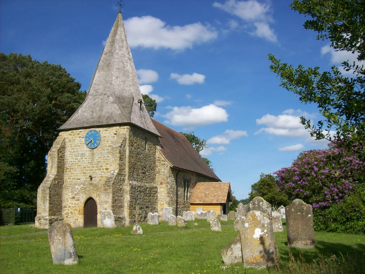
Vinehall School
Natural landmarks · 0.7 km
Mountfield
Towns & cities · 1.6 km
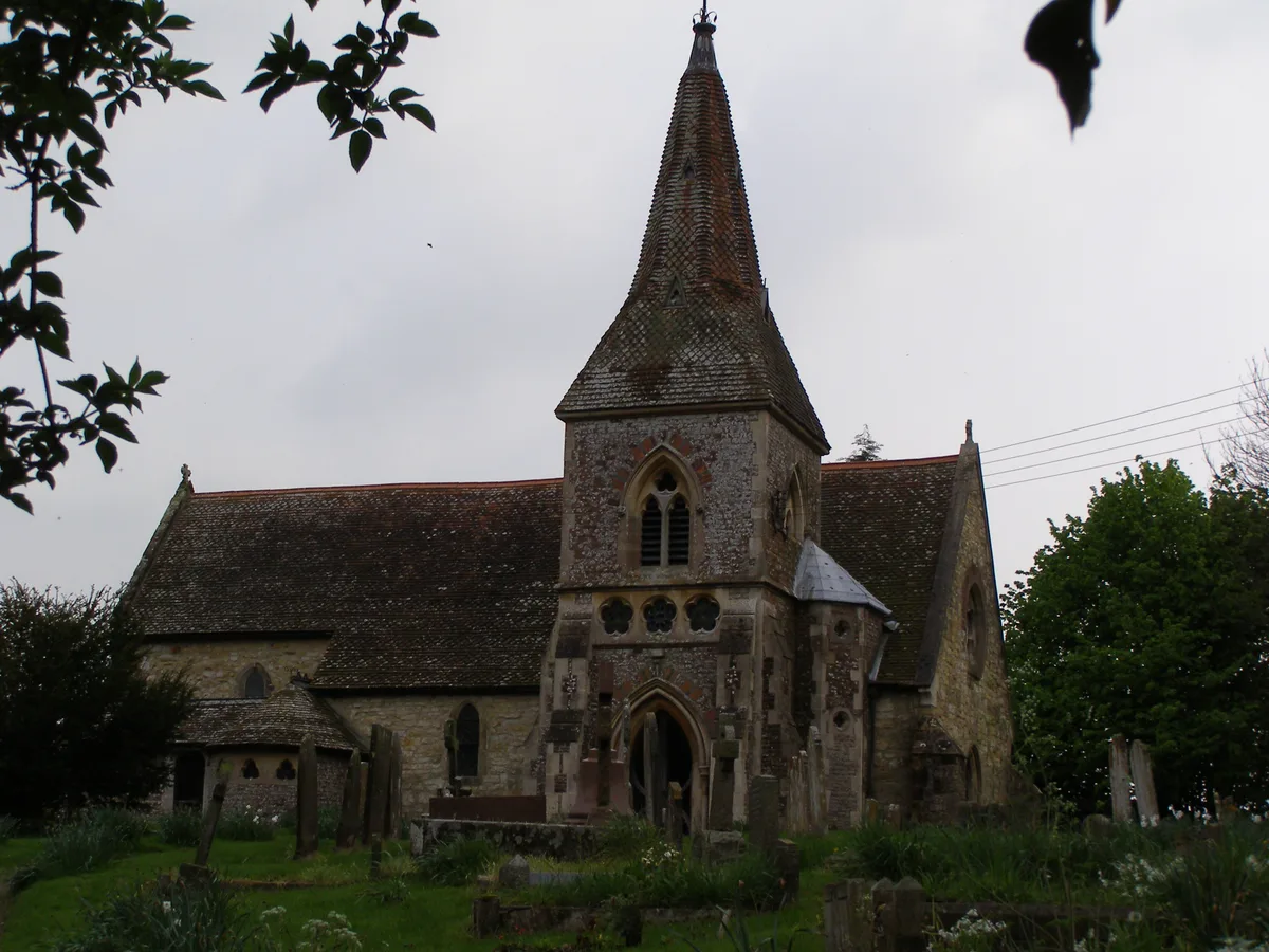
Whatlington
Towns & cities · 1.7 km

John's Cross Public House
Historic pubs · 1.8 km
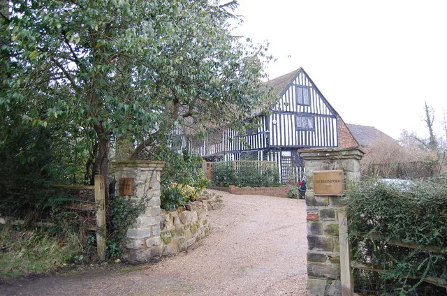
Durhamford Manor
Stately homes · 2.0 km

Giant Beech Tree
Natural landmarks · 2.4 km

Austford Farm
Archaeological sites · 3.0 km

The Brickwall Hotel
Hotels · 3.2 km

Staplecross
Villages · 3.2 km

Staplecross Village Sign
Public art & sculpture · 3.2 km

Staplecross War Memorial
Memorials & monuments · 3.2 km

The Cross Inn
Historic pubs · 3.3 km
Nearby
📷 5Natural landmarks · South East England
Vinehall School
Vinehall School — a school heritage in england-south-east, United Kingdom.
Flagship📷 10Towns & cities · South East England
Mountfield
Mountfield — village in East Sussex, England, UK.
Flagship📷 10Towns & cities · South East England
Whatlington
Whatlington — village in East Sussex, England, UK.
📷 7Historic pubs · South East England
John's Cross Public House
John's Cross Public House in England South East, United Kingdom.
📷 5Stately homes · South East England
Durhamford Manor
Durhamford Manor — manor house in Sedlescombe, East Sussex, England, UK.
📷 5Natural landmarks · South East England
Giant Beech Tree
Giant Beech Tree — a other in england-south-east, United Kingdom.
Where to eat & stay near Vinehall Manor
Places to stay
📷 5 📷 5
📷 5Campsites · South East England
Uckham Lane Nurseries Caravan Site
Uckham Lane Nurseries Caravan Site — a campsite in england south east.
 📷 5
📷 5Campsites · South East England
Glottenham Farm Glamping
Glottenham Farm Glamping — a campsite in england south east.
 📷 5
📷 5Caravan parks · South East England
Meadowview Park
Meadowview Park — a caravan park in england south east.
 📷 5
📷 5Campsites · South East England
Netherfield Place Farm
Netherfield Place Farm — a campsite in england south east.
 📷 5
📷 5Campsites · South East England
Park Farm Camping
Park Farm Camping — a campsite in england south east.
Places to eat & drink
📷 7Historic pubs · South East England
John's Cross Public House
John's Cross Public House in England South East, United Kingdom.
📷 5 📷 5
📷 5Historic pubs · South East England
The Seven Stars Inn
The Seven Stars Inn is a 14th-century public house in Robertsbridge, East Sussex, a well-preserved example of a medieval building and a typical Sussex village pub. It is associated with historical eve
 📷 5
📷 5Historic pubs · South East England
The Salehurst Halt Public House
The Salehurst Halt Public House in England South East, United Kingdom.
 📷 7
📷 7 📷 7
📷 7More places in this region
 📷 5
📷 5Manor houses · South East England
Albury Manor
Albury Manor — a manor in england-london, United Kingdom.
 📷 5
📷 5Manor houses · South East England
Weardale Manor
Weardale Manor — a manor in england-london, United Kingdom.
 📷 5
📷 5Manor houses · South East England
Rowbarns Manor
Rowbarns Manor — a manor in england-london, United Kingdom.
 📷 5
📷 5Manor houses · South East England
Sutton Place
Sutton Place — a manor in england-london, United Kingdom.
Frequently asked questions
- Where is Vinehall Manor?
- Vinehall Manor is in East Sussex, South-East England, United Kingdom (postcode TN33 0NS), in the parish of Whatlington.
- What is Vinehall Manor?
- Vinehall Manor — Grade II listed building-listed manor in england-south-east, United Kingdom.
- How do I get to Vinehall Manor?
- The nearest railway station is Robertsbridge Junction, about 4.1 km away. Drivers can use postcode TN33 0NS.
- Is Vinehall Manor a listed building?
- Vinehall Manor is officially recognised as Grade II listed building listed.
- Is Vinehall Manor a protected site?
- Yes — Vinehall Manor is part of the High Weald National Landscape (AONB).
- How do I get to Vinehall Manor?
- The nearest railway station is Robertsbridge Junction, about 4.1 km away. Drivers can navigate to postcode TN33 0NS.