
Museums · South Wales
Venta Silurum
In or near Caerwent.
Venta Silurum was a town in Roman Britain (Britannia). The name Venta Silurum means "the town of the Silurēs", with the Silurēs being a powerful and warlike tribe. Today, it consists of remains in the

Jaggery — CC BY-SA 2.0 via Wikimedia Commons licence

Plan your visit
- Typical visit
- 1.5 h–3 h
- Best time of year
- Year-round
- Nearest railway station
- Caldicot · 3.0 km
- Family-friendly
- Limited wheelchair access
About
Venta Silurum was a town in Roman Britain (Britannia). The name Venta Silurum means "the town of the Silurēs", with the Silurēs being a powerful and warlike tribe. Today, it consists of remains in the village of Caerwent in Monmouthshire, southeast Wales. Much of it has been archaeologically excavated and the nearby Newport Museum has many of the finds on display.
Photo gallery
See it from the streetimagery from 2018
Imagery © Mapillary contributors, CC BY-SA 4.0
Protected designations
- Site of Special Scientific Interest: Severn Estuary SSSI
Designations sourced from Natural England open data under OGL v3.
From the Wikipedia article
Venta Silurum was a town in Roman Britain (Britannia). The name Venta Silurum means "the town of the Silurēs", with the Silurēs being a powerful and warlike tribe. Today, it consists of remains in the village of Caerwent in Monmouthshire, southeast Wales. Much of it has been archaeologically excavated and the nearby Newport Museum has many of the finds on display.
Excerpt from Wikipedia under CC BY-SA 4.0. See the source article linked in Sources below.
Background
History
Venta was established by the Romans in around AD 75 as an administrative centre for the defeated Silures tribe in Roman Wales. Venta Silurum seems to mean "Market town of the Silures" (cf. Venta Belgarum and Venta Icenorum). This is confirmed by inscriptions on the "Civitas Silurum" stone, now on display in the parish church. The town, which was located on the Roman road between Isca Augusta (Caerleon) and Glevum (Gloucester) and close to the Severn Estuary, was (in contrast with nearby "Isca") essentially established for civilian administration rather than for military purposes.
Sourced from Wikipedia under CC BY-SA 4.0.
- Coordinates
- 51.6110, -2.7680
- District
- Monmouthshire
- Parish
- Caerwent
- Postcode
- NP26 5AY
- Parliamentary constituency
- Monmouthshire
- Nearest railway station
- Caldicot — 3 km
Sources
- wikipedia: Venta Silurum (CC BY-SA 4.0)
Other places nearby

Caer-went Roman Town
Archaeological sites · 0.0 km

Venta Silurum
Vineyards · 0.0 km

Church of St Stephen and St Tathan (Tatheus)
Historic churches · 0.1 km

Caerwent
Towns & cities · 0.1 km
classical Roman temple at insula VIII, Caerwent
Follies · 0.1 km

Forum-Basilica
Archaeological sites · 0.1 km

Shops and Houses
Archaeological sites · 0.1 km

Venta Silurum amphitheatre
Open-air theatres · 0.2 km
Caewent Roman Town
Archaeological sites · 0.2 km
Courtyard House
Archaeological sites · 0.2 km

Caerwent Motte
Literary houses · 0.3 km

Castle Mound
Viewpoints · 0.3 km
Nearby
📷 3Archaeological sites · South Wales
Caer-went Roman Town
Caer-went Roman Town — a archaeological in wales-south, United Kingdom.
📷 5Vineyards · South Wales
Venta Silurum
Venta Silurum — a UK vineyard in wales south, producing English or Welsh wine from cool-climate grape varieties.
📷 5Historic churches · South Wales
Church of St Stephen and St Tathan (Tatheus)
Church of St Stephen and St Tathan (Tatheus) — Grade II* listed building-listed church in wales-south, United Kingdom.
📷 5Towns & cities · South Wales
Caerwent
Caerwent — village and community in Monmouthshire, Wales.
📷 5Follies · South Wales
classical Roman temple at insula VIII, Caerwent
classical Roman temple at insula VIII, Caerwent — a temple folly in wales-south, United Kingdom.
📷 3Archaeological sites · South Wales
Forum-Basilica
Forum-Basilica — a archaeological in wales-south, United Kingdom.
Where to eat & stay near Venta Silurum
Places to stay
 📷 5
📷 5Hotels · South Wales
St Pierre Country Club
St Pierre Country Club — a hotel in wales south.
 📷 7
📷 7 📷 5
📷 5 📷 7
📷 7Hotels · South Wales
Old Barn Inn Hotel
Old Barn Inn Hotel — a hotel in wales south.
 📷 7
📷 7 📷 5
📷 5Places to eat & drink
 📷 3
📷 3Restaurants · South Wales
Ego at The Groes Wen Inn
Ego at The Groes Wen Inn — a restaurant in wales south. Cuisine: mediterranean. Brand: Ego.
 📷 6
📷 6 📷 7
📷 7 📷 5
📷 5Restaurants · South Wales
Mint & Mustard
Mint & Mustard — a restaurant in wales south.
 📷 7
📷 7Historic pubs · South West England
The Boar's Head
The Boar's Head in Wales South, United Kingdom.
 📷 5
📷 5Historic pubs · South Wales
The White Hart, Llangybi, Monmouthshire
The White Hart, Llangybi, Monmouthshire in Wales South, United Kingdom.
More museums in this region
 📷 3
📷 3Museums · South Wales
Baked Bean Museum of Excellence
Baked Bean Museum of Excellence — food museum in Wales.
 📷 5
📷 5Museums · South Wales
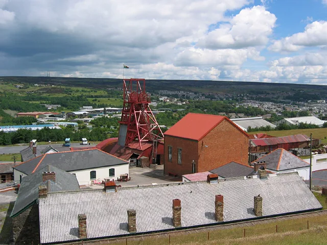
Big Pit National Coal Museum
Big Pit National Coal Museum — former coal mine and industrial heritage museum in Blaenavon in south-east Wales, United Kingdom.
 📷 5
📷 5Museums · South Wales
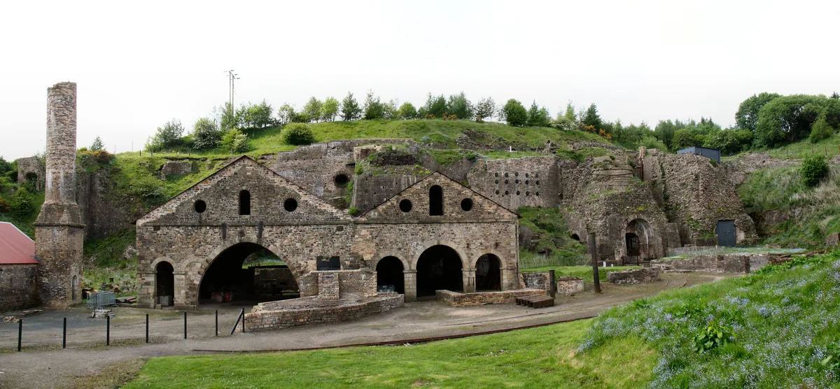
Blaenavon Ironworks
Blaenavon Ironworks — former ironworks transformed into a museum.
 📷 4
📷 4Museums · South Wales
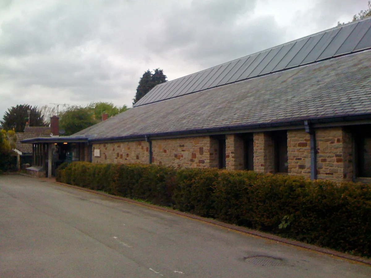
Caerleon Roman Fortress and Baths
Caerleon Roman Fortress and Baths — archaeological museum in Newport, Wales.
Frequently asked questions
- Where is Venta Silurum?
- Venta Silurum is in South Wales, United Kingdom (postcode NP26 5AY), in the parish of Caerwent.
- What is Venta Silurum?
- Venta Silurum was a town in Roman Britain (Britannia). The name Venta Silurum means "the town of the Silurēs", with the Silurēs being a powerful and warlike tribe. Today, it consists of remains in the
- How do I get to Venta Silurum?
- The nearest railway station is Caldicot, about 3.0 km away. Drivers can use postcode NP26 5AY.
- Is Venta Silurum a protected site?
- Yes — Venta Silurum is part of the Severn Estuary SSSI Site of Special Scientific Interest.
- How do I get to Venta Silurum?
- The nearest railway station is Caldicot, about 3.0 km away. Drivers can navigate to postcode NP26 5AY.