Natural landmarks · Scottish Islands
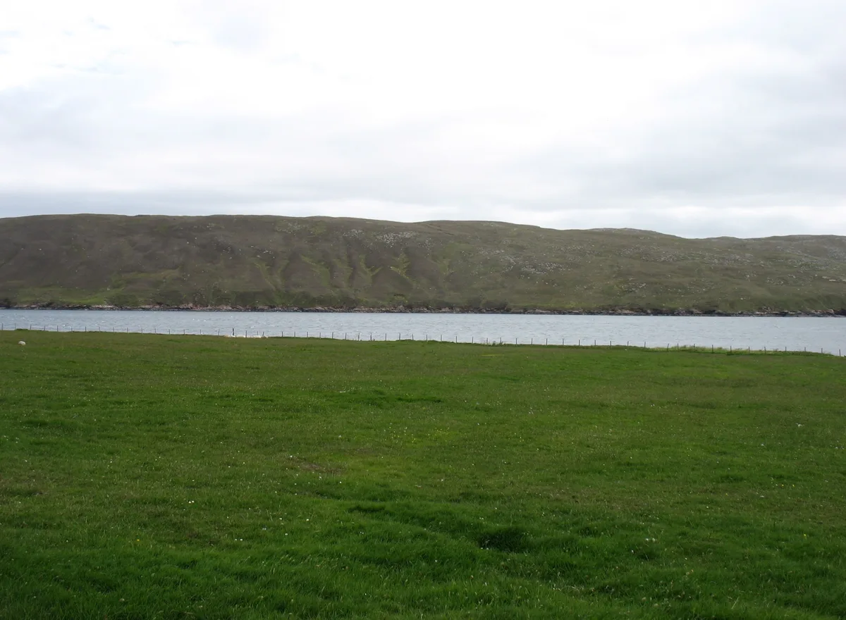
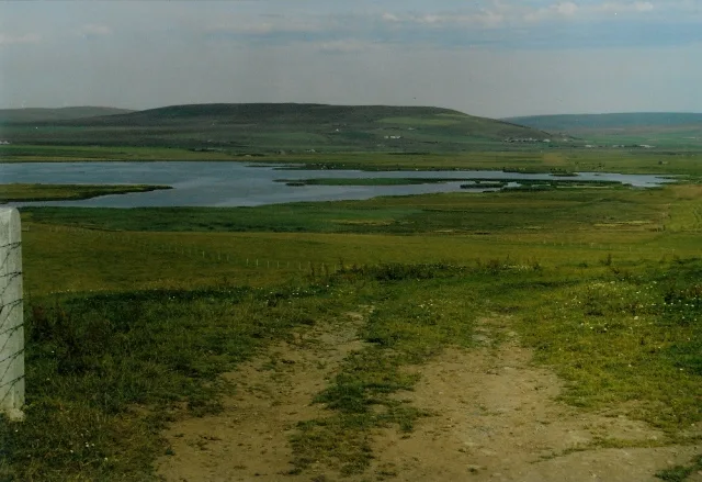
Ura Firth
Ura Firth — a natural feature in scotland islands.

Andy Waddington — CC BY-SA 2.0 via Wikimedia Commons licence
Plan your visit
- Typical visit
- 1 h–2 h
About
Ura Firth is a named natural feature in scotland islands, recorded in the GeoNames UK gazetteer. British landmarks of this type are typically marked on Ordnance Survey maps and recorded in the national gazetteer for cartographic and navigational reference. Coordinates and feature classification are sourced from the GeoNames open dataset.
Photo gallery
Place summary
Ura Firth is a natural landmark located in the Scottish Islands. It is characterised by its rugged coastline and scenic views, typical of the region's dramatic landscapes. Visitors can expect to encounter diverse wildlife and unique geological features, making it a notable spot for nature enthusiasts. The area offers opportunities for exploration and appreciation of the natural environment.
AI-generated from the structured facts on this page (operator, designation, listing, era). Not a substitute for visiting.
- Coordinates
- 60.4667, -1.4667
Sources
- manual: geonames-2635075 (CC BY 4.0)
Other places nearby
Loading nearby places…
Nearby
Mountains & hills · Scottish Islands
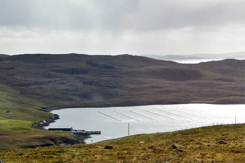
Ura Firth
Ura Firth — bay on North Mainland, Shetland Islands, Scotland, UK.
 📷 3
📷 3Mountains & hills · Scottish Islands
Hamar Voe
Hamar Voe — bay on North Mainland, Shetland Islands, Scotland, UK.
 📷 5
📷 5Mountains & hills · Scottish Islands
Stugger Hill
Stugger Hill — mountain in scotland islands. Elevation: 90 m.
 📷 5
📷 5Historic pubs · South East England
The Booth, Hillswick House, Hillswick
The Booth, Hillswick House, Hillswick in England South East, United Kingdom.
 📷 5
📷 5Historic churches · Scottish Islands
Northmavine Parish Church and Churchyard, Hillswick
Northmavine Parish Church and Churchyard, Hillswick — category B listed building-listed church in scotland-islands, United Kingdom.
 📷 4
📷 4Museums · Scottish Islands
Hillswick
Hillswick in Orkney + Shetland, United Kingdom.
Where to eat & stay near Ura Firth
Places to stay
 📷 5
📷 5Caravan parks · Scottish Islands
Braewick Caravan Park
Braewick Caravan Park — a caravan park in scotland islands.
 📷 5
📷 5Hostels · Scottish Islands
The Sail Loft
The Sail Loft — a hostel in scotland islands.
 📷 5
📷 5Campsites · Scottish Islands
Burravoe Pier Trust Campsite
Burravoe Pier Trust Campsite — a campsite in scotland islands.

More natural landmarks in this region
 📷 5
📷 5Natural landmarks · Scottish Islands
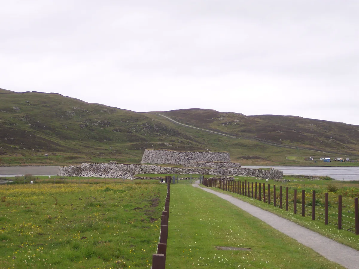
Clickimin Loch
Clickimin Loch — freshwater lake at Lerwick, Shetland Mainland, Shetland Islands, Scotland, UK.
 📷 3
📷 3Natural landmarks · Scottish Islands
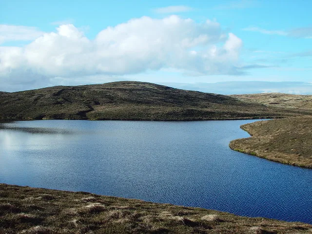
Lairo Water
Lairo Water — lake on Shapinsay, Orkney Islands, Scotland, UK.
 📷 3
📷 3Natural landmarks · Scottish Islands
Little Water
Little Water — freshwater lake on Whalsay, Shetland Islands, Scotland, UK.
 📷 3
📷 3Natural landmarks · Scottish Islands
Loch Isbister
Loch Isbister — lake in Shetland Islands, Scotland, UK.
Frequently asked questions
- Where is Ura Firth?
- Ura Firth is in the Scottish Islands, United Kingdom.
- What is Ura Firth?
- Ura Firth — a natural feature in scotland islands.
- How do I get to Ura Firth?
- Its coordinates are 60.4667°, -1.4667°.