Towns & cities · South East England
Upstreet
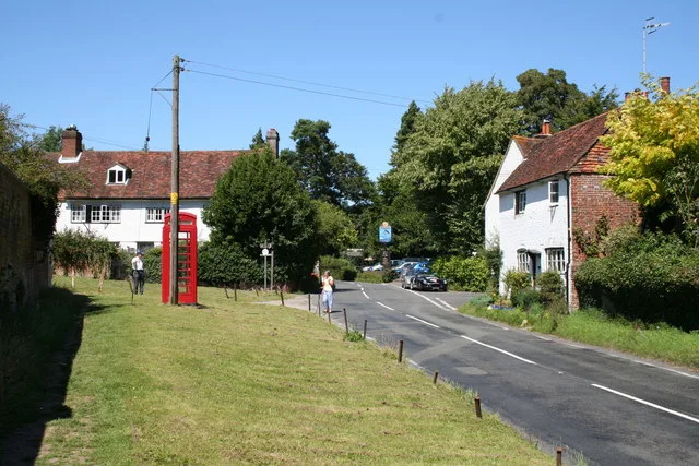
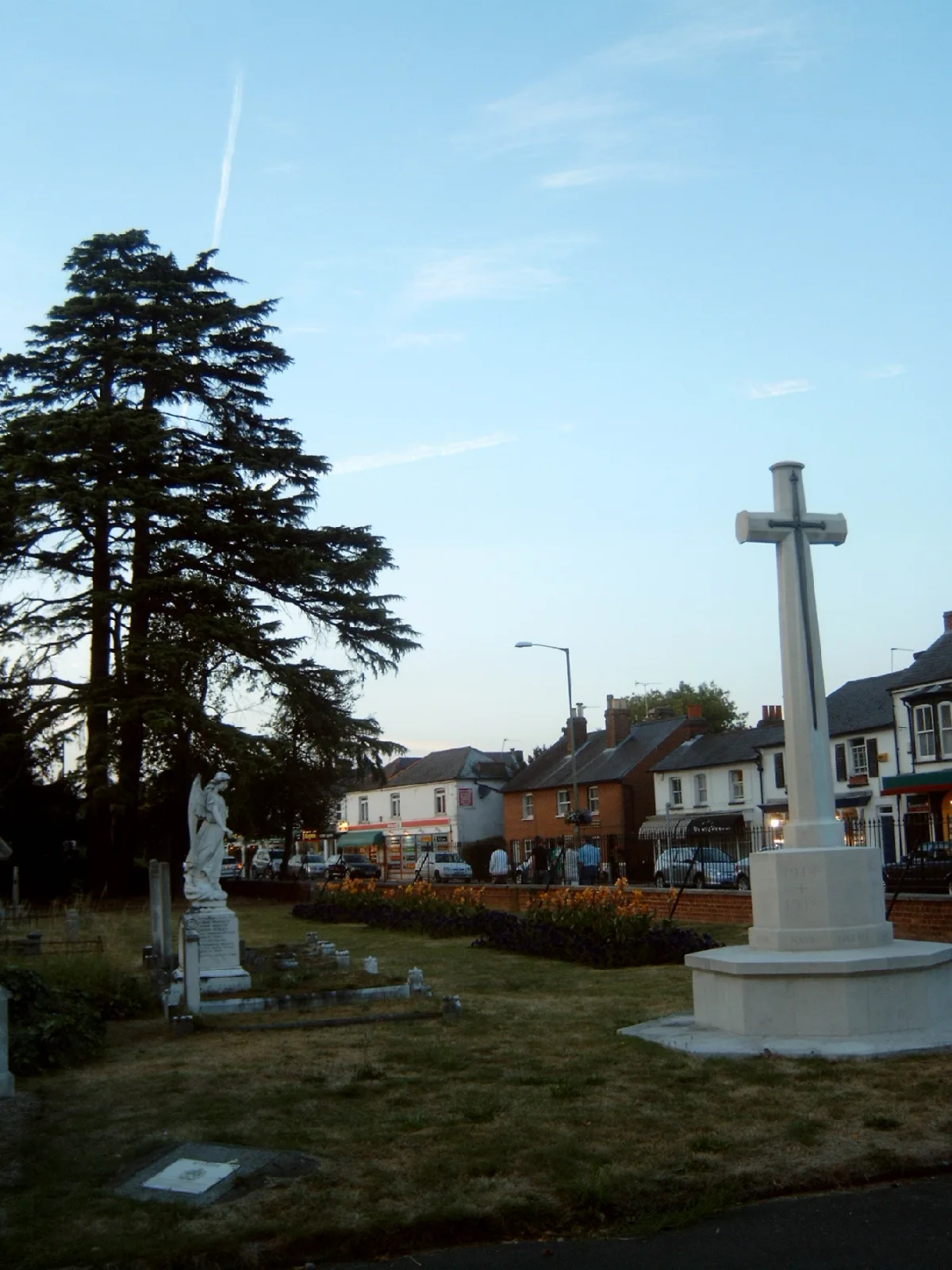
Upstreet — village in Kent, United Kingdom.

Wikimedia Commons contributors — see linked file page for photographer and licence licence
Plan your visit
- Typical visit
- 3 h–6 h
- Nearest railway station
- Sturry · 5.9 km
- Free entry
- Family-friendly
- Dog-friendly
Getting there & planning your visit
To visit Upstreet, you can take a train to Sturry station, which is approximately 5.9 km away. The postcode for Upstreet is CT3 4BX. Entry to the town is free.
About
Upstreet is a town, city, village or settlement in the United Kingdom. Wikidata describes it as: "village in Kent, United Kingdom". Coordinates: 51.3242°, 1.1978°.
Photo gallery
360° viewimagery from 2021
Imagery © Mapillary contributors, CC BY-SA 4.0
Protected designations
- Area of Outstanding Natural Beauty: Kent Downs
Designations sourced from Natural England open data under OGL v3.
From the Wikipedia article
Upstreet is a village in the civil parish of Chislet in Kent, England. It is in the local government district of Canterbury, and the electoral ward of Marshside. It is about 62 miles away from London. Upstreet is a ribbon development along the A28 road. The majority of houses are new and dating from the 1950s onwards. However, there are a number of older houses such as the Grade II listed building 'Grove Court' or the Grade I listed 'Upstreet Farmhouse', which was built in the 16th century and stands in an acre of its own land. It had notable different purposes over the years and is known to be haunted. Also listed are 'Hamilton's' and 'The Vision House' (No89 and No94). Upstreet was mentioned in the 1830s Swing Riots, when a widespread uprising by agricultural workers in southern and eastern England occurred, in protest at agricultural mechanisation and harsh working conditions. Several fires were carried at different farms as part of the protests. Close to Upstreet is the Stodmarsh National Nature Reserve and the River Stour at Grove Ferry.. Also the Saxon Shore Way (long-distance footpath) also passes the village between Chislet and Stourmouth. Upstreet has a few services (a shop, two elderly care homes, one pub and one car sales lot), the garage having closed through 2015. The number of services is declining due to rising car ownership. For example, 45 years ago there was a railway station, haberdashery, greengrocer's, butcher's, baker's etc. However now there is no railway station and the shop consolidates the uses of a post office, greengrocer's, haberdashery, baker's, butcher's, etc. all under one roof. The main public transport in Upstreet is the buses, with the central bus stop being the Post Office Bus Stop, offering routes to Canterbury as frequently as every 15 minutes. The pub is worked at by many of the locals, including a few teenagers from the village, most notably waitress Moon, and is owned by another of the locals. There is a karaoke machine and…
Excerpt from Wikipedia under CC BY-SA 4.0. See the source article linked in Sources below.
- Coordinates
- 51.3242, 1.1978
- County
- Kent
- District
- Canterbury
- Parish
- Chislet
- Postcode
- CT3 4BX
- Parliamentary constituency
- Herne Bay and Sandwich
- Nearest railway station
- Sturry — 5.9 km
Sources
- wikidata: Q590895 (CC0)
- wikipedia: Upstreet (CC BY-SA 4.0)
- commons: Upstreet Post Office - geograph.org.uk - 327880.jpg (CC BY-SA 4.0)
Other places nearby

Puddledock Woods
Campsites · 0.5 km
Nethergong Camping
Campsites · 0.6 km

Viewing Mound
Viewpoints · 0.7 km

Grove Ferry Picnic Area
Parks · 0.8 km

Grove Ferry
Villages · 0.9 km

Chislet
Villages · 1.3 km

Stodmarsh National Nature Reserve
Forests & woodlands · 1.3 km

Blood Point
Forts · 2.3 km

Marleybrook Wedding Venue
Natural landmarks · 2.3 km
Marleybrook House Wedding Venue
Historic houses · 2.4 km

Boyden Gate
Towns & cities · 2.5 km

West Stourmouth
Villages · 2.6 km
Upstreet is a village located in Kent, South East England. Our guide lists nearby attractions within reach.
At a glance
- Administrative county
- Kent
- Constituency
- Herne Bay and Sandwich
- Top categories near here
Things to see in Upstreet
10 attractions within 12 km. Full guide: things to do in Upstreet →
 📷 5
📷 5Historic churches · South East England
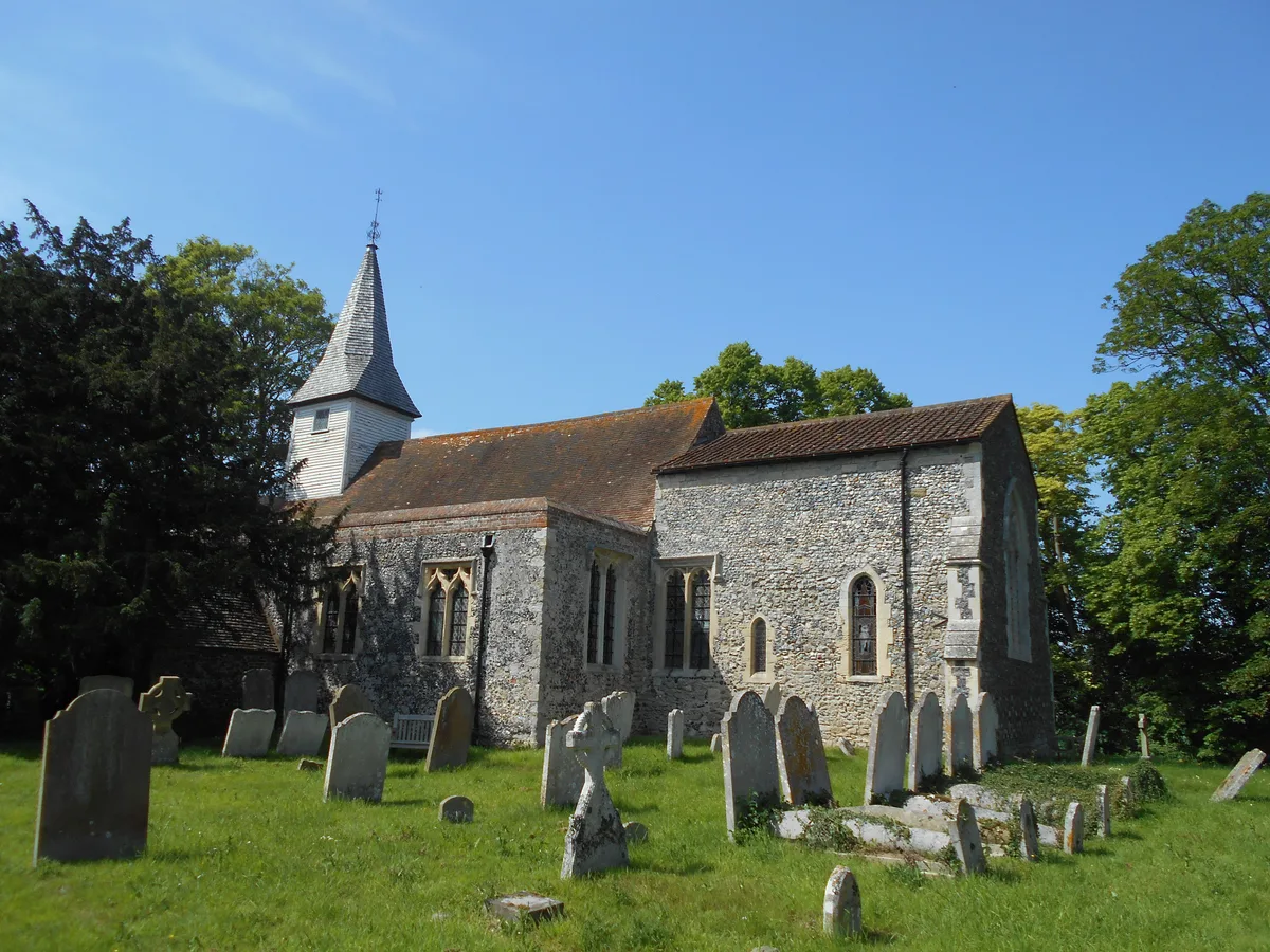
All Saints Church, West Stourmouth
All Saints Church, West Stourmouth — church in West Stourmouth, Kent, England, UK.
📷 5 📷 5
📷 5Historic churches · South East England
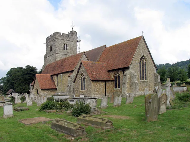
Church of St Mary
Church of St Mary — church in Stodmarsh, Kent, England, UK.
📷 5Parks · South East England
Grove Ferry Picnic Area
Grove Ferry Picnic Area — park in Kent, England, UK.
📷 5Forests & woodlands · South East England
Stodmarsh National Nature Reserve
Stodmarsh National Nature Reserve is a forest or woodland in the United Kingdom.
📷 5Viewpoints · South East England
Viewing Mound
Viewing Mound is a viewpoint in the United Kingdom.
📷 5Campsites · South East England
Nethergong Camping
Nethergong Camping — a campsite in england south east.
📷 5📷 5📷 5Nearby
📷 5📷 5Campsites · South East England
Nethergong Camping
Nethergong Camping — a campsite in england south east.
📷 5Viewpoints · South East England
Viewing Mound
Viewing Mound is a viewpoint in the United Kingdom.
📷 5Parks · South East England
Grove Ferry Picnic Area
Grove Ferry Picnic Area — park in Kent, England, UK.
📷 5📷 5Where to eat & stay near Upstreet
Places to stay
📷 5📷 5Campsites · South East England
Nethergong Camping
Nethergong Camping — a campsite in england south east.
 📷 5
📷 5Caravan parks · South East England
South View Caravan Park
South View Caravan Park — a caravan park in england south east.
 📷 5
📷 5 📷 5
📷 5Campsites · South East England
St Nicholas Camping Site
St Nicholas Camping Site — a campsite in england south east.
Places to eat & drink
 📷 7
📷 7Cafés · South East England
Chapters
Chapters — a café in england south east.
 📷 5
📷 5 📷 6
📷 6 📷 5
📷 5Historic pubs · South East England
The Haywain Public House
The Haywain Public House in England South East, United Kingdom.
 📷 5
📷 5 📷 5
📷 5More towns in this region
 Flagship📷 10
Towns & cities · South East England
Betchworth
Betchworth — village and civil parish in the Mole Valley district of Surrey, England.
 Flagship📷 10
Towns & cities · South East England
Boxley
Boxley — village and civil parish in Maidstone District, Kent, England, UK.
 Flagship📷 10
Towns & cities · South East England
Effingham
Effingham — village and civil parish in Guildford borough, Surrey, England, UK.
 Flagship📷 10
Towns & cities · South East England
Englefield Green
Englefield Green — village in the borough of Runnymede, Surrey, UK.
Frequently asked questions
- Where is Upstreet?
- Upstreet is in Kent, South-East England, United Kingdom (postcode CT3 4BX), in the parish of Chislet.
- What is Upstreet?
- Upstreet — village in Kent, United Kingdom.
- How do I get to Upstreet?
- The nearest railway station is Sturry, about 5.9 km away. Drivers can use postcode CT3 4BX.
- Is Upstreet a protected site?
- Yes — Upstreet is part of the Kent Downs National Landscape (AONB).
- Is Upstreet free to visit?
- Yes, Upstreet is free to enter.
- How do I get to Upstreet?
- The nearest railway station is Sturry, about 5.9 km away. Drivers can navigate to postcode CT3 4BX.