
Natural landmarks · Northern Ireland
Ulster
Also known as: Cúige Uladh, Còigeamh Uladh, Queiggey Ulley
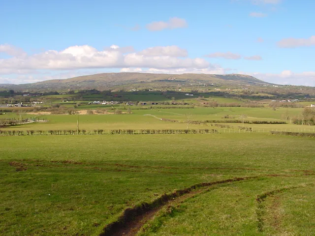
In or near Desertmartin.
Ulster in Northern Ireland, United Kingdom.

Kenneth Allen — CC BY-SA 2.0 via Wikimedia Commons licence

Plan your visit
- Typical visit
- 1 h–2 h
- Free entry
- Dog-friendly
About
Ulster is a place of interest in Northern Ireland, United Kingdom — drawn from open-data sources for visitor reference. See the linked Wikipedia article for the full description.
Photo gallery
Official information
Ulster is a region in Northern Ireland known for its rich political history and cultural diversity. Visitors can explore various aspects of its governance and the impact of its political parties, including Sinn Féin and the Democratic Unionist Party, which play significant roles in the local assembly.
From the Wikipedia article
Ulster (; Irish: Ulaidh [ˈʊlˠiː, ˈʊlˠə] or Cúige Uladh [ˌkuːɟə ˈʊlˠə, - ˈʊlˠuː]; Ulster Scots: Ulstèr or Ulster) is one of the four historical provinces of Ireland, located in the northern part of the island. It is made up of nine counties, with six of these comprising Northern Ireland (a part of the United Kingdom), while the remaining three are in the Republic of Ireland. It is the second-largest (after Munster) and second-most populous (after Leinster) of Ireland's four traditional provinces, with Belfast being its biggest city. Unlike the other provinces, Ulster has a high percentage of Protestants, making up almost half of its population. English is the main language and Ulster English the main dialect. A minority also speak Irish, and there are Gaeltachtaí (Irish-speaking regions) in County Donegal which is home to a quarter of the total Gaeltacht population of the Republic of Ireland. There are also large Irish-speaking networks in southern County Londonderry and in the Gaeltacht Quarter, Belfast. Ulster-Scots is also spoken extensively in the counties Antrim, Down, Londonderry, Tyrone and Donegal. Lough Neagh, in the east, is the largest lake in the British Isles, while Lough Erne in the west is one of its largest lake networks. The main mountain ranges are the Mournes, Sperrins, Blue Stack (Croaghgorms) and Derryveagh Mountains. Historically, Ulster lay at the heart of the Gaelic world made up of Gaelic Ireland, Scotland and the Isle of Man. According to tradition, in ancient Ireland it was one of the fifths (Irish: cúige) ruled by a rí ruirech, or 'king of over-kings'. It is named after the overkingdom of Ulaid, in the east of the province, which was in turn named after the Ulaid folk. The other overkingdoms in Ulster were Airgíalla and Ailech. After the Norman invasion of Ireland in the twelfth century, eastern Ulster was conquered by the Anglo-Normans and became the Earldom of Ulster. By the late fourteenth century the Earldom had collapsed and the…
Excerpt from Wikipedia under CC BY-SA 4.0. See the source article linked in Sources below.
Background
History
Ulster is one of the four Irish provinces. Its name derives from the Irish language (), meaning 'fifth of the Ulaidh', named for the ancient inhabitants of the region. The province's early story extends further back than written records and survives mainly in legends such as the Ulster Cycle. The archaeology of Ulster, formerly called Ulandia, gives examples of "ritual enclosures", such as the Giant's Ring near Belfast, which is an earth bank about 590 feet (180 m) in diameter and 15 feet (4.5 m) high, in the centre of which there is a dolmen. The Boyne and its tributary the Blackwater were the traditional southern boundary of the province of Ulster and appear as such in the . According to…
Sourced from Wikipedia under CC BY-SA 4.0.
- Coordinates
- 54.7407, -6.7446
- Official site
- www.bbc.co.uk
Sources
Other places nearby

Slieve Gallion
Mountains & hills · 0.9 km

Slieve Gallion NE Top
Mountains & hills · 0.9 km
Slieve Gallion NE Top
Mountains & hills · 0.9 km
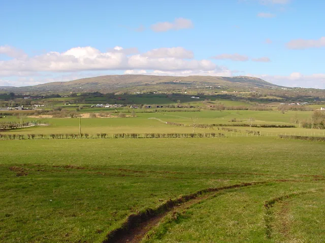
Slieve Gallion
Mountains & hills · 1.5 km
Slieve Gallion
Natural landmarks · 1.6 km

Mid Ulster
Natural landmarks · 1.9 km

Keenaght
Natural landmarks · 2.8 km

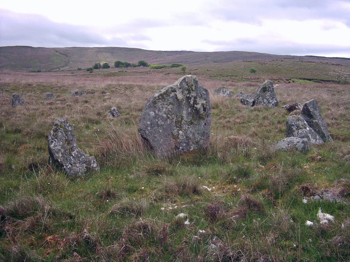
Neolithic Ritural Complex
Memorials & monuments · 3.0 km
Corick
Hill forts · 3.1 km

Tintagh
Vineyards · 3.6 km

Brackaghlislea
Natural landmarks · 3.6 km

Desertmartin GAC
Natural landmarks · 4.1 km
Nearby
📷 5Mountains & hills · Northern Ireland
Slieve Gallion
Slieve Gallion — a hill or mountain in northern ireland.
📷 5Mountains & hills · Northern Ireland
Slieve Gallion NE Top
Slieve Gallion NE Top — mountain in northern ireland. Elevation: 493.6 m.
📷 5Mountains & hills · Northern Ireland
Slieve Gallion NE Top
Slieve Gallion NE Top — a hill or mountain in northern ireland.
📷 3📷 3Natural landmarks · Northern Ireland
Slieve Gallion
Slieve Gallion — mountain in Northern Ireland.
📷 3Where to eat & stay near Ulster
Places to stay

 📷 5📷 5
 📷 3
📷 3Places to eat & drink
 📷 7
📷 7Historic pubs · Northern Ireland
1-3 High Street, Moneymore
1-3 High Street, Moneymore in Northern Ireland, United Kingdom.
More natural landmarks in this region
 Flagship📷 4
Natural landmarks · Northern Ireland
Lough Erne
Lough Erne — lake in County Fermanagh, Northern Ireland, UK.
 Flagship📷 4
Natural landmarks · Northern Ireland
Lough Neagh
Lough Neagh — large lake in Northern Ireland.
 📷 3
📷 3Natural landmarks · Northern Ireland
Ballysaggart Lough
Ballysaggart Lough — lake in the United Kingdom.
 📷 5
📷 5Natural landmarks · Northern Ireland
Belmore Mountain
Belmore Mountain — mountain in the United Kingdom.
Frequently asked questions
- Where is Ulster?
- Ulster is in Northern Ireland, United Kingdom.
- What is Ulster?
- Ulster in Northern Ireland, United Kingdom.
- How do I get to Ulster?
- Its coordinates are 54.7407°, -6.7446°.
- Is Ulster free to visit?
- Yes, Ulster is free to enter.