Natural landmarks · Scottish Highlands
Uig Bay
Uig Bay — a natural feature in scotland highlands.

M J Richardson — CC BY-SA 2.0 via Wikimedia Commons licence
Plan your visit
- Typical visit
- 1 h–2 h
About
Uig Bay is a named natural feature in scotland highlands, recorded in the GeoNames UK gazetteer. British landmarks of this type are typically marked on Ordnance Survey maps and recorded in the national gazetteer for cartographic and navigational reference. Coordinates and feature classification are sourced from the GeoNames open dataset.
Photo gallery
Place summary
Uig Bay is a natural landmark located in the Scottish Highlands. It is characterised by its scenic coastline and surrounding landscapes. The bay serves as a gateway for ferries to the Outer Hebrides, making it a key point of access in the region. Visitors can expect striking views and opportunities for coastal walks.
AI-generated from the structured facts on this page (operator, designation, listing, era). Not a substitute for visiting.
- Coordinates
- 57.5833, -6.3667
Sources
- manual: geonames-2635215 (CC BY 4.0)
Other places nearby
Loading nearby places…
Nearby
 📷 3
📷 3Natural landmarks · Scottish Highlands
SkyeXplorer
SkyeXplorer — a other in scotland-highlands, United Kingdom.
 📷 5
📷 5Follies · Scottish Highlands
Uig Tower
Uig Tower — Folly or eyecatcher, 1860.
 📷 5
📷 5Towns & cities · Scottish Highlands
Uig
Uig — village on Trotternish, Skye, Highland, Scotland, UK.
 📷 5
📷 5Hotels · Scottish Highlands
Uig Hotel
Uig Hotel — a hotel in scotland highlands.
 📷 3
📷 3Harbours & ports · Scottish Highlands
Uig harbour
Uig harbour — harbor in Highland, Scotland, UK.
 📷 5
📷 5Historic churches · Scottish Highlands
Free Church, Uig, Skye
Free Church, Uig, Skye — category C listed building-listed church in scotland-highlands, United Kingdom.
Where to eat & stay near Uig Bay
Places to stay
📷 5Hotels · Scottish Highlands
Uig Hotel
Uig Hotel — a hotel in scotland highlands.
 📷 5
📷 5Campsites · Scottish Highlands
Uig Bay Campsite
Uig Bay Campsite — a campsite in scotland highlands.
 📷 5
📷 5Campsites · Scottish Highlands
Camus More Camping
Camus More Camping — a campsite in scotland highlands.
 📷 5
📷 5Hotels · Scottish Highlands
Greshornish House
Greshornish House — a hotel in scotland highlands.
 📷 5
📷 5Campsites · Scottish Highlands
Staffin Campsite
Staffin Campsite — a campsite in scotland highlands.
 📷 5
📷 5Caravan parks · Scottish Highlands
Sky Camping CC
Sky Camping CC — a caravan park in scotland highlands.
More natural landmarks in this region
 Flagship📷 3
Natural landmarks · Scottish Highlands
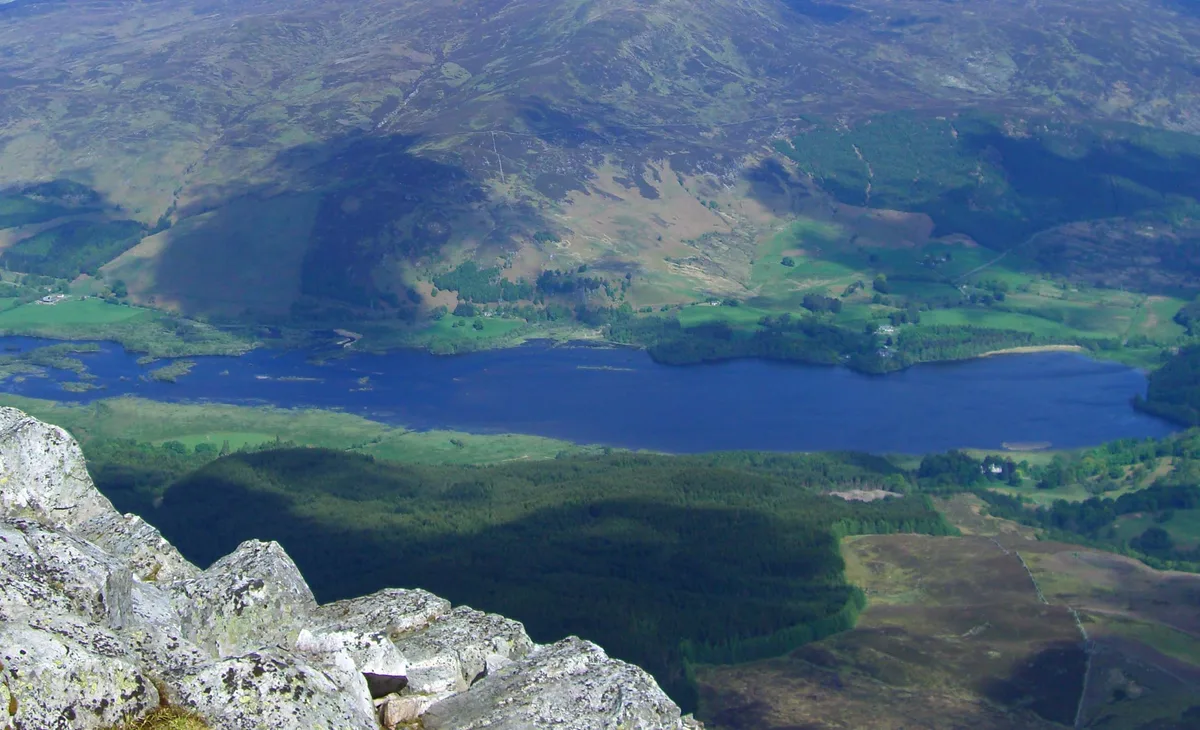
Dunalastair Water
Dunalastair Water — lake in Perth and Kinross, Scotland, UK, on the River Tummel.
 Flagship📷 3
Natural landmarks · Scottish Highlands
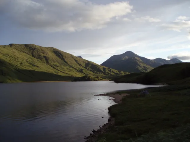
Loch Arkaig
Loch Arkaig — lake in Highland, Scotland, UK, outflows east to River Arkaig.
 Flagship📷 3
Natural landmarks · Scottish Highlands
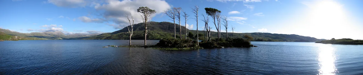
Loch Assynt
Loch Assynt — lake in Highland, Scotland, UK, outflows to the River Inver and Loch na Garbh Uidhe.
 Flagship📷 3
Natural landmarks · Scottish Highlands
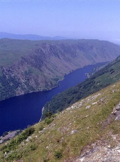
Loch Awe
Loch Awe — lake in Argyll and Bute, Scotland, UK, outflows to the River Awe.
Frequently asked questions
- Where is Uig Bay?
- Uig Bay is in the Scottish Highlands, United Kingdom.
- What is Uig Bay?
- Uig Bay — a natural feature in scotland highlands.
- How do I get to Uig Bay?
- Its coordinates are 57.5833°, -6.3667°.