
Archaeological sites · West Midlands
Uffmoor Wood
In or near Hagley.
Uffmoor Wood — woodland in Worcestershire.

Wikimedia Commons contributors — see linked file page for photographer and licence licence

Plan your visit
- Typical visit
- 45 min–1.5 h
- Nearest railway station
- Lye · 4.6 km
- Free entry
- Dog-friendly
Getting there & planning your visit
To visit Uffmoor Wood, the nearest railway station is Lye, located 4.6 km away. The postcode for sat-nav is B62 0NW. Entry to the site is free.
About
Uffmoor Wood is an archaeological site in the United Kingdom. Wikidata describes it as: "woodland in Worcestershire". Coordinates: 52.4279°, -2.0720°.
Photo gallery
From the Wikipedia article
Uffmoor Wood is a semi-natural woodland in Worcestershire, in the English Midlands. It was acqired by the Woodland Trust from brushmaker, L G Harris & Co in 1985/86. The wood has an area of 84.84 hectares (209.6 acres), and grid reference SO952811. It sits off the A456 road at the foot of the Clent Hills about 3 km southwest of Halesowen. In May 2017 the Trust temporarily suspended public access to the wood because of misbehaviour including dirt bike scrambling, drug peddling and public sexual acts.
Excerpt from Wikipedia under CC BY-SA 4.0. See the source article linked in Sources below.
- Coordinates
- 52.4279, -2.0720
- County
- Worcestershire
- District
- Bromsgrove
- Parish
- Romsley
- Postcode
- B62 0NW
- Parliamentary constituency
- Bromsgrove
- Nearest railway station
- Lye — 4.6 km
Sources
- wikidata: Q7877525 (CC0)
- wikipedia: Uffmoor Wood (CC BY-SA 4.0)
- commons: Uffmoor Wood sign - geograph.org.uk - 1543871.jpg (CC BY-SA 4.0)
Other places nearby

Church of St Kenelm
Historic churches · 0.8 km

Romsley
Villages · 1.4 km

The Four Stones
Mountains & hills · 1.6 km
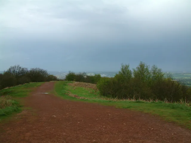
Walton Hill
Mountains & hills · 1.7 km

Clent Hills Camping and Caravanning Club Site
Campsites · 1.9 km

Four Stones
Memorials & monuments · 2.0 km

Clent Hill - The Four Stones
Mountains & hills · 2.0 km

Hasbury
Villages · 2.0 km

Bromsgrove Road Car Boot Market (Sundays)
Farmers’ markets · 2.3 km

Castle in Hagley Park
Castles · 2.3 km

Rotunda
Follies · 2.4 km

Wassel Grove Car Boot Market (Saturdays/ Bank Holidays)
Farmers’ markets · 2.5 km
Nearby
📷 3Historic churches · West Midlands
Church of St Kenelm
Church of St Kenelm — Grade I listed building-listed church in england-west-midlands, United Kingdom.
📷 5📷 5Mountains & hills · West Midlands
The Four Stones
The Four Stones — a hill or mountain in england west midlands.
📷 3📷 4Campsites · West Midlands
Clent Hills Camping and Caravanning Club Site
Clent Hills Camping and Caravanning Club Site — a campsite in england west midlands.
📷 3Memorials & monuments · West Midlands
Four Stones
Four Stones is a memorial in the United Kingdom.
Where to eat & stay near Uffmoor Wood
Places to stay
📷 4Campsites · West Midlands
Clent Hills Camping and Caravanning Club Site
Clent Hills Camping and Caravanning Club Site — a campsite in england west midlands.
 📷 5
📷 5Hotels · West Midlands
The Talbot Hotel
The Talbot Hotel — a hotel in england west midlands.
 📷 5
📷 5Hotels · West Midlands
Redwings Lodge Hotel
Redwings Lodge Hotel — a hotel in england west midlands.
 📷 7
📷 7Hotels · West Midlands
Holiday Inn Express
Holiday Inn Express — a hotel in england west midlands. 3-star. Brand: Holiday Inn Express.
 📷 7
📷 7Hotels · West Midlands
The Belmont Hotel
The Belmont Hotel — a hotel in england west midlands.
📷 7Hotels · West Midlands
Hagley Hotel
Hagley Hotel — a hotel in england west midlands.
Places to eat & drink
 📷 5
📷 5Historic pubs · West Midlands
George Inn Public House
George Inn Public House in England West Midlands, United Kingdom.
 📷 5
📷 5 📷 3
📷 3Historic pubs · West Midlands
The Garibaldi Inn
The Garibaldi Inn — Historic pub — listed building or notable heritage status.
 📷 5
📷 5Historic pubs · West Midlands
The Black Horse
The Black Horse — Historic pub — listed building or notable heritage status.
 📷 5
📷 5Historic pubs · West Midlands
The Old Swan Public House And Brewhouse At Rear
The Old Swan Public House And Brewhouse At Rear in England West Midlands, United Kingdom.
 📷 3
📷 3Historic pubs · West Midlands
The Wernley
The Wernley — Historic pub — listed building or notable heritage status.
More archaeological sites in this region
 📷 3
📷 3Archaeological sites · West Midlands
Oakedge Hall
Oakedge Hall — a archaeological in england-east-midlands, United Kingdom.
.jpg?width=1200) 📷 3
📷 3Archaeological sites · West Midlands
Hales Roman Villa
Hales Roman Villa — archaeological site in Loggerheads, Newcastle-under-Lyme, England, UK.
 📷 3
📷 3Archaeological sites · West Midlands
Heart of England Forest
Heart of England Forest — UK non-governmental organization.
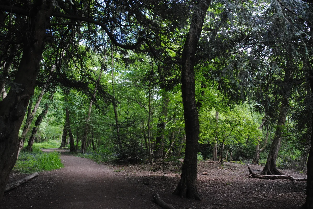 📷 3
📷 3Archaeological sites · West Midlands
Holly Wood
Holly Wood — woodland nature reserve in Sandwell, England.
Frequently asked questions
- Where is Uffmoor Wood?
- Uffmoor Wood is in Worcestershire, the West Midlands, United Kingdom (postcode B62 0NW), in the parish of Romsley.
- What is Uffmoor Wood?
- Uffmoor Wood — woodland in Worcestershire.
- How do I get to Uffmoor Wood?
- The nearest railway station is Lye, about 4.6 km away. The nearest town is Hagley. Drivers can use postcode B62 0NW.
- Who owns Uffmoor Wood?
- Uffmoor Wood is owned by Woodland Trust.
- Is Uffmoor Wood free to visit?
- Yes, Uffmoor Wood is free to enter.
- How do I get to Uffmoor Wood?
- The nearest railway station is Lye, about 4.6 km away. Drivers can navigate to postcode B62 0NW.