
Natural landmarks · Mid Wales
Twyn Llech
In or near Cusop.
Twyn Llech — mountain (703.6m) on the Welsh-English border in the UK.

Wikimedia Commons contributors — see linked file page for photographer and licence licence

Plan your visit
- Typical visit
- 1 h–2 h
- Free entry
- Dog-friendly
About
Twyn Llech is a named natural landmark in the United Kingdom. Constructed primarily of sandstone. Wikidata describes it as: "mountain (703.6m) on the Welsh-English border in the UK". Coordinates: 52.0083°, -3.0847°.
Photo gallery
Protected designations
- Site of Special Scientific Interest: Black Mountains SSSI
- Site of Special Scientific Interest: River Wye SSSI
Designations sourced from Natural England open data under OGL v3.
From the Wikipedia article
The Black Mountain (Welsh: Twyn Llech 'hill of the stone') is a hill in the Black Mountains. It is the only Marilyn to fall exactly on the Welsh–English border, and it straddles Powys (Wales) and Herefordshire (England). Its parent peak, Waun Fach, lies to the west.
Excerpt from Wikipedia under CC BY-SA 4.0. See the source article linked in Sources below.
Background
Visiting
The Black Mountain is the highest point on Hatterrall Ridge. Offa's Dyke Path passes along the ridge, more or less from south to north. A steeper path leads to the summit from near the former youth hostel in the Vale of Ewyas to the west. The summit is unmarked and, because of the very shallow gradients along the summit ridge, virtually impossible to determine in situ. Open access to all the moorland here means that deviation from the paths is allowed. The ground is peaty and normally very wet even in good weather, especially on the highest ground. It is the highest summit in England south of Great Whernside in the Yorkshire Dales, even though higher neighbours are very close by in Wales.…
Sourced from Wikipedia under CC BY-SA 4.0.
- Coordinates
- 52.0083, -3.0847
- Address
- Herefordshire, England / Powys (former Brecknockshire), Wales
Sources
- wikidata: Q3401505 (CC0)
- wikipedia: Black Mountain (hill) (CC BY-SA 4.0)
- commons: Black Mountain Top.jpg (CC BY-SA 4.0)
Other places nearby

Black Mountain
Mountains & hills · 0.4 km
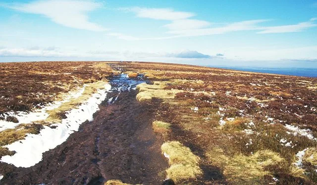
Twyn Llech
Mountains & hills · 0.4 km

Molly's Waterfall
Waterfalls · 1.6 km
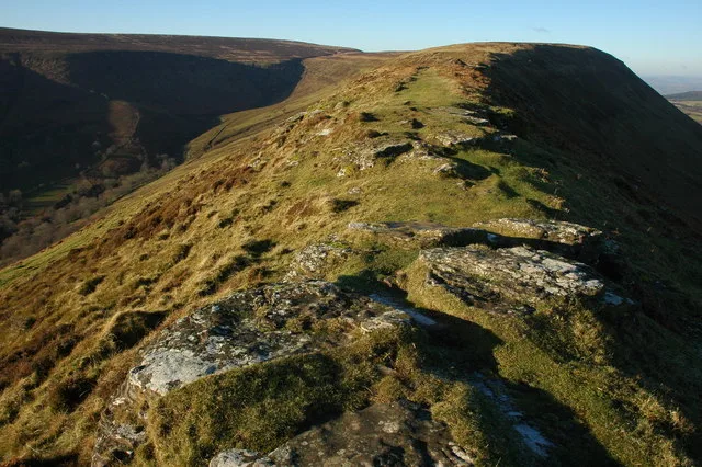
Black Hill
Mountains & hills · 1.8 km

River Monnow
Natural landmarks · 1.9 km
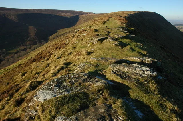
Black Hill
Natural landmarks · 1.9 km
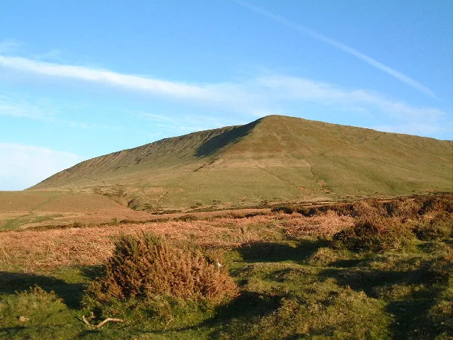
Hay Bluff
Mountains & hills · 2.0 km

Hay Bluff
Viewpoints · 2.1 km

Darren Lwyd
Mountains & hills · 2.1 km

Glynfach Castle Placename
Literary houses · 2.2 km

Capel-y-ffin
National parks · 2.7 km

Pen-y-Beacon Stone Circle
Stone circles · 2.9 km
Nearby
📷 5📷 3📷 5📷 3📷 5📷 3Natural landmarks · Mid Wales
Black Hill
Black Hill — mountain in Herefordshire, England, United Kingdom.
Where to eat & stay near Twyn Llech
Places to stay
 📷 5
📷 5Campsites · Mid Wales
Grange Pony Trekking
Grange Pony Trekking — a campsite in wales south.
 📷 4
📷 4Campsites · Mid Wales
Newcourt Farm Campsite
Newcourt Farm Campsite — a campsite in wales mid.
 📷 5
📷 5Campsites · Mid Wales
Hay Outdoor Training
Hay Outdoor Training — a campsite in wales mid.
 📷 5📷 5
Campsites · Mid Wales
Hay-On-Wye Caravan Park
Hay-On-Wye Caravan Park — a campsite in wales mid.
 📷 5
📷 5Places to eat & drink
 📷 4
📷 4 📷 5
📷 5Historic pubs · South Wales
Cornewall Arms
Cornewall Arms in Wales South, United Kingdom.
 📷 5
📷 5 📷 7
📷 7 📷 5
📷 5 📷 5
📷 5Historic pubs · South Wales
Skirrid Mountain Inn
Skirrid Mountain Inn — Historic pub — listed building or notable heritage status.
More natural landmarks in this region
 📷 3
📷 3 📷 3
📷 3 📷 3
📷 3Natural landmarks · Mid Wales
Llyn Gwernan
Llyn Gwernan is a natural landmark in the United Kingdom.
 📷 3
📷 3Frequently asked questions
- Where is Twyn Llech?
- Twyn Llech is in Mid Wales, United Kingdom.
- What is Twyn Llech?
- Twyn Llech — mountain (703.6m) on the Welsh-English border in the UK.
- How do I get to Twyn Llech?
- Its coordinates are 52.0083°, -3.0847°.
- Is Twyn Llech a protected site?
- Yes — Twyn Llech is part of the Black Mountains SSSI Site of Special Scientific Interest and the River Wye SSSI Site of Special Scientific Interest.
- Is Twyn Llech free to visit?
- Yes, Twyn Llech is free to enter.