
Windmills · Yorkshire & the Humber
Two standing stones to north and south of lane between Stones Grange Farm and Stones Farm at NGR SD92522359 and NGR 92252380
In or near Calderbrook.
Two standing stones to north and south of lane between Stones Grange Farm and Stones Farm at NGR SD92522359 and NGR 92252380 — a post mill in england-north-west, United Kingdom.

Catherine Chatham — CC BY-SA 2.0 via Wikimedia Commons licence

Plan your visit
- Typical visit
- 30 min–1 h
- Nearest railway station
- Todmorden · 1.1 km
- Free entry
- Family-friendly
- Dog-friendly
About
Two standing stones to north and south of lane between Stones Grange Farm and Stones Farm at NGR SD92522359 and NGR 92252380 is a post mill located in england-north-west, United Kingdom. Catalogued from Wikidata's UK heritage register; see the linked Wikipedia article for further details on its history, architecture and visiting information.
Photo gallery
Protected designations
- Site of Special Scientific Interest: South Pennine Moors SSSI
Designations sourced from Natural England open data under OGL v3.
Place summary
Two standing stones located to the north and south of the lane between Stones Grange Farm and Stones Farm in North-West England. These stones are significant archaeological features, marking the historical landscape of the region. Their exact origins and purpose remain subjects of interest for researchers and visitors alike.
AI-generated from the structured facts on this page (operator, designation, listing, era). Not a substitute for visiting.
- Coordinates
- 53.7087, -2.1148
- District
- Calderdale
- Parish
- Todmorden
- Postcode
- OL14 7AU
- Parliamentary constituency
- Calder Valley
- Nearest railway station
- Todmorden — 1.1 km
Sources
- wikidata: Q26524614 (CC0)
Other places nearby
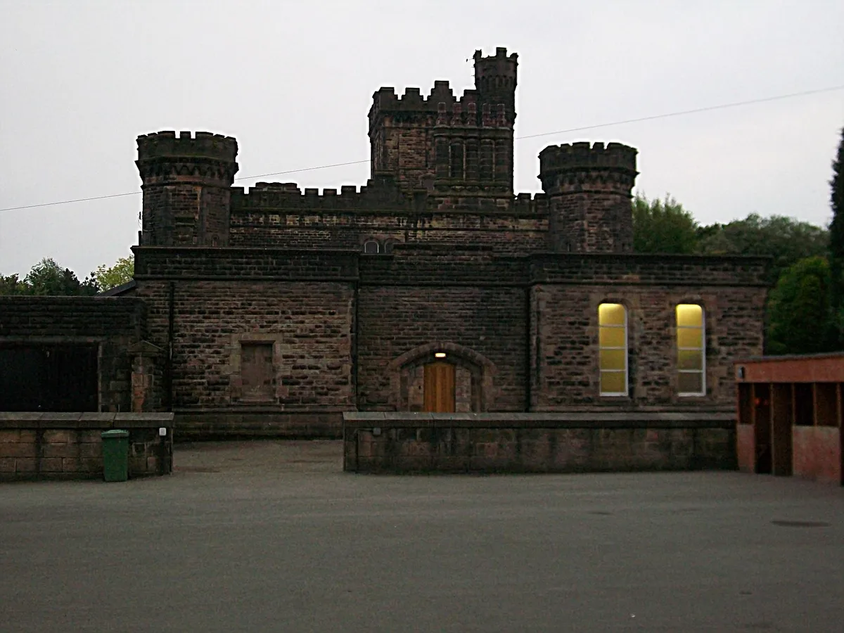
Dobroyd Castle
Castles · 0.5 km

John Fielden
Memorials & monuments · 0.9 km

Lydgate
Villages · 0.9 km

Kindness
Public art & sculpture · 1.0 km
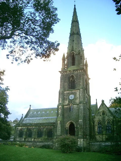
Todmorden Unitarian Church
Historic churches · 1.1 km

Todmorden Hall
Historic houses · 1.1 km

John Ramsbottom
Memorials & monuments · 1.2 km

Todmorden War Memorial
Public art & sculpture · 1.2 km

Fish sculpture
Heritage railway stations · 1.2 km

Fielden Wharf
Natural landmarks · 1.2 km
.jpg?width=1200)
Lucky Dog
Heritage railway stations · 1.2 km
The Lamp of Memory
Public art & sculpture · 1.2 km
Nearby
📷 5Castles · Yorkshire & the Humber
Dobroyd Castle
Dobroyd Castle — castle in Todmorden, West Yorkshire, England, UK.
📷 4Memorials & monuments · Yorkshire & the Humber
John Fielden
John Fielden — a memorial in england-north-west, United Kingdom.
📷 5📷 5Public art & sculpture · Yorkshire & the Humber
Kindness
Kindness — a public art in england-north-west, United Kingdom.
📷 4Historic churches · Yorkshire & the Humber
Todmorden Unitarian Church
Todmorden Unitarian Church — church in Todmorden, West Yorkshire, England, UK.
📷 3Historic houses · Yorkshire & the Humber
Todmorden Hall
Todmorden Hall — house in Todmorden, Calderdale, England, UK.
Where to eat & stay near Two standing stones to north and south of lane between Stones Grange Farm and Stones Farm at NGR SD92522359 and NGR 92252380
Places to stay
 📷 5
📷 5Hostels · Yorkshire & the Humber
Mankinholes Youth Hostel
Mankinholes Youth Hostel — a hostel in england north west.
 📷 5
📷 5Campsites · Yorkshire & the Humber
Height Gate Farm
Height Gate Farm — a campsite in england north west.
 📷 5
📷 5Campsites · Yorkshire & the Humber
Hebden Bridge Camping
Hebden Bridge Camping — a campsite in england north west.
 📷 5
📷 5Campsites · Yorkshire & the Humber
Hebden Hey Scout Centre
Hebden Hey Scout Centre — a campsite in england north west.
 📷 5
📷 5Hostels · Yorkshire & the Humber
Hebden Bridge Hostel
Hebden Bridge Hostel — a hostel in england north west.
 📷 5
📷 5Caravan parks · Yorkshire & the Humber
Hebden Bridge Caravan Club Site
Hebden Bridge Caravan Club Site — a caravan park in england yorkshire.
Places to eat & drink
 📷 3
📷 3Historic pubs · Yorkshire & the Humber
Queen's Hotel
Queen's Hotel — Historic pub — listed building or notable heritage status.
 📷 5
📷 5Historic pubs · Yorkshire & the Humber
Weavers Arms Public House
Weavers Arms Public House in England North West, United Kingdom.
 📷 5
📷 5 📷 7
📷 7Historic pubs · North West England
The Baum
The Baum in England North West, United Kingdom.
 📷 5
📷 5Historic pubs · Yorkshire & the Humber
Kershaw House
Kershaw House in England Yorkshire, United Kingdom.
.jpg?width=1200) 📷 3
📷 3Historic pubs · Yorkshire & the Humber
Old Bridge Inn
Old Bridge Inn — Historic pub — listed building or notable heritage status.
More windmills in this region
 📷 5
📷 5Windmills · Yorkshire & the Humber
The Murder Stone: a standing stone 150m north west of Cornfield Farm
The Murder Stone: a standing stone 150m north west of Cornfield Farm — a post mill in england-west-midlands, United Kingdom.
 📷 3
📷 3Windmills · Yorkshire & the Humber
Askham Richard Windmill
Askham Richard Windmill is a windmill in the United Kingdom.
 📷 3
📷 3Windmills · Yorkshire & the Humber
Bainton Windmill
Bainton Windmill is a windmill in the United Kingdom.
 📷 5
📷 5Windmills · Yorkshire & the Humber
Beacon Windmill
Beacon Windmill is a windmill in the United Kingdom.
Frequently asked questions
- Where is Two standing stones to north and south of lane between Stones Grange Farm and Stones Farm at NGR SD92522359 and NGR 92252380?
- Two standing stones to north and south of lane between Stones Grange Farm and Stones Farm at NGR SD92522359 and NGR 92252380 is in North-West England, United Kingdom (postcode OL14 7AU), in the parish of Todmorden.
- What is Two standing stones to north and south of lane between Stones Grange Farm and Stones Farm at NGR SD92522359 and NGR 92252380?
- Two standing stones to north and south of lane between Stones Grange Farm and Stones Farm at NGR SD92522359 and NGR 92252380 — a post mill in england-north-west, United Kingdom.
- How do I get to Two standing stones to north and south of lane between Stones Grange Farm and Stones Farm at NGR SD92522359 and NGR 92252380?
- The nearest railway station is Todmorden, about 1.1 km away. Drivers can use postcode OL14 7AU.
- Is Two standing stones to north and south of lane between Stones Grange Farm and Stones Farm at NGR SD92522359 and NGR 92252380 a protected site?
- Yes — Two standing stones to north and south of lane between Stones Grange Farm and Stones Farm at NGR SD92522359 and NGR 92252380 is part of the South Pennine Moors SSSI Site of Special Scientific Interest.
- Is Two standing stones to north and south of lane between Stones Grange Farm and Stones Farm at NGR SD92522359 and NGR 92252380 free to visit?
- Yes, Two standing stones to north and south of lane between Stones Grange Farm and Stones Farm at NGR SD92522359 and NGR 92252380 is free to enter.
- How do I get to Two standing stones to north and south of lane between Stones Grange Farm and Stones Farm at NGR SD92522359 and NGR 92252380?
- The nearest railway station is Todmorden, about 1.1 km away. Drivers can navigate to postcode OL14 7AU.