
Hill forts · North Wales
Tre'r Ceiri
In or near Llithfaen.
Tre'r Ceiri — large Iron Age hillfort.

Wikimedia Commons contributors — see linked file page for photographer and licence licence
_200-400_BC_Celtic_Hillfort_06.jpg)
Plan your visit
- Typical visit
- 1 h–2 h
- Nearest railway station
- Abererch · 9.1 km
- Free entry
- Dog-friendly
Getting there & planning your visit
To visit Tre'r Ceiri, the nearest railway station is Abererch, located 9.1 km away. The postcode for navigation is LL54 5BB, and entry to the site is free.
About
Tre'r Ceiri is a hill fort in the United Kingdom. Records date its origin to AD -399. Heritage designation: scheduled monument. Wikidata describes it as: "large Iron Age hillfort". Coordinates: 52.9747°, -4.4238°.
Photo gallery
From the Wikipedia article
Tre'r Ceiri (Welsh pronunciation: [treːr ˈkɛiri] ) is a hillfort dating back to the Iron Age. The name means "town of the giants", from cewri, plural of cawr, "giant". The settlement is 450 metres (1,480 ft) above sea level on the slopes of Yr Eifl, a mountain on the north coast of the Llŷn Peninsula in Gwynedd, north-western Wales. Evidence suggests the fort was first built around 200 BC, though most of the archaeological finds date from AD 150–400, showing the site continued as a settlement during the Roman occupation. Tre'r Ceiri is one of the most spectacular ancient monuments in Wales. The settlement is surrounded by stone walls that are largely intact, and which reach up to 4 metres (13 ft) in some places. Within the walls are ruins of about 150 stone houses, which would have had turf roofs. During Roman times, it may have housed up to 400 people. Historian John Davies suggests that because the settlement is so far above sea level, the huts served as habitations for summer shepherds who also had winter dwellings in the lowlands. In modern times it was first brought to popular attention by Thomas Pennant in his Tours of Wales. Its location and importance have attracted visitors for years. The hillfort has recently been the site of conservation work and footpath maintenance. An extensive survey was made in 1956.
Excerpt from Wikipedia under CC BY-SA 4.0. See the source article linked in Sources below.
- Coordinates
- 52.9747, -4.4238
- District
- Gwynedd
- Parish
- Trefor a Llanaelhaearn
- Postcode
- LL54 5BB
- Parliamentary constituency
- Dwyfor Meirionnydd
- Established
- -399
- Nearest railway station
- Abererch — 9.1 km
Sources
- wikidata: Q1088007 (CC0)
- wikipedia: Tre'r Ceiri (CC BY-SA 4.0)
- commons: Awyrlun o Dre'r Ceiri, yr Eifl, Gwynedd, Cymru (nation of Wales) 200-400 BC Celtic Hillfort 06.jpg (CC BY-SA 4.0)
Other places nearby

Tre'r Ceiri Hill Fort
Hill forts · 0.0 km

Tre'r Ceiri
Mountains & hills · 0.1 km
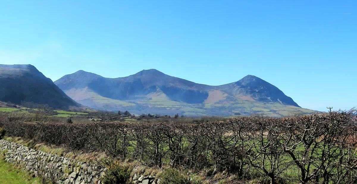
Yr Eifl (Garn Ganol)
Mountains & hills · 0.9 km

Yr Eifl
Mountains & hills · 0.9 km

Caer Gribin
Mountains & hills · 0.9 km

Gwydir
Villages · 1.1 km

Llanaelhaearn
Historic churches · 1.1 km

St Aelhaearn's Chuch
Historic churches · 1.4 km

Mynydd Gwaith (Garn For)
Mountains & hills · 1.6 km

Garn Fôr
Mountains & hills · 1.6 km
Pen Bwlch yr Eifl
Mountains & hills · 1.6 km

Parc Elernion
Campsites · 1.6 km
Nearby
📷 3Hill forts · North Wales
Tre'r Ceiri Hill Fort
Tre'r Ceiri Hill Fort — a hill fort in North Wales, United Kingdom.
📷 5📷 3Mountains & hills · North Wales
Yr Eifl (Garn Ganol)
Yr Eifl (Garn Ganol) — Named summit at 561 m.
📷 5📷 5📷 5Where to eat & stay near Tre'r Ceiri
Places to stay
📷 5 📷 5
📷 5Campsites · North Wales
Away From It All Glamping Holiday
Away From It All Glamping Holiday — a campsite in wales north.
 📷 5
📷 5 📷 5
📷 5Campsites · North Wales
Aberafon Campsite
Aberafon Campsite — a campsite in wales north.
 📷 5
📷 5Campsites · North Wales
Wern Caravan And Camping Park
Wern Caravan And Camping Park — a campsite in wales north.
Places to eat & drink
 📷 5
📷 5 📷 5
📷 5 📷 5
📷 5Restaurants · North Wales
Dylan's Restaurant
Dylan's Restaurant — a restaurant in wales north. Cuisine: burger;cake;coffee shop;fish;italian;italian pizza;pasta;pizza;seafood.
 📷 5
📷 5 📷 5
📷 5 📷 5
📷 5More places in this region
 📷 3
📷 3Hill forts · North Wales
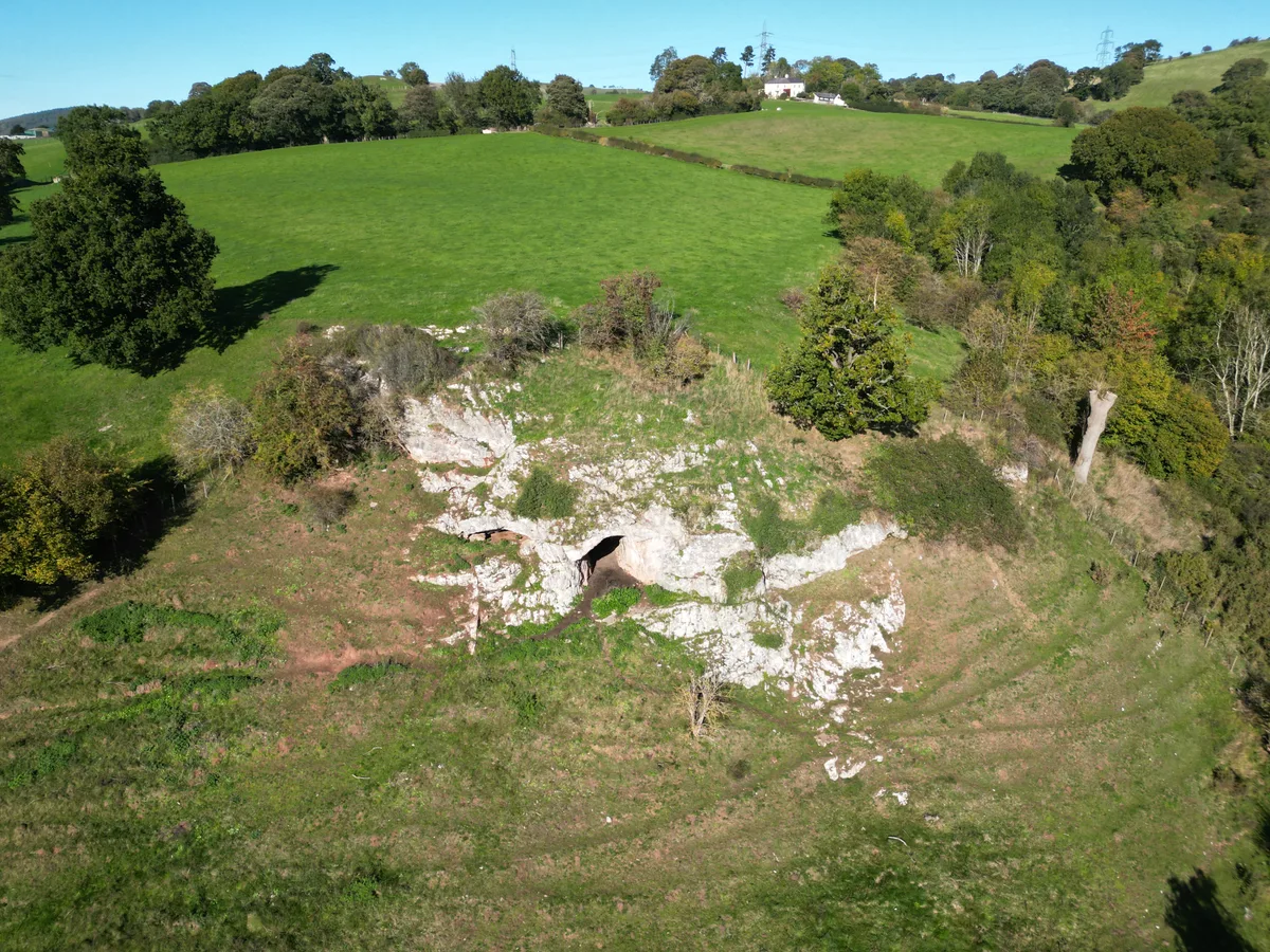
Ffynnon Beuno and Cae Gwyn Caves
Ffynnon Beuno and Cae Gwyn Caves — Site of Special Scientific Interest in Wales.
 📷 5
📷 5Hill forts · North Wales
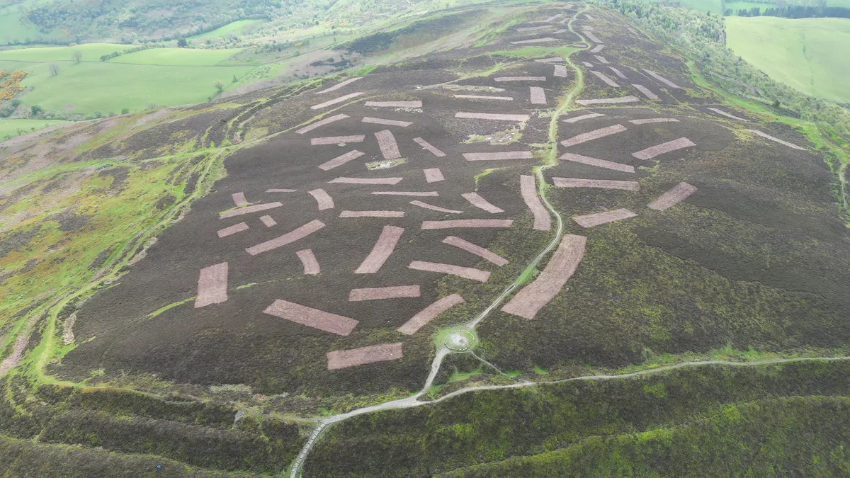
Penycloddiau
Penycloddiau — hillfort primarily located in Ysceifiog community, Flintshire.
 📷 5
📷 5Hill forts · North Wales
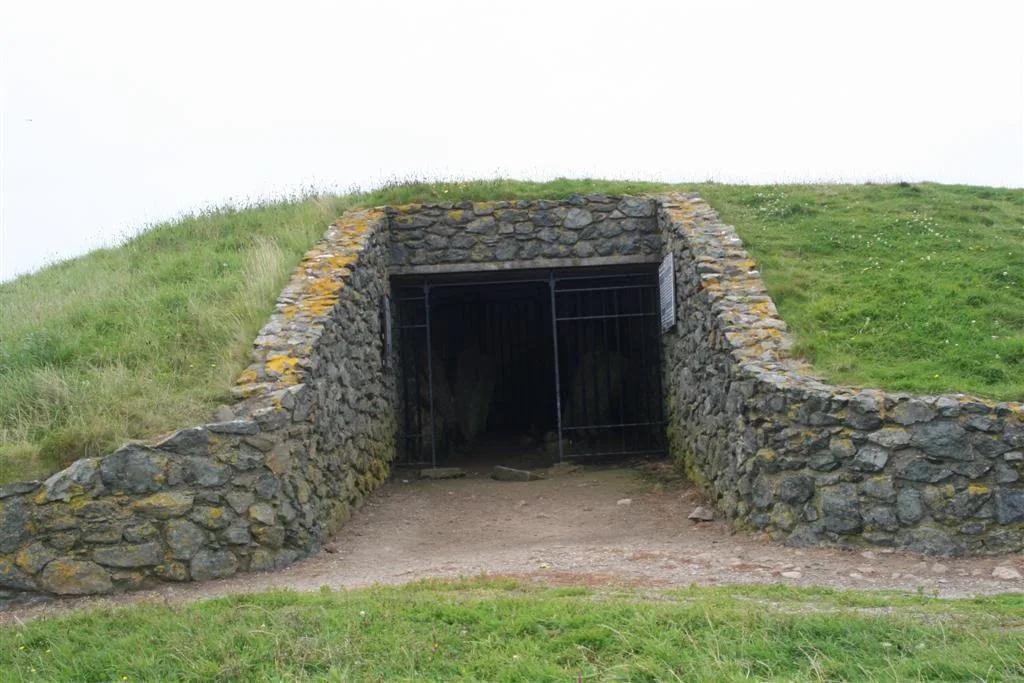
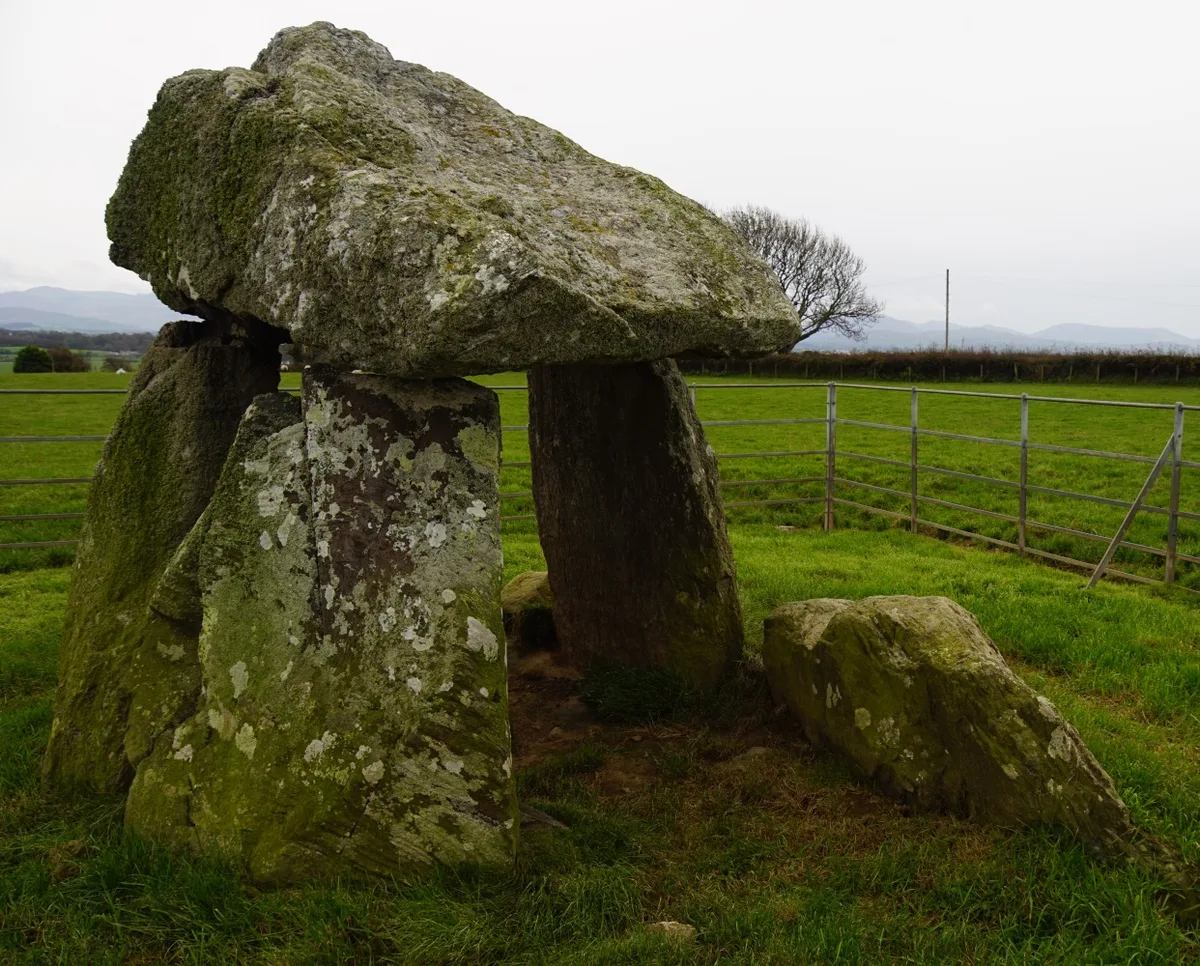
Barclodiad y Gawres
Barclodiad y Gawres — neolithic burial chamber in Anglesey, Wales, UK.
 📷 3
📷 3Hill forts · North Wales
Bodowyr Burial Chamber
Bodowyr Burial Chamber — Neolithic burial chamber in Llanidan, Anglesey, Wales, UK.
Frequently asked questions
- Where is Tre'r Ceiri?
- Tre'r Ceiri is in North Wales, United Kingdom (postcode LL54 5BB), in the parish of Trefor a Llanaelhaearn.
- What is Tre'r Ceiri?
- Tre'r Ceiri — large Iron Age hillfort.
- How do I get to Tre'r Ceiri?
- The nearest railway station is Abererch, about 9.1 km away. The nearest town is Llithfaen. Drivers can use postcode LL54 5BB.
- When was Tre'r Ceiri built?
- Built or established in -399.
- Is Tre'r Ceiri a listed building?
- Tre'r Ceiri is officially recognised as scheduled monument listed.
- Is Tre'r Ceiri free to visit?
- Yes, Tre'r Ceiri is free to enter.
- How do I get to Tre'r Ceiri?
- Drivers can navigate to postcode LL54 5BB. It sits within the Dwyfor Meirionnydd parliamentary constituency.