
Public art & sculpture · South East England
Treow
In or near Peasmarsh.
Treow — a public art in england-south-east, United Kingdom.

Oast House Archive — CC BY-SA 2.0 via Wikimedia Commons licence

Plan your visit
- Typical visit
- 1 h–2 h
- Nearest railway station
- Rye · 0.7 km
- Free entry
- Dog-friendly
Getting there & planning your visit
Treow is located in East Sussex, with the nearest railway station being Rye, which is 0.7 km away. Entry is free. The postcode for navigation is TN31 7EE.
About
Treow is a public art located in england-south-east, United Kingdom. Sourced from OpenStreetMap (ODbL licence); see local listings for visitor information, opening hours and admission details.
Photo gallery
See it from the streetimagery from 2023
Imagery © Mapillary contributors, CC BY-SA 4.0
Protected designations
- Site of Special Scientific Interest: Dungeness, Romney Marsh and Rye Bay SSSI
- Area of Outstanding Natural Beauty: High Weald
- Ramsar wetland: Dungeness, Romney Marsh and Rye Bay
Designations sourced from Natural England open data under OGL v3.
From the Wikipedia article
Treowen (or Tre-owen) is an early 17th-century house in Monmouthshire, Wales, regarded as "the most important gentry house (of its date) in the county". It is located in open countryside within the parish of Wonastow, about ½ mile (1 km) north-east of the village of Dingestow, and 3 miles (4.8 km) south-west of Monmouth. After being used as a farmhouse for three centuries, Treowen now operates as a conference and functions venue and holds the annual Wye Valley Chamber Music Festival. It is a Grade I listed building, and its gardens are designated Grade II on the Cadw/ICOMOS Register of Parks and Gardens of Special Historic Interest in Wales.
Excerpt from Wikipedia under CC BY-SA 4.0. See the source article linked in Sources below.
Background
History
{{quote box|width=25em|bgcolor=#c6dbf7|align=left|quote=There is something very moving about the distant view of Treowen, rising suddenly, high and lonely, out of the fields. It has no park, for it has been a farm since the 17th century, but the lack of elaborate setting suits its character. It is not a sophisticated building but strong, massive and generous. The depredations of time and fallen fortune have removed a good deal, but nothing has been added: everything that is there is genuine, unaltered work of its age. - Mark Girouard, 1960 Jones was briefly Member of Parliament for Monmouthshire in 1614, and was High Sheriff of Monmouthshire in 1615. He later inherited a fortune from his…
Architecture
The architectural historian John Newman considers Treowen the "most important 17th century gentry house" in Monmouthshire. It is constructed to a double-pile plan and built of Old Red Sandstone, with caramel-coloured ashlar blocks and green Bridgend sandstone dressings. The house was very large by local standards of the time, and commanded extensive views. Newman wrote that "as originally built, the height of the house must have been as daunting as the sheer repetitiveness of its design". The originally austere façade was altered early in its history by the addition of a porch, with a "classical frontispiece of distressing crudity", and the Jones shield.
Sourced from Wikipedia under CC BY-SA 4.0.
- Coordinates
- 50.9502, 0.7224
- County
- East Sussex
- District
- Rother
- Parish
- Rye
- Postcode
- TN31 7EE
- Parliamentary constituency
- Hastings and Rye
- Established
- 1615
- Nearest railway station
- Rye — 0.7 km
Sources
- osm: node/11409447775 (ODbL)
- wikipedia: Treowen (CC BY-SA 4.0)
Other places nearby

Gibbet Mill
Historic houses · 0.3 km

Rye, East Sussex
Museums · 0.5 km

Willow Tree House
B&Bs · 0.6 km
.JPG?width=1200)
Rye Particular Baptist Chapel
Historic houses · 0.6 km

Rye railway station
Heritage railway stations · 0.6 km

The Old Bell Inn
Historic houses · 0.6 km

The Mermaid Inn
Hotels · 0.7 km

Rye Farmers' Market
Farmers’ markets · 0.7 km

Rye Market
Farmers’ markets · 0.7 km

Clive Sawyer Gallery
Galleries · 0.7 km
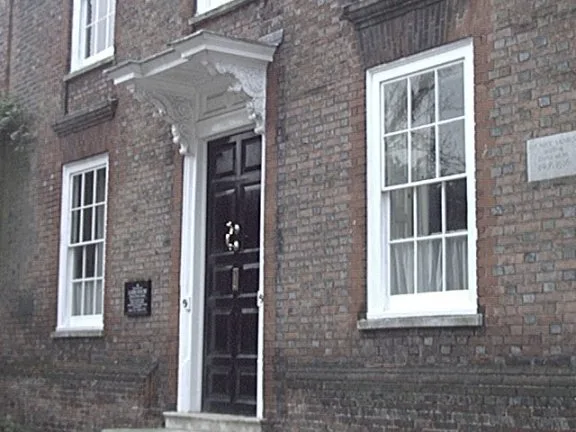
Lamb House
Historic houses · 0.7 km
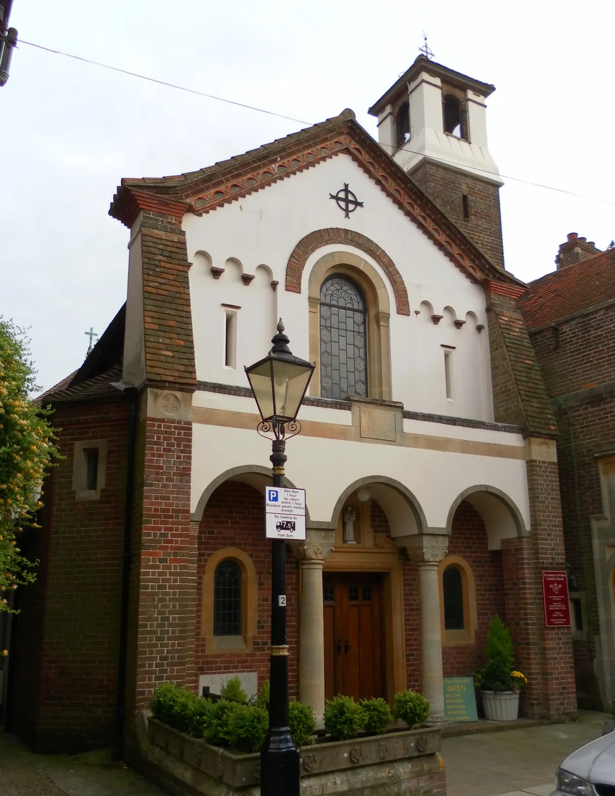
St Anthony of Padua Church
Abbeys & priories · 0.7 km
Nearby
📷 5Historic houses · South East England
Gibbet Mill
Gibbet Mill — a Grade II*-listed historic house in england-south-east, United Kingdom.
📷 5Museums · South East England
Rye, East Sussex
Rye, East Sussex — a museum in england-south-east, United Kingdom.
📷 7B&Bs · South East England
Willow Tree House
Willow Tree House — a bed-and-breakfast in england south east.
📷 5Historic houses · South East England
Rye Particular Baptist Chapel
Rye Particular Baptist Chapel — grade II listed church in Rye, Rother, East Sussex, England, UK.
📷 5Heritage railway stations · South East England
Rye railway station
Rye railway station — a Grade II*-listed railway station in england-south-east, United Kingdom.
📷 5Historic houses · South East England
The Old Bell Inn
The Old Bell Inn — a Grade II*-listed historic house in england-south-east, United Kingdom.
Where to eat & stay near Treow
Places to stay
📷 7B&Bs · South East England
Willow Tree House
Willow Tree House — a bed-and-breakfast in england south east.
📷 5 📷 5
📷 5 📷 5
📷 5B&Bs · South East England
The Old Stone House
The Old Stone House — a bed-and-breakfast in england south east.
 📷 5
📷 5 📷 5
📷 5Campsites · South East England
Hare and Hounds Campsite
Hare and Hounds Campsite — a campsite in england south east.
Places to eat & drink
 📷 5
📷 5Historic pubs · South East England
Flushing Inn Monks Way
Flushing Inn Monks Way in England South East, United Kingdom.
 📷 7
📷 7Historic pubs · South East England
The Horse And Cart Inn
The Horse And Cart Inn in England South East, United Kingdom.
 📷 7
📷 7Historic pubs · South East England
The William The Conquerer Public House
The William The Conquerer Public House in England South East, United Kingdom.
 📷 7
📷 7Historic pubs · South East England
The Hope Public House
The Hope Public House in England South East, United Kingdom.
 📷 5
📷 5Historic pubs · South East England
Hayes Arms Hotel
Hayes Arms Hotel in England South East, United Kingdom.
 📷 5
📷 5Historic pubs · South East England
The Fleur De Lys Public House The Fleur-De-Lys-Public House
The Fleur De Lys Public House The Fleur-De-Lys-Public House in England South East, United Kingdom.
More places in this region
 📷 5
📷 5Public art & sculpture · South East England
The Jurors
The Jurors — Public artwork (installation) by Hew Locke.
 📷 5
📷 5Public art & sculpture · South East England
The Woking Martian
The Woking Martian — a public art in england-london, United Kingdom.
 📷 5
📷 5Public art & sculpture · South East England
The Golf Ball
The Golf Ball — a public art in england-london, United Kingdom.
 📷 5
📷 5Public art & sculpture · South East England
Memorial to Alan Turing
Memorial to Alan Turing — a public art in england-london, United Kingdom.
Frequently asked questions
- Where is Treow?
- Treow is in East Sussex, South-East England, United Kingdom (postcode TN31 7EE), in the parish of Rye.
- What is Treow?
- Treow — a public art in england-south-east, United Kingdom.
- How do I get to Treow?
- The nearest railway station is Rye, about 0.7 km away. Drivers can use postcode TN31 7EE.
- When was Treow built?
- Built or established in 1615.
- Who owns Treow?
- Treow is owned by Privately owned.
- Is Treow a protected site?
- Yes — Treow is part of the Dungeness, Romney Marsh and Rye Bay SSSI Site of Special Scientific Interest and the High Weald National Landscape (AONB).
- Is Treow free to visit?
- Yes, Treow is free to enter.
- How do I get to Treow?
- The nearest railway station is Rye, about 0.7 km away. Drivers can navigate to postcode TN31 7EE.