
National landscapes (AONB) · South Wales
Trellech
Also known as: Tryleg, Tryleg Unedig
In or near St Briavels.
Trellech (occasionally spelt Trelech, Treleck or Trelleck; Welsh: Tryleg) is a village and parish in Monmouthshire, south-east Wales. Located 5 miles (8 km) south of Monmouth and 4 miles (6.4 km) nort

Jaggery — CC BY-SA 2.0 via Wikimedia Commons licence

Plan your visit
- Typical visit
- 3 h–6 h
- Nearest railway station
- Perrygrove · 8.9 km
- Free entry
- Dog-friendly
Getting there & planning your visit
To visit Trellech, the nearest railway station is Perrygrove, which is 8.9 km away. The postcode for Trellech is NP25 4PA. Entry is free.
About
Trellech (occasionally spelt Trelech, Treleck or Trelleck; Welsh: Tryleg) is a village and parish in Monmouthshire, south-east Wales. Located 5 miles (8 km) south of Monmouth and 4 miles (6.4 km) north-north-west of Tintern, Trellech lies on a plateau above the Wye Valley on the southern fringes of 320 acres (130 ha) of woodland in an Area of Outstanding Natural Beauty. Three Bronze Age standing stones are situated in the village, known as Harold's Stones, which overlook the historic church of St Nicholas, a Grade I listed building. Although a relatively small village in modern times, it was one of the largest towns in Wales in the 13th century, and is now a site of archaeological interest to determine its extent and role at that time. The village is designated as a conservation area. There are four nature reserves nearby; New Grove Flower Meadow, noted for its orchids, and Trellech Beacon are both owned by Gwent Wildlife Trust while Cleddon Bog and Croes Robert Wood are both SSSIs.
Photo gallery
Official information
The Lost City of Trellech is an archaeological project focused on excavating and understanding the historical significance of Trellech, once the largest settlement in medieval Wales. Visitors can participate in educational experience days that offer hands-on involvement in the excavation process.
Protected designations
- Site of Special Scientific Interest: River Wye SSSI
- Site of Special Scientific Interest: Severn Estuary SSSI
- Area of Outstanding Natural Beauty: Wye Valley
Designations sourced from Natural England open data under OGL v3.
From the Wikipedia article
Trellech (occasionally spelt Trelech, Treleck or Trelleck; Welsh: Tryleg) is a village and parish in Monmouthshire, south-east Wales. Located 5 miles (8 km) south of Monmouth and 4 miles (6.4 km) north-north-west of Tintern, Trellech lies on a plateau above the Wye Valley on the southern fringes of 320 acres (130 ha) of woodland in an Area of Outstanding Natural Beauty. Three Bronze Age standing stones are situated in the village, known as Harold's Stones, which overlook the historic church of St Nicholas, a Grade I listed building. Although a relatively small village in modern times, it was one of the largest towns in Wales in the 13th century, and is now a site of archaeological interest to determine its extent and role at that time. The village is designated as a conservation area. There are four nature reserves nearby; New Grove Flower Meadow, noted for its orchids, and Trellech Beacon are both owned by Gwent Wildlife Trust while Cleddon Bog and Croes Robert Wood are both SSSIs.
Excerpt from Wikipedia under CC BY-SA 4.0. See the source article linked in Sources below.
Background
History
Trellech was one of the major towns of medieval Wales, the remains of which have been subject to archaeological excavations which have been sustained over many years and which continue today. It is most likely that the town was established by the De Clare family specifically for the exploitation of local supplies of iron ore from the Forest of Dean, and charcoal produced in the surrounding woodlands, to provide weapons, armour and iron work for their military advances in Wales, including the building of Caerphilly Castle. By 1288 there were 378 burgage plots recorded in Trellech, which would have made it bigger than Cardiff or Chepstow at the time. Trellech was largely destroyed in 1291 as…
Description
Sometimes known as St Anne's Well, this circular wellspring, surrounded by a stone wall and seating, is located in a field on the left of the road to Tintern, about 400 yd east of the village. Local tradition is that it is the only one remaining of originally nine holy wells in Trellech. In the 17th century, it was reportedly much frequented, and reputed to cure "the scurvy, colic and other distempers".
Sourced from Wikipedia under CC BY-SA 4.0.
- Coordinates
- 51.7451, -2.7256
- District
- Monmouthshire
- Parish
- Trellech United
- Postcode
- NP25 4PA
- Parliamentary constituency
- Monmouthshire
- Phone
- 01291 625831
- Nearest railway station
- Perrygrove — 8.9 km
- Opening
- Experience Days available April–October; closed during winter months.
- Official site
- www.lostcityoftrellech.org
Sources
- wikipedia: Trellech (CC BY-SA 4.0)
Featured in these 2 guides
Other places nearby
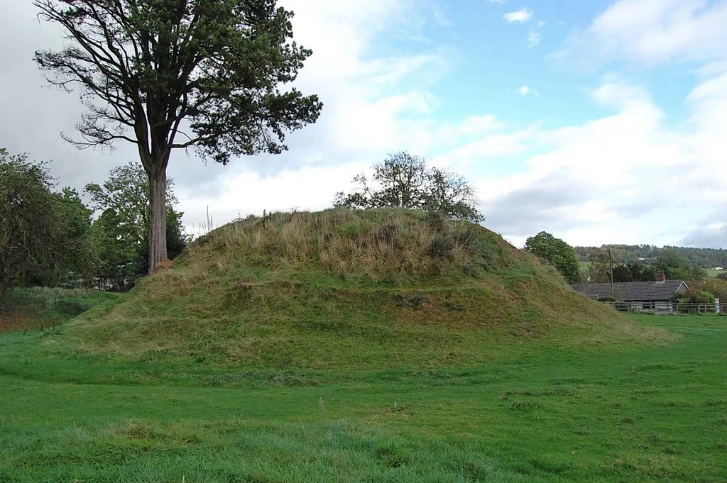
Tump Terret Castle
Castles · 0.0 km

Tump Terrett
Archaeological sites · 0.0 km

Tump Terret
Castles · 0.1 km

Harold's Stones
Archaeological sites · 0.3 km

Harold's Stones
Archaeological sites · 0.3 km
Trelleck
Villages · 0.4 km

Lost City of Trellech
Archaeological sites · 0.4 km

Trellech Blast Furnace
Historic houses · 1.1 km
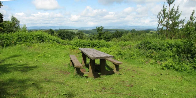
Beacon Hill
Mountains & hills · 1.2 km

Gaer hillfort, Trellech
Hill forts · 1.8 km

Gaer hill fort, Trellech
Vineyards · 1.8 km

Parkhouse Rocks
Mountains & hills · 2.0 km
Nearby
📷 3Castles · South Wales
Tump Terret Castle
Tump Terret Castle — archaeological site in Trellech, Monmouthshire, Wales, UK.
📷 3Archaeological sites · South Wales
Tump Terrett
Tump Terrett — a archaeological in wales-south, United Kingdom.
📷 5📷 3Archaeological sites · South Wales
Harold's Stones
Harold's Stones — a archaeological in wales-south, United Kingdom.
📷 5📷 5Where to eat & stay near Trellech
Places to stay
 📷 2
📷 2 📷 4
📷 4Campsites · South Wales
Highlands Camping and Caravan Site
Highlands Camping and Caravan Site — a campsite in wales south.
 📷 5
📷 5Hostels · South Wales
The Polish Scouts Association
The Polish Scouts Association — a hostel in wales south.
 📷 5
📷 5Campsites · South Wales
Botany Bay Scout campsite
Botany Bay Scout campsite — a campsite in wales south.
 📷 5
📷 5Campsites · South Wales
Glen Trothy C. & C. Park
Glen Trothy C. & C. Park — a campsite in wales south.
 📷 7
📷 7B&Bs · South Wales
Tintern Old Rectory B&B
Tintern Old Rectory B&B — a bed-and-breakfast in wales south.
Places to eat & drink

Restaurants · South Wales
The Whitebrook
The Whitebrook — a restaurant in wales south.
 📷 5
📷 5 📷 5
📷 5Historic pubs · South Wales
The Green Dragon, Monmouth
The Green Dragon, Monmouth in Wales South, United Kingdom.
 📷 5
📷 5Historic pubs · South Wales
The Gatehouse
The Gatehouse in Wales South, United Kingdom.
 📷 5
📷 5 📷 6
📷 6Frequently asked questions
- Where is Trellech?
- Trellech is in South Wales, United Kingdom (postcode NP25 4PA), in the parish of Trellech United.
- What is Trellech?
- Trellech (occasionally spelt Trelech, Treleck or Trelleck; Welsh: Tryleg) is a village and parish in Monmouthshire, south-east Wales. Located 5 miles (8 km) south of Monmouth and 4 miles (6.4 km) nort
- How do I get to Trellech?
- The nearest railway station is Perrygrove, about 8.9 km away. Drivers can use postcode NP25 4PA.
- Is Trellech a protected site?
- Yes — Trellech is part of the River Wye SSSI Site of Special Scientific Interest and the Severn Estuary SSSI Site of Special Scientific Interest.
- Is Trellech free to visit?
- Yes, Trellech is free to enter.
- How do I get to Trellech?
- Drivers can navigate to postcode NP25 4PA. It sits within the Monmouthshire parliamentary constituency.