
Hill forts · South West England
Tregeseal East stone circle
In or near Botallack.
Tregeseal East stone circle — Tregeseal East is a prehistoric stone circle near the town of St Just in Cornwall, UK.

Wikimedia Commons contributors — see linked file page for photographer and licence licence

Plan your visit
- Typical visit
- 1 h–2 h
- Nearest railway station
- Penzance · 9.1 km
- Free entry
- Dog-friendly
- Limited wheelchair access
Getting there & planning your visit
To visit Tregeseal East stone circle, the nearest railway station is Penzance, located 9.1 km away. Admission is free, but accessibility is limited for wheelchair users. The postcode for navigation is TR19 7PZ.
About
Tregeseal East stone circle is a hill fort in the United Kingdom. Wikidata describes it as: "Tregeseal East is a prehistoric stone circle near the town of St Just in Cornwall, UK". Coordinates: 50.1337°, -5.6585°.
Photo gallery
Official information
Tregeseal Stone Circle is a prehistoric site dating back to the late Neolithic-early Bronze Age, featuring a circle of 19 stones. Visitors can explore the surrounding area, which is rich in legends and historical significance, including connections to ancient rituals and ceremonies.
Protected designations
- Site of Special Scientific Interest: Aire Point to Carrick Du SSSI
- Site of Special Scientific Interest: West Penwith Moors and Downs SSSI
- Area of Outstanding Natural Beauty: Cornwall
Designations sourced from Natural England open data under OGL v3.
From the Wikipedia article
The Tregeseal East stone circle (Cornish: Meyn an Dons, meaning "Stones of the Dance"; grid reference SW386323) is a heavily restored prehistoric stone circle around one mile northeast of the town of St Just in Cornwall, United Kingdom. The 19 granite stones are also known as The Dancing Stones. It is the one surviving circle of three that once stood aligned along an east–west axis on the hillside to the south of Carn Kenidjack.
Excerpt from Wikipedia under CC BY-SA 4.0. See the source article linked in Sources below.
Background
Architecture
The stone circle consists of 19 granite blocks with a height between 1 -, which describe an approximate circle with a diameter of around 21 m. Two stones are probably missing, since the circle consisted of 21 stones in earlier times. The stone circle was subjected over the centuries to substantial rebuilding and restoration work, so that today only the stones in the eastern half of the circle may be in their original positions. The stone circle was part of a larger ritual area, similar to the area around The Merry Maidens, It consisted of a possible three stone circles in a general east–west alignment. The other two stone circles were to the west of the existing stone circle. The proposed…
Sourced from Wikipedia under CC BY-SA 4.0.
- Coordinates
- 50.1337, -5.6585
- District
- Cornwall
- Parish
- St. Just
- Postcode
- TR19 7PZ
- Parliamentary constituency
- St Ives
- Established
- 2000
- Nearest railway station
- Penzance — 9.1 km
- Official site
- www.cornishancientsites.com
Sources
- wikidata: Q2341289 (CC0)
- wikipedia: Tregeseal East stone circle (CC BY-SA 4.0)
- commons: Tregeseal east towards carn kenidjack.jpg (CC BY-SA 4.0)
Other places nearby
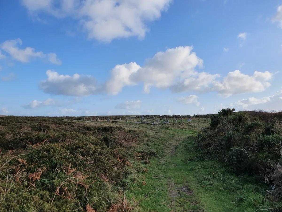
Two large regular stone circles 290m north east of Hailglower Farm
Archaeological sites · 0.0 km
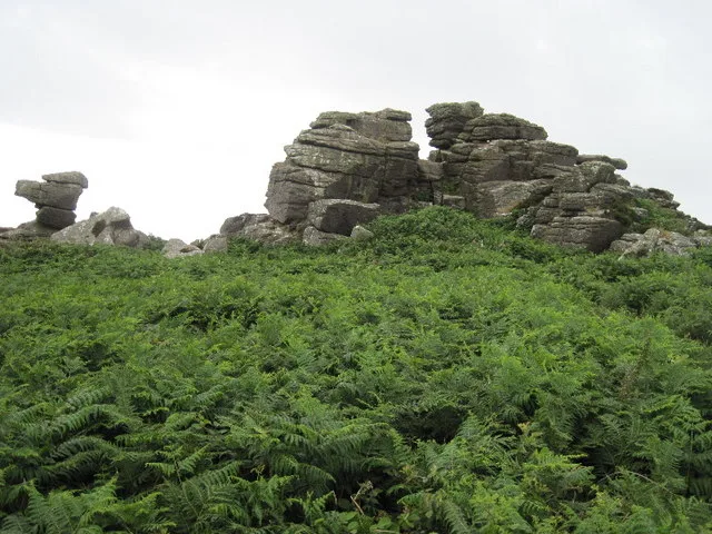
Carn Kenidjack
Mountains & hills · 0.6 km
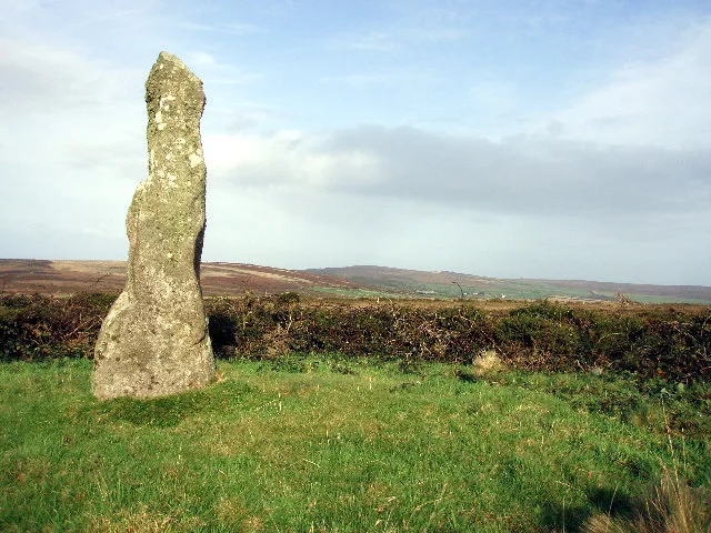
Boswens Menhir
Hill forts · 1.5 km

Boswens Common
Mountains & hills · 1.5 km

Wayside cross in St Just Vicarage garden
Gardens · 1.6 km

Trewellard
Museums · 1.7 km

Trevaylor Caravan and Camping Park
Campsites · 1.7 km

St Just
Cemeteries · 1.8 km
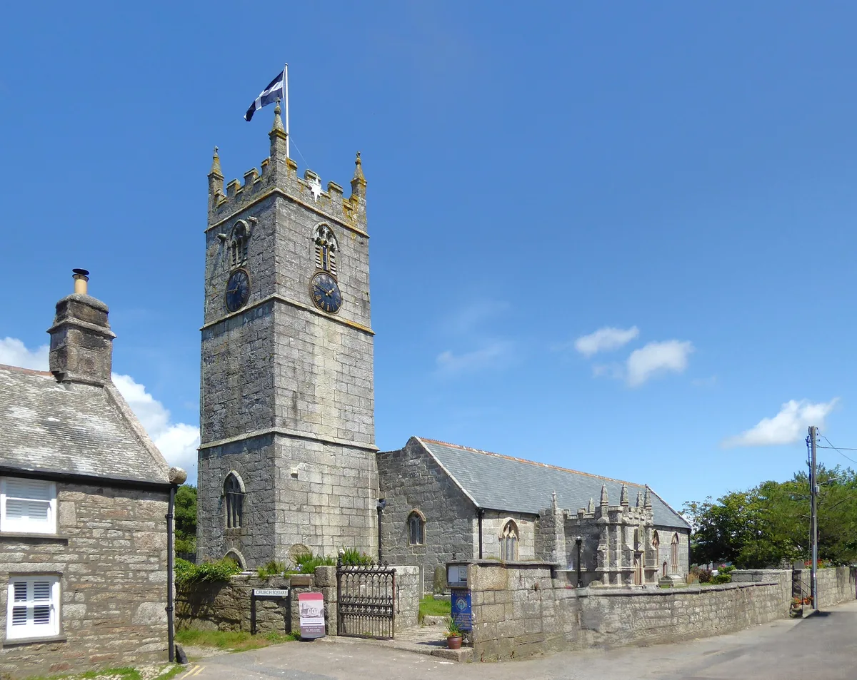
St Just in Penwith Parish Church
Historic churches · 1.8 km

Botallack
Towns & cities · 1.8 km

Churchyard cross in St Just's churchyard, 10m west of the church
Historic churches · 1.8 km
Jackson Foundation Gallery
Galleries · 1.8 km
Nearby
📷 3Archaeological sites · South West England
Two large regular stone circles 290m north east of Hailglower Farm
Two large regular stone circles 290m north east of Hailglower Farm — archaeological site in St Just, Cornwall, England, UK.
📷 5📷 5Hill forts · South West England
Boswens Menhir
Boswens Menhir — standing stone near St. Just in Penwith, Cornwall, England.
📷 5Mountains & hills · South West England
Boswens Common
Boswens Common — a hill or mountain in england south west.
📷 3Gardens · South West England
Wayside cross in St Just Vicarage garden
Wayside cross in St Just Vicarage garden — a Grade II-listed garden in england-south-west, United Kingdom.
📷 5Where to eat & stay near Tregeseal East stone circle
Places to stay
📷 5Campsites · South West England
Trevaylor Caravan and Camping Park
Trevaylor Caravan and Camping Park — a campsite in england south west.
 📷 7
📷 7Hotels · South West England
The Wellington Hotel
The Wellington Hotel — a hotel in england south west.
 📷 6
📷 6 📷 5
📷 5Campsites · South West England
North Inn Camping
North Inn Camping — a campsite in england south west.
 📷 5
📷 5Caravan parks · South West England
Bosavern House
Bosavern House — a caravan park in england south west.
📷 5Campsites · South West England
Kelynack Caravan & Camping
Kelynack Caravan & Camping — a campsite in england south west.
Places to eat & drink
 📷 5
📷 5Historic pubs · South West England
Tolcarne Inn Public House
Tolcarne Inn Public House in England South West, United Kingdom.
 📷 5
📷 5Historic pubs · South West England
First And Last Inn
First And Last Inn in England South West, United Kingdom.
 📷 7
📷 7Restaurants · South West England
The Old Lifeboat House Bistro
The Old Lifeboat House Bistro — a restaurant in england south west. Cuisine: seafood.
 📷 5
📷 5 📷 5
📷 5Historic pubs · South West England
The Sloop Inn
The Sloop Inn in England South West, United Kingdom.
 📷 5
📷 5Historic pubs · South West England
The Bucket of Blood
The Bucket of Blood in England South West, United Kingdom.
More places in this region
 Flagship📷 10
Hill forts · South West England
Maiden Castle
Maiden Castle — Iron Age hill fort in Dorset, England, UK.
 📷 5
📷 5Hill forts · South West England
All Cannings Cross
All Cannings Cross — archaeological site in All Cannings, Wiltshire, England, UK.
 📷 5
📷 5Hill forts · South West England
Aquae Sulis
Aquae Sulis — town in Roman Britain on the site of Bath, England.
 📷 5
📷 5Hill forts · South West England
Aston Valley Barrow Cemetery
Aston Valley Barrow Cemetery — group of Bronze Age burial mounds in England.
Frequently asked questions
- Where is Tregeseal East stone circle?
- Tregeseal East stone circle is in South-West England, United Kingdom (postcode TR19 7PZ), in the parish of St. Just.
- What is Tregeseal East stone circle?
- Tregeseal East stone circle — Tregeseal East is a prehistoric stone circle near the town of St Just in Cornwall, UK.
- How do I get to Tregeseal East stone circle?
- The nearest railway station is Penzance, about 9.1 km away. The nearest town is Botallack. Drivers can use postcode TR19 7PZ.
- When was Tregeseal East stone circle built?
- Built or established in 2000.
- Is Tregeseal East stone circle a protected site?
- Yes — Tregeseal East stone circle is part of the Aire Point to Carrick Du SSSI Site of Special Scientific Interest and the West Penwith Moors and Downs SSSI Site of Special Scientific Interest.
- Is Tregeseal East stone circle free to visit?
- Yes, Tregeseal East stone circle is free to enter.
- How do I get to Tregeseal East stone circle?
- Drivers can navigate to postcode TR19 7PZ. It sits within the St Ives parliamentary constituency.