
Mountains & hills · Central Scotland
Traprain Law
Also known as: Dunpendyrlaw, Dùn Peilleir
Traprain Law — Named summit at 221 m.

Wikimedia Commons contributors — see linked file page for photographer and licence licence

Plan your visit
- Typical visit
- 3 h–8 h
- Best time of year
- Late spring – early autumn (May–Oct)
- Nearest railway station
- East Linton · 2.7 km
- Free entry
- Dog-friendly
About
Traprain Law is a named summit in the United Kingdom. Also known as: Dunpendyrlaw. Wikidata describes it as: "Named summit at 221 m.". Coordinates: 55.9633°, -2.6715°.
Photo gallery
From the Wikipedia article
Traprain Law is a hill 6 km (4 mi) east of Haddington, East Lothian, Scotland. It is the site of a hill fort or possibly oppidum, which covered at its maximum extent about 16 ha (40 acres). It is the site of the Traprain Law Treasure, the largest Roman silver hoard from anywhere outside the Roman Empire which included exquisite silver artefacts. The hill, about 220 m (720 ft) above MSL, was already a place of burial by around 1500 BC, and showed evidence of occupation and signs of ramparts after 1000 BC. The ramparts were rebuilt and realigned many times in the following centuries. Excavations have shown it was occupied in the Late Iron Age from about AD 40 until the last quarter of the 2nd century (about the time that the Antonine Wall was manned). In the 1st century AD the Romans recorded the Votadini as a British tribe in the area, and Traprain Law is generally thought to have been one of their major settlements, named Curia by Ptolemy. They emerged as a kingdom under the Brythonic version of their name Gododdin and Traprain Law is thought to have been their capital before moving to Din Eidyn (Castle Rock in modern Edinburgh). In 1938 an area of the hill was leased to the district council for use as a quarry for road stone, causing substantial disfigurement to the landscape.
Excerpt from Wikipedia under CC BY-SA 4.0. See the source article linked in Sources below.
- Coordinates
- 55.9633, -2.6715
- District
- East Lothian
- Postcode
- EH41 4PY
- Parliamentary constituency
- Lothian East
- Nearest railway station
- East Linton — 2.7 km
Sources
- osm: n3667998726 (ODbL)
- wikipedia: Traprain Law (CC BY-SA 4.0)
- commons: Traprain Law from the north.JPG (CC BY-SA 4.0)
Featured in this guide
Other places nearby
Loading nearby places…
Nearby
 📷 3
📷 3Hill forts · Central Scotland
Traprain Law Hillfort
Traprain Law Hillfort — a hill fort in scotland-central, United Kingdom.
 📷 5
📷 5Climbing & bouldering crags · Central Scotland
Traprain Law
Traprain Law — a climbing crag in scotland central.
 📷 5
📷 5Vineyards · Central Scotland
Traprain Law
Traprain Law — a UK vineyard in scotland central, producing English or Welsh wine from cool-climate grape varieties.
 📷 5
📷 5Climbing & bouldering crags · Central Scotland
Traprain Law
Traprain Law — a climbing crag in scotland central.
 📷 5
📷 5Windmills · Central Scotland
Loth Stone,standing stone,Traprain Law
Loth Stone,standing stone,Traprain Law — a post mill in scotland-central, United Kingdom.
 📷 3
📷 3Archaeological sites · Central Scotland
The Loth Stone
The Loth Stone — a archaeological in scotland-central, United Kingdom.
More mountains in this region
 📷 3
📷 3Mountains & hills · Central Scotland
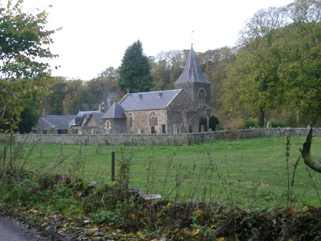
Abbey Hill
Abbey Hill — Named summit at 278 m.
 📷 3
📷 3Mountains & hills · Central Scotland
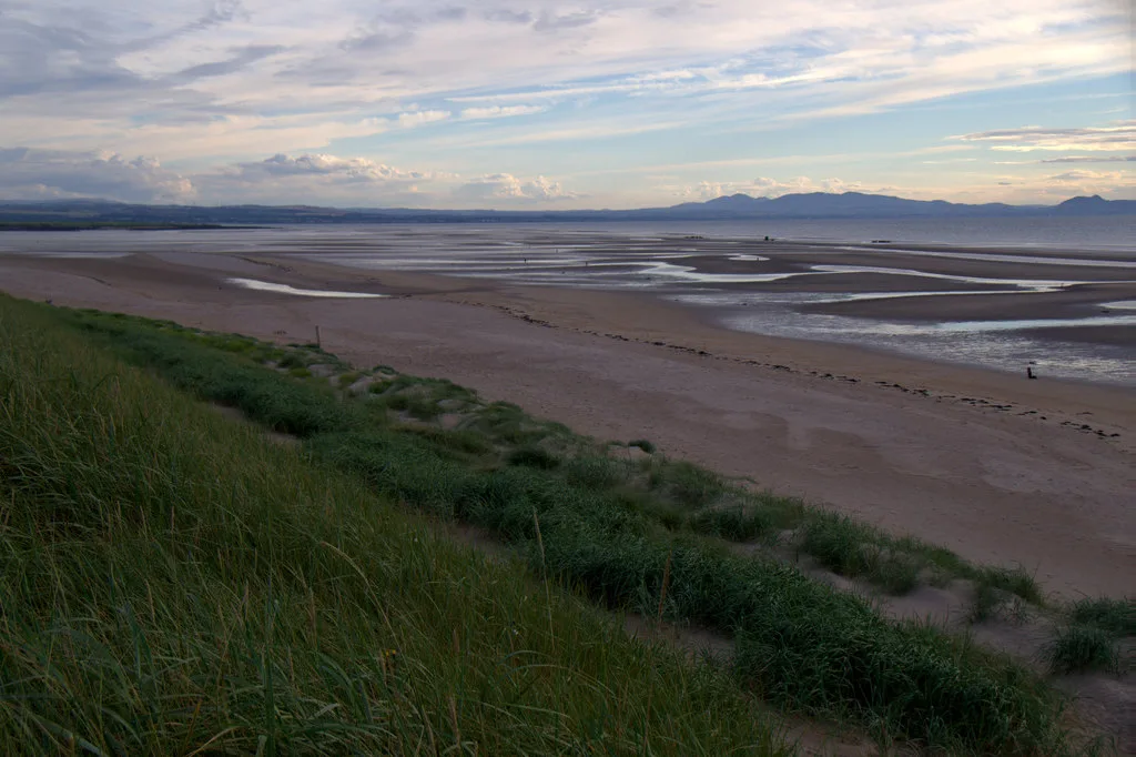
Aberlady Bay
Aberlady Bay — bay on the north coast of East Lothian, Scotland, UK.
 📷 3
📷 3Mountains & hills · Central Scotland
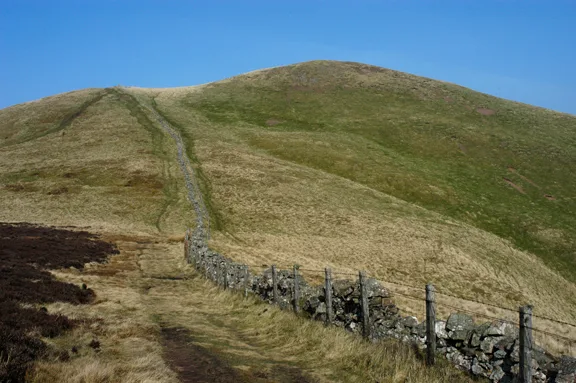
Allermuir Hill
Allermuir Hill — Named summit at 493 m.
 📷 3
📷 3Mountains & hills · Central Scotland
Ardnandave
Ardnandave — Named summit at 715 m.
Frequently asked questions
- Where is Traprain Law?
- Traprain Law is in central Scotland, United Kingdom (postcode EH41 4PY).
- What is Traprain Law?
- Traprain Law — Named summit at 221 m.
- How do I get to Traprain Law?
- The nearest railway station is East Linton, about 2.7 km away. Drivers can use postcode EH41 4PY.
- Is Traprain Law free to visit?
- Yes, Traprain Law is free to enter.
- How do I get to Traprain Law?
- The nearest railway station is East Linton, about 2.7 km away. Drivers can navigate to postcode EH41 4PY.