
Beaches · North Wales
Traeth Lafan
In or near Beaumaris.
Traeth Lafan is a beach in the United Kingdom.

Wikimedia Commons contributors — see linked file page for photographer and licence licence

Plan your visit
- Typical visit
- 1 h–3 h
- Best time of year
- Summer (Jun–Aug)
- Nearest railway station
- Llanfairfechan · 4.4 km
- Free entry
- Family-friendly
- Dog-friendly
Getting there & planning your visit
To visit Traeth Lafan, the nearest railway station is Llanfairfechan, located 4.4 km away. The postcode for sat-nav is LL33 0LT. Entry to the beach is free.
About
Traeth Lafan is a named beach on the United Kingdom coastline. Heritage designation: Site of Special Scientific Interest. Coordinates: 53.2409°, -4.0436°.
Photo gallery
From the Wikipedia article
Lavan Sands (Welsh: Traeth Lafan) is an intertidal sandbank found in the Menai Strait between Bangor, Gwynedd and Llanfairfechan, Wales. Totally underwater at high tide, at extreme low tides it measures 5.5-mile (8.9 km) east-west and 3.25-mile (5.23 km) north-south. At the western end is found another sandbank Bangor Flats and just north is the sandbank Dutchman's Bank (Welsh: Banc Yr Hen Wyddeles). At low tide the Lavan Sands make the narrowest part of the Menai Strait, at Beaumaris, a mere 237 m (778 ft). The area is designated as an SSSI due in part to the large numbers of Eurasian oystercatchers that migrate there due to the freshwater streams that flow across it. Historians have speculated that the sands might have been the launch site of the first Roman assault on Anglesey led by Gaius Suetonius Paulinus in 60AD. What is certain is that they were used as a point of departure for the ferries between the mainland and the island until the Menai Suspension Bridge was completed in 1826. Due to the busy shipping lanes in and out of Liverpool, the Sands and Dutchman's Bank have been the location of several shipwrecks over the years involving vessels that have gone off course or have been looking for shelter from the Irish Sea. One of the best known is that of the Rothsay Castle on 18 August 1831 in which 130 people died. The disaster led to the establishment of a lifeboat station at Penmon and to the completion of Trwyn Du Lighthouse in 1837. From the mainland the Sands are extensively viewable from both the Wales Coast Path and the North Wales Coast Line railway. From Anglesey the best views are from Beaumaris and the Anglesey Coastal Path.
Excerpt from Wikipedia under CC BY-SA 4.0. See the source article linked in Sources below.
- Coordinates
- 53.2409, -4.0436
- District
- Gwynedd
- Parish
- Llanllechid
- Postcode
- LL33 0LT
- Parliamentary constituency
- Bangor Aberconwy
- Nearest railway station
- Llanfairfechan — 4.4 km
Sources
- wikidata: Q13131975 (CC0)
- wikipedia: Lavan Sands (CC BY-SA 4.0)
- commons: Traeth Lafan.JPG (CC BY-SA 4.0)
Other places nearby

Aber Falls Distillery
Distilleries · 1.5 km

Abergwyngregyn
Historic churches · 1.8 km

Aber Castle Mound
Literary houses · 2.1 km
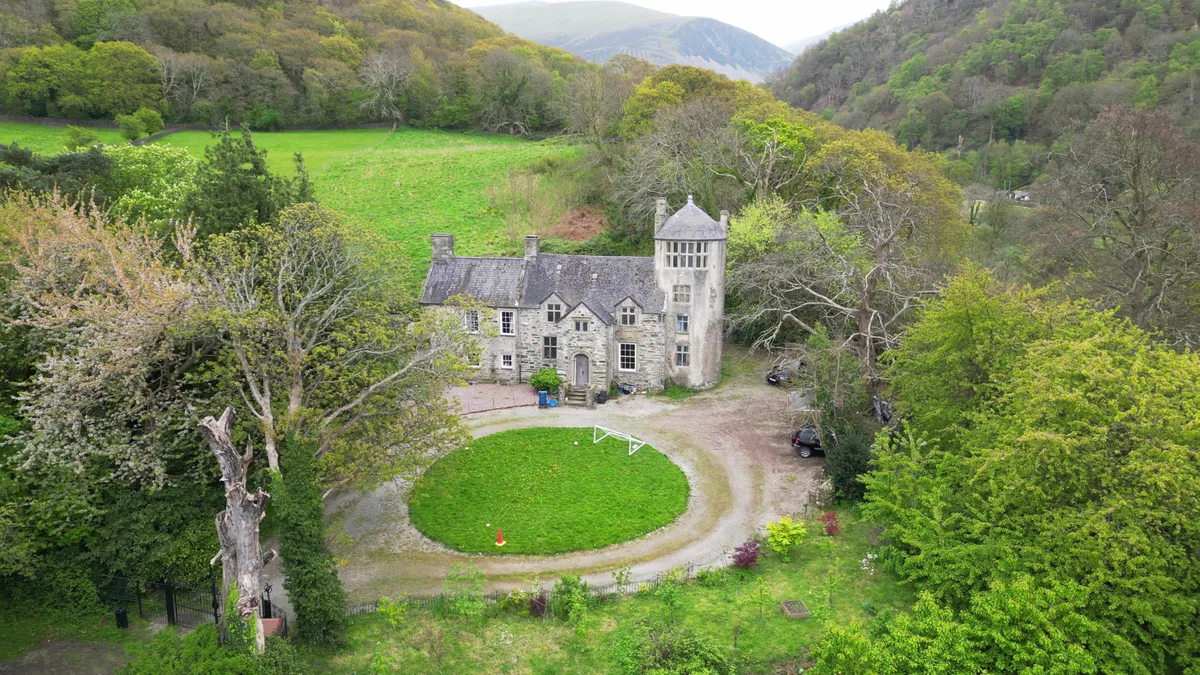
Pen y Bryn
Stately homes · 2.2 km

Ffridd Ddu
Mountains & hills · 2.6 km

Llyn Celanedd
Forests & woodlands · 2.8 km

Spinnies Nature Reserve
Wildlife reserves · 2.8 km

Afon Ogwen
Historic churches · 2.8 km

Maes y Gaer
Mountains & hills · 2.8 km

Maes-y-Gaer Hillfort
Hill forts · 2.8 km

Maes-y-Gaer
Vineyards · 2.8 km

Bridge At The Mouth Of The Afon Ogwen
Historic bridges · 3.0 km
Nearby
📷 3📷 5Historic churches · North Wales
Abergwyngregyn
Abergwyngregyn (Welsh: [abɛrɡwɨnˈɡrɛɡɨn]) is a village and community of historical note in Gwynedd, a county and principal area in Wales. Under its historic name of Aber Garth Celyn it was the seat of
📷 5Literary houses · North Wales
Aber Castle Mound
Aber Castle Mound — a literary house museum in wales north.
📷 3Stately homes · North Wales
Pen y Bryn
Pen y Bryn — Grade II* listed building in Gwynedd. Building in Abergwyngregyn, Gwynedd, Wales.
📷 5📷 3Forests & woodlands · North Wales
Llyn Celanedd
Llyn Celanedd is a forest or woodland in the United Kingdom.
Where to eat & stay near Traeth Lafan
Places to stay
 📷 5
📷 5Hotels · North Wales
Castle Court
Castle Court — a hotel in wales north.
 📷 7
📷 7Hotels · North Wales
Gwesty'r Bulkeley / Bulkeley Hotel
Gwesty'r Bulkeley / Bulkeley Hotel — a hotel in wales north.
 📷 7
📷 7Hotels · North Wales
Gwesty'r Pen y Tarw / Olde Bull's Head
Gwesty'r Pen y Tarw / Olde Bull's Head — a hotel in wales north.
 📷 7
📷 7 📷 5
📷 5 📷 5
📷 5Places to eat & drink
 📷 7
📷 7 📷 7
📷 7 📷 5
📷 5Historic pubs · North Wales
The George and Dragon
The George and Dragon — Historic pub — listed building or notable heritage status.
 📷 7
📷 7Restaurants · North Wales
Tafarn Tryfan
Tafarn Tryfan — a restaurant in wales north.
 📷 5
📷 5 📷 5
📷 5More beaches in this region
 📷 3
📷 3Beaches · North Wales
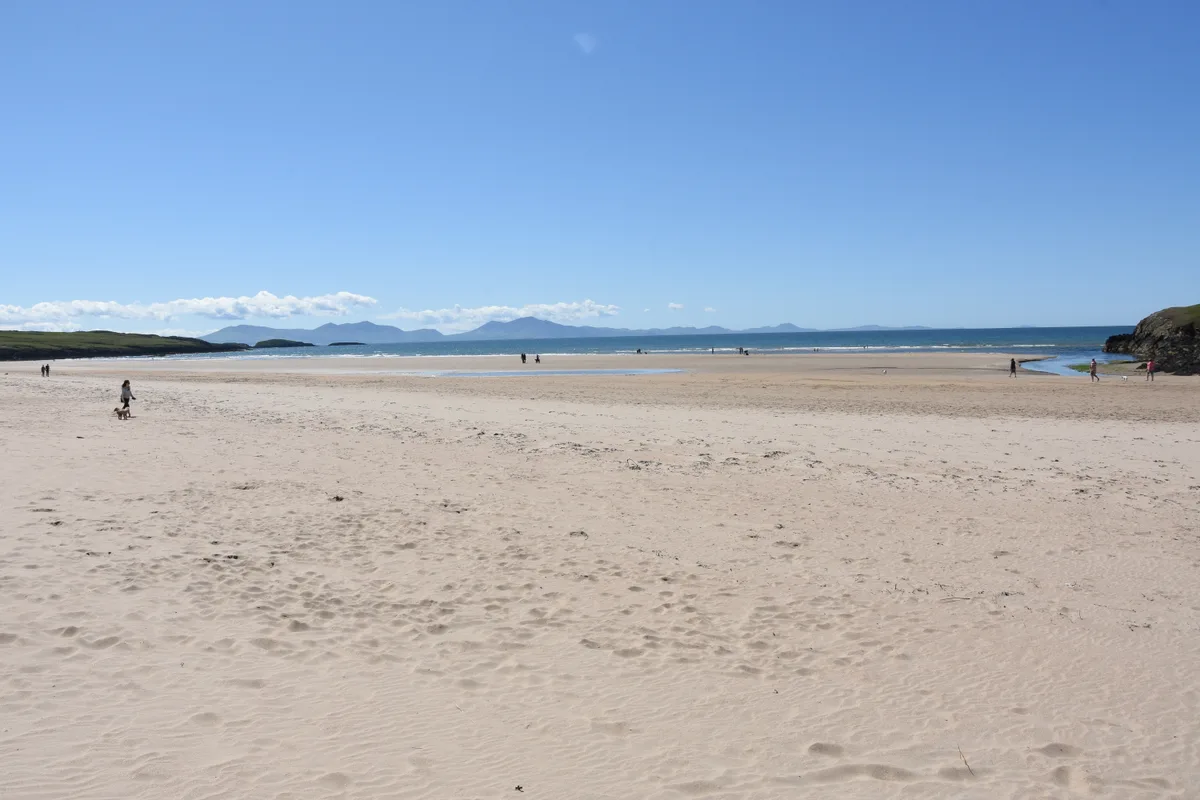
Aberffraw Sands
Aberffraw Sands — sandy beach on west coast of Anglesey, in Wales, UK.
 📷 3
📷 3 📷 3
📷 3 📷 3
📷 3Frequently asked questions
- Where is Traeth Lafan?
- Traeth Lafan is in North Wales, United Kingdom (postcode LL33 0LT), in the parish of Llanllechid.
- What is Traeth Lafan?
- Traeth Lafan is a beach in the United Kingdom.
- How do I get to Traeth Lafan?
- The nearest railway station is Llanfairfechan, about 4.4 km away. Drivers can use postcode LL33 0LT.
- Is Traeth Lafan a listed building?
- Traeth Lafan is officially recognised as Site of Special Scientific Interest listed.
- Is Traeth Lafan free to visit?
- Yes, Traeth Lafan is free to enter.
- How do I get to Traeth Lafan?
- The nearest railway station is Llanfairfechan, about 4.4 km away. Drivers can navigate to postcode LL33 0LT.