
Museums · Central Scotland
Township, Auchindrain, Loch Fyne
In or near Furnace.
Township, Auchindrain, Loch Fyne in Scotland Islands, United Kingdom.

James T M Towill — CC BY-SA 2.0 via Wikimedia Commons licence

Plan your visit
- Typical visit
- 1.5 h–3 h
- Best time of year
- Year-round
- Free entry
- Family-friendly
- Limited wheelchair access
About
Township, Auchindrain, Loch Fyne is a place of interest in Scotland Islands, United Kingdom — drawn from open-data sources for visitor reference. See the linked Wikipedia article for the full description.
Photo gallery
Official information
Auchindrain is a well-preserved example of a traditional Scottish township, showcasing rural Highland life over hundreds of years. Visitors can explore restored longhouses, byres, stables, and fields to learn about the daily lives of past inhabitants. The site serves as a living testament to Scotland's heritage and history.
From the Wikipedia article
Auchindrain (Scottish Gaelic: Achadh an Droighinn: 'thorn field') lies on the A83, 6 miles (10 km) south of Inveraray in Argyll and Bute, Scotland. It is the only township to survive substantially unaltered from amongst the many hundreds that existed across the Scottish Highlands before the Highland Clearances of the late 18th and 19th centuries. The major feature of the museum is the 22 buildings and building remains of the township. Twelve of these buildings are mainly complete, with the remains of the other 10 either needing or undergoing restoration work. Much of this work is carried out by volunteers and enthusiasts like the West of Scotland Dry Stone Walling Association. Also within the 22 acres (9 ha) of museum grounds are other man-made structures in various condition of repair, including stone dykes, stackyards, stack bases, kailyards, middens, pathways, roads, a corn kiln and evidence of run rig farming methods. The site is open to the public as the Auchindrain Township Open Air Museum between April and September each year.
Excerpt from Wikipedia under CC BY-SA 4.0. See the source article linked in Sources below.
Background
Architecture
The site is designated as a Conservation Area; it is Category A Listed in its entirety, and its buildings are a Recognised Collection – one of only a few collections not held by National Museums and National Galleries of Scotland.
Sourced from Wikipedia under CC BY-SA 4.0.
- Coordinates
- 56.1803, -5.1740
- District
- Argyll and Bute
- Postcode
- PA32 8WD
- Parliamentary constituency
- Argyll, Bute and South Lochaber
- Official site
- www.auchindrain.org.uk
Sources
- wikidata: Q758612 (CC0)
- wikipedia: Auchindrain (CC BY-SA 4.0)
Other places nearby
Auchindrain
Museums · 0.1 km

An Torr
Mountains & hills · 0.7 km

Bridge Over Leacainn River
Historic bridges · 1.2 km

Dun Leacainn
Mountains & hills · 1.6 km

Leathad Bheithe
Mountains & hills · 1.6 km
Dun Leacainn
Mountains & hills · 1.7 km

Beinn Dearg
Mountains & hills · 1.9 km
Beinn Dearg
Mountains & hills · 2.0 km

Cruach Leacann
Mountains & hills · 2.4 km

Claonairi
Villages · 2.5 km
Loch nan Seileach
Lakes · 2.8 km

Gunpowder Works
Historic houses · 2.9 km
Nearby
📷 3Museums · Central Scotland
Auchindrain
Auchindrain — a museum in scotland-highlands, United Kingdom.
📷 5📷 5Historic bridges · Central Scotland
Bridge Over Leacainn River
Bridge Over Leacainn River — category C listed building-listed bridge in scotland-highlands, United Kingdom.
📷 5Mountains & hills · Central Scotland
Dun Leacainn
Dun Leacainn — a hill or mountain in scotland highlands.
📷 5Mountains & hills · Central Scotland
Leathad Bheithe
Leathad Bheithe — a hill or mountain in scotland highlands.
📷 5Mountains & hills · Central Scotland
Dun Leacainn
Dun Leacainn — mountain in scotland highlands. Elevation: 360 m.
Where to eat & stay near Township, Auchindrain, Loch Fyne
Places to stay
 📷 5
📷 5Campsites · Central Scotland
Stucreoch Caravan Park
Stucreoch Caravan Park — a campsite in scotland highlands.
 📷 5
📷 5Caravan parks · Central Scotland
Argyll Caravan Park
Argyll Caravan Park — a caravan park in scotland highlands.
 📷 5
📷 5Caravan parks · Central Scotland
Strathlachlan Caravan Park
Strathlachlan Caravan Park — a caravan park in scotland highlands.
 📷 5
📷 5Hostels · Central Scotland
Inveraray Hostel
Inveraray Hostel — a hostel in scotland highlands.
 📷 5
📷 5Caravan parks · Central Scotland
St Catherine's Caravan Park
St Catherine's Caravan Park — a caravan park in scotland highlands.
 📷 5
📷 5Caravan parks · Central Scotland
Lochgoilhead Holiday Park
Lochgoilhead Holiday Park — a caravan park in scotland highlands.
Places to eat & drink
 📷 3
📷 3Historic pubs · Central Scotland
Ardbrecknish House
Ardbrecknish House — Historic pub — listed building or notable heritage status.
 📷 7
📷 7Historic pubs · Central Scotland
Cairnbaan Hotel, Crinan Canal
Cairnbaan Hotel, Crinan Canal in Scotland Central, United Kingdom.
More museums in this region
 📷 5
📷 5Museums · Central Scotland
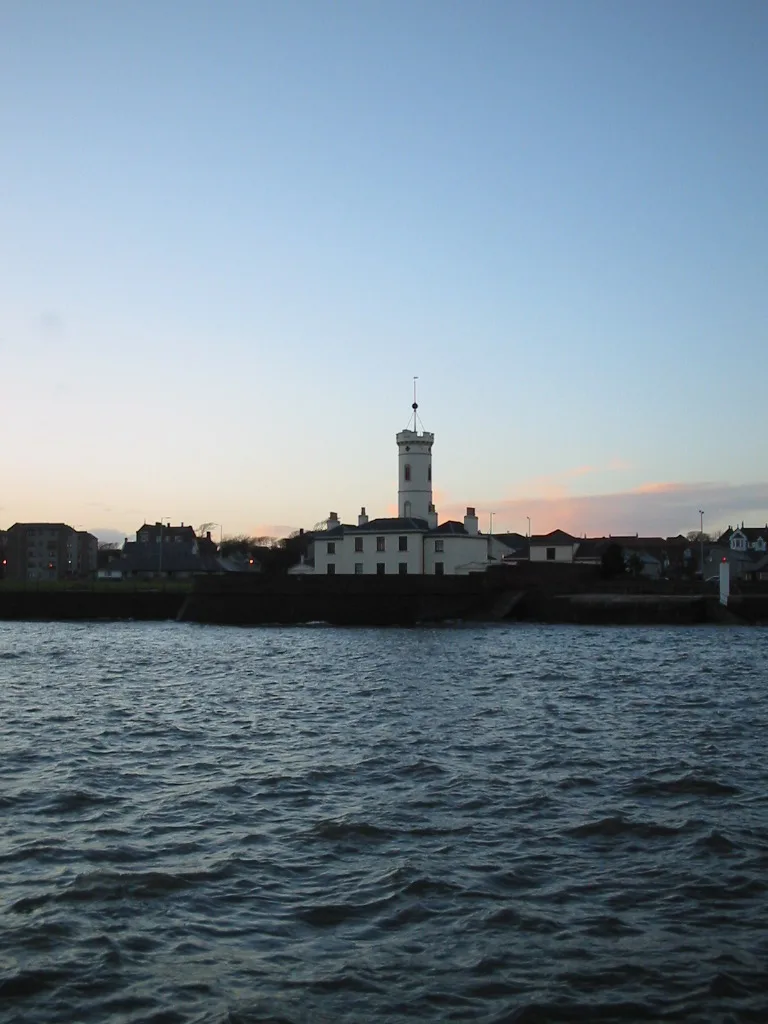
Arbroath Signal Tower Museum
Arbroath Signal Tower Museum — Museum in Angus, Scotland, United Kingdom.
 📷 3
📷 3Museums · Central Scotland
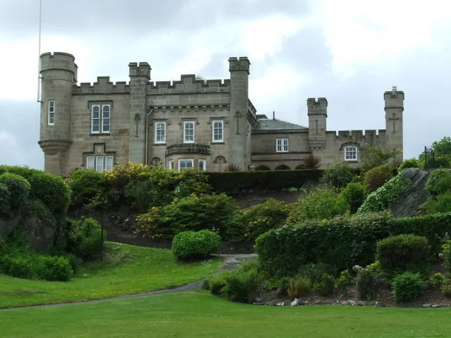
Castle House Museum
Castle House Museum — museum in Dunoon, Argyll and Bute, Scotland, UK.
.jpg?width=1200) 📷 3
📷 3Museums · Central Scotland
Highland Mary Statue
Highland Mary Statue — Public artwork (statue).
 📷 4
📷 4Museums · Central Scotland
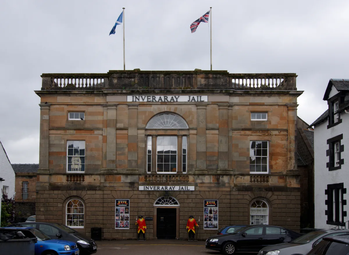
Inveraray Jail
Inveraray Jail — category A listed building, museum in Argyll and Bute, Scotland, UK.
Frequently asked questions
- Where is Township, Auchindrain, Loch Fyne?
- Township, Auchindrain, Loch Fyne is in the Scottish Highlands, United Kingdom (postcode PA32 8WD).
- What is Township, Auchindrain, Loch Fyne?
- Township, Auchindrain, Loch Fyne in Scotland Islands, United Kingdom.
- How do I get to Township, Auchindrain, Loch Fyne?
- Drivers can use postcode PA32 8WD.
- How do I get to Township, Auchindrain, Loch Fyne?
- Drivers can navigate to postcode PA32 8WD. It sits within the Argyll, Bute and South Lochaber parliamentary constituency.