
Gardens · North Wales
Town Hill
Also known as: Allt y Dref, Wrecsam
In or near Wrexham.
Town Hill — a garden in wales-north, United Kingdom.

Jaggery — CC BY-SA 2.0 via Wikimedia Commons licence

Plan your visit
- Typical visit
- 1 h–2.5 h
- Best time of year
- Spring & summer (Apr–Sep)
- Nearest railway station
- Wrexham Central · 0.4 km
- Dog-friendly
Getting there & planning your visit
To visit Town Hill, you can take a train to Wrexham Central station, which is 0.4 km away. The postcode for navigation is LL13 8AD. Entry details are not specified, so please check in advance.
About
Town Hill is a garden of interest in wales-north, United Kingdom — drawn from open-data sources for visitor reference. See the linked Wikipedia article for the full description.
Photo gallery
Protected designations
- Site of Special Scientific Interest: River Dee (England) SSSI
Designations sourced from Natural England open data under OGL v3.
From the Wikipedia article
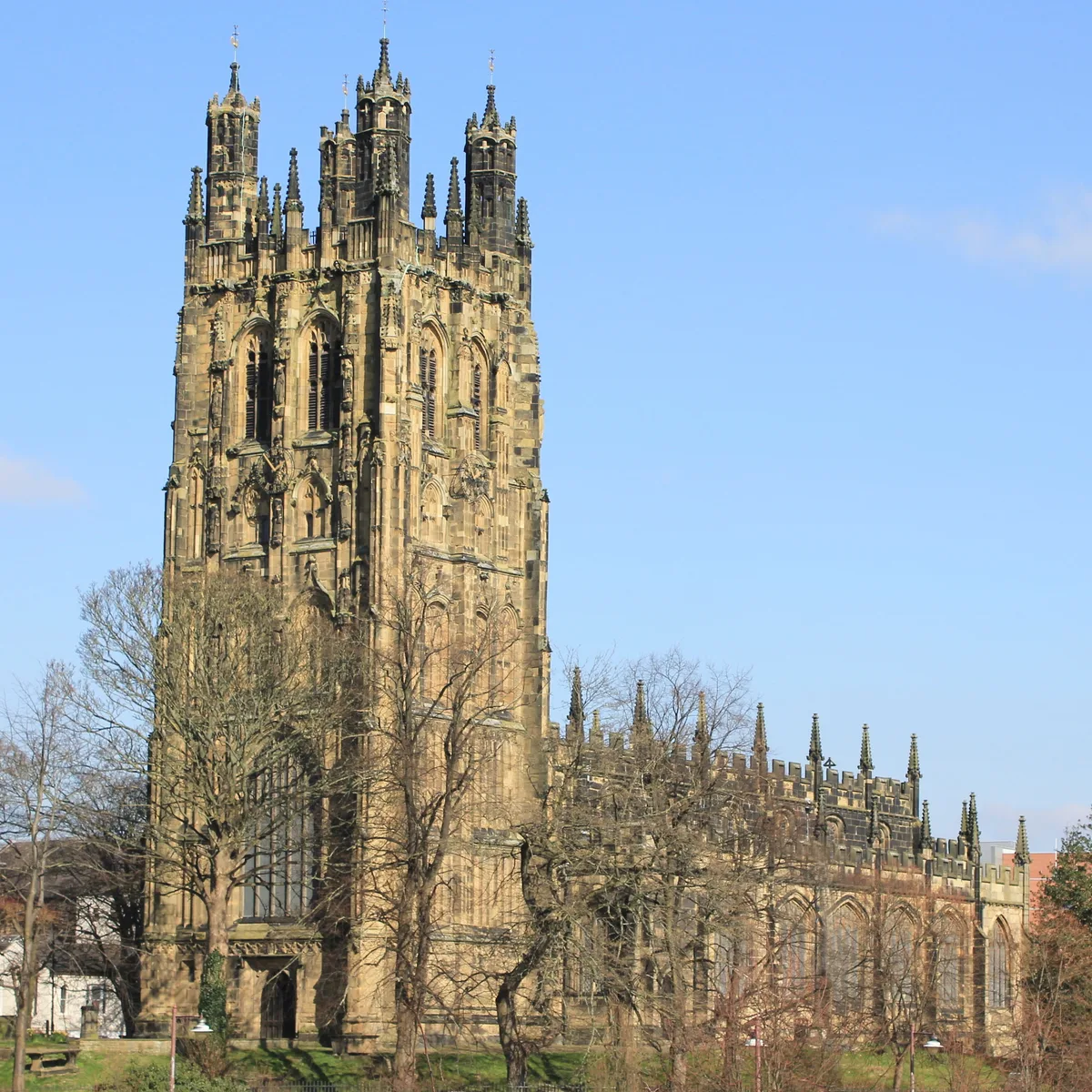
Town Hill (Welsh: Allt y Dref) is a street in Wrexham city centre, North Wales. It contains the listed buildings of Nos. 5, 7, and 9. The street is located on higher ground, just to the north of St Giles' Church. It forms a cross-roads junction at the centre of Wrexham with Church Street, High Street and Hope Street. It is now at the centre of Wrexham's nightlife district. The street was in medieval times possibly home to burgess plots, with houses and shops. In the 17th century it was referred to as Bridge Street (which now refers to an adjacent street), then later sometimes classed as part of neighbouring High Street. The earliest mention of the name Town Hill is to 1801. Town Hill was also the site of Wrexham's old town hall (or shire hall), dating from a 16th-century building, which was then re-built in the 18th century. The old town hall and buildings along its adjacent Back Chamber Street, were demolished in 1940 as part of a widening of Town Hill to alleviate traffic congestion, likely due to nearby High Street serving as the town's then bus terminal. The site where the town hall stood is now a widened section of Town Hill between the cross-roads junction and the junction with Abbot Street.
Excerpt from Wikipedia under CC BY-SA 4.0. See the source article linked in Sources below.
Background
History
to the right.]] The street is located on higher ground, just to the north of St Giles' Church. It forms part of a crossroads at the centre of Wrexham, between Church Street, High Street and Hope Street. The street widens from its junction with Abbot Street to the crossroads junction. This was the site of the old town hall, built in 1713 and demolished in 1940. Many of the buildings lining the street are listed buildings. Long, narrow, possibly medieval, burgess plots had been identified on the street, highlighting the street's medieval connections, forming part of Wrexham's medieval core. The plots were characterised to be dense and compact, upon which stood an intermingling of houses and…
Sourced from Wikipedia under CC BY-SA 4.0.
- Coordinates
- 53.0447, -2.9941
- District
- Wrexham
- Parish
- Offa
- Postcode
- LL13 8AD
- Parliamentary constituency
- Wrexham
- Nearest railway station
- Wrexham Central — 0.4 km
- Official site
- thegreatbritainguide.com
Sources
- wikidata: Q114325674 (CC0)
- wikipedia: Town Hill, Wrexham (CC BY-SA 4.0)
Other places nearby
No.9 (Dodman's), Town Hill (S Side)
Gardens · 0.0 km
No.7 Town Hill (s Side)
Gardens · 0.0 km

No.5 Town Hill (S Side)
Gardens · 0.0 km

No 10, Church Street (w Side)
Gardens · 0.1 km
8, Church Street, Offa, Wrexham
Gardens · 0.1 km
No 9, Church Street (w Side)
Gardens · 0.1 km
No 7, Church Street (w Side)
Gardens · 0.1 km
No 3 Church Street (E Side)
Gardens · 0.1 km
No 4, Church Street (E Side)
Gardens · 0.1 km
No.6 (Formerly Listed as No.8) Temple Row N Side)
Gardens · 0.1 km

Tomb of Elihu Yale
Follies · 0.1 km
St Giles' Church
Abbeys & priories · 0.1 km
Nearby
📷 3Gardens · North Wales
No.9 (Dodman's), Town Hill (S Side)
No.9 (Dodman's), Town Hill (S Side) — a garden in wales-north, United Kingdom.
📷 3Gardens · North Wales
No.7 Town Hill (s Side)
No.7 Town Hill (s Side) — a garden in wales-north, United Kingdom.
📷 3Gardens · North Wales
No.5 Town Hill (S Side)
No.5 Town Hill (S Side) — a garden in wales-north, United Kingdom.
📷 3Gardens · North Wales
No 10, Church Street (w Side)
No 10, Church Street (w Side) — a garden in wales-north, United Kingdom.
📷 3Gardens · North Wales
8, Church Street, Offa, Wrexham
8, Church Street, Offa, Wrexham — a garden in wales-north, United Kingdom.
📷 3Gardens · North Wales
No 9, Church Street (w Side)
No 9, Church Street (w Side) — a garden in wales-north, United Kingdom.
Where to eat & stay near Town Hill
Places to stay
 📷 5
📷 5Hotels · North Wales
The Wynnstay Arms Hotel - Marston's Inn
The Wynnstay Arms Hotel - Marston's Inn — a hotel in wales north. Brand: Marston's Inn.
 📷 4
📷 4Caravan parks · North Wales
Plassey Holiday Park
Plassey Holiday Park — a caravan park in wales north.
 📷 5
📷 5 📷 5
📷 5 📷 5
📷 5Caravan parks · North West England
Bank Farm Caravan Park
Bank Farm Caravan Park — a caravan park in wales north.
 📷 5
📷 5Places to eat & drink
 📷 5
📷 5 📷 5
📷 5Historic pubs · North Wales
Saith Seren
Saith Seren in Wales North, United Kingdom.
 📷 7
📷 7 📷 5
📷 5 📷 7
📷 7Restaurants · North Wales
The Crown Inn
The Crown Inn — a restaurant in wales north.
 📷 7
📷 7More gardens in this region
.jpg?width=1200) 📷 3
📷 3Gardens · North Wales
Bodrhyddan Hall
Bodrhyddan Hall — Grade I listed building in the United Kingdom.
 📷 4
📷 4 📷 3
📷 3 📷 3
📷 3Frequently asked questions
- Where is Town Hill?
- Town Hill is in North Wales, United Kingdom (postcode LL13 8AD), in the parish of Offa.
- What is Town Hill?
- Town Hill — a garden in wales-north, United Kingdom.
- How do I get to Town Hill?
- The nearest railway station is Wrexham Central, about 0.4 km away. Drivers can use postcode LL13 8AD.
- Is Town Hill a protected site?
- Yes — Town Hill is part of the River Dee (England) SSSI Site of Special Scientific Interest.
- How do I get to Town Hill?
- The nearest railway station is Wrexham Central, about 0.4 km away. Drivers can navigate to postcode LL13 8AD.