
Natural landmarks · South East England
Tomlinscote School
In or near Windlesham.
Tomlinscote School — a school heritage in england-south-east, United Kingdom.

don cload — CC BY-SA 2.0 via Wikimedia Commons licence

Plan your visit
- Typical visit
- 1 h–2 h
- Nearest railway station
- Frimley · 1.9 km
- Free entry
- Dog-friendly
About
Tomlinscote School is a school heritage located in england-south-east, United Kingdom. Catalogued from Wikidata's UK heritage register; see the Wikipedia article for further historical and visitor details.
Photo gallery
See it from the streetimagery from 2020
Imagery © Mapillary contributors, CC BY-SA 4.0
Protected designations
- Site of Special Scientific Interest: Basingstoke Canal SSSI
Designations sourced from Natural England open data under OGL v3.
Place summary
Tomlinscote School is located in South-East England. It is an educational institution providing secondary education and is known for its comprehensive curriculum and facilities.
AI-generated from the structured facts on this page (operator, designation, listing, era). Not a substitute for visiting.
Background
History
Tomlinscote was opened in 1970 as Surrey's first purpose-built comprehensive. Students enter Tomlinscote at the age of 11 years from local junior, primary and independent Preparatory feeder schools, for example, Lakeside Primary School, Ravenscote Junior School, Pirbright Primary School, Crawley Ridge Junior School or The Grove Primary School. In March 2011 Surrey County Council proposed that Tomlinscote take over the Kings International College and that years 7, 8 and 9 be based on the Kings site and 10, 11 and Sixth Form on the Tomlinscote site. Initial meetings with parents at both schools suggested united opposition to the plans and sparked a heated internet debate. In the end, after a…
Sourced from Wikipedia under CC BY-SA 4.0.
- Coordinates
- 51.3204, -0.7232
- County
- Surrey
- District
- Surrey Heath
- Parish
- Surrey Heath, unparished area
- Postcode
- GU16 8PY
- Parliamentary constituency
- Surrey Heath
- Established
- 1970
- Nearest railway station
- Frimley — 1.9 km
Sources
- wikidata: Q7819016 (CC0)
- wikipedia: Tomlinscote School (CC BY-SA 4.0)
Other places nearby

Frimley Milestone
Memorials & monuments · 1.2 km

Frimley
Museums · 1.3 km

Tekels Park
Parks · 1.3 km

Pine Ridge Ten-pin Bowling Alley
Natural landmarks · 1.6 km

Deepcut
Villages · 1.9 km

Lakeside Leisure Complex
Hotels · 1.9 km

Camberley
Museums · 2.1 km

Basingstoke Canal Towpath
Mountain bike trails · 2.2 km

Camberley Theatre
Open-air theatres · 2.4 km
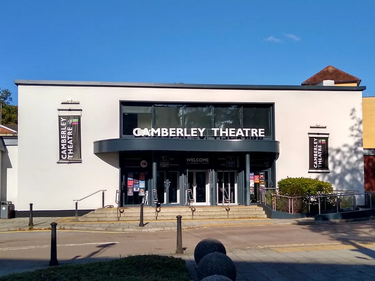
Camberley Theatre
Theatres · 2.4 km

Collingwood Mount
Mountains & hills · 2.4 km

The Obelisk
Archaeological sites · 2.5 km
Nearby
📷 5Memorials & monuments · South East England
Frimley Milestone
Frimley Milestone — a memorial in england-south-east, United Kingdom.
📷 5Museums · South East England
Frimley
Frimley — a museum in england-south-east, United Kingdom.
📷 5📷 5Natural landmarks · South East England
Pine Ridge Ten-pin Bowling Alley
Pine Ridge Ten-pin Bowling Alley — a other in england-south-east, United Kingdom.
📷 5📷 6Hotels · South East England
Lakeside Leisure Complex
The Lakeside Leisure Complex is a hotel, conferencing, entertainment and associated leisure complex in Frimley Green in west Surrey, England. It hosted the open/men's and women's BDO World Darts Champ
Where to eat & stay near Tomlinscote School
Places to stay
📷 6Hotels · South East England
Lakeside Leisure Complex
The Lakeside Leisure Complex is a hotel, conferencing, entertainment and associated leisure complex in Frimley Green in west Surrey, England. It hosted the open/men's and women's BDO World Darts Champ
 📷 5
📷 5Caravan parks · South East England
Basingstoke Canal Caravan and Camp Site
Basingstoke Canal Caravan and Camp Site — a caravan park in england south east.
 📷 5
📷 5Caravan parks · South East England
Mytchett Farm (Mobile Home Park)
Mytchett Farm (Mobile Home Park) — a caravan park in england south east.
 📷 5
📷 5Hotels · South East England
Pennyhill Park
Pennyhill Park — a hotel in england south east.
 📷 5
📷 5Campsites · South East England
Stoney Castle Camping Ground
Stoney Castle Camping Ground — a campsite in england south east.
 📷 5
📷 5Campsites · South East England
Furze Hill Camping Ground
Furze Hill Camping Ground — a campsite in england south east.
Places to eat & drink
 📷 7
📷 7 📷 5
📷 5Historic pubs · South East England
The Tumble Down Dick Pub
The Tumble Down Dick Pub in England South East, United Kingdom.
 📷 5
📷 5 📷 5
📷 5Restaurants · South East England
Peacock Farm
Peacock Farm — a restaurant in england south east.
 📷 7
📷 7Historic pubs · South East England
The Queen's Oak
The Queen's Oak in England South East, United Kingdom.
 📷 5
📷 5Historic pubs · South East England
Thatched Tavern Public House
Thatched Tavern Public House in England South East, United Kingdom.
More natural landmarks in this region
 📷 5
📷 5Natural landmarks · South East England
Queen Victoria Statue
Queen Victoria Statue — Public artwork (statue) by Victor Ferdinand Franz Eugen Gustaf Adolf Constantin Friedrich of Hohenlohe-Langenburg.
 📷 5
📷 5Natural landmarks · South East England
Silent Pool
Silent Pool — lake in the United Kingdom.
 📷 5
📷 5Natural landmarks · South East England
Thomas & Jane Holloway Statue
Thomas & Jane Holloway Statue — Public artwork (statue) by Victor Ferdinand Franz Eugen Gustaf Adolf Constantin Friedrich of Hohenlohe-Langenburg.
 📷 5
📷 5Natural landmarks · South East England
Polesden Lacey
Polesden Lacey — a other in england-london, United Kingdom.
Frequently asked questions
- Where is Tomlinscote School?
- Tomlinscote School is in Surrey, South-East England, United Kingdom (postcode GU16 8PY), in the parish of Surrey Heath, unparished area.
- What is Tomlinscote School?
- Tomlinscote School — a school heritage in england-south-east, United Kingdom.
- How do I get to Tomlinscote School?
- The nearest railway station is Frimley, about 1.9 km away. Drivers can use postcode GU16 8PY.
- When was Tomlinscote School built?
- Built or established in 1970.
- Is Tomlinscote School a protected site?
- Yes — Tomlinscote School is part of the Basingstoke Canal SSSI Site of Special Scientific Interest.
- Is Tomlinscote School free to visit?
- Yes, Tomlinscote School is free to enter.
- How do I get to Tomlinscote School?
- The nearest railway station is Frimley, about 1.9 km away. Drivers can navigate to postcode GU16 8PY.