Natural landmarks · Scottish Lowlands
Tighvein
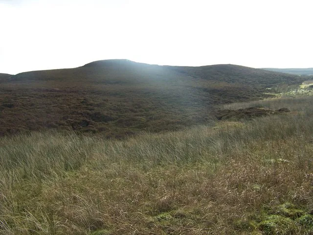
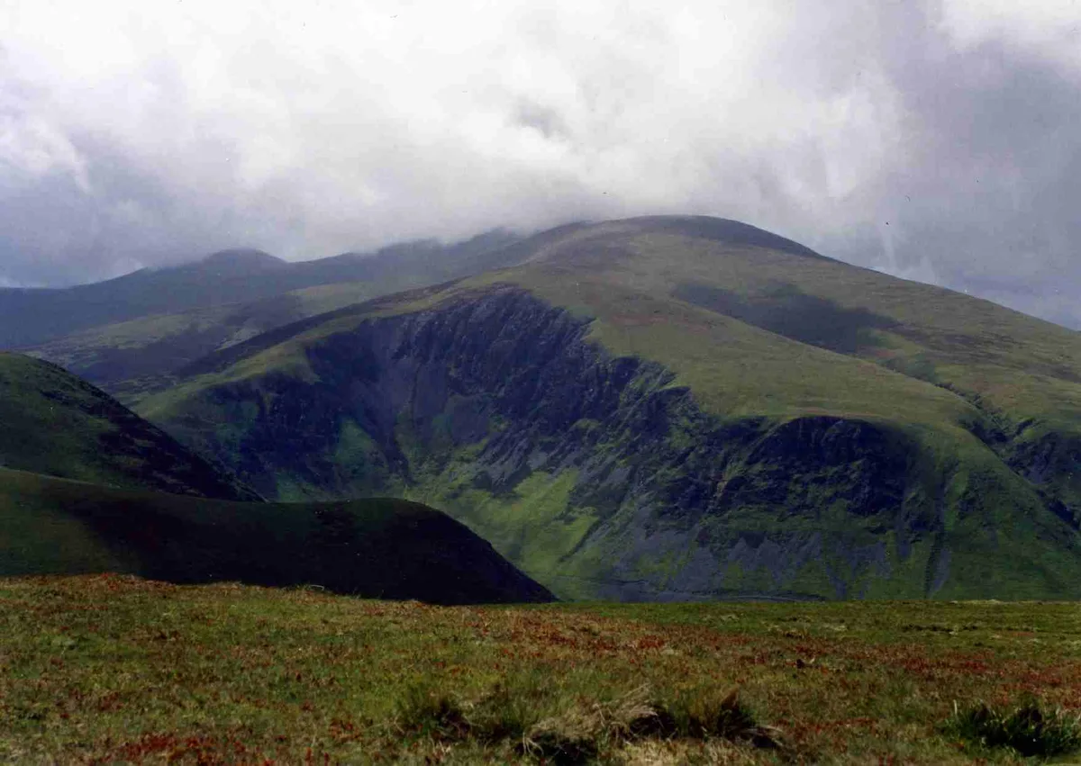
Tighvein — mountain in North Ayrshire, Scotland, UK.

Wikimedia Commons contributors — see linked file page for photographer and licence licence
Plan your visit
- Typical visit
- 1 h–2 h
- Free entry
- Dog-friendly
About
Tighvein is a named natural landmark in the United Kingdom. Wikidata describes it as: "mountain in North Ayrshire, Scotland, UK". Coordinates: 55.4992°, -5.1717°.
Photo gallery
From the Wikipedia article
Tighvein (Scottish Gaelic: Taobh Bheinn) is a hill above Lamlash on the Isle of Arran in western Scotland. It is a Marilyn (a hill with topographic prominence of at least 150m) and the highest point on the south-eastern section of the island, south-east of the pass of Monamore Glen. Two miles from the nearest road, the top is a heathery, boggy moor, almost entirely ringed by thick forestry plantations. It is rarely climbed as there are no paths to the top.
Excerpt from Wikipedia under CC BY-SA 4.0. See the source article linked in Sources below.
- Coordinates
- 55.4992, -5.1717
- Address
- Isle of Arran, North Ayrshire, Scotland
Sources
- wikidata: Q7801662 (CC0)
- wikipedia: Tighvein (CC BY-SA 4.0)
- commons: Tighvein.jpg (CC BY-SA 4.0)
Other places nearby
Loading nearby places…
Nearby
 📷 3
📷 3Mountains & hills · Scottish Lowlands
Tighvein
Tighvein — Named summit at 458 m.
 📷 5
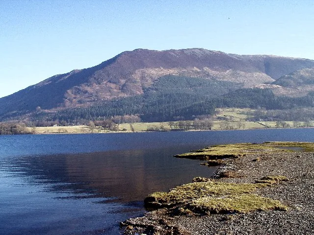
📷 5Lakes · Scottish Highlands
Urie Loch
Urie Loch — a lake in scotland highlands.

Archaeological sites · Scottish Lowlands
Carn Ban
Carn Ban — a archaeological in scotland-lowlands, United Kingdom.
 📷 5
📷 5Archaeological sites · Scottish Lowlands
Carn Ban
Carn Ban — archaeological in scotland lowlands.
 📷 3
📷 3Archaeological sites · Scottish Highlands
Meallach's Grave
Meallach's Grave — a archaeological in scotland-highlands, United Kingdom.
 📷 5
📷 5Archaeological sites · Scottish Highlands
Meallach's Grave
Meallach's Grave — archaeological in scotland highlands.
Where to eat & stay near Tighvein
Places to stay
 📷 5
📷 5Caravan parks · Scottish Highlands
Middleton's Caravan & Camping Park
Middleton's Caravan & Camping Park — a caravan park in scotland highlands.
 📷 5
📷 5Caravan parks · Scottish Highlands
Park Avenue Caravan Site
Park Avenue Caravan Site — a caravan park in scotland highlands.
 📷 5
📷 5Campsites · Scottish Lowlands
Seal Shore Camping
Seal Shore Camping — a campsite in scotland lowlands.
 📷 5
📷 5Campsites · Scottish Highlands
Bridgend Campsite
Bridgend Campsite — a campsite in scotland highlands.
 📷 5
📷 5Campsites · Scottish Highlands
Balmichael Glamping
Balmichael Glamping — a campsite in scotland highlands.
 📷 5
📷 5Hostels · Scottish Highlands
Brodick Bunkhouse
Brodick Bunkhouse — a hostel in scotland highlands.

More natural landmarks in this region
 Flagship📷 3
Natural landmarks · Scottish Lowlands
Bassenthwaite Lake
Bassenthwaite Lake — lake in Cumbria, England, UK.
 Flagship📷 3
Natural landmarks · Scottish Lowlands
Loch Enoch
Loch Enoch — lake in Dumfries and Galloway, Scotland, UK.
 📷 5
📷 5Natural landmarks · Scottish Lowlands
Annandale Water
Annandale Water — lake in Dumfries and Galloway, Scotland, UK.
 📷 3
📷 3Natural landmarks · Scottish Lowlands
Bakestall
Bakestall — mountain in United Kingdom.
Frequently asked questions
- Where is Tighvein?
- Tighvein is in the Scottish Lowlands, United Kingdom.
- What is Tighvein?
- Tighvein — mountain in North Ayrshire, Scotland, UK.
- How do I get to Tighvein?
- Its coordinates are 55.4992°, -5.1717°.
- Is Tighvein free to visit?
- Yes, Tighvein is free to enter.