
Historic churches · Central Scotland
Thornhill
Also known as: Cnoc na Driseig
In or near Kippen.
Thornhill in Scotland Islands, United Kingdom.

John Ferguson — CC BY-SA 2.0 via Wikimedia Commons licence

Plan your visit
- Typical visit
- 30 min–1 h
- Free entry
About
Thornhill is a place of interest in Scotland Islands, United Kingdom — drawn from open-data sources for visitor reference. See the linked Wikipedia article for the full description.
Photo gallery
From the Wikipedia article
Thornhill (Scottish Gaelic: Cnoc na Driseig) is a village in the Scottish council area of Stirling. It lies 14 miles (23 kilometres) northwest of Stirling itself, south of Callander, east of Aberfoyle and west of Doune. Historically part of Perthshire, the village is in the civil parish of Kincardine and the church parish of Norrieston (separated ecclesiastically from Kincardine in 1877), named from the much earlier village of Norrieston, which lay a little to the east of Thornhill. It is situated on a slight elevation at the western edge of the Carse of Stirling, an area of flat agricultural land which forms the upper part of the floodplain of the River Forth. Much of the land within the Carse was bogland until the late 18th century when concerted efforts were made to clear away the peat and expose the fertile clay soil below. Flanders Moss, the largest remaining area of lowland bog in Scotland and a site of special scientific interest, lies to the south west. The village lies on a traditional east–west route from Dunblane to Aberfoyle which passes the Old Post Cottage and was planned and founded at the end of the seventeenth century. The 2001 census population for the area covered by the Thornhill and Blairdrummond Community Council is 1,109. Thornhill has one primary school which in the session 2009-2010 had 62 pupils from the village and surrounding area. The ruins of a possible Iron Age broch lie at Boquhapple about one mile (1.5 kilometres) north of Thornhill. A mound of rubble about 30 metres (100 ft) in diameter and the earthworks are all that remain today. The name Thornhill is supposedly derived from the thorn covered ridge on which the village is situated. Thornhill was founded as an early planned village in 1696 and most buildings date from the 18th, 19th and 20th century. It is believed to have the smallest Masonic Lodge in Scotland. Thornhill has a community hall with a main hall, meeting rooms, kitchen, changing rooms with showers and parking. The…
Excerpt from Wikipedia under CC BY-SA 4.0. See the source article linked in Sources below.
- Coordinates
- 56.1694, -4.1517
- District
- Stirling
- Postcode
- FK8 3QR
- Parliamentary constituency
- Stirling and Strathallan
Sources
- wikidata: Q7796432 (CC0)
- wikipedia: Thornhill, Stirling (CC BY-SA 4.0)
Other places nearby

Norrieston Parish Church and Churchyard, Main Street, Thornhill
Historic churches · 0.8 km

Netherton Bridge
Historic bridges · 0.8 km

East Moss-Side Bridge
Historic bridges · 1.0 km

Boquhapple
Other places · 1.1 km

Auchinsalt, broch site
Archaeological sites · 1.9 km

Flanders Moss raised walkway
Natural landmarks · 2.2 km

Viewing Tower
Viewpoints · 2.3 km

Brae of Boquhapple, Broch
Archaeological sites · 2.6 km

Brae of Boquhapple, Broch
Archaeological sites · 2.6 km

Keir, Easter Tarr
Vineyards · 3.0 km

Flanders Moss National Nature Reserve
Forests & woodlands · 3.2 km

Coldoch Broch
Archaeological sites · 3.4 km
Nearby
📷 5Historic churches · Central Scotland
Norrieston Parish Church and Churchyard, Main Street, Thornhill
Norrieston Parish Church and Churchyard, Main Street, Thornhill — category B listed building-listed church in scotland-central, United Kingdom.
📷 5Historic bridges · Central Scotland
Netherton Bridge
Netherton Bridge — category C listed building-listed bridge in scotland-central, United Kingdom.
📷 5Historic bridges · Central Scotland
East Moss-Side Bridge
East Moss-Side Bridge — category C listed building-listed bridge in scotland-central, United Kingdom.
📷 3📷 3Archaeological sites · Central Scotland
Auchinsalt, broch site
Auchinsalt, broch site — a archaeological in scotland-central, United Kingdom.
📷 3Natural landmarks · Central Scotland
Flanders Moss raised walkway
Flanders Moss raised walkway — a other in scotland-central, United Kingdom.
Where to eat & stay near Thornhill
Places to stay
 📷 5
📷 5Caravan parks · Central Scotland
Ashmill Caravan Site
Ashmill Caravan Site — a caravan park in scotland central.
 📷 5
📷 5Campsites · Central Scotland
Blair Drummond Caravan Park
Blair Drummond Caravan Park — a campsite in scotland central.
 📷 5
📷 5Caravan parks · Central Scotland
Callander Woods
Callander Woods — a caravan park in scotland central.
 📷 5
📷 5Campsites · Central Scotland
Keltie Bridge
Keltie Bridge — a campsite in scotland central.
 📷 7
📷 7B&Bs · Central Scotland
Abbotsford Lodge
Abbotsford Lodge — a bed-and-breakfast in scotland central.
 📷 5
📷 5Places to eat & drink
 📷 6
📷 6Historic pubs · Central Scotland
Westerton Arms, 34 Henderson Street, Bridge of Allan
Westerton Arms, 34 Henderson Street, Bridge of Allan in Scotland Central, United Kingdom.
 📷 6
📷 6Historic pubs · Central Scotland
The Gothenburg
The Gothenburg in Scotland Islands, United Kingdom.
 📷 7
📷 7Historic pubs · Central Scotland
Johnstone Arms Hotel, 48 Stirling Street, Alva
Johnstone Arms Hotel, 48 Stirling Street, Alva in Scotland Central, United Kingdom.
 📷 5
📷 5Historic pubs · Central Scotland
Dennyloanhead
Dennyloanhead in Scotland Islands, United Kingdom.
More places in this region
 📷 5
📷 5Historic churches · Central Scotland
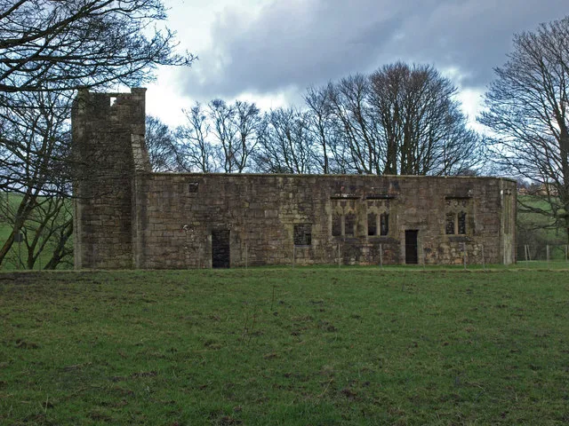
Castle Semple Collegiate Church
Castle Semple Collegiate Church — church building in Renfrewshire, Scotland, UK.
 📷 3
📷 3Historic churches · Central Scotland
Chapel of St Fyndoca, Inishail
Chapel of St Fyndoca, Inishail — architectural structure in Argyll and Bute, Scotland, UK.
 📷 3
📷 3Historic churches · Central Scotland
Chapel of St. Oran, Colonsay
Chapel of St. Oran, Colonsay — chapel on Colonsay, Argyll and Bute, Scotland, UK.
 📷 3
📷 3Historic churches · Central Scotland
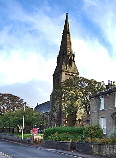
Church of St Mary the Virgin, Arbroath
Church of St Mary the Virgin, Arbroath — church in Arbroath, UK.
Frequently asked questions
- Where is Thornhill?
- Thornhill is in the Scottish Highlands, United Kingdom (postcode FK8 3QR).
- What is Thornhill?
- Thornhill in Scotland Islands, United Kingdom.
- How do I get to Thornhill?
- Drivers can use postcode FK8 3QR.
- Is Thornhill free to visit?
- Yes, Thornhill is free to enter.
- How do I get to Thornhill?
- Drivers can navigate to postcode FK8 3QR. It sits within the Stirling and Strathallan parliamentary constituency.