
Historic houses · North East England
Thirlstane House
In or near Coldstream.
Thirlstane House — house in Scottish Borders, Scotland, UK.

Wikimedia Commons contributors — see linked file page for photographer and licence licence

Plan your visit
- Typical visit
- 1 h–2 h
- Family-friendly
- Limited wheelchair access
About
Thirlstane House is a historic house in the United Kingdom — typically a country seat, manor, or town house with notable architecture or history. Heritage designation: category B listed building. Wikidata describes it as: "house in Scottish Borders, Scotland, UK". Coordinates: 55.5528°, -2.3132°.
Photo gallery
Place summary
Thirlstane House is a historic house located in central Scotland, postcode TD5. It is designated as a category B listed building, reflecting its architectural and historical significance.
AI-generated from the structured facts on this page (operator, designation, listing, era). Not a substitute for visiting.
- Coordinates
- 55.5528, -2.3132
- District
- Scottish Borders
- Postcode
- TD5 8BX
- Parliamentary constituency
- Berwickshire, Roxburgh and Selkirk
Sources
- wikidata: Q17850729 (CC0)
- commons: Thirlstane House rear.jpg (CC BY-SA 4.0)
Other places nearby

Thirlestane Tower (Site of)
Archaeological sites · 0.1 km

Bridge, Cherrytrees Road
Historic bridges · 0.2 km

Yetholm Loch
Lakes · 0.4 km

Loch Tower (Site of)
Archaeological sites · 0.6 km

Thirlestane Hill
Mountains & hills · 0.8 km

Yetholm Loch
Reservoirs & lochs · 0.9 km

Worm's Hole
Natural landmarks · 1.4 km

Old Graden Hill
Mountains & hills · 1.6 km

Wauchope Monument, Town Yetholm
Memorials & monuments · 1.8 km
Wauchope Monument
Memorials & monuments · 1.8 km

Bridge Over The Stank
Historic bridges · 1.8 km

Yetholm Law
Mountains & hills · 1.8 km
Nearby
📷 3Archaeological sites · North East England
Thirlestane Tower (Site of)
Thirlestane Tower (Site of) — a archaeological in scotland-central, United Kingdom.
📷 5Historic bridges · North East England
Bridge, Cherrytrees Road
Bridge, Cherrytrees Road — category C listed building-listed bridge in scotland-central, United Kingdom.
📷 5📷 3Archaeological sites · North East England
Loch Tower (Site of)
Loch Tower (Site of) — a archaeological in scotland-central, United Kingdom.
📷 5Mountains & hills · North East England
Thirlestane Hill
Thirlestane Hill — mountain in scotland central. Elevation: 237 m.
📷 5Reservoirs & lochs · North East England
Yetholm Loch
Yetholm Loch in England North East, United Kingdom.
Where to eat & stay near Thirlstane House
Places to stay
 📷 7
📷 7Hotels · North East England
The Plough Hotel
The Plough Hotel — a hotel in scotland central.
 📷 5
📷 5Caravan parks · North East England
Kirkfield Caravan Site
Kirkfield Caravan Site — a caravan park in scotland central.
 📷 7
📷 7B&Bs · North East England
Mill House
Mill House — a bed-and-breakfast in scotland central.
 📷 5
📷 5Hostels · North East England
Friends Of Nature House
Friends Of Nature House — a hostel in scotland central.
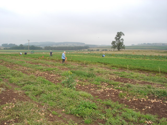 📷 5
📷 5Caravan parks · North East England
Crookhouse Farm Campsite
Crookhouse Farm Campsite — a caravan park in scotland central.
 📷 7
📷 7Places to eat & drink
 📷 4
📷 4Historic pubs · Scottish Lowlands
Newcastle Arms
Newcastle Arms — Historic pub — listed building or notable heritage status.
 📷 7
📷 7 📷 5
📷 5Historic pubs · Scottish Lowlands
The Masons Arms
The Masons Arms in Scotland Lowlands, United Kingdom.
 📷 7
📷 7Historic pubs · Scottish Lowlands
The Victoria Hotel
The Victoria Hotel in Scotland Lowlands, United Kingdom.
More historic houses in this region
 📷 3
📷 3Historic houses · North East England
Wayside cross known as Jenny Bradley 1000m north west of Bloworth Crossing on Greenhow Moor
Wayside cross known as Jenny Bradley 1000m north west of Bloworth Crossing on Greenhow Moor — a Grade II*-listed historic house in england-yorkshire, United Kingdom.
 📷 3
📷 3Historic houses · North East England
Crackpot Hall
Crackpot Hall — a historic house in england-north-west, United Kingdom.
 📷 3
📷 3Historic houses · North East England
Bunton Mine shop
Bunton Mine shop — a historic house in england-north-west, United Kingdom.
 📷 3
📷 3Historic houses · North East England
Blakethwaite Mine
Blakethwaite Mine — a historic house in england-north-west, United Kingdom.
Frequently asked questions
- Where is Thirlstane House?
- Thirlstane House is in central Scotland, United Kingdom (postcode TD5 8BX).
- What is Thirlstane House?
- Thirlstane House — house in Scottish Borders, Scotland, UK.
- How do I get to Thirlstane House?
- Drivers can use postcode TD5 8BX.
- Is Thirlstane House a listed building?
- Thirlstane House is officially recognised as category B listed building listed.
- How do I get to Thirlstane House?
- Drivers can navigate to postcode TD5 8BX. It sits within the Berwickshire, Roxburgh and Selkirk parliamentary constituency.