
Reservoirs & lochs · North West England
Thirlmere
In or near Grange in Borrowdale.
Thirlmere — reservoir in the United Kingdom.

Wikimedia Commons contributors — see linked file page for photographer and licence licence

Plan your visit
- Typical visit
- 1 h–2.5 h
- Nearest railway station
- Threlkeld Quarry · 8.5 km
- Free entry
- Dog-friendly
Getting there & planning your visit
To visit Thirlmere, the nearest railway station is Threlkeld Quarry, located 8.5 km away. Entry to the reservoir is free.
About
Thirlmere is a reservoir in the United Kingdom. It covers approximately 3 km². Wikidata describes it as: "reservoir in the United Kingdom". Coordinates: 54.5333°, -3.0667°.
Photo gallery
Protected designations
- Site of Special Scientific Interest: River Derwent and Tributaries SSSI
- Site of Special Scientific Interest: Armboth Fells SSSI
- Site of Special Scientific Interest: Thirlmere Woods SSSI
Designations sourced from Natural England open data under OGL v3.
From the Wikipedia article
Thirlmere is a reservoir in the Cumberland district in Cumbria and the English Lake District. The Helvellyn ridge lies to the east of Thirlmere. To the west of Thirlmere are a number of fells; for instance, Armboth Fell and Raven Crag both of which give views of the lake and of Helvellyn beyond. The reservoir runs roughly south to north and is bordered on the eastern side for much of its length by the A591 road and on the western side by a minor road. It occupies the site of a former natural lake: this had a fordable waist so narrow that it was (and is) sometimes regarded as two lakes. In the 19th century Manchester Corporation constructed a dam at the northern end, raising the water level, flooding the valley bottom, and creating a reservoir to provide the growing industrial city of Manchester with water supplies via the 96-mile-long (154 km) Thirlmere Aqueduct. The reservoir and the aqueduct still provide water to the Manchester area, but under the Water Act 1973 ownership passed to the North West Water Authority; as a result of subsequent privatisation and amalgamation they (and the catchment area surrounding the reservoir) are now owned and managed by United Utilities, a private sector water and wastewater company.
Excerpt from Wikipedia under CC BY-SA 4.0. See the source article linked in Sources below.
Background
Architecture
The first phase was to construct the aqueduct with a capacity of 10000 impgal a day, and to raise the level of Thirlmere by damming up its natural exit to the north. The engineer for the project was George Hill The original contractor suspended work in February 1887, and the contract had to be re-let. A further bill (supported by the Lake District Defence Society and Canon Rawnsley) was contemplated for 1889 to allow Thirlmere to be raised only 20 ft in the first instance, and defer improvement of the road on the west side of the lake but was not proceeded with. Boring of the tunnel under Dunmail Raise was completed in July 1890, and work then began on the dam at the north end of Thirlmere.…
Description
<blockquote>We now approached the lake of Wyburn, or Thirlmer, as it is sometimes called; an object every way suited to the ideas of desolation which surround it, No tufted verdure graces banks, nor hanging woods throw rich reflections on surface: but every form which it suggests, is savage, and desolate. </blockquote> Before the construction of the reservoir there was a smaller natural lake, known by various names including Leathes Water, Wythburn Water Thirle Water, and Thirlmere. (The Leathes were the lords of the manor, the valley in which the lake sat was Wythburndale (after the hamlet of Wythburn at its head), 'Thirlmere' probably is derived from " 'the lake with/at the narrowing'…
Sourced from Wikipedia under CC BY-SA 4.0.
- Coordinates
- 54.5333, -3.0667
- Address
- Lake District National Park, Cumbria, England
- Nearest railway station
- Threlkeld Quarry — 8.5 km
Sources
- wikidata: Q1480464 (CC0)
- wikipedia: Thirlmere (CC BY-SA 4.0)
- commons: Thirlmerelakemap.jpg (CC BY-SA 4.0)
Other places nearby

Armboth Fell
Natural landmarks · 1.4 km

Brown Rigg
Mountains & hills · 1.4 km

Armboth Fell
Mountains & hills · 1.5 km

Thirlspot Farm Camping
Campsites · 1.9 km

Bell Crags
Mountains & hills · 2.0 km
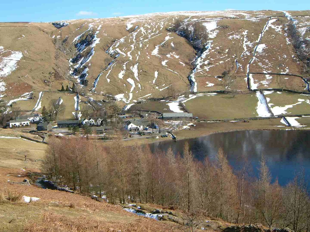
High Tove
Mountains & hills · 2.2 km

Watendlath Fell
Mountains & hills · 2.4 km
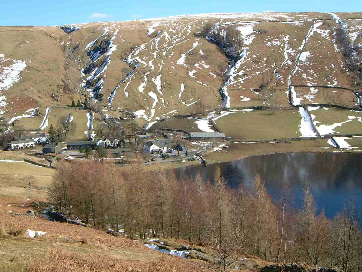
High Tove
Natural landmarks · 2.4 km

Fisherplace Gill Waterfall
Waterfalls · 2.6 km
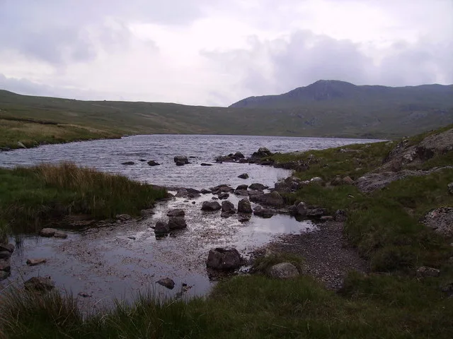
Blea Tarn
Natural landmarks · 2.6 km
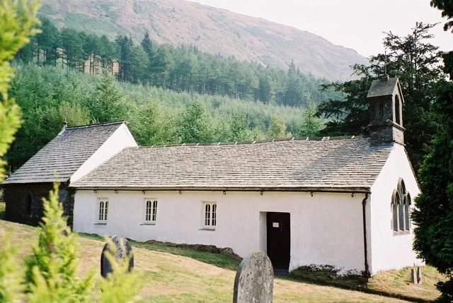
Wythburn Church
Historic churches · 2.7 km

Lower Man
Mountains & hills · 2.7 km
Nearby
📷 3📷 5Mountains & hills · North West England
Brown Rigg
Brown Rigg — mountain in england north east. Elevation: 461.6 m.
📷 5Mountains & hills · North West England
Armboth Fell
Armboth Fell — mountain in england north east. Elevation: 475 m.
📷 5Campsites · North West England
Thirlspot Farm Camping
Thirlspot Farm Camping — a campsite in england north east.
📷 5Mountains & hills · North West England
Bell Crags
Bell Crags — mountain in england north east. Elevation: 559.1 m.
📷 3Where to eat & stay near Thirlmere
Places to stay
📷 5Campsites · North West England
Thirlspot Farm Camping
Thirlspot Farm Camping — a campsite in england north east.
 📷 5
📷 5Caravan parks · North West England
High Bridge End Farm
High Bridge End Farm — a caravan park in england north east.
 📷 5
📷 5Campsites · North West England
National Trust Campsite
National Trust Campsite — a campsite in england north east.
 📷 5
📷 5Campsites · North West England
Keswick Scouts Ashness Hut
Keswick Scouts Ashness Hut — a campsite in england north east.
 📷 7
📷 7B&Bs · North West England
Yew Tree Farm
Yew Tree Farm — a bed-and-breakfast in england north east.
Hostels · North West England
Almond Lodge
Almond Lodge — a hostel in england north west.
Places to eat & drink
 📷 7
📷 7Cafés · North West England
Grange Bridge Cottage
Grange Bridge Cottage — a café in england north east.
 📷 7
📷 7Historic pubs · North West England
The Travellers Rest
The Travellers Rest in England North West, United Kingdom.
 📷 5
📷 5 📷 5
📷 5Historic pubs · North West England
Golden Rule Hotel
Golden Rule Hotel in England North West, United Kingdom.
 📷 5
📷 5Restaurants · North West England
Holbeck Ghyll Restaurant
Holbeck Ghyll Restaurant — a restaurant in england north west.
 📷 4
📷 4Restaurants · North West England
Holbeck Ghyll
Holbeck Ghyll is a restaurant located in Windermere, Cumbria, England. "The late 19th century building was once Lord Lonsdale's hunting lodge and only became a hotel in the 1970s. It won a Michelin st
More places in this region
 Flagship📷 5
Reservoirs & lochs · North West England
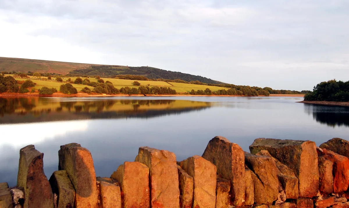
Yarrow Reservoir
Yarrow Reservoir — reservoir in Lancashire, England, UK.
.jpg?width=1200) 📷 3
📷 3Reservoirs & lochs · North West England
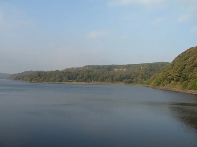
Abbey Village Reservoir
Abbey Village Reservoir — reservoir in Lancashire, England, UK.
 📷 3
📷 3Reservoirs & lochs · North West England
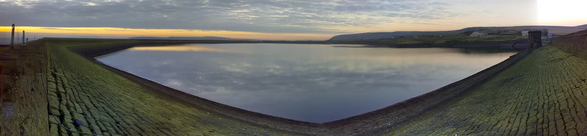
Anglezarke Reservoir
Anglezarke Reservoir — reservoir in Lancashire, England, UK.
 📷 3
📷 3Reservoirs & lochs · North West England
Ashworth Moor Reservoir
Ashworth Moor Reservoir — reservoir in Greater Manchester, England, UK.
Frequently asked questions
- Where is Thirlmere?
- Thirlmere is in North-West England, United Kingdom.
- What is Thirlmere?
- Thirlmere — reservoir in the United Kingdom.
- How do I get to Thirlmere?
- The nearest railway station is Threlkeld Quarry, about 8.5 km away. The nearest town is Grange in Borrowdale. Its coordinates are 54.5333°, -3.0667°.
- Is Thirlmere a protected site?
- Yes — Thirlmere is part of the River Derwent and Tributaries SSSI Site of Special Scientific Interest and the Armboth Fells SSSI Site of Special Scientific Interest.
- Is Thirlmere free to visit?
- Yes, Thirlmere is free to enter.