
Castles · East of England
Therfield
In or near Kelshall.
Therfield is a village and civil parish in the North Hertfordshire district of Hertfordshire, England. The village stands on a broad chalk ridge, about 2 miles (3 km) south-west of Royston. At its nor

N Chadwick — CC BY-SA 2.0 via Wikimedia Commons licence

Plan your visit
- Typical visit
- 1.5 h–3 h
- Nearest railway station
- Ashwell & Morden · 3.9 km
- Family-friendly
- Limited wheelchair access
About
Therfield is a village and civil parish in the North Hertfordshire district of Hertfordshire, England. The village stands on a broad chalk ridge, about 2 miles (3 km) south-west of Royston. At its northern end, the parish includes the common land of Therfield Heath, which adjoins the edge of Royston.
Photo gallery
From the Wikipedia article
Therfield is a village and civil parish in the North Hertfordshire district of Hertfordshire, England. The village stands on a broad chalk ridge, about 2 miles (3 km) south-west of Royston. At its northern end, the parish includes the common land of Therfield Heath, which adjoins the edge of Royston.
Excerpt from Wikipedia under CC BY-SA 4.0. See the source article linked in Sources below.
Background
History
There is evidence of prehistoric occupation in the area, particularly along the Icknield Way which forms the northern boundary of the parish. Five bowl barrows dating to the Bronze Age (c. 2000–700 BC) are clustered together on Therfield Heath. The Domesday Book of 1086 records 52 households at Therfield, including a priest, suggesting that Therfield was a parish by then. Therfield at that time was owned by Ramsey Abbey, 30 miles to the north. The manor of Therfield had been given to Ramsey Abbey in the early 11th century, and remained in its ownership until the dissolution of the abbey in 1539. The manor was then claimed by the crown, which subsequently granted it to St Paul's Cathedral in…
Description
Therfield Chapel was established as a congregation of Protestant dissenters (the "Independents") in 1836. The current chapel building was built in 1854. For a time the chapel was known as Therfield Congregational Church, being affiliated to the Congregational Union. When in 1966 the Congregational Union was replaced by a body which espoused more liberal views, the chapel seceded and became affiliated first to the Fellowship of Independent Evangelical Churches (FIEC), and then to the Evangelical Fellowship of Congregational Churches (EFCC).
Sourced from Wikipedia under CC BY-SA 4.0.
- Coordinates
- 52.0163, -0.0575
- County
- Hertfordshire
- District
- North Hertfordshire
- Parish
- Therfield
- Postcode
- SG8 9QA
- Parliamentary constituency
- North East Hertfordshire
- Nearest railway station
- Ashwell & Morden — 3.9 km
Sources
- wikipedia: Therfield (CC BY-SA 4.0)
Other places nearby

Site of Therfield castle
Castles · 0.1 km

Therfield Castle
Literary houses · 0.1 km

Therfield Heights
Mountains & hills · 0.3 km
Therfield Hill
Mountains & hills · 0.3 km
Tuthill Manor
Manor houses · 0.3 km

Kelshall cross
Memorials & monuments · 0.8 km

Kelshall
Towns & cities · 0.8 km

Thrift Hill
Mountains & hills · 1.9 km

Hawkins Wood
Wildlife reserves · 2.1 km

Church Hill
Mountains & hills · 2.5 km

Sandon The Mount
Castles · 2.6 km

Fox Covert
Wildlife reserves · 2.6 km
Nearby
📷 5Castles · East of England
Site of Therfield castle
Site of Therfield castle — a castle in england-london, United Kingdom.
📷 5Literary houses · East of England
Therfield Castle
Therfield Castle — a literary house museum in england london.
📷 5Mountains & hills · East of England
Therfield Heights
Therfield Heights — mountain in england london. Elevation: 168 m.
📷 5Mountains & hills · East of England
Therfield Hill
Therfield Hill — a hill or mountain in england london.
📷 5Manor houses · East of England
Tuthill Manor
Tuthill Manor — Grade II listed building-listed manor in england-london, United Kingdom.
📷 5Memorials & monuments · East of England
Kelshall cross
Kelshall cross is a memorial in the United Kingdom.
Where to eat & stay near Therfield
Places to stay
 📷 5
📷 5Hotels · East of England
Banyers House
Banyers House — a hotel in england london.
 📷 5
📷 5Caravan parks · East of England
Ashwell Caravan Club Site
Ashwell Caravan Club Site — a caravan park in england london.
 📷 5
📷 5 📷 5
📷 5 📷 5
📷 5 📷 5
📷 5Places to eat & drink
 📷 5
📷 5Historic pubs · East of England
The Boar's Head Public House
The Boar's Head Public House in England East, United Kingdom.
 📷 5
📷 5Historic pubs · East of England
The Coach And Horses Inn
The Coach And Horses Inn in England East, United Kingdom.
 📷 5
📷 5 📷 5
📷 5Historic pubs · East of England
Moon And Stars Public House
Moon And Stars Public House in England East, United Kingdom.
 📷 7
📷 7Historic pubs · East of England
The Fox And Hounds Public House With Inn Sign
The Fox And Hounds Public House With Inn Sign in England East, United Kingdom.
 📷 5
📷 5Historic pubs · East of England
The Hoops Public House
The Hoops Public House in England East, United Kingdom.
More castles in this region
 📷 5
📷 5Castles · East of England
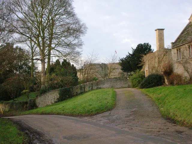
Barnwell Castle
Barnwell Castle — castle in Northamptonshire, England, UK.
 📷 5
📷 5Castles · East of England
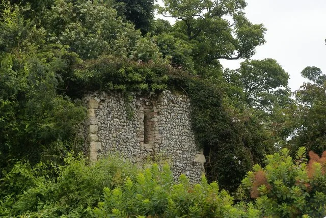
Benington Castle
Benington Castle — Grade I listed castle in East Hertfordshire, England, UK.
 📷 5
📷 5Castles · East of England
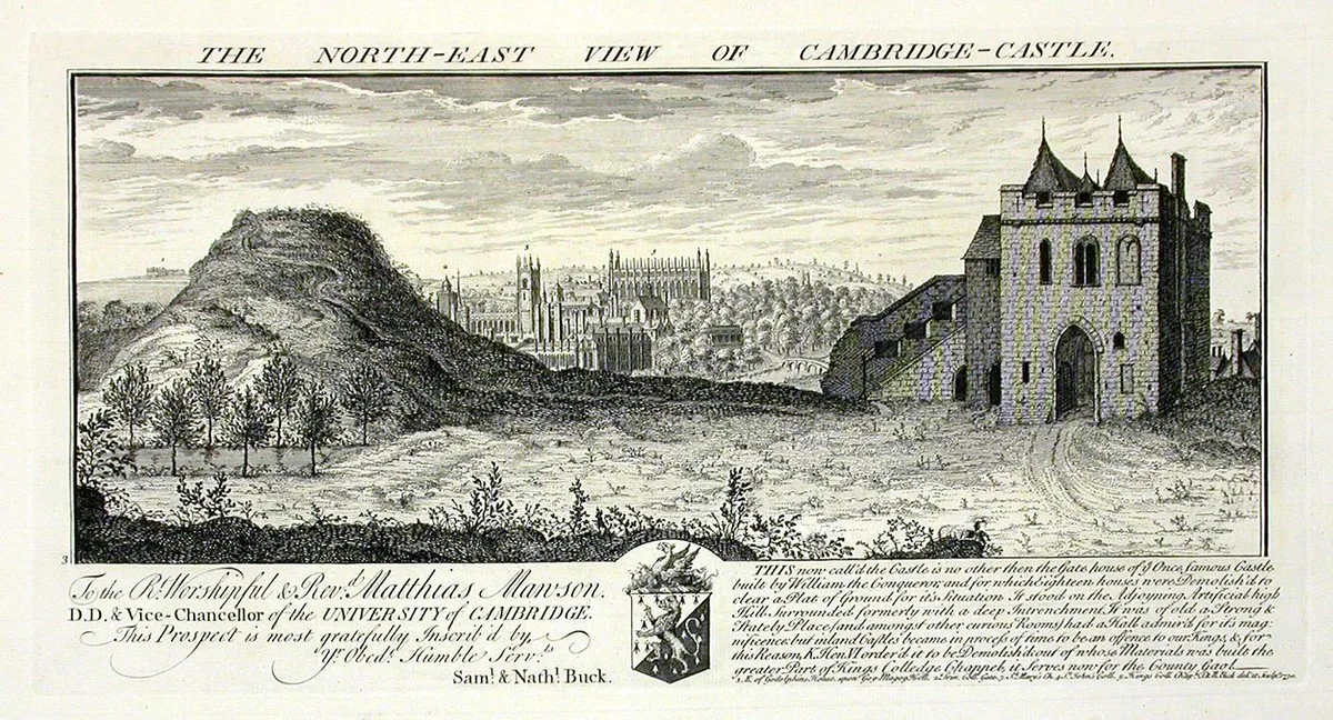
Cambridge Castle
Cambridge Castle — Castle in Cambridge, England.
 📷 5
📷 5Castles · East of England
Camera Obscura
Camera Obscura is a place of interest in the United Kingdom.
Frequently asked questions
- Where is Therfield?
- Therfield is in Hertfordshire, London, United Kingdom (postcode SG8 9QA), in the parish of Therfield.
- What is Therfield?
- Therfield is a village and civil parish in the North Hertfordshire district of Hertfordshire, England. The village stands on a broad chalk ridge, about 2 miles (3 km) south-west of Royston. At its nor
- How do I get to Therfield?
- The nearest railway station is Ashwell & Morden, about 3.9 km away. Drivers can use postcode SG8 9QA.
- Does Therfield charge admission?
- Therfield typically charges admission. Check the official site for current ticket prices and opening hours.
- How do I get to Therfield?
- The nearest railway station is Ashwell & Morden, about 3.9 km away. Drivers can navigate to postcode SG8 9QA.