Stately homes · Mid Wales
The White House
The White House — Grade II* listed house in Aston Munslow, Shropshire, England, UK.

Wikimedia Commons contributors — see linked file page for photographer and licence licence
Plan your visit
- Typical visit
- 2 h–4 h
- Nearest railway station
- Craven Arms · 8.7 km
- Family-friendly
- Limited wheelchair access
About
The White House is a stately home in the United Kingdom. Heritage designation: Grade II* listed building. Wikidata describes it as: "Grade II* listed house in Aston Munslow, Shropshire, England, UK". Coordinates: 52.4765°, -2.7225°.
Photo gallery
Heritage listing
The White House in Aston Munslow, Shropshire, England is a medieval hall house that has undergone considerable alteration over the centuries. It is a grade II* listed building.
From the Historic England List Entry under OGL v3.
Protected designations
- Area of Outstanding Natural Beauty: Shropshire Hills
Designations sourced from Natural England open data under OGL v3.
From the Wikipedia article
The White House in Aston Munslow, Shropshire, England is a medieval hall house that has undergone considerable alteration over the centuries. It is a grade II* listed building.
Excerpt from Wikipedia under CC BY-SA 4.0. See the source article linked in Sources below.
Background
Description
The exterior of the current structure reflects three periods of rebuilding. The East end is the oldest part, dating from the 14th or 15th century. It is a hall house supported by cruck trusses. The interior was later divided by an inserted floor. The walls were originally half-timbered but later rebuilt in stone. The central part of the current building dates from the late 16th or early 17th century. It is a box framed structure typical of the period. The West end was added in the late 18th century when a drawing room and bedroom were added in the Georgian style. The North facade of the building was remodeled, hiding the Elizabethan framing. The trusses of the East end provide evidence that…
Sourced from Wikipedia under CC BY-SA 4.0.
- Coordinates
- 52.4765, -2.7225
- District
- Shropshire
- Parish
- Munslow
- Postcode
- SY7 9EW
- Parliamentary constituency
- South Shropshire
- Nearest railway station
- Craven Arms — 8.7 km
Sources
- wikidata: Q15979575 (CC0)
- wikipedia: The White House, Aston Munslow (CC BY-SA 4.0)
- commons: Landmark White House south side.JPG (CC BY-SA 4.0)
Other places nearby
Loading nearby places…
Nearby
 📷 5
📷 5Towns & cities · Mid Wales
Diddlebury
Diddlebury — village and civil parish in Shropshire, England, UK.
 📷 3
📷 3Memorials & monuments · Mid Wales
Munslow War Memorial
Munslow War Memorial — Grade II listed building-listed memorial in wales-mid, United Kingdom.
 📷 3
📷 3Memorials & monuments · Mid Wales
Diddlebury War Memorial
Diddlebury War Memorial — Grade II listed building-listed memorial in wales-mid, United Kingdom.
 📷 3
📷 3Historic churches · Mid Wales
Church of St Michael
Church of St Michael — church in Munslow, Shropshire, England, UK.

Historic bridges · Mid Wales
Bridge To South Of Broncroft Lodge
Bridge To South Of Broncroft Lodge — Grade II listed building-listed bridge in wales-mid, United Kingdom.
 📷 3
📷 3Castles · Mid Wales
Corfham Castle
Corfham Castle — a castle in wales-mid, United Kingdom.
More places in this region
 Flagship📷 3
Stately homes · Mid Wales
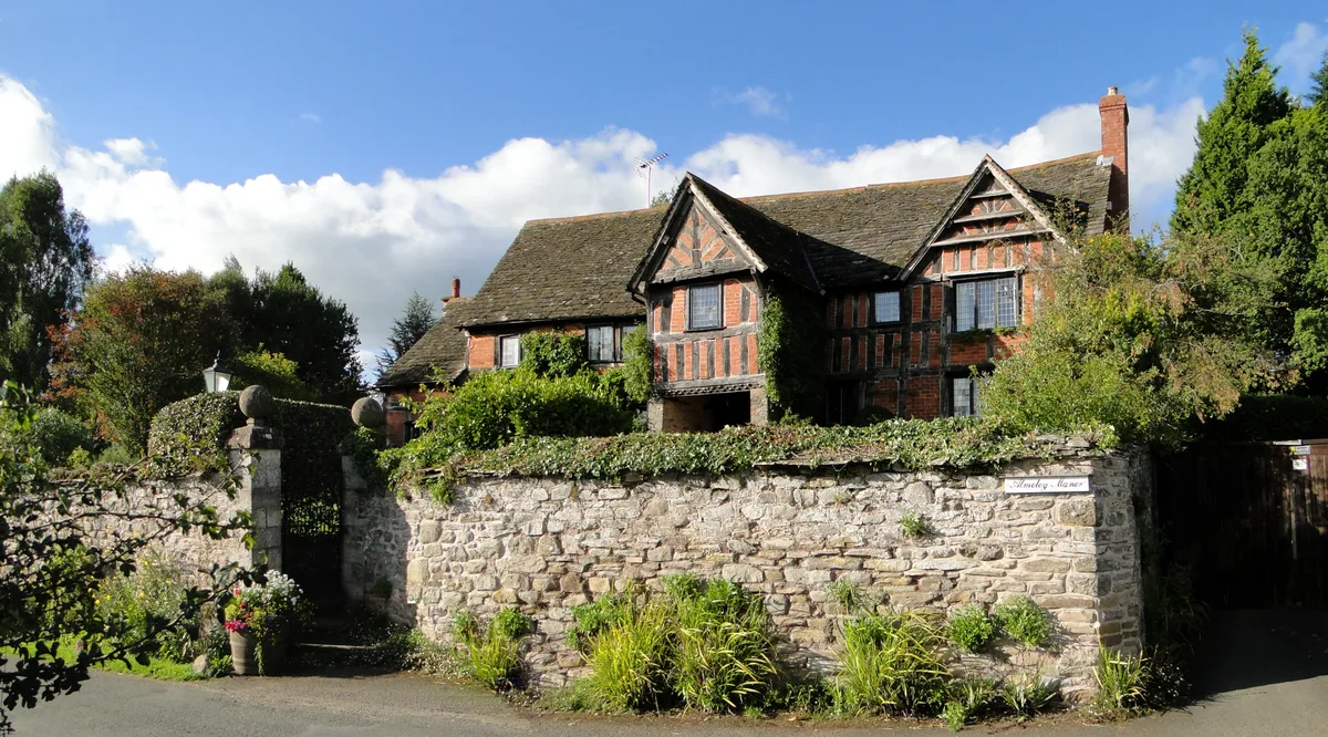
Almeley Manor
Almeley Manor — manor house in Almeley, Herefordshire, England, UK.
 Flagship📷 3
Stately homes · Mid Wales
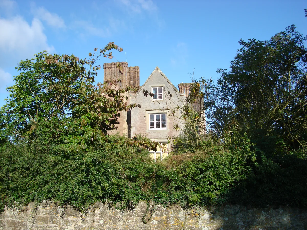
Bromfield Manor House
Bromfield Manor House — Grade II listed house in Bromfield, Shropshire, England, UK.
 📷 4
📷 4Stately homes · Mid Wales
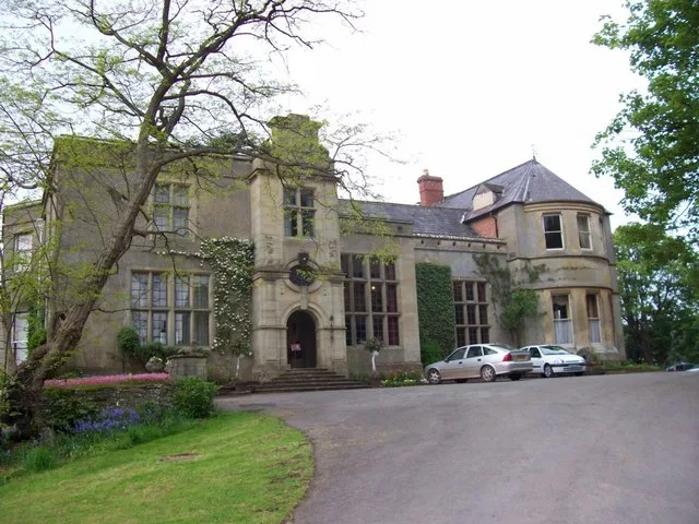
Burton Court
Burton Court — wedding and conference venue in north Herefordshire, England, UK.
 Flagship📷 3
Stately homes · Mid Wales
Burway Manor
Burway Manor — manor house in Bromfield, Shropshire, England, UK.
Frequently asked questions
- Where is The White House?
- The White House is in Mid Wales, United Kingdom (postcode SY7 9EW), in the parish of Munslow.
- Is The White House a listed building?
- The White House is officially recognised as Grade II* listed building listed.
- Is The White House a protected site?
- Yes — The White House is part of the Shropshire Hills National Landscape (AONB).
- How do I get to The White House?
- Drivers can navigate to postcode SY7 9EW. It sits within the South Shropshire parliamentary constituency.