Mountains & hills · Scottish Islands
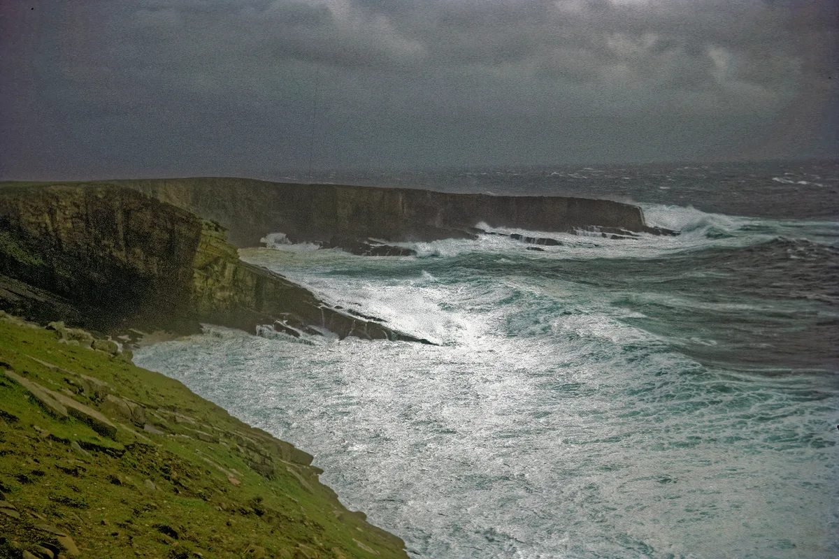
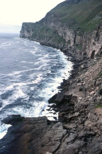
The Noup
The Noup — mountain in scotland islands. Elevation: 248 m.

Michael Earnshaw — CC BY-SA 2.0 via Wikimedia Commons licence
Plan your visit
- Typical visit
- 3 h–8 h
- Best time of year
- Late spring – early autumn (May–Oct)
About
The Noup is a mountain located in scotland islands. Elevation: 248 m. A named British peak recorded in OpenStreetMap. Peaks are typically named on Ordnance Survey 1:50k mapping.
Photo gallery
Place summary
The Noup is a mountain located in the Scottish Islands. It is noted for its rugged terrain and scenic views typical of the region. Visitors can expect a challenging landscape, ideal for experienced hikers and outdoor enthusiasts. The surrounding area offers a unique natural environment, with opportunities for wildlife observation and exploration of the local flora.
AI-generated from the structured facts on this page (operator, designation, listing, era). Not a substitute for visiting.
- Coordinates
- 60.1222, -2.0836
Sources
- osm: n3473842477 (ODbL)
Other places nearby
Loading nearby places…
Nearby
📷 5Mountains & hills · Scottish Islands
Da Noup
Da Noup — a hill or mountain in scotland islands.
 📷 3
📷 3Mountains & hills · Scottish Islands
Helliberg's Wick
Helliberg's Wick — bay on Foula, Shetland Islands, Scotland, UK.
 📷 3
📷 3Mountains & hills · Scottish Islands
Wick of Mucklaberg
Wick of Mucklaberg — bay on Foula, Shetland Islands, Scotland, UK.
 📷 5
📷 5Natural landmarks · Scottish Islands
Hellabrick’s Wick
Hellabrick’s Wick — a natural feature in scotland islands.
 📷 3
📷 3Lighthouses · Scottish Islands
Foula Lighthouse
Foula Lighthouse — lighthouse in Shetland Islands, Scotland, UK.
 📷 5
📷 5Natural landmarks · Scottish Islands
Wick of Mucklabrek
Wick of Mucklabrek — a natural feature in scotland islands.
More mountains in this region
 📷 3
📷 3Mountains & hills · Scottish Islands
Aikerness Bay
Aikerness Bay — bay in Orkney Islands, Scotland, UK.
 📷 3
📷 3Mountains & hills · Scottish Islands
Aith Hope
Aith Hope — bay in Orkney Islands, Scotland, UK.

Mountains & hills · Scottish Islands
Aith Voe
Aith Voe — bay on West Mainland, Shetland Islands, Scotland, UK.
 📷 3
📷 3Mountains & hills · Scottish Islands
Aith Voe
Aith Voe — bay on South Mainland, Shetland Islands, Scotland, UK.
Frequently asked questions
- Where is The Noup?
- The Noup is in the Scottish Islands, United Kingdom.
- What is The Noup?
- The Noup — mountain in scotland islands. Elevation: 248 m.
- How do I get to The Noup?
- Its coordinates are 60.1222°, -2.0836°.