
Natural landmarks · North West England
The Mosslands School
In or near Liverpool.
The Mosslands School — a school heritage in wales-north, United Kingdom.

Eirian Evans — CC BY-SA 2.0 via Wikimedia Commons licence

Plan your visit
- Typical visit
- 1 h–2 h
- Nearest railway station
- Wallasey Village · 0.5 km
- Free entry
- Dog-friendly
About
The Mosslands School is a school heritage located in wales-north, United Kingdom. Catalogued from Wikidata's UK heritage register; see the Wikipedia article for further historical and visitor details.
Photo gallery
Protected designations
- Site of Special Scientific Interest: North Wirral Foreshore SSSI
- Ramsar wetland: Mersey Narrows & North Wirral Foreshore
Designations sourced from Natural England open data under OGL v3.
Place summary
The Mosslands School is located in North Wales. It is an educational institution serving the local community. Further specific details about its history or architectural significance are not provided.
AI-generated from the structured facts on this page (operator, designation, listing, era). Not a substitute for visiting.
Background
History
The Mosslands School began on 18 July 1908 as the Higher Elementary School. The school building, located at Dalmorton Road, New Brighton, was officially opened by The Right Hon. Augustine Birrell KC (Secretary of State for Ireland and formerly Education). The school opened on 11 August 1908 with 7 staff and 153 boys with William Jones as Principal. The first school inspection took place in 1910 and the recommendation was made for larger premises to accommodate the growth of the local population. In 1920 the school moved to Coronation Avenue, Wallasey, and was renamed Wallasey Boys Central School. It was one of the few Technical Schools established after the Education Act 1944. In 1956 a…
Sourced from Wikipedia under CC BY-SA 4.0.
- Coordinates
- 53.4187, -3.0665
- District
- Wirral
- Parish
- Wirral, unparished area
- Postcode
- CH45 8PJ
- Parliamentary constituency
- Wallasey
- Established
- 1956
- Nearest railway station
- Wallasey Village — 0.5 km
Sources
- wikidata: Q7752338 (CC0)
- wikipedia: The Mosslands School (CC BY-SA 4.0)
Other places nearby
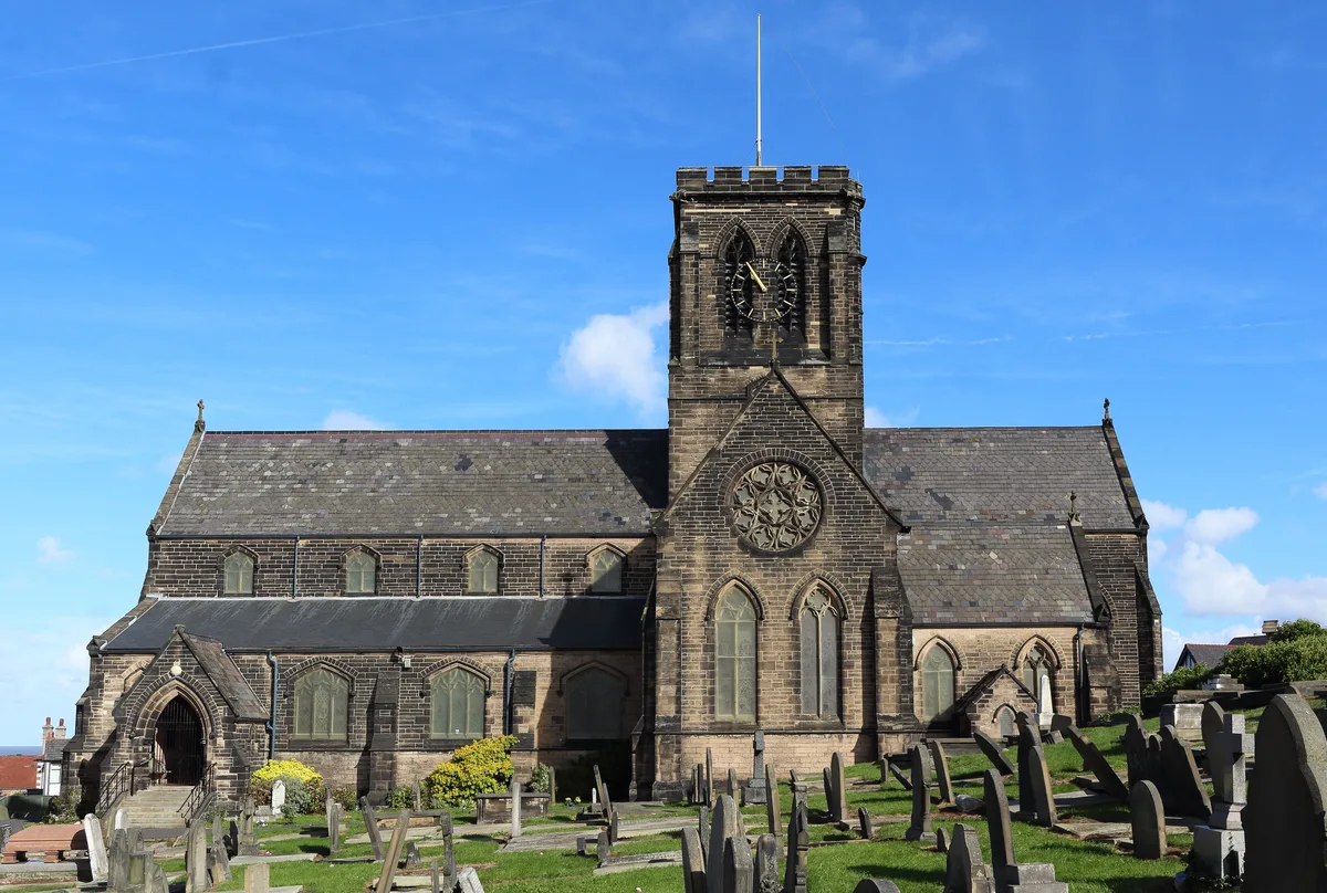
St Hilary's Church, Wallasey
Historic churches · 0.5 km

HiIary Breck Post-Roman Settlement
Archaeological sites · 0.6 km
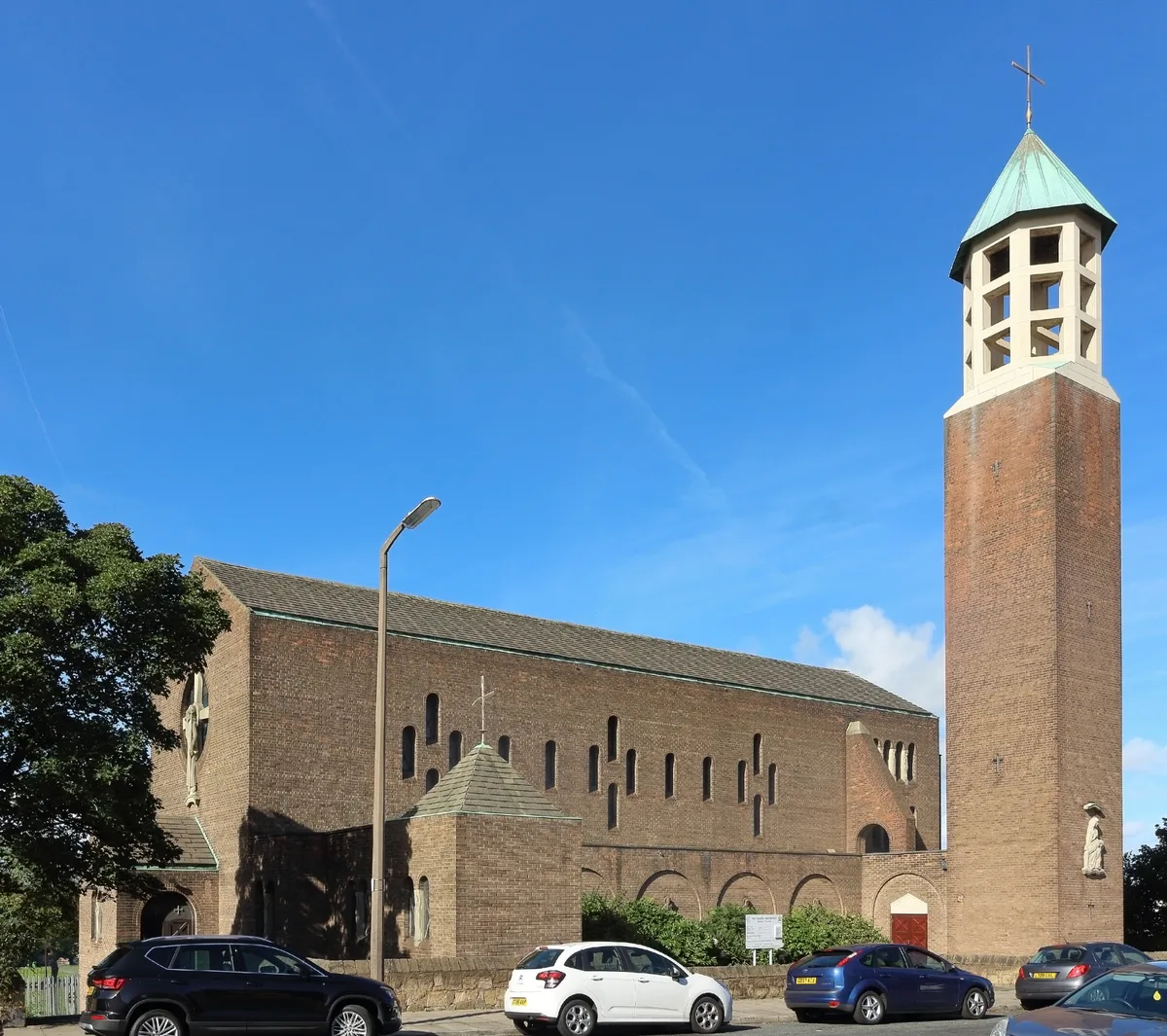
English Martyrs' Church, Wallasey
Historic churches · 0.7 km

St Mary's College, Wallasey
Historic churches · 0.7 km

Wallasey
Museums · 1.1 km

Harrison Park
Country parks · 1.4 km

Wallasey Water Tower
Memorials & monuments · 1.4 km

Liscard Palace Cinema
Theatres · 1.4 km
ABC Wallasey
Theatres · 1.4 km
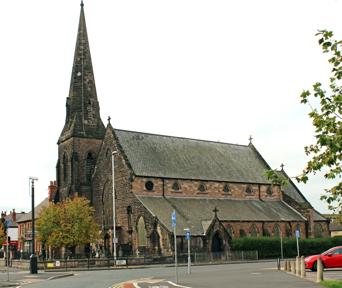
St Alban's Church, Wallasey
Historic churches · 1.5 km

Wallasey Cemetery
Cemeteries · 1.6 km

Charlie Landsborough
Public art & sculpture · 1.7 km
Nearby
📷 3Historic churches · North West England
St Hilary's Church, Wallasey
St Hilary's Church, Wallasey — church in Wallasey, Merseyside, England, UK.
📷 3Archaeological sites · North West England
HiIary Breck Post-Roman Settlement
HiIary Breck Post-Roman Settlement — a archaeological in wales-north, United Kingdom.
📷 3Historic churches · North West England
English Martyrs' Church, Wallasey
English Martyrs' Church, Wallasey — church in Wirral, UK.
📷 5Historic churches · North West England
St Mary's College, Wallasey
St Mary's College, Wallasey — a school heritage in wales-north, United Kingdom.
📷 5📷 3Where to eat & stay near The Mosslands School
Places to stay
 📷 5
📷 5 📷 5
📷 5Hotels · North West England
Atlantic Tower Hotel
Atlantic Tower Hotel — a hotel in wales north.
 📷 5
📷 5 📷 5
📷 5Caravan parks · North West England
Park Lane Caravan Park
Park Lane Caravan Park — a caravan park in wales north.
 📷 5
📷 5Hotels · North West England
Hard Days Night Hotel
Hard Days Night Hotel — a hotel in wales north.
 📷 5
📷 5Hotels · North West England
DoubleTree by Hilton Hotel & Spa Liverpool
DoubleTree by Hilton Hotel & Spa Liverpool — a hotel in wales north. 4-star. Brand: DoubleTree.
Places to eat & drink
 📷 5
📷 5Historic pubs · North West England
Former bank and residence
Former bank and residence in Wales North, United Kingdom.
 📷 5
📷 5Historic pubs · North West England
That Part Of The Brighton Public House Contained Within Buchanan Road The Brighton Public House
That Part Of The Brighton Public House Contained Within Buchanan Road The Brighton Public House in Wales North, United Kingdom.
 📷 5
📷 5Historic pubs · North West England
The Copperfield Public House
The Copperfield Public House in Wales North, United Kingdom.
 📷 5
📷 5Restaurants · North West England
Panoramic (restaurant)
Panoramic 34 is a restaurant and bar located on the 34th floor of West Tower, Liverpool. It is 300 feet above ground and claims to be 'one of the UK's highest restaurants' with views as far away as No
 📷 5
📷 5Historic pubs · North West England
Rigby's Buildings
Rigby's Buildings in Wales North, United Kingdom.
 📷 5
📷 5Historic pubs · North West England
Flanagan's Apple
Flanagan's Apple in Wales North, United Kingdom.
More natural landmarks in this region
 📷 3
📷 3Natural landmarks · North West England
Statue of Oliver Cromwell
Statue of Oliver Cromwell — Public artwork (statue).
 📷 3
📷 3Natural landmarks · North West England
Dagfields Craft Centre
Dagfields Craft Centre — a other in england-west-midlands, United Kingdom.
 📷 3
📷 3Natural landmarks · North West England
Weaver Valley Cruises
Weaver Valley Cruises — a other in england-west-midlands, United Kingdom.
 📷 3
📷 3Natural landmarks · North West England
Golden Gates
Golden Gates — a other in england-west-midlands, United Kingdom.
Frequently asked questions
- Where is The Mosslands School?
- The Mosslands School is in North Wales, United Kingdom (postcode CH45 8PJ), in the parish of Wirral, unparished area.
- What is The Mosslands School?
- The Mosslands School — a school heritage in wales-north, United Kingdom.
- How do I get to The Mosslands School?
- The nearest railway station is Wallasey Village, about 0.5 km away. Drivers can use postcode CH45 8PJ.
- When was The Mosslands School built?
- Built or established in 1956.
- Is The Mosslands School a protected site?
- Yes — The Mosslands School is part of the North Wirral Foreshore SSSI Site of Special Scientific Interest and the Mersey Narrows & North Wirral Foreshore Ramsar wetland.
- Is The Mosslands School free to visit?
- Yes, The Mosslands School is free to enter.
- How do I get to The Mosslands School?
- The nearest railway station is Wallasey Village, about 0.5 km away. Drivers can navigate to postcode CH45 8PJ.