Wildlife reserves · South East England
The Marshes Local Nature Reserve
The Marshes Local Nature Reserve is a wildlife reserve in the United Kingdom.
.jpg?width=1200)
Wikimedia Commons licence
Plan your visit
- Typical visit
- 2 h–4 h
- Best time of year
- Autumn & winter (migration & wildfowl)
- Nearest railway station
- Mortimer · 6.2 km
- Free entry
- Dog-friendly
About
The Marshes Local Nature Reserve is a wildlife reserve in the United Kingdom. Coordinates: 51.3640°, -0.9470°. This entry is part of The Great Britain Guide, a free, ad-free, open-data tourist directory.
Photo gallery
From the Wikipedia article
The Marshes is a 2.2-hectare (5.4-acre) Local Nature Reserve south of Swallowfield in Berkshire. It is owned and managed by Swallowfield Parish Council. The main part of this site is a former horse paddock which was planted with 1400 native shrubs and trees between 2004 and 2008. A pond and boardwalk were constructed in a small area of wet woodland. There is access from School Road.
Excerpt from Wikipedia under CC BY-SA 4.0. See the source article linked in Sources below.
- Coordinates
- 51.3640, -0.9470
- District
- Wokingham
- Parish
- Swallowfield
- Postcode
- RG7 1XT
- Parliamentary constituency
- Wokingham
- Nearest railway station
- Mortimer — 6.2 km
Sources
- wikidata: Q78355367 (CC0)
- wikipedia: The Marshes Local Nature Reserve (CC BY-SA 4.0)
Other places nearby
Loading nearby places…
Nearby
Campsites · South East England
Wellington Country Park Campsite
Wellington Country Park Campsite — a campsite in england south east.
 📷 5
📷 5Parks · South East England
Wellington Country Park
Wellington Country Park — park in Hampshire, United Kingdom.
 📷 5
📷 5Historic bridges · South East England
Bridge Over The River Blackwater At Swallowfield Park
Bridge Over The River Blackwater At Swallowfield Park — Grade II listed building-listed bridge in england-south-east, United Kingdom.
Nov2007.jpg?width=1200) 📷 5
📷 5Towns & cities · South East England
Farley Hill
Farley Hill — village in Berkshire, England, UK.
 📷 5
📷 5Historic bridges · South East England
Heckfield Bridge
Heckfield Bridge — Grade II listed building-listed bridge in england-south-east, United Kingdom.
 📷 5
📷 5Memorials & monuments · South East England
Wellington Monument
Wellington Monument is a memorial in the United Kingdom.
More places in this region
 Flagship📷 10
Wildlife reserves · South East England
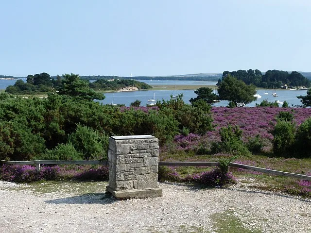
Arne RSPB reserve
Arne RSPB reserve — RSPB nature reserve in the United Kingdom.
 Flagship📷 10
Wildlife reserves · South East England
Farnham Park
Farnham Park — nature reserve in Surrey, England, UK.
 Flagship📷 10
Wildlife reserves · South East England
Great Wood and Dodd's Grove
Great Wood and Dodd's Grove — Essex Wildlife Trust Nature reserve.
 Flagship📷 10
Wildlife reserves · South East England
Gunners Park and Shoebury Ranges
Gunners Park and Shoebury Ranges — Essex Wildlife Trust Nature reserve.
Frequently asked questions
- Where is The Marshes Local Nature Reserve?
- The Marshes Local Nature Reserve is in South-East England, United Kingdom (postcode RG7 1XT), in the parish of Swallowfield.
- Who owns The Marshes Local Nature Reserve?
- The Marshes Local Nature Reserve is owned by Swallowfield Parish Council.
- Is The Marshes Local Nature Reserve free to visit?
- Yes, The Marshes Local Nature Reserve is free to enter.
- How do I get to The Marshes Local Nature Reserve?
- The nearest railway station is Mortimer, about 6.2 km away. Drivers can navigate to postcode RG7 1XT.
- Are dogs allowed at The Marshes Local Nature Reserve?
- Most wildlife reserves allow dogs on lead only, with restrictions during ground-nesting bird season (March-July). Check signage at the reserve.