
Caves · South East England
The Hermitage
In or near Guestling.
The Hermitage — cave in england south east.

don cload — CC BY-SA 2.0 via Wikimedia Commons licence

Plan your visit
- Typical visit
- 45 min–1.5 h
- Nearest railway station
- Rock-a-Nore Station · 1.1 km
About
The Hermitage is a cave located in england south east. A British cave recorded in OpenStreetMap. Most are in carboniferous limestone country.
Photo gallery
Protected designations
- Site of Special Scientific Interest: Hastings Cliffs to Pett Beach SSSI
- Area of Outstanding Natural Beauty: High Weald
Designations sourced from Natural England open data under OGL v3.
Place summary
The Hermitage is a cave located in South-East England. It is notable for its geological features and historical significance. The cave offers a glimpse into the natural landscape of the region, attracting those interested in geology and local history. Visitors can explore the surrounding area, which provides a natural setting for outdoor activities.
AI-generated from the structured facts on this page (operator, designation, listing, era). Not a substitute for visiting.
- Coordinates
- 50.8614, 0.6085
- County
- East Sussex
- District
- Hastings
- Parish
- Hastings, unparished area
- Postcode
- TN35 5DY
- Parliamentary constituency
- Hastings and Rye
- Nearest railway station
- Rock-a-Nore Station — 1.1 km
Sources
- osm: n3659213476 (ODbL)
Other places nearby

Ecclesbourne Waterfall
Waterfalls · 0.1 km
Rocklands Holiday Park
Campsites · 0.2 km

Iron Age cliff castle and site of St George's churchyard on East Hill
Vineyards · 0.5 km

St George's Churchyard
Archaeological sites · 0.5 km

East Hill, Hastings
Vineyards · 0.7 km
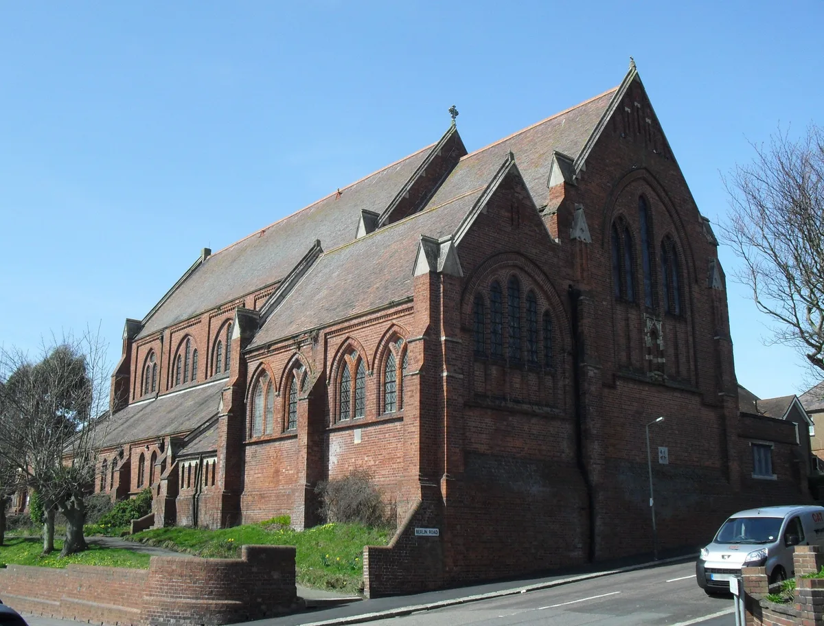
All Souls Church, Hastings
Historic churches · 0.7 km

Windycroft
Gardens · 0.7 km

Minnis Rock
Caves · 0.7 km

The Retreat
Campsites · 0.7 km

Black Arches
Public art & sculpture · 0.8 km

Hastings Touring Park
Campsites · 0.9 km

Rock-a-Nore Beach
Beaches · 0.9 km
Nearby
📷 5Waterfalls · South East England
Ecclesbourne Waterfall
Ecclesbourne Waterfall — waterfall in england south east.
📷 5Campsites · South East England
Rocklands Holiday Park
Rocklands Holiday Park — a campsite in england south east.
📷 5Vineyards · South East England
Iron Age cliff castle and site of St George's churchyard on East Hill
Iron Age cliff castle and site of St George's churchyard on East Hill — a UK vineyard in england south east, producing English or Welsh wine from cool-climate grape varieties.
📷 5Archaeological sites · South East England
St George's Churchyard
St George's Churchyard — an archaeological site in South East England, United Kingdom.
📷 5Vineyards · South East England
East Hill, Hastings
East Hill, Hastings — a UK vineyard in england south east, producing English or Welsh wine from cool-climate grape varieties.
📷 5Historic churches · South East England
All Souls Church, Hastings
All Souls Church, Hastings — church in Hastings, East Sussex, England, UK.
Where to eat & stay near The Hermitage
Places to stay
📷 5Campsites · South East England
Rocklands Holiday Park
Rocklands Holiday Park — a campsite in england south east.
📷 5📷 5Campsites · South East England
Hastings Touring Park
Hastings Touring Park — a campsite in england south east.
 📷 5
 📷 5
Campsites · South East England
Spindlewood Country Holiday Park
Spindlewood Country Holiday Park — a campsite in england south east.
 📷 5
Hostels · South East England
Guestling Hall
Guestling Hall — a hostel in england south east.
Places to eat & drink
 📷 5
 📷 5
Historic pubs · South East England
Duke Of Wellington Public House
Duke Of Wellington Public House in England South East, United Kingdom.
 📷 7
Historic pubs · South East England
The Royal Standard Public House
The Royal Standard Public House in England South East, United Kingdom.
 📷 6
Historic pubs · South East England
Hastings Arms Public House
Hastings Arms Public House in England South East, United Kingdom.
 📷 5
Historic pubs · South East England
The Havelock Public House
The Havelock Public House in England South East, United Kingdom.
 📷 7
Historic pubs · South East England
The Hope Public House
The Hope Public House in England South East, United Kingdom.
More caves in this region
 📷 5
Caves · South East England
Godstone Mines
Godstone Mines is a cave in the United Kingdom.
 📷 5
 📷 5
Caves · South East England
Barons Cave
Barons Cave — a cave in South East England, United Kingdom.
 📷 5
Frequently asked questions
- Where is The Hermitage?
- The Hermitage is in East Sussex, South-East England, United Kingdom (postcode TN35 5DY), in the parish of Hastings, unparished area.
- What is The Hermitage?
- The Hermitage — cave in england south east.
- How do I get to The Hermitage?
- The nearest railway station is Rock-a-Nore Station, about 1.1 km away. The nearest town is Guestling. Drivers can use postcode TN35 5DY.
- Is The Hermitage a protected site?
- Yes — The Hermitage is part of the Hastings Cliffs to Pett Beach SSSI Site of Special Scientific Interest and the High Weald National Landscape (AONB).
- How do I get to The Hermitage?
- The nearest railway station is Rock-a-Nore Station, about 1.1 km away. Drivers can navigate to postcode TN35 5DY.