
Caves · South East England
The Hellfire Caves
Also known as: Hellfire Caves
In or near Bradenham.
The Hellfire Caves is a cave in the United Kingdom.

Wikimedia Commons contributors — see linked file page for photographer and licence licence

Plan your visit
- Typical visit
- 45 min–1.5 h
- Nearest railway station
- Saunderton · 3.7 km
- Paid entry
- Family-friendly
- Dog-friendly
Getting there & planning your visit
To visit The Hellfire Caves, the nearest railway station is Saunderton, located 3.7 km away. Entry to the caves is free. The postcode for sat-nav is HP14 3AH.
About
The Hellfire Caves is a named cave entrance in the United Kingdom. Also known as: Hellfire Caves. Coordinates: 51.6461°, -0.8026°.
Photo gallery
Official information
The Hellfire Caves are an 18th-century network of tunnels and caverns located in West Wycombe. Visitors can explore the unique underground passages and learn about the history of the site, which has served various purposes over the years.
Protected designations
- Area of Outstanding Natural Beauty: Chilterns
Designations sourced from Natural England open data under OGL v3.
From the Wikipedia article
The Hellfire Caves (also known as the West Wycombe Caves) are a network of man-made chalk and flint caverns which extend 260m underground. They are situated above the village of West Wycombe, at the southern edge of the Chiltern Hills near High Wycombe in Buckinghamshire, Southeast England. They were excavated between 1748 and 1752 for Francis Dashwood, 11th Baron le Despencer (2nd Baronet), founder of the Society of Dilettanti and co-founder of the Hellfire Club, whose meetings were held in the caves. The caves have been operating as a tourist attraction since reopening in 1951.
Excerpt from Wikipedia under CC BY-SA 4.0. See the source article linked in Sources below.
Background
History
During the late 1740s, to try to combat local poverty, Sir Francis Dashwood commissioned an ambitious project to supply chalk for a straight three mile (5 km) road between West Wycombe and High Wycombe (then on the busy London-Oxford road, now the A40). The chalk for the road was dug out from the site of the caves, which is how the caves were created. Local farm workers, impoverished by a succession of droughts and failed harvests, were employed to carry out the work.
Sourced from Wikipedia under CC BY-SA 4.0.
- Coordinates
- 51.6461, -0.8026
- District
- Buckinghamshire
- Parish
- West Wycombe
- Postcode
- HP14 3AH
- Parliamentary constituency
- Wycombe
- Phone
- +44 1494 533739
- Nearest railway station
- Saunderton — 3.7 km
- Opening
- Weekends 10am–4pm; daily 10am–4pm during February half term; weekdays 10am–4pm and weekends 10am–5pm from Easter.
- Official site
- www.hellfirecaves.co.uk
Sources
- osm: n1110307267 (ODbL)
- wikipedia: Hellfire Caves (CC BY-SA 4.0)
- commons: West Wycombe Hellfire Caves 6.jpg (CC BY-SA 4.0)
Other places nearby

West Wycombe Parish Burial Ground
Cemeteries · 0.1 km
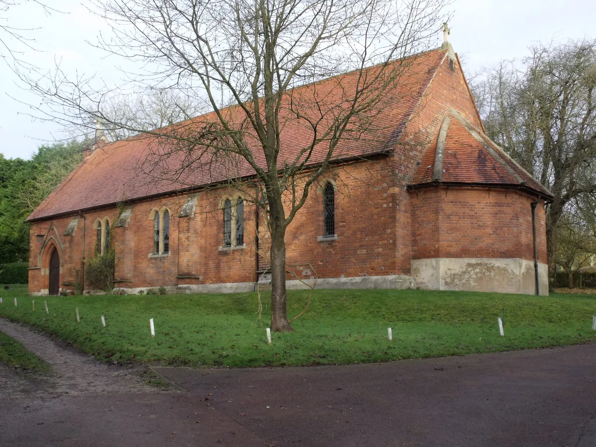
St Paul's Church, West Wycombe
Historic churches · 0.2 km

Dashwood Mausoleum
Memorials & monuments · 0.2 km

West Wycombe War Memorial
Memorials & monuments · 0.2 km
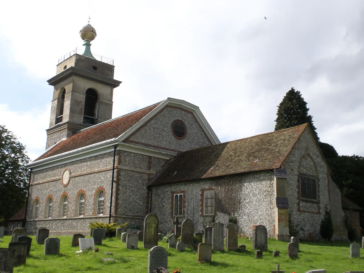
St Lawrence's Church, West Wycombe
Historic churches · 0.2 km

Camp on Church Hill
Vineyards · 0.2 km

Temple of Venus
Memorials & monuments · 0.3 km

Britannia Pillar
Memorials & monuments · 0.3 km

North Bridge West Wycombe Park
Historic bridges · 0.3 km
Upper Bridge West Wycombe Park
Historic bridges · 0.3 km
West Wycombe
Museums · 0.4 km

Flint Bridge West Wycombe Park
Historic bridges · 0.4 km
Nearby
📷 3Cemeteries · South East England
West Wycombe Parish Burial Ground
West Wycombe Parish Burial Ground is a cemetery in the United Kingdom.
📷 3Historic churches · South East England
St Paul's Church, West Wycombe
St Paul's Church, West Wycombe — church in United Kingdom.
📷 3Memorials & monuments · South East England
Dashwood Mausoleum
Dashwood Mausoleum is a memorial in the United Kingdom.
📷 3Memorials & monuments · South East England
West Wycombe War Memorial
West Wycombe War Memorial — Grade II listed building-listed memorial in england-west-midlands, United Kingdom.
📷 5Historic churches · South East England
St Lawrence's Church, West Wycombe
St Lawrence's Church, West Wycombe — church in West Wycombe, Buckinghamshire, England, UK.
📷 5Vineyards · South East England
Camp on Church Hill
Camp on Church Hill — a UK vineyard in england west midlands, producing English or Welsh wine from cool-climate grape varieties.
Where to eat & stay near The Hellfire Caves
Places to stay
 📷 5
📷 5 📷 5
📷 5Hotels · South East England
Hampton by Hilton High Wycombe
Hampton by Hilton High Wycombe — a hotel in england west midlands. 3-star. Brand: Hampton.
 📷 5
📷 5 📷 5
📷 5Campsites · South East England
Chiltern Retreat, Woodland Camping
Chiltern Retreat, Woodland Camping — a campsite in england west midlands.
 📷 5
📷 5Campsites · South East England
Chiltern Retreat, Park Field Camping
Chiltern Retreat, Park Field Camping — a campsite in england south east.
 📷 5
📷 5Campsites · South East England
Cholsey Grange CARAVAN Certificated Location
Cholsey Grange CARAVAN Certificated Location — a campsite in england west midlands.
Places to eat & drink
 📷 5
📷 5 📷 7
📷 7Historic pubs · South East England
Grouse & Ale
Grouse & Ale in England South East, United Kingdom.
 📷 5
📷 5Restaurants · South East England
Treatz
Treatz — a restaurant in england west midlands.
 📷 7
📷 7Historic pubs · South East England
The Flint Cottage Inn
The Flint Cottage Inn in England South East, United Kingdom.
 📷 5
📷 5Historic pubs · South East England
The Bull And Butcher
The Bull And Butcher in England South East, United Kingdom.
 📷 5
📷 5Historic pubs · South East England
Sir Charles Napier Inn
Sir Charles Napier Inn in England South East, United Kingdom.
More caves in this region
 📷 5
📷 5Caves · South East England
Godstone Mines
Godstone Mines is a cave in the United Kingdom.
 📷 5
📷 5 📷 5
📷 5 📷 5
📷 5Frequently asked questions
- Where is The Hellfire Caves?
- The Hellfire Caves is in the West Midlands, United Kingdom (postcode HP14 3AH), in the parish of West Wycombe.
- What is The Hellfire Caves?
- The Hellfire Caves is a cave in the United Kingdom.
- How do I get to The Hellfire Caves?
- The nearest railway station is Saunderton, about 3.7 km away. Drivers can use postcode HP14 3AH.
- Is The Hellfire Caves a protected site?
- Yes — The Hellfire Caves is part of the Chilterns National Landscape (AONB).
- Is The Hellfire Caves free to visit?
- Yes, The Hellfire Caves is free to enter.
- How do I get to The Hellfire Caves?
- The nearest railway station is Saunderton, about 3.7 km away. Drivers can navigate to postcode HP14 3AH.