
Historic houses · South East England
The Grange, Ramsgate
In or near Westwood.
The Grange, Ramsgate — a Grade I-listed historic house in england-south-east, United Kingdom.

pam fray — CC BY-SA 2.0 via Wikimedia Commons licence

Plan your visit
- Typical visit
- 1 h–2 h
- Nearest railway station
- Ramsgate · 1.5 km
- Family-friendly
- Limited wheelchair access
Getting there & planning your visit
The Grange in Ramsgate can be reached from Ramsgate railway station, which is 1.5 km away. The postcode for sat-nav is CT11 9NY. Accessibility is limited for wheelchair users.
About
The Grange, Ramsgate is a Grade I-listed building in england-south-east, United Kingdom. Grade I status is conferred by Historic England (or Cadw, Historic Environment Scotland or NIEA equivalents) on buildings of exceptional national interest. See the linked Wikipedia article for full historical and architectural details.
Photo gallery
See it from the streetimagery from 2025
Imagery © Mapillary contributors, CC BY-SA 4.0
From the Wikipedia article
The Grange is a house in Ramsgate, Kent, on the south coast of England. It was designed as his own home by the Victorian architect and designer Augustus Pugin, and built between 1843 and 1844. The Grange is built in Gothic Revival style, Pugin intending it to be both a home and a manifesto for his architectural philosophy. Rescued from demolition by the Landmark Trust in 1997, the Grange is a Grade I listed building. The house is notable for its influence, being described by Historic England as occupying "a crucial place in the development of C19 domestic architecture, in planning and style", and by Pugin's biographer Rosemary Hill as "a model for the English family home that was used in various ways by three generations of architects."
Excerpt from Wikipedia under CC BY-SA 4.0. See the source article linked in Sources below.
Background
History
Pugin bought the land for the site at West Cliff, Ramsgate, in 1841. The house was built between 1843 and 1844 by the builder George Myers. Pugin's second wife died in 1844 and it was only after his third marriage to Jane Knill in 1848 that it became a family home. The interior of the house was finally completed in 1850. It is built from the inside out in the sense that the layout of the rooms was considered before the outside of the building. This is in contrast to the Georgian style that preceded it. The style was influential on subsequent English architecture designed by architects like Edwin Lutyens. Pugin died in the house in 1852 at the age of 40. He is buried in the impressive Pugin…
Sourced from Wikipedia under CC BY-SA 4.0.
- Coordinates
- 51.3282, 1.4098
- County
- Kent
- District
- Thanet
- Parish
- Ramsgate
- Postcode
- CT11 9NY
- Parliamentary constituency
- East Thanet
- Established
- 1843
- Nearest railway station
- Ramsgate — 1.5 km
Sources
- wikidata: Q12058982 (CC0)
- wikipedia: The Grange, Ramsgate (CC BY-SA 4.0)
Other places nearby
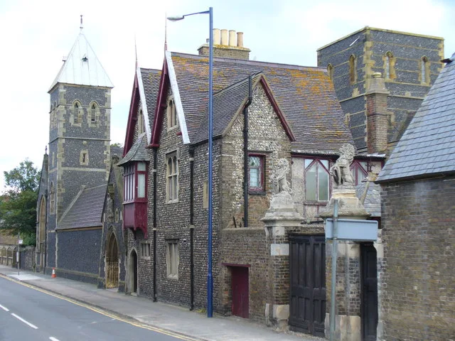
St Augustine's Abbey, Ramsgate
Abbeys & priories · 0.0 km

Ramsgate Western Undercliffe
Beaches · 0.3 km

West Cliff Concert Hall
Open-air theatres · 0.3 km

Churchill House School With Railed Area
Historic houses · 0.3 km

Queen Charlotte Public House
Historic pubs · 0.4 km

Hands & Molecule
Public art & sculpture · 0.5 km

Port of Ramsgate
Harbours & ports · 0.5 km

The Empire Room
Restaurants · 0.5 km

Water Tower Of Ramsgate Water Works Including Area Railings, Gate Piers To West
Memorials & monuments · 0.8 km
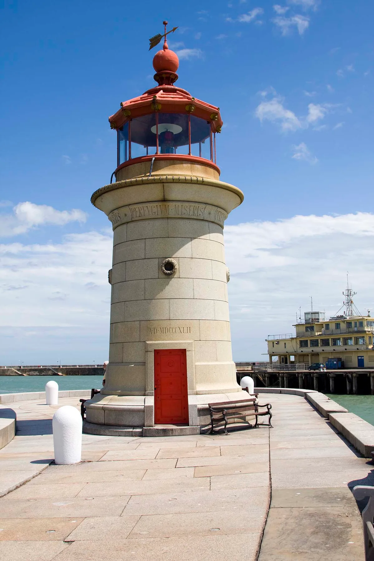
Ramsgate West Pier Lighthouse
Lighthouses · 0.8 km

St George's Hall
Theatres · 0.8 km

Cervia
Maritime museums · 0.9 km
Nearby
📷 5Abbeys & priories · South East England
St Augustine's Abbey, Ramsgate
St Augustine's Abbey, Ramsgate — Grade II listed building in Ramsgate, Thanet, Kent, England, UK.
📷 5Beaches · South East England
Ramsgate Western Undercliffe
Ramsgate Western Undercliffe is a beach in the United Kingdom.
📷 5Open-air theatres · South East England
West Cliff Concert Hall
West Cliff Concert Hall — a open-air theatre in england south east.
📷 5Historic houses · South East England
Churchill House School With Railed Area
Churchill House School With Railed Area — a school heritage in england-south-east, United Kingdom.
📷 5Historic pubs · South East England
Queen Charlotte Public House
Queen Charlotte Public House in England South East, United Kingdom.
📷 5Public art & sculpture · South East England
Hands & Molecule
Hands & Molecule — a public art in england-south-east, United Kingdom.
Where to eat & stay near The Grange, Ramsgate
Places to stay
 📷 7
📷 7Hotels · South East England
The House at Ramsgate
The House at Ramsgate — a hotel in england south east.
 📷 5
📷 5Caravan parks · South East England
Pegwell Bay Caravan Park
Pegwell Bay Caravan Park — a caravan park in england south east.
 📷 5
📷 5Caravan parks · South East England
Nethercourt Touring Park
Nethercourt Touring Park — a caravan park in england south east.
 📷 5
📷 5Hotels · South East England
The Yarrow Hotel
The Yarrow Hotel — a hotel in england south east.
 📷 5
📷 5 📷 5
📷 5Caravan parks · South East England
Manston Caravan & Camping Park
Manston Caravan & Camping Park — a caravan park in england south east.
Places to eat & drink
📷 5Historic pubs · South East England
Queen Charlotte Public House
Queen Charlotte Public House in England South East, United Kingdom.
📷 6Restaurants · South East England
The Empire Room
The Empire Room — a restaurant in england south east.
 📷 7
📷 7Cafés · South East England
Custom Coffee House and Carvery
Custom Coffee House and Carvery — a café in england south east. Cuisine: coffee shop.
 📷 5
📷 5Historic pubs · South East England
The Camden Arms
The Camden Arms in England South East, United Kingdom.
 📷 5
📷 5Restaurants · South East England
Osteria Posillipo Pizzeria
Osteria Posillipo Pizzeria — a restaurant in england south east. Cuisine: italian.
 📷 5
📷 5Cafés · South East England
The Old Curiosity Shop
The Old Curiosity Shop — a café in england south east.
More historic houses in this region
 📷 5
📷 5Historic houses · South East England
12 and 14 High Street, Rochester
12 and 14 High Street, Rochester — building in Rochester, Kent, England, UK.
 📷 5
📷 5Historic houses · South East England
Berkeley House
Berkeley House — house in Rochester, Kent, England, UK.
.jpg?width=1200) 📷 5
📷 5Historic houses · South East England
Betchworth House
Betchworth House — house in Betchworth, Mole Valley, England, UK.
 📷 5
📷 5Historic houses · South East England
Bookham Grove
Bookham Grove — building in Mole Valley, Surrey, England, UK.
Frequently asked questions
- Where is The Grange, Ramsgate?
- The Grange, Ramsgate is in Kent, South-East England, United Kingdom (postcode CT11 9NY), in the parish of Ramsgate.
- What is The Grange, Ramsgate?
- The Grange, Ramsgate — a Grade I-listed historic house in england-south-east, United Kingdom.
- How do I get to The Grange, Ramsgate?
- The nearest railway station is Ramsgate, about 1.5 km away. Drivers can use postcode CT11 9NY.
- When was The Grange, Ramsgate built?
- Built or established in 1843.
- Who owns The Grange, Ramsgate?
- The Grange, Ramsgate is owned by Landmark Trust.
- Is The Grange, Ramsgate a listed building?
- The Grange, Ramsgate is officially recognised as Grade I listed.
- How do I get to The Grange, Ramsgate?
- The nearest railway station is Ramsgate, about 1.5 km away. Drivers can navigate to postcode CT11 9NY.