
Forests & woodlands · North Wales
The Dingle (Nant y Pandy) Nature Reserve
Also known as: Gwarchodfa Natur Nant y Pandy
In or near Llanfairpwllgwyngyll.
The Dingle (Nant y Pandy) Nature Reserve is a forest or woodland in the United Kingdom.

Wikimedia Commons licence
Plan your visit
- Typical visit
- 1 h–3 h
- Nearest railway station
- Llanfairpwll · 8.3 km
- Free entry
- Family-friendly
- Dog-friendly
Getting there & planning your visit
To visit The Dingle (Nant y Pandy) Nature Reserve, the nearest railway station is Llanfairpwll, located 8.3 km away. The postcode for sat-nav is LL77 7EA, and entry to the reserve is free.
About
The Dingle (Nant y Pandy) Nature Reserve is a named forest, woodland or nature reserve in the United Kingdom. Also known as: Gwarchodfa Natur Nant y Pandy. Coordinates: 53.2597°, -4.3160°.
Photo gallery
Official information
The Dingle (Nant y Pandy) Nature Reserve is a 10 hectare wooded valley located in Llangefni, known for its rich wildlife and historical significance. Visitors can explore the area featuring a boardwalk, bridges, sculptures, and a variety of flora and fauna, including numerous bird and butterfly species.
From the Wikipedia article
The Dingle (Welsh: Nant y Pandy) is a nature reserve found just to the north of Llangefni, Anglesey, north Wales. Dingle is a common placename in the English language, which means "steep wooded valley", which describes it well. However, like many similar English names for natural attractions in Wales, e.g. Fairy Glen, the English name is recent and probably coined as tourism developed. The original Welsh name, still used by locals, is Nant y Pandy (Fulling Mill Brook), as there used to be a wool processing plant in the valley. The park is naturally divided into two parts, the wooded southern half and the northern half which is in a clearing. The main entrance is by St Cyngar’s Church where there is a car park. The reserve is 25 acres (10 ha) in area and is bisected by the Afon Cefni (River Cefni). It was formed by glaciers during the last ice age as they eroded the soft rock of the area. It gained its current name in the 1830s and was designated as a local nature reserve in 1995, although there has been a blanket tree preservation order in place since 1971. In 2003 the reserve was granted £122,000 for major improvements including better disabled access, boardwalks and tree sculptures. It was awarded the UK MAB Urban Wildlife Award For Excellence in 2004 thanks to this work. The boardwalks allow visitors to make their way north to Llyn Cefni, travelling parallel to the disused tracks of the Anglesey Central Railway. Red squirrels can be found in the area. According to some stories, pumas live in Nant y Pandy. In the 1970s big cats were banned from being pets, so many people came to North Wales to let their cats loose.
Excerpt from Wikipedia under CC BY-SA 4.0. See the source article linked in Sources below.
- Coordinates
- 53.2597, -4.3160
- District
- Isle of Anglesey
- Parish
- Llangefni
- Postcode
- LL77 7EA
- Parliamentary constituency
- Ynys Môn
- Nearest railway station
- Llanfairpwll — 8.3 km
- Official site
- www.anglesey.gov.uk
Sources
- osm: w89416599 (ODbL)
- wikipedia: The Dingle, Anglesey (CC BY-SA 4.0)
Other places nearby

St Cyngar's Church
Historic churches · 0.3 km

Llangefni County School War Memorial
Memorials & monuments · 0.3 km
Llangefni County School
Natural landmarks · 0.4 km
Llangefni Former Intermediate School
Natural landmarks · 0.4 km
The Dingle
Wildlife reserves · 0.4 km

Llangefni
Historic churches · 0.4 km

Capel Ebeneser And Chapel House (formerly Capel Cildwrn)
Chapels · 0.5 km

Capel Ebeneser And Chapel House (formerly Capel Cildwrn)
Historic churches · 0.5 km

Sir Kyffin Williams
Public art & sculpture · 0.5 km
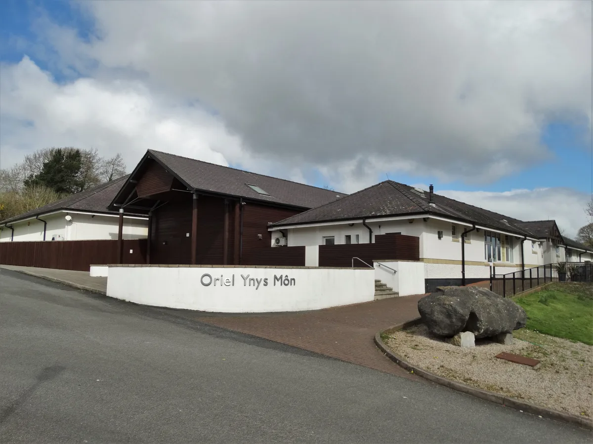
Oriel Môn
Galleries · 0.5 km

Bull Hotel
Hotels · 0.6 km

Rayner Memorial Clock Tower
Memorials & monuments · 0.6 km
Nearby
📷 5Historic churches · North Wales
St Cyngar's Church
St Cyngar's Church — Grade II listed building-listed church in wales-north, United Kingdom.
📷 5Memorials & monuments · North Wales
Llangefni County School War Memorial
Llangefni County School War Memorial — Grade II listed building-listed memorial in wales-north, United Kingdom.
📷 5Natural landmarks · North Wales
Llangefni County School
Llangefni County School — a school heritage in wales-north, United Kingdom.
📷 5Natural landmarks · North Wales
Llangefni Former Intermediate School
Llangefni Former Intermediate School — a school heritage in wales-north, United Kingdom.
📷 3Wildlife reserves · North Wales
The Dingle
The Dingle — local nature reserve in Anglesey, Wales, UK.
📷 5Historic churches · North Wales
Llangefni
Llangefni (Welsh for 'church on the river Cefni'; Welsh pronunciation: [ɬaŋˈɡɛvni]) is the county town of Anglesey in Wales. At the 2011 census, Llangefni's population was 5,116, making it the second-
Where to eat & stay near The Dingle (Nant y Pandy) Nature Reserve
Places to stay
📷 5
Campsites · North Wales
Caeau Ty'n Talwrn - Scout Campsite
Caeau Ty'n Talwrn - Scout Campsite — a campsite in wales north.
 📷 5
📷 5Caravan parks · North Wales
Mornest Caravan Park
Mornest Caravan Park — a caravan park in wales north.
 📷 5
📷 5 📷 5
📷 5 📷 5
📷 5Caravan parks · North Wales
Ael y Garnedd Caravan park
Ael y Garnedd Caravan park — a caravan park in wales north.
Places to eat & drink
 📷 5
📷 5Historic pubs · North Wales
The Bull Hotel, Llangefni
The Bull Hotel, Llangefni in Wales North, United Kingdom.
 📷 5
📷 5 📷 5
📷 5 📷 5
📷 5 📷 6
📷 6 📷 5
📷 5More forests in this region
 📷 4
📷 4Forests & woodlands · North Wales
Ceunant Llennyrch National Nature Reserve
Ceunant Llennyrch National Nature Reserve is a forest or woodland in the United Kingdom.
 📷 3
📷 3Forests & woodlands · North Wales
Coed Camlyn National Nature Reserve
Coed Camlyn National Nature Reserve is a forest or woodland in the United Kingdom.
 📷 3
📷 3Forests & woodlands · North Wales
Coed Ganllwyd National Nature Reserve
Coed Ganllwyd National Nature Reserve is a forest or woodland in the United Kingdom.
 📷 3
📷 3Forests & woodlands · North Wales
Coed Ganllwyd National Nature Reserve
Coed Ganllwyd National Nature Reserve is a forest or woodland in the United Kingdom.
Frequently asked questions
- Where is The Dingle (Nant y Pandy) Nature Reserve?
- The Dingle (Nant y Pandy) Nature Reserve is in North Wales, United Kingdom (postcode LL77 7EA), in the parish of Llangefni.
- What is The Dingle (Nant y Pandy) Nature Reserve?
- The Dingle (Nant y Pandy) Nature Reserve is a forest or woodland in the United Kingdom.
- How do I get to The Dingle (Nant y Pandy) Nature Reserve?
- The nearest railway station is Llanfairpwll, about 8.3 km away. Drivers can use postcode LL77 7EA.
- Is The Dingle (Nant y Pandy) Nature Reserve free to visit?
- Yes, The Dingle (Nant y Pandy) Nature Reserve is free to enter.
- How do I get to The Dingle (Nant y Pandy) Nature Reserve?
- Drivers can navigate to postcode LL77 7EA. It sits within the Ynys Môn parliamentary constituency.