
Beaches · North West England
The Causeway
The Causeway is a beach in the United Kingdom.

Mick Garratt — CC BY-SA 2.0 via Wikimedia Commons licence

Plan your visit
- Typical visit
- 1 h–3 h
- Best time of year
- Summer (Jun–Aug)
- Free entry
- Family-friendly
- Dog-friendly
About
The Causeway is a named beach on the United Kingdom coastline. Coordinates: 54.8654°, -3.8062°. This entry is part of The Great Britain Guide, a free, ad-free, open-data tourist directory.
Photo gallery
From the Wikipedia article
The Causeway is an arterial traffic crossing in Perth, Western Australia, linking the inner-city suburbs of East Perth and Victoria Park. It is carried over the Swan River at the eastern end of Perth Water by two bridges on either side of Heirisson Island. The current Causeway is the third structure to have been built across the river at this point. Originally the site of mudflats which restricted river navigation, the Colony Government constructed a causeway and bridge across the site. The project was first planned in 1834 and opened in 1843. When floods in 1862 almost destroyed it, the structure was rebuilt using convict labour, and raised to better withstand future floods. Governor John Hampton officially opened the new Causeway on 12 November 1867. Over the following decades, the three bridges making up this second Causeway were widened several times, and they were eventually replaced in 1952. The current Causeway bridges were designed by E W C Godfrey, and built between 1947 and 1952. They were the first in Western Australia to use steel composite construction. Large roundabouts were also constructed at each end of the structure, to improve the flow of traffic. The opening of the Graham Farmer Freeway in 2000 reduced the traffic volume on the Causeway, allowing the two central lanes to be turned into bus lanes. By the early 2000s, the concrete structures had suffered significant damage. Cracks were repaired using carbon fibre reinforcement and localised patching, extending the bridge's life by decades. The Causeway bridges have been recognised for their heritage value by their entry on the Western Australian Register of Heritage Places.
Excerpt from Wikipedia under CC BY-SA 4.0. See the source article linked in Sources below.
Background
History
Following the settlement of the Swan River Colony in 1829, the Swan River was the main transportation link between Perth and the port of Fremantle. Land transportation was difficult as the only river crossing near Perth, a ford at the eastern end of the town, was often impassable for wagons and carts. The next crossing point was 20 mi upstream at Guildford, a major detour. The only alternative to these river crossings were ferries, which operated from North Fremantle, Preston Point, and the Narrows.
Sourced from Wikipedia under CC BY-SA 4.0.
- Coordinates
- 54.8654, -3.8062
- District
- Dumfries and Galloway
- Postcode
- DG5 4QQ
- Parliamentary constituency
- Dumfries and Galloway
Sources
- osm: w887521551 (ODbL)
- wikipedia: The Causeway (CC BY-SA 4.0)
Other places nearby

Mote of Mark
Vineyards · 0.4 km

Mote of Mark Fort
Archaeological sites · 0.4 km

Rough Island
Islands · 0.6 km

Rockliffe
Beaches · 0.7 km

Muckle
Viewpoints · 0.8 km

Kippford
Villages · 1.2 km

Torbay Hill
Mountains & hills · 1.3 km

Horse Isles
Beaches · 1.4 km

Castle Hill
Mountains & hills · 1.4 km

Castle Point Caravan and Camping Site
Caravan parks · 1.5 km

Cocklehaen, Hillfort
Hill forts · 1.5 km
Nethertown Of Almorness
Vineyards · 1.5 km
Nearby
📷 5Vineyards · North West England
Mote of Mark
Mote of Mark — a UK vineyard in scotland lowlands, producing English or Welsh wine from cool-climate grape varieties.
📷 3Archaeological sites · North West England
Mote of Mark Fort
Mote of Mark Fort — a archaeological in scotland-lowlands, United Kingdom.
📷 3Islands · North West England
Rough Island
Rough Island — tidal island in Rough Firth, Dumfries and Galloway, Scotland, UK.
📷 3📷 3📷 5Where to eat & stay near The Causeway
Places to stay
📷 5Caravan parks · North West England
Castle Point Caravan and Camping Site
Castle Point Caravan and Camping Site — a caravan park in scotland lowlands.
 📷 5
📷 5Caravan parks · North West England
Coastal Kippford
Coastal Kippford — a caravan park in scotland lowlands.
 📷 5
📷 5Caravan parks · North West England
Kippford Holiday Park
Kippford Holiday Park — a caravan park in scotland lowlands.
 📷 5
📷 5Caravan parks · North West England
Sandyhills Bay Caravan Park
Sandyhills Bay Caravan Park — a caravan park in scotland lowlands.
 📷 5
📷 5Campsites · North West England
Islecroft Caravan & Camping Park
Islecroft Caravan & Camping Park — a campsite in scotland lowlands.
 📷 5
📷 5Campsites · North West England
Lochside Caravan and Camping Site
Lochside Caravan and Camping Site — a campsite in scotland lowlands.
Places to eat & drink
 📷 5
📷 5Historic pubs · North West England
The Old Smugglers Inn, 13 Main Street, 9, Auchencairn
The Old Smugglers Inn, 13 Main Street, 9, Auchencairn in Scotland Lowlands, United Kingdom.
 📷 5
📷 5Historic pubs · North West England
Masonic Arms, 19 Castle Street, Kirkcudbright
Masonic Arms, 19 Castle Street, Kirkcudbright in Scotland Lowlands, United Kingdom.
More beaches in this region
 📷 3
📷 3Beaches · North West England
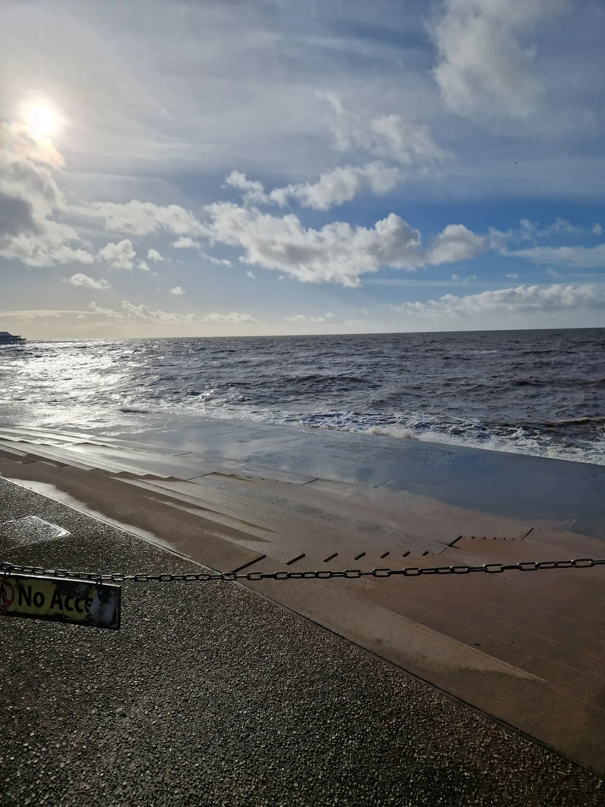
Blackpool Sands
Blackpool Sands — beach in Blackpool, Lancashire, England.
 📷 3
📷 3 📷 3
📷 3Beaches · North West England
Creek Beach North
Creek Beach North is a beach in the United Kingdom.
📷 3Beaches · North West England
Creek Beach South
Creek Beach South is a beach in the United Kingdom.
Frequently asked questions
- Where is The Causeway?
- The Causeway is in North-West England, United Kingdom (postcode DG5 4QQ).
- What is The Causeway?
- The Causeway is a beach in the United Kingdom.
- How do I get to The Causeway?
- Drivers can use postcode DG5 4QQ.
- Is The Causeway free to visit?
- Yes, The Causeway is free to enter.
- How do I get to The Causeway?
- Drivers can navigate to postcode DG5 4QQ. It sits within the Dumfries and Galloway parliamentary constituency.