
Castles · Mid Wales
The Camp
In or near Aconbury.
The Camp — a castle in wales south.

Jaggery — CC BY-SA 2.0 via Wikimedia Commons licence

Plan your visit
- Typical visit
- 1.5 h–3 h
- Nearest railway station
- Broomy Hill · 8.1 km
About
The Camp is a named castle in wales south, recorded in the GeoNames UK gazetteer. British landmarks of this type are typically marked on Ordnance Survey maps and recorded in the national gazetteer for cartographic and navigational reference. Coordinates and feature classification are sourced from the GeoNames open dataset.
Photo gallery
Protected designations
- Site of Special Scientific Interest: River Wye SSSI
- Area of Outstanding Natural Beauty: Wye Valley
Designations sourced from Natural England open data under OGL v3.
Place summary
The Camp is a castle located in Much Dewchurch, South Wales, within the Wye Valley Area of Outstanding Natural Beauty (AONB). It is situated near the River Wye, which is designated as a Site of Special Scientific Interest (SSSI). The castle's setting offers a combination of historical significance and natural beauty, making it a notable feature in the region.
AI-generated from the structured facts on this page (operator, designation, listing, era). Not a substitute for visiting.
- Coordinates
- 51.9773, -2.7505
- District
- Herefordshire, County of
- Parish
- Much Dewchurch
- Postcode
- HR2 8DY
- Parliamentary constituency
- Hereford and South Herefordshire
- Nearest railway station
- Broomy Hill — 8.1 km
Sources
- manual: geonames-6287151 (CC BY 4.0)
Other places nearby
Ringwork 750m west of Grove Farm
Literary houses · 0.0 km

Much Dewchurch
Villages · 0.3 km

Black Swan
Historic pubs · 0.3 km

Much Dewchurch War Memorial
Memorials & monuments · 0.5 km

Wormelow Tump
Museums · 1.1 km

Violette Szabo Museum
Museums · 1.3 km

Bryngwyn Hill
Mountains & hills · 1.5 km

Kings Thorn Dragon
Public art & sculpture · 2.2 km

Aconbury Camp
Vineyards · 2.5 km

Aconbury Camp
Archaeological sites · 2.6 km

Aconbury Hill
Mountains & hills · 2.7 km
Aconbury Hill
Mountains & hills · 2.7 km
Nearby
📷 5Literary houses · Mid Wales
Ringwork 750m west of Grove Farm
Ringwork 750m west of Grove Farm — a literary house museum in wales south.
📷 5📷 7Historic pubs · Mid Wales
Black Swan
Black Swan — Historic pub — listed building or notable heritage status.
📷 3Memorials & monuments · Mid Wales
Much Dewchurch War Memorial
Much Dewchurch War Memorial — Grade II listed building-listed memorial in wales-south, United Kingdom.
📷 5Museums · Mid Wales
Wormelow Tump
Wormelow Tump — a museum in wales-south, United Kingdom.
📷 3Museums · Mid Wales
Violette Szabo Museum
Violette Szabo Museum — a museum in wales-south, United Kingdom.
Where to eat & stay near The Camp
Places to stay
 📷 5
📷 5 📷 5
📷 5Caravan parks · South Wales
Burhope Farm Camping & Caravan Site
Burhope Farm Camping & Caravan Site — a caravan park in wales south.
 📷 5
📷 5 📷 5
📷 5 📷 5
📷 5Hotels · West Midlands
The Green Dragon
The Green Dragon — a hotel in wales mid.
 📷 5
📷 5Caravan parks · South Wales
Trippenkennett Farm Caravan & Camp Site
Trippenkennett Farm Caravan & Camp Site — a caravan park in wales south.
Places to eat & drink
📷 7Historic pubs · Mid Wales
Black Swan
Black Swan — Historic pub — listed building or notable heritage status.
 📷 7
📷 7Historic pubs · South West England
The Lough Pool Inn
The Lough Pool Inn in Wales South, United Kingdom.
 📷 5
📷 5Historic pubs · West Midlands
Black Lion Inn
Black Lion Inn in England West Midlands, United Kingdom.
 📷 5
📷 5Historic pubs · West Midlands
Spread Eagle Inn
Spread Eagle Inn in England West Midlands, United Kingdom.
 📷 5
📷 5Historic pubs · West Midlands
The Grapes Tavern
The Grapes Tavern in England West Midlands, United Kingdom.
 📷 5
📷 5Historic pubs · West Midlands
Oxford Arms Inn
Oxford Arms Inn in England West Midlands, United Kingdom.
More castles in this region
 📷 3
📷 3Castles · Mid Wales
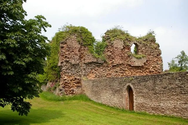
Alberbury Castle
Alberbury Castle — castle in Alberbury with Cardeston, Shropshire, England, UK.
 📷 5
📷 5Castles · Mid Wales
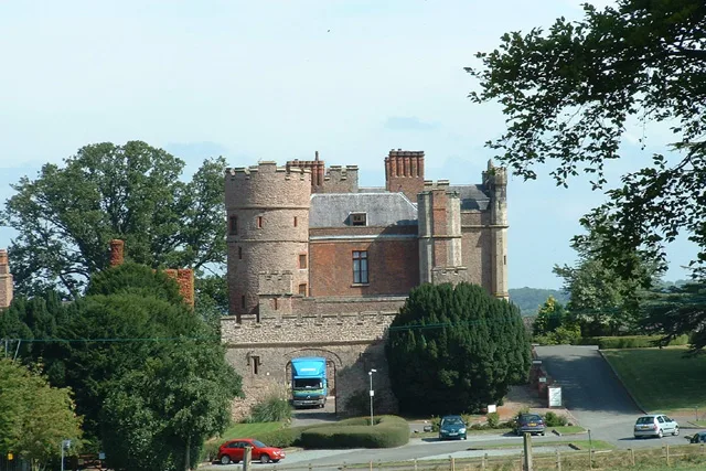
Rowton Castle
Rowton Castle — castle in Alberbury with Cardeston, Shropshire, England, UK.
 📷 4
📷 4Castles · Mid Wales
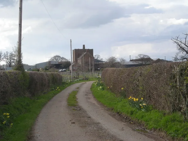
Wattlesborough Castle
Wattlesborough Castle — Grade I listed castle in Shropshire, England, UK.
 📷 5
📷 5Castles · Mid Wales
Wollaston, Shropshire
Wollaston, Shropshire — a castle in wales-north, United Kingdom.
Frequently asked questions
- Where is The Camp?
- The Camp is in South Wales, United Kingdom (postcode HR2 8DY), in the parish of Much Dewchurch.
- What is The Camp?
- The Camp — a castle in wales south.
- How do I get to The Camp?
- The nearest railway station is Broomy Hill, about 8.1 km away. Drivers can use postcode HR2 8DY.
- Is The Camp a protected site?
- Yes — The Camp is part of the River Wye SSSI Site of Special Scientific Interest and the Wye Valley National Landscape (AONB).
- Does The Camp charge admission?
- The Camp typically charges admission. Check the official site for current ticket prices and opening hours.
- How do I get to The Camp?
- Drivers can navigate to postcode HR2 8DY. It sits within the Hereford and South Herefordshire parliamentary constituency.