
Mountains & hills · Central Scotland
The Bing
In or near Dunfermline.
The Bing — mountain in scotland central. Elevation: 188 m.

Trevor Littlewood — CC BY-SA 2.0 via Wikimedia Commons licence

Plan your visit
- Typical visit
- 3 h–8 h
- Best time of year
- Late spring – early autumn (May–Oct)
- Nearest railway station
- Eddie's Rest · 4.6 km
- Dog-friendly
About
The Bing is a mountain located in scotland central. Elevation: 188 m. A named British peak recorded in OpenStreetMap. Peaks are typically named on Ordnance Survey 1:50k mapping.
Photo gallery
Place summary
The Bing is a mountain located in central Scotland. It is characterised by its distinctive shape and prominence in the landscape. Visitors can expect a typical mountainous terrain, offering opportunities for walking and exploring the natural environment. The area is suitable for outdoor enthusiasts seeking to experience the rugged beauty of Scotland.
AI-generated from the structured facts on this page (operator, designation, listing, era). Not a substitute for visiting.
- Coordinates
- 56.1425, -3.4134
- District
- Perth and Kinross
- Postcode
- KY4 0JF
- Parliamentary constituency
- Perth and Kinross-shire
- Nearest railway station
- Eddie's Rest — 4.6 km
Sources
- osm: n2980107149 (ODbL)
Other places nearby

Blairhill
Mountains & hills · 0.4 km

Filter Beds (Fife County Council Water Works)
Historic houses · 0.9 km
Reservoir (Lochgelly Town Council Water Works)
Historic houses · 1.1 km

Walled Garden and Adam Monument, Blair Adam
Memorials & monuments · 1.1 km

Cowden Knowe
Mountains & hills · 1.3 km

Blairadam Mill
Archaeological sites · 1.5 km
Cowden Hill
Mountains & hills · 1.6 km

New Reservoir (Lochgelly Town Council Water Works)
Historic houses · 1.6 km

Keltybridge
Historic bridges · 1.6 km
Kelty Bridge
Historic bridges · 1.6 km

Kelty Collieries Miners Memorial
Memorials & monuments · 1.7 km
Wee Chief
Public art & sculpture · 1.8 km
Nearby
📷 5Mountains & hills · Central Scotland
Blairhill
Blairhill — mountain in scotland central. Elevation: 225 m.
📷 3Historic houses · Central Scotland
Filter Beds (Fife County Council Water Works)
Filter Beds (Fife County Council Water Works) — a historic house in Central Scotland, United Kingdom.
📷 3Historic houses · Central Scotland
Reservoir (Lochgelly Town Council Water Works)
Reservoir (Lochgelly Town Council Water Works) — a historic house in Central Scotland, United Kingdom.
📷 5Memorials & monuments · Central Scotland
Walled Garden and Adam Monument, Blair Adam
Walled Garden and Adam Monument, Blair Adam — category B listed building-listed memorial in scotland-central, United Kingdom.
📷 5Mountains & hills · Central Scotland
Cowden Knowe
Cowden Knowe — mountain in scotland central. Elevation: 281 m.
📷 3Archaeological sites · Central Scotland
Blairadam Mill
Blairadam Mill — an archaeological site in Central Scotland, United Kingdom.
Where to eat & stay near The Bing
Places to stay
 📷 5
Caravan parks · Central Scotland
Lochore Meadows Motorhome Parking
Lochore Meadows Motorhome Parking — a caravan park in scotland central.
 📷 5
 📷 5
Caravan parks · Central Scotland
Portmoak Caravan Site
Portmoak Caravan Site — a caravan park in scotland central.
 📷 5
Hotels · Central Scotland
Garvock House Hotel
Garvock House Hotel — a hotel in scotland central.
 📷 5
Campsites · Central Scotland
Gallowhill Campsite
Gallowhill Campsite — a campsite in scotland central.
 📷 5
Campsites · Central Scotland
Green Oak Nature Retreat
Green Oak Nature Retreat — a campsite in scotland central.
Places to eat & drink
 📷 6
Historic pubs · Central Scotland
The Burgh Arms
The Burgh Arms in Scotland Islands, United Kingdom.
 📷 5
Historic pubs · Central Scotland
The Star Tavern, 71-73 High Street, Burntisland
The Star Tavern, 71-73 High Street, Burntisland in Scotland Central, United Kingdom.
 📷 5
Historic pubs · Central Scotland
The Robert Nairn
The Robert Nairn in Scotland Central, United Kingdom.
 📷 7
Historic pubs · Central Scotland
The Royal Scot, 395-399 High Street, Kirkcaldy
The Royal Scot, 395-399 High Street, Kirkcaldy in Scotland Central, United Kingdom.
 📷 7
Historic pubs · Central Scotland
461 and 463 High Street, Kirkcaldy
461 and 463 High Street, Kirkcaldy in Scotland Central, United Kingdom.
 📷 7
Historic pubs · Central Scotland
Red Lion Inn, Low Causeway, Culross
Red Lion Inn, Low Causeway, Culross in Scotland Central, United Kingdom.
More mountains in this region
 📷 3
 📷 3
 📷 3
Mountains & hills · Central Scotland
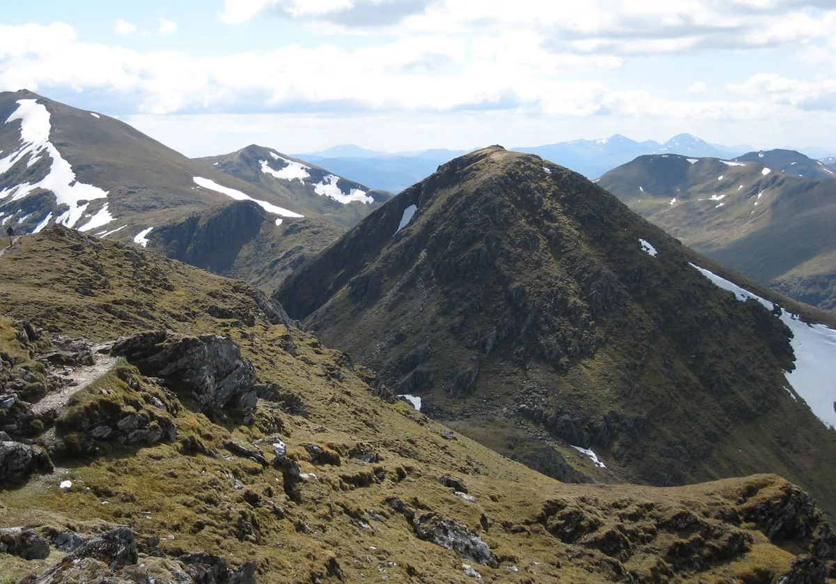
An Caisteal
An Caisteal — Named summit at 995 m.
 📷 5
Frequently asked questions
- Where is The Bing?
- The Bing is in central Scotland, United Kingdom (postcode KY4 0JF).
- What is The Bing?
- The Bing — mountain in scotland central. Elevation: 188 m.
- How do I get to The Bing?
- The nearest railway station is Eddie's Rest, about 4.6 km away. The nearest town is Dunfermline. Drivers can use postcode KY4 0JF.
- How do I get to The Bing?
- The nearest railway station is Eddie's Rest, about 4.6 km away. Drivers can navigate to postcode KY4 0JF.