
Archaeological sites · Central Scotland
Tentsmuir Forest
Also known as: Coille Tentsmuir
In or near Guardbridge.
Tentsmuir Forest — forest in north east Fife, Scotland, UK.

Wikimedia Commons contributors — see linked file page for photographer and licence licence

Plan your visit
- Typical visit
- 45 min–1.5 h
- Nearest railway station
- Broughty Ferry · 5.9 km
- Free entry
- Dog-friendly
Getting there & planning your visit
To visit Tentsmuir Forest, the nearest railway station is Broughty Ferry, located 5.9 km away. The postcode for sat-nav is DD6 9PF, and entry is free.
About
Tentsmuir Forest is an archaeological site in the United Kingdom. Wikidata describes it as: "forest in north east Fife, Scotland, UK". Coordinates: 56.4200°, -2.8300°.
Photo gallery
From the Wikipedia article
Tentsmuir Forest is in north east Fife, Scotland. Covering some 5 square miles (13 km2), the forest was originally sand dunes and moorland before acquisition by the Forestry Commission in the 1920s. The forest consists mainly of Scots pine and Corsican pine, and is now owned by Forestry and Land Scotland, successor body to the Forestry Commission. Three parts of the area, Morton Lochs, Tentsmuir Point and Tayport Heath are managed by NatureScot, and are now designated as Tentsmuir National Nature Reserve, with Tentsmuir Forest covering most of the land between the three portions of the NNR. Tentsmuir is notable for the many concrete blocks known as 'Dragon's Teeth' distributed along the shoreline, which acted as coastal defence against landing craft during World War II. The nearby Leuchars Station means that military aircraft are often seen (and heard), but aviation links go back to 1911 with the setting up of a Royal Engineers training camp. During World War II, troops of the Polish Army were based here to staff the coastal defences. Also of interest is a 19th-century icehouse, historically used to store salmon but now an important artificial bat roost. Red squirrels can be found at Morton Lochs.
Excerpt from Wikipedia under CC BY-SA 4.0. See the source article linked in Sources below.
- Coordinates
- 56.4200, -2.8300
- District
- Fife
- Postcode
- DD6 9PF
- Parliamentary constituency
- North East Fife
- Nearest railway station
- Broughty Ferry — 5.9 km
Sources
- wikidata: Q7700914 (CC0)
- wikipedia: Tentsmuir Forest (CC BY-SA 4.0)
- commons: Tentsmuir Forest1.jpg (CC BY-SA 4.0)
Other places nearby

Kinshaldy Beach
Beaches · 1.5 km

Polish Camp (WWII)
Historic houses · 1.9 km

Bridge, Morton
Historic bridges · 2.5 km

Morton Lochs
Parks · 2.8 km

Tentsmuir National Nature Reserve
Forests & woodlands · 3.0 km

Green Scalp
Beaches · 3.1 km

Larick Campsite
Campsites · 3.5 km

The Beeches
Campsites · 3.5 km

Tayport Links Caravan Park
Caravan parks · 3.6 km

Episcopal Church, Queen Street, Tayport
Historic churches · 4.2 km
War Memorial Lychgate
Memorials & monuments · 4.3 km

Tayport
Villages · 4.3 km
Nearby
📷 3📷 3Historic houses · Central Scotland
Polish Camp (WWII)
Polish Camp (WWII) — a historic house in scotland-central, United Kingdom.
📷 5Historic bridges · Central Scotland
Bridge, Morton
Bridge, Morton — category C listed building-listed bridge in scotland-central, United Kingdom.
📷 3📷 3Forests & woodlands · Central Scotland
Tentsmuir National Nature Reserve
Tentsmuir National Nature Reserve is a forest or woodland in the United Kingdom.
📷 2Where to eat & stay near Tentsmuir Forest
Places to stay
📷 5Campsites · Central Scotland
Larick Campsite
Larick Campsite — a campsite in scotland central.
📷 5Campsites · Central Scotland
The Beeches
The Beeches — a campsite in scotland central.
📷 5Caravan parks · Central Scotland
Tayport Links Caravan Park
Tayport Links Caravan Park — a caravan park in scotland central.
 📷 5
📷 5 📷 5
📷 5Caravan parks · Central Scotland
TayView Caravan & Camping Park
TayView Caravan & Camping Park — a caravan park in scotland central.
 📷 5
📷 5Caravan parks · Central Scotland
Riverview Caravan Park
Riverview Caravan Park — a caravan park in scotland central.
Places to eat & drink
 📷 5
📷 5Historic pubs · Central Scotland
The Eagle Inn, 157-159 King Street, Broughty Ferry, Dundee
The Eagle Inn, 157-159 King Street, Broughty Ferry, Dundee in Scotland Central, United Kingdom.
 📷 6
📷 6 📷 7
📷 7Historic pubs · Central Scotland
The Stance and Drum Public House, 16 Dock Street, Dundee
The Stance and Drum Public House, 16 Dock Street, Dundee in Scotland Central, United Kingdom.
📷 5Historic pubs · Central Scotland
Calcutta Buildings, 16, 18 Commercial Street, Dundee
Calcutta Buildings, 16, 18 Commercial Street, Dundee in Scotland Central, United Kingdom.
 📷 5
📷 5Historic pubs · Central Scotland
Public House, 15 Dock Street, Dundee
Public House, 15 Dock Street, Dundee in Scotland Central, United Kingdom.
 📷 5
📷 5More archaeological sites in this region
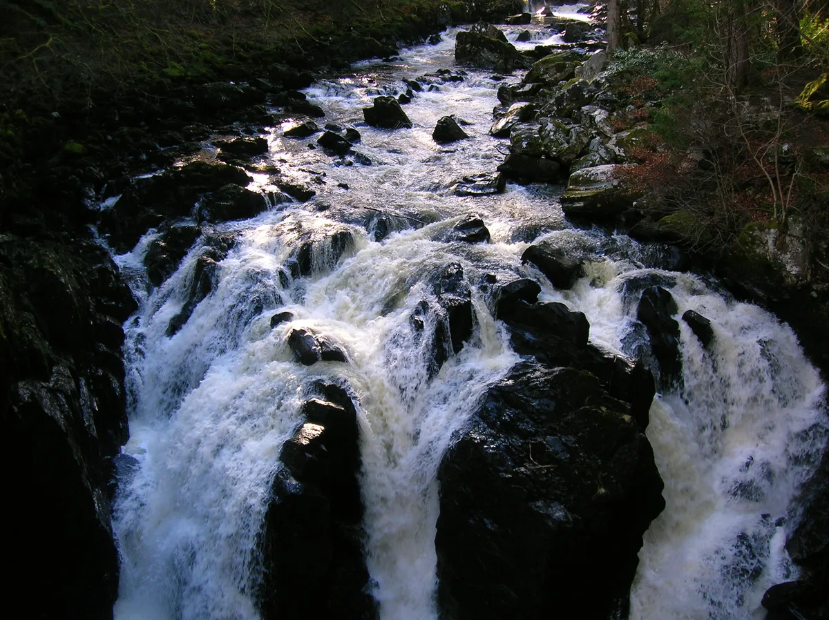 📷 3
📷 3Archaeological sites · Central Scotland
Craigvinean Forest
Craigvinean Forest — forest in Perth and Kinross, Scotland, UK.
 📷 5
📷 5Archaeological sites · Central Scotland
Ballymeanoch
Ballymeanoch in Scotland Islands, United Kingdom.
 📷 5
📷 5Archaeological sites · Central Scotland
Stirling torcs
Stirling torcs in Scotland Islands, United Kingdom.
 📷 3
📷 3Archaeological sites · Central Scotland
Black Hill Roman Camps
Black Hill Roman Camps in Scotland Islands, United Kingdom.
Frequently asked questions
- Where is Tentsmuir Forest?
- Tentsmuir Forest is in central Scotland, United Kingdom (postcode DD6 9PF).
- What is Tentsmuir Forest?
- Tentsmuir Forest — forest in north east Fife, Scotland, UK.
- How do I get to Tentsmuir Forest?
- The nearest railway station is Broughty Ferry, about 5.9 km away. Drivers can use postcode DD6 9PF.
- Is Tentsmuir Forest free to visit?
- Yes, Tentsmuir Forest is free to enter.
- How do I get to Tentsmuir Forest?
- The nearest railway station is Broughty Ferry, about 5.9 km away. Drivers can navigate to postcode DD6 9PF.