
Gardens · South Wales
Temple Druid
In or near Wiston.
Temple Druid — a garden in wales-south, United Kingdom.

ceridwen — CC BY-SA 2.0 via Wikimedia Commons licence

Plan your visit
- Typical visit
- 1 h–2.5 h
- Best time of year
- Spring & summer (Apr–Sep)
- Nearest railway station
- Clunderwen · 8.3 km
- Dog-friendly
Getting there & planning your visit
To visit Temple Druid in Pembrokeshire, the nearest railway station is Clunderwen, located 8.3 km away. The postcode for sat-nav is SA66 7XS. Entry details are not specified, so please check in advance for accessibility information.
About
Temple Druid is a garden of interest in wales-south, United Kingdom — drawn from open-data sources for visitor reference. See the linked Wikipedia article for the full description.
Photo gallery
Heritage listing
http://cadwpublic-api.azurewebsites.net/reports/listedbuilding/FullReport?lang=en&id=6079
From Cadw under OGL v3.
From the Wikipedia article
Temple Druid is a grade II listed John Nash house in west Wales, Pembrokeshire, Great Britain. Temple Druid, named after a series of standing stones and cromlech, is a house located about 3⁄4 of mile (1.2 km) east of the village of Maenclochog.
Excerpt from Wikipedia under CC BY-SA 4.0. See the source article linked in Sources below.
Background
History
The house was designed and built for Henry Bulkeley by John Nash, architect to the Prince Regent, in c1795. The site was originally called Bwlch-y-Clawdd (Gap in the Hedge) but was renamed when the house was built. The house was designed as a hunting lodge, with stables and coach houses. The estate also included a farmhouse and three cottages which continue to be used. Bulkeley lived in the house from 1806 until his death in 1821. Unfortunately the house was shortly after dismantled and the particulars of the house sold. The sales notice, described in the Cambrian Journal in 1821 states the following" An "excellent mansion house" on three floors, it contained six apartments for servants in…
Sourced from Wikipedia under CC BY-SA 4.0.
- Coordinates
- 51.9108, -4.7691
- District
- Pembrokeshire
- Parish
- Maenclochog
- Postcode
- SA66 7XS
- Parliamentary constituency
- Ceredigion Preseli
- Nearest railway station
- Clunderwen — 8.3 km
Sources
- wikidata: Q7698516 (CC0)
- wikipedia: Temple Druid (CC BY-SA 4.0)
Other places nearby

Coed Temple Druid
Campsites · 0.2 km

Castell Forlan
Vineyards · 0.8 km

Llandilo quarry
Quarries · 0.8 km

Penrhos
Mountains & hills · 1.2 km

Maenclochog Castle
Castles · 1.2 km

Y Gaer, Manor Pound, Maenclochog
Literary houses · 1.3 km

Maenclochog
Villages · 1.3 km

Maenclochog war Memorial
Memorials & monuments · 1.3 km

Linda Noris Gallery
Public art & sculpture · 1.3 km

Penrhos Cottage
Museums · 1.5 km

Tirbach Farm
Campsites · 1.6 km

Castell Pengawsai
Literary houses · 1.6 km
Nearby
📷 5Campsites · South Wales
Coed Temple Druid
Coed Temple Druid — a campsite in wales south.
📷 5Vineyards · South Wales
Castell Forlan
Castell Forlan — a UK vineyard in wales south, producing English or Welsh wine from cool-climate grape varieties.
📷 3Quarries · South Wales
Llandilo quarry
Llandilo quarry — former slate quarry in the hamlet of Llandilo, in the community of Maenclochog, Pembrokeshire, Wales, United Kingdom.
📷 5📷 3Castles · South Wales
Maenclochog Castle
Maenclochog Castle — a castle in wales-south, United Kingdom.
📷 5Literary houses · South Wales
Y Gaer, Manor Pound, Maenclochog
Y Gaer, Manor Pound, Maenclochog — a literary house museum in wales south.
Where to eat & stay near Temple Druid
Places to stay
📷 5Campsites · South Wales
Coed Temple Druid
Coed Temple Druid — a campsite in wales south.
 📷 5
📷 5 📷 5
📷 5Campsites · South Wales
Bloomfield Farm Caravan and Camping
Bloomfield Farm Caravan and Camping — a campsite in wales south.
 📷 5
📷 5Caravan parks · South Wales
Rosebush Holiday Park
Rosebush Holiday Park — a caravan park in wales south.
 📷 5
📷 5Places to eat & drink
 📷 4
📷 4Historic pubs · Mid Wales
Dyffryn Arms
Dyffryn Arms — Historic pub — listed building or notable heritage status.
 📷 4
📷 4Historic pubs · Mid Wales
Crymmych Arms railway station
Crymmych Arms railway station in Wales Mid, United Kingdom.
 📷 3
📷 3 📷 7
📷 7
 📷 4
📷 4Historic pubs · Mid Wales
Cardiff Arms
Cardiff Arms — Historic pub — listed building or notable heritage status.
More gardens in this region
 📷 3
📷 3Gardens · South Wales
Clyne Gardens
Clyne Gardens — botanical garden in Swansea, Wales.
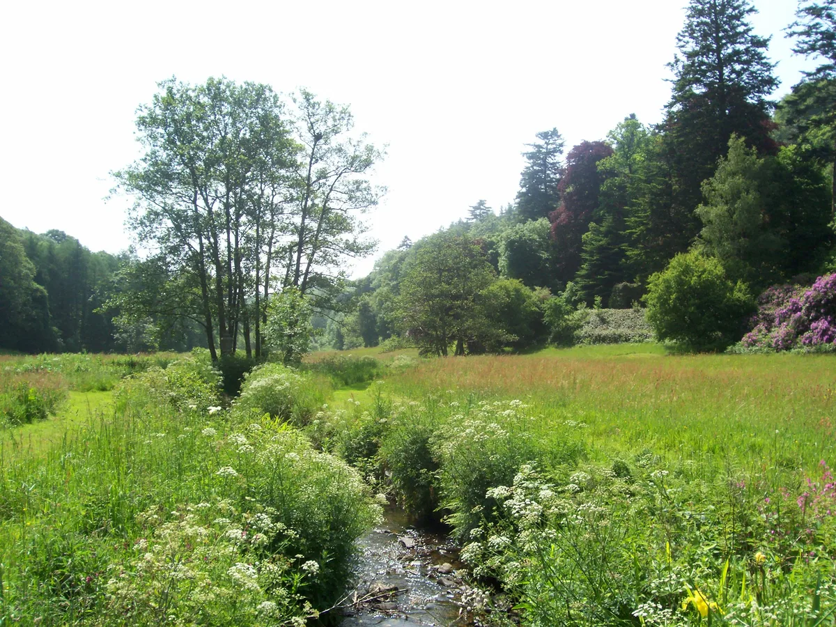 📷 3
📷 3Gardens · South Wales
Colby Woodland Garden
Colby Woodland Garden — garden in Pembrokeshire, Wales, UK.
 📷 3
📷 3Gardens · South Wales
Cresselly House
Cresselly House — country house in Pembrokeshire, UK.
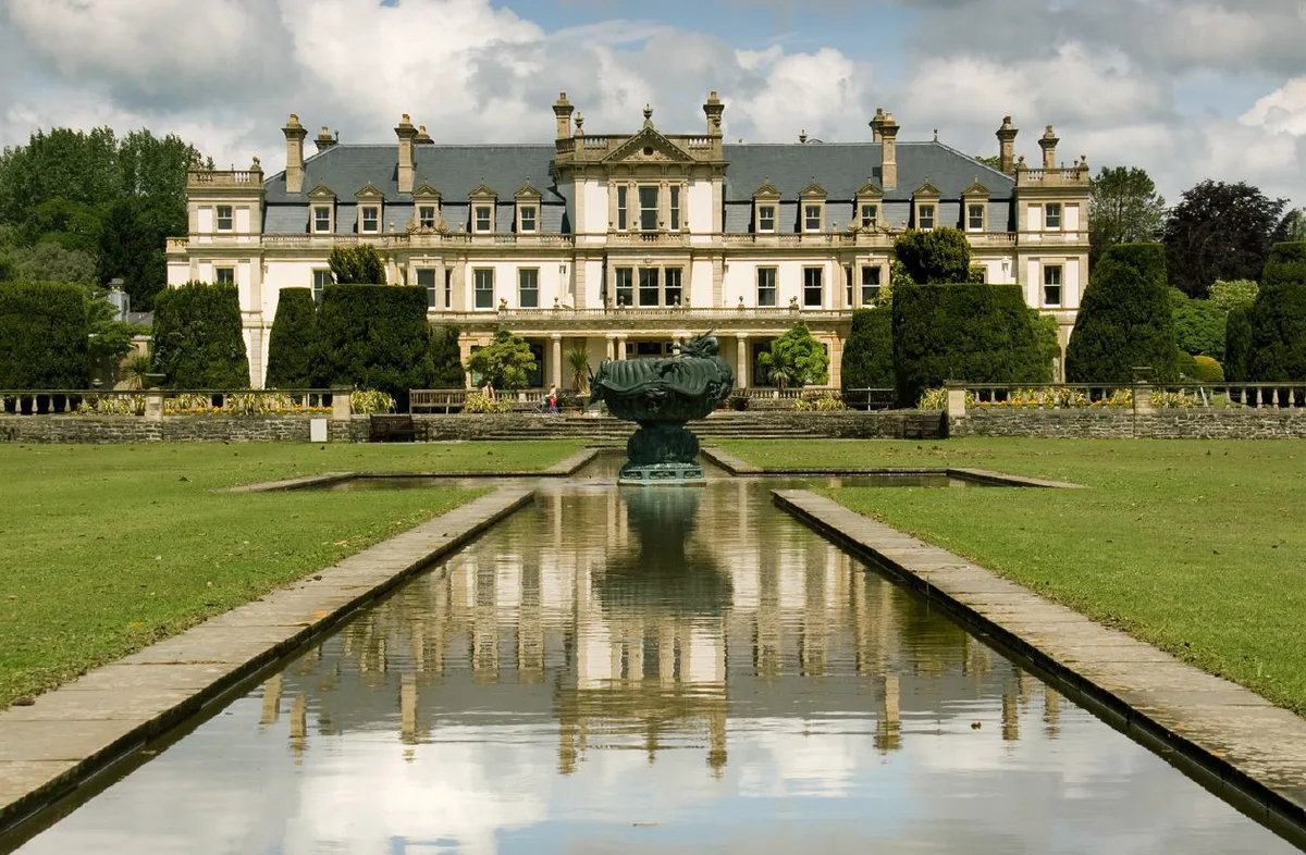 📷 3
📷 3Gardens · South Wales
Dyffryn Gardens
Dyffryn Gardens — botanical gardens in Wales.
Frequently asked questions
- Where is Temple Druid?
- Temple Druid is in South Wales, United Kingdom (postcode SA66 7XS), in the parish of Maenclochog.
- What is Temple Druid?
- Temple Druid — a garden in wales-south, United Kingdom.
- How do I get to Temple Druid?
- The nearest railway station is Clunderwen, about 8.3 km away. Drivers can use postcode SA66 7XS.
- Is Temple Druid a listed building?
- Temple Druid is officially recognised as II listed.
- How do I get to Temple Druid?
- Drivers can navigate to postcode SA66 7XS. It sits within the Ceredigion Preseli parliamentary constituency.