Natural landmarks · Northern Ireland
Teemore
Also known as: An Tigh Mór
In or near Newtownbutler.
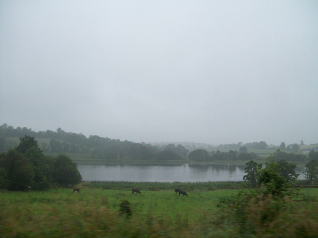
Teemore in Northern Ireland, United Kingdom.

Kenneth Allen — CC BY-SA 2.0 via Wikimedia Commons licence
Plan your visit
- Typical visit
- 1 h–2 h
- Free entry
- Dog-friendly
About
Teemore is a place of interest in Northern Ireland, United Kingdom — drawn from open-data sources for visitor reference. See the linked Wikipedia article for the full description.
Photo gallery
From the Wikipedia article
Teemore (from Irish An Tigh Mór 'the Great House') is a small village and townland in the south of County Fermanagh in Northern Ireland, three miles south of Derrylin. The Erne West F5 region, of which Teemore is the sole settlement, had a population of 528 as of the 2021 census. It is situated within the Fermanagh and Omagh District Council area. The official opening of the Shannon-Erne Waterway took place at Corraguil Lock, near Teemore, on 23 May 1994.
Excerpt from Wikipedia under CC BY-SA 4.0. See the source article linked in Sources below.
- Coordinates
- 54.1550, -7.5290
- District
- Fermanagh and Omagh
- Postcode
- BT92 9BG
- Parliamentary constituency
- Fermanagh and South Tyrone
Sources
Other places nearby

Derryart
Natural landmarks · 0.7 km

Derrintony
Natural landmarks · 1.4 km

Aghindisert
Natural landmarks · 2.0 km

Knockarevan
Natural landmarks · 2.0 km

Formil
Mountains & hills · 2.0 km

Derryhooly
Mountains & hills · 2.0 km
Drumettagh
Mountains & hills · 2.5 km
Ummera
Natural landmarks · 2.6 km

Gortaree
Natural landmarks · 2.7 km

Carickaleese
Natural landmarks · 2.9 km

Gortineddan
Natural landmarks · 3.0 km

Knockadoois
Natural landmarks · 3.4 km
Nearby
📷 5📷 3📷 3Natural landmarks · Northern Ireland
Aghindisert
Aghindisert in Northern Ireland, United Kingdom.
📷 3Natural landmarks · Northern Ireland
Knockarevan
Knockarevan in Northern Ireland, United Kingdom.
📷 5📷 5Mountains & hills · Northern Ireland
Derryhooly
Derryhooly — mountain in northern ireland. Elevation: 72 m.
Where to eat & stay near Teemore
Places to stay
 📷 5
📷 5 📷 3
📷 3Caravan parks · Northern Ireland
Lisnaskea Caravan Park
Lisnaskea Caravan Park — a caravan park in northern ireland.
 📷 4
📷 4Caravan parks · Northern Ireland
Riverside Farm, Marina & Caravan Park
Riverside Farm, Marina & Caravan Park — a caravan park in northern ireland.
More natural landmarks in this region
 Flagship📷 4
Natural landmarks · Northern Ireland
Lough Erne
Lough Erne — lake in County Fermanagh, Northern Ireland, UK.
 Flagship📷 4
Natural landmarks · Northern Ireland
Lough Neagh
Lough Neagh — large lake in Northern Ireland.
 📷 3
📷 3Natural landmarks · Northern Ireland
Ballysaggart Lough
Ballysaggart Lough — lake in the United Kingdom.
 📷 5
📷 5Natural landmarks · Northern Ireland
Belmore Mountain
Belmore Mountain — mountain in the United Kingdom.
Frequently asked questions
- Where is Teemore?
- Teemore is in Northern Ireland, United Kingdom (postcode BT92 9BG).
- What is Teemore?
- Teemore in Northern Ireland, United Kingdom.
- How do I get to Teemore?
- Drivers can use postcode BT92 9BG.
- Is Teemore free to visit?
- Yes, Teemore is free to enter.
- How do I get to Teemore?
- Drivers can navigate to postcode BT92 9BG. It sits within the Fermanagh and South Tyrone parliamentary constituency.