Natural landmarks · Northern Ireland
Teebane bombing
Also known as: Buamáil an Taoibh Bháin (1992)
In or near Loughmacrory.
Teebane bombing in Northern Ireland, United Kingdom.

Kenneth Allen — CC BY-SA 2.0 via Wikimedia Commons licence
Plan your visit
- Typical visit
- 1 h–2 h
- Free entry
- Dog-friendly
About
Teebane bombing is a place of interest in Northern Ireland, United Kingdom — drawn from open-data sources for visitor reference. See the linked Wikipedia article for the full description.
Photo gallery
From the Wikipedia article
The Teebane bombing (or Teebane massacre) took place on 17 January 1992 at a rural crossroads between Omagh and Cookstown in County Tyrone, Northern Ireland. A roadside bomb destroyed a van carrying 14 construction workers who had been repairing a British Army base in Omagh. Eight of the men were killed and the rest were wounded. Most were civilians, while one of those killed and two of the wounded were off-duty British soldiers. The Provisional Irish Republican Army (IRA) claimed responsibility, saying the workers were targeted because they were collaborating with the "forces of occupation". As all of those killed were Protestants, some saw the bombing as a sectarian attack against their community. On 5 February, the loyalist Ulster Defence Association (UDA) retaliated by shooting dead five Catholics at a betting shop in Belfast.
Excerpt from Wikipedia under CC BY-SA 4.0. See the source article linked in Sources below.
Background
History
Since the beginning of its campaign in 1970, the Provisional IRA had launched frequent attacks on British Army and Royal Ulster Constabulary (RUC) bases in Northern Ireland. In August 1985 it began targeting civilians who offered services to the security forces, particularly those employed by the security forces to maintain and repair its bases. The first to be killed was Seamus McAvoy (46), a Catholic who was shot dead at his home in Dublin for selling portable buildings to the RUC. In October 1990, the IRA launched three "proxy bomb" attacks. Three men, who worked for the security forces, were tied into cars loaded with explosives and ordered to drive to British Army checkpoints while…
Sourced from Wikipedia under CC BY-SA 4.0.
- Coordinates
- 54.6620, -6.9580
- District
- Mid Ulster
- Postcode
- BT80 9PL
- Parliamentary constituency
- Mid Ulster
Sources
- wikidata: Q7694192 (CC0)
- wikipedia: Teebane bombing (CC BY-SA 4.0)
Other places nearby

Dunnamore
Natural landmarks · 2.2 km

Kildress Wolfe Tones GAC
Natural landmarks · 3.3 km

Black Bog
Natural landmarks · 4.2 km

Beaghmore Stone Circle F
Stone circles · 4.5 km

Beaghmore Stone Circle G
Stone circles · 4.5 km

Cregganconroe
Mountains & hills · 4.5 km

Beaghmore Stone Circle D
Stone circles · 4.6 km
Beaghmore
Hill forts · 4.6 km
Beaghmore Stone Circle C
Stone circles · 4.6 km
Beaghmore Stone Circle E
Stone circles · 4.6 km
Beaghmore Stone Circle A
Stone circles · 4.6 km
Beaghmore Stone Circle B
Stone circles · 4.6 km
Nearby
📷 4📷 3Natural landmarks · Northern Ireland
Kildress Wolfe Tones GAC
Kildress Wolfe Tones GAC in Northern Ireland, United Kingdom.
📷 5📷 3Stone circles · Northern Ireland
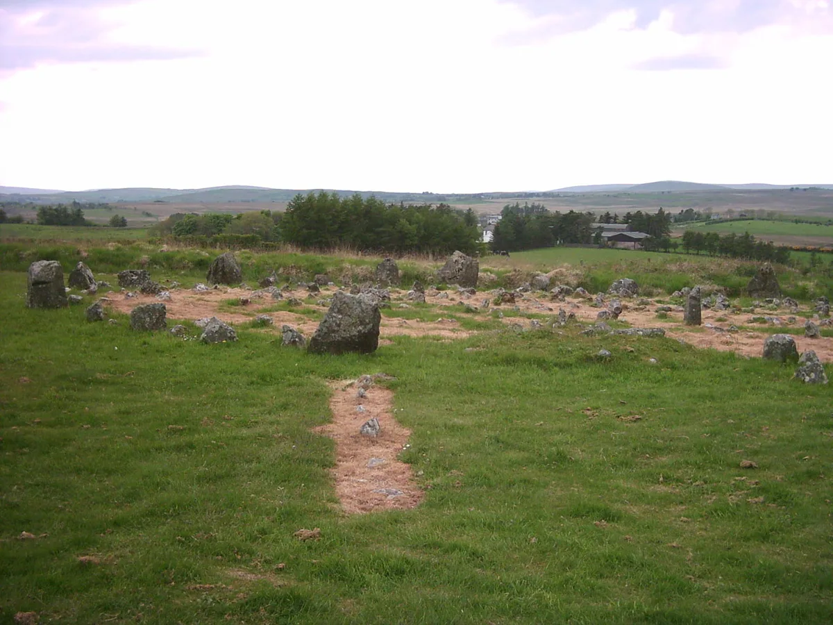
Beaghmore Stone Circle F
Beaghmore Stone Circle F — a stone circle in northern-ireland, United Kingdom.
📷 3Stone circles · Northern Ireland
Beaghmore Stone Circle G
Beaghmore Stone Circle G — a stone circle in northern-ireland, United Kingdom.
📷 5Mountains & hills · Northern Ireland
Cregganconroe
Cregganconroe — mountain in northern ireland. Elevation: 300 m.
Where to eat & stay near Teebane bombing
Places to stay
 📷 5📷 5
 📷 5
📷 5Caravan parks · Northern Ireland
Dungannon Park Caravan & Camping
Dungannon Park Caravan & Camping — a caravan park in northern ireland.
 📷 5
📷 5Caravan parks · Northern Ireland
Dungannon Park Caravan & Camping
Dungannon Park Caravan & Camping — a caravan park in northern ireland.
Places to eat & drink
 📷 7
📷 7Historic pubs · Northern Ireland
1-3 High Street, Moneymore
1-3 High Street, Moneymore in Northern Ireland, United Kingdom.
More natural landmarks in this region
 Flagship📷 4
Natural landmarks · Northern Ireland
Lough Erne
Lough Erne — lake in County Fermanagh, Northern Ireland, UK.
 Flagship📷 4
Natural landmarks · Northern Ireland
Lough Neagh
Lough Neagh — large lake in Northern Ireland.
 📷 3
📷 3Natural landmarks · Northern Ireland
Ballysaggart Lough
Ballysaggart Lough — lake in the United Kingdom.
 📷 5
📷 5Natural landmarks · Northern Ireland
Belmore Mountain
Belmore Mountain — mountain in the United Kingdom.
Frequently asked questions
- Where is Teebane bombing?
- Teebane bombing is in Northern Ireland, United Kingdom (postcode BT80 9PL).
- What is Teebane bombing?
- Teebane bombing in Northern Ireland, United Kingdom.
- How do I get to Teebane bombing?
- Drivers can use postcode BT80 9PL.
- Is Teebane bombing free to visit?
- Yes, Teebane bombing is free to enter.
- How do I get to Teebane bombing?
- Drivers can navigate to postcode BT80 9PL. It sits within the Mid Ulster parliamentary constituency.