
Reservoirs & lochs · North West England
Tarn Hows
In or near Hawkshead.
Tarn Hows — lake in the United Kingdom.

Wikimedia Commons contributors — see linked file page for photographer and licence licence

Plan your visit
- Typical visit
- 1 h–2.5 h
- Nearest railway station
- Windermere · 8.4 km
- Free entry
- Family-friendly
- Dog-friendly
- Limited wheelchair access
Getting there & planning your visit
To visit Tarn Hows, the nearest railway station is Windermere, located 8.4 km away. Entry is free, but accessibility is limited for wheelchair users. The postcode for sat-nav is LA22 0PP.
About
Tarn Hows is a reservoir in the United Kingdom. Owned by National Trust. Managed by National Trust. Wikidata describes it as: "lake in the United Kingdom". Coordinates: 54.3833°, -3.0333°.
Photo gallery
Summary from the official site
Tarn Hows is a picturesque tarn located near Coniston in Cumbria, surrounded by beautiful countryside and majestic mountain views. Visitors can enjoy accessible circular walks around the tarn, explore nearby woodland trails, and experience the natural beauty of the Lake District.
Read more on the official property page.
Protected designations
- Site of Special Scientific Interest: River Eden and Tributaries SSSI
Designations sourced from Natural England open data under OGL v3.
From the Wikipedia article
Tarn Hows is an area of the Lake District National Park in North West England, It contains a picturesque tarn, approximately 2 miles (3.2 km) northeast of Coniston and about 1.5 miles (2.4 km) northwest of Hawkshead. It is one of the most popular tourist destinations in the area with over half a million visitors per year in the 1970s and is managed by the National Trust. Tarn Hows is fed at its northern end by a series of valley and basin mires and is drained by Tom Gill which cascades down over several small waterfalls to Glen Mary bridge: named by John Ruskin who felt that Tom Gill required a more picturesque name and so gave the area the title 'Glen Mary'. The area features in the map of the open world racing game Forza Horizon 4.
Excerpt from Wikipedia under CC BY-SA 4.0. See the source article linked in Sources below.
Background
History
print of Tarn Hows dating from 1890 to 1900.]] The Tarn Hows area originally contained three much smaller tarns, Low Tarn, Middle Tarn and High Tarn. Wordsworth's Guide Through the District of the Lakes (1835 edition) recommends walkers to come this way but passes the tarns without mention. Until 1862 much of the Tarn Hows area was part of the open common grazing of Hawkshead parish. The remaining enclosed land and many of the local farms and quarries were owned by the Marshall family of Monk Coniston Hall (known as Waterhead House at the time). James Garth Marshall (1802–1873) who was the Member of Parliament for Leeds (1847–1852) and third son of the industrialist John Marshall, gained…
Sourced from Wikipedia under CC BY-SA 4.0.
- Coordinates
- 54.3833, -3.0333
- District
- Westmorland and Furness
- Parish
- Hawkshead
- Postcode
- LA22 0PP
- Parliamentary constituency
- Westmorland and Lonsdale
- Nearest railway station
- Windermere — 8.4 km
- Opening
- Daily Dawn - Dusk
- Official site
- www.nationaltrust.org.uk
Sources
- wikidata: Q3695405 (CC0)
- wikipedia: Tarn Hows (CC BY-SA 4.0)
- commons: Tarn Hows - geograph.org.uk - 361546.jpg (CC BY-SA 4.0)
Featured in these 3 guides
Other places nearby

The Tarns
Lakes · 0.0 km

Tarn Hows Viewpoint
Viewpoints · 0.6 km

Hill Fell
Mountains & hills · 0.6 km

Tom Ghyll Waterfalls
Viewpoints · 0.9 km

High Yewdale
Villages · 1.1 km

Tom Heights
Mountains & hills · 1.3 km
Tom Heights
Mountains & hills · 1.4 km

HF Holidays Monk Coniston
Hotels · 1.4 km
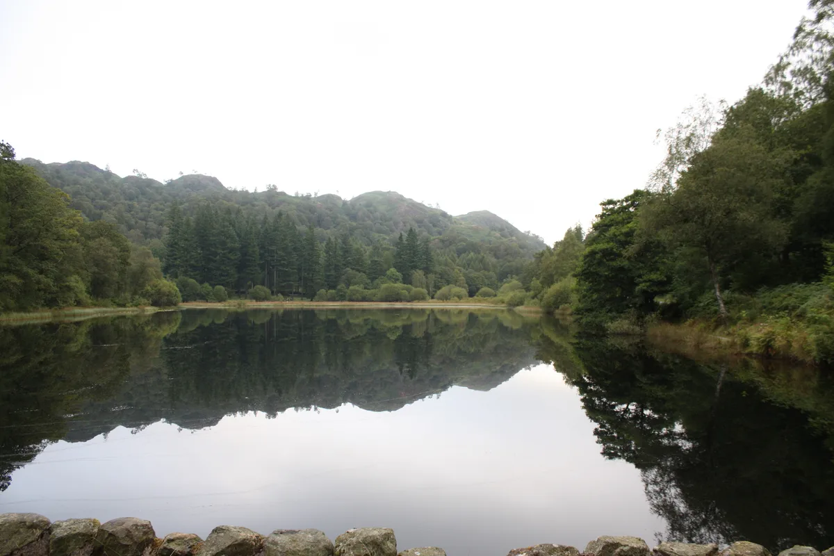
Yew Tree Tarn
Natural landmarks · 1.6 km

Shepherd's Bridge
Historic bridges · 1.7 km

Keen Ground Farm
Campsites · 2.0 km

Hawkshead Courthouse
Natural landmarks · 2.0 km
Nearby
📷 5📷 3Viewpoints · North West England
Tarn Hows Viewpoint
Tarn Hows Viewpoint is a viewpoint in the United Kingdom.
📷 5Mountains & hills · North West England
Hill Fell
Hill Fell — a hill or mountain in england north west.
📷 3Viewpoints · North West England
Tom Ghyll Waterfalls
Tom Ghyll Waterfalls is a viewpoint in the United Kingdom.
📷 5📷 5Mountains & hills · North West England
Tom Heights
Tom Heights — mountain in england north west. Elevation: 269 m.
Where to eat & stay near Tarn Hows
Places to stay
📷 5Hotels · North West England
HF Holidays Monk Coniston
HF Holidays Monk Coniston — a hotel in england north west.
📷 5Campsites · North West England
Keen Ground Farm
Keen Ground Farm — a campsite in england north west.
 📷 5
📷 5Campsites · North West England
Hawkshead Hall Camping & Caravan Site
Hawkshead Hall Camping & Caravan Site — a campsite in england north west.
 📷 5
📷 5B&Bs · North West England
Ivy Guest House
Ivy Guest House — a bed-and-breakfast in england north west.
📷 7B&Bs · North West England
Ann Tysons House
Ann Tysons House — a bed-and-breakfast in england north west.
 📷 5
📷 5Hostels · North West England
Park House
Park House — a hostel in england north west.
Places to eat & drink
 📷 5
📷 5Historic pubs · North West England
Sun Cottage Sun Inn Public House
Sun Cottage Sun Inn Public House in England North West, United Kingdom.
 📷 5
📷 5Restaurants · North West England
The Terrace Coffee House and Restaurant
The Terrace Coffee House and Restaurant — a restaurant in england north west. Cuisine: sandwich;lunch.
 📷 7
📷 7Historic pubs · North West England
Church House Public House
Church House Public House in England North West, United Kingdom.
 📷 5
📷 5Historic pubs · North West England
Holbeck Ghyll
Holbeck Ghyll in England North West, United Kingdom.
📷 5Restaurants · North West England
Holbeck Ghyll Restaurant
Holbeck Ghyll Restaurant — a restaurant in england north west.
 📷 7
📷 7Cafés · North West England
Joey's Cafe
Joey's Cafe — a café in england north west.
More places run by National Trust
 Flagship📷 10
Parks · London
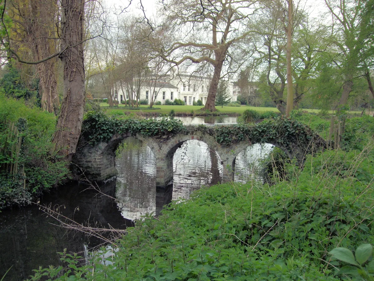
Morden Hall Park
Morden Hall Park — park in Morden, London.
 Flagship📷 10
 📷 5
📷 5Gardens · London
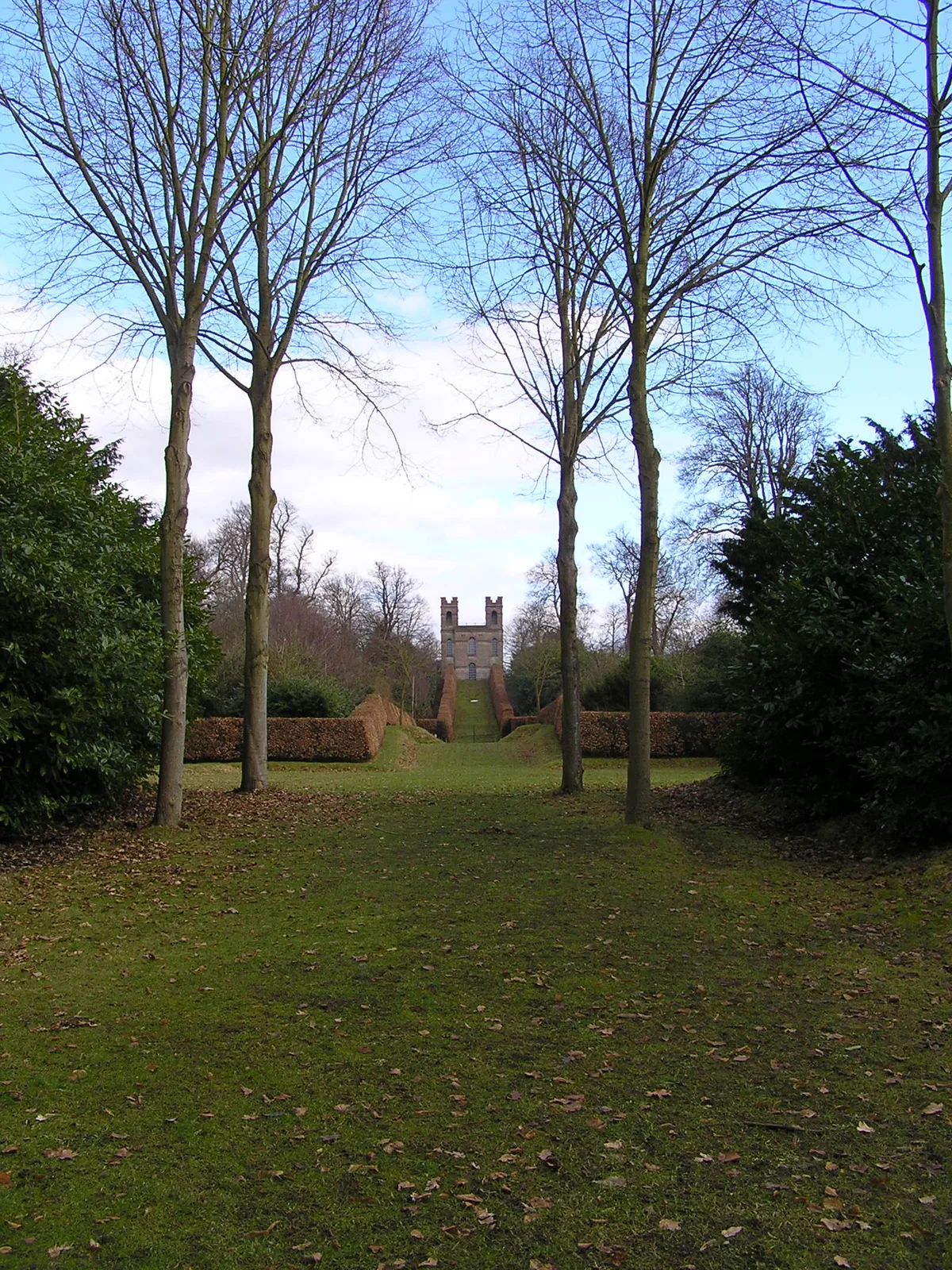
Claremont Landscape Garden
Claremont Landscape Garden — historic garden in Surrey, England, UK.
 📷 5
📷 5Stately homes · London
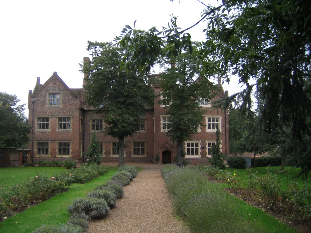
Eastbury Manor House
Eastbury Manor House — Grade I listed historic house museum in London Borough of Barking and Dagenham, United Kingdom.
More places in this region
 Flagship📷 5
Reservoirs & lochs · North West England
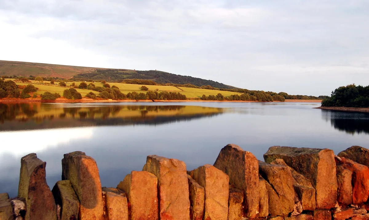
Yarrow Reservoir
Yarrow Reservoir — reservoir in Lancashire, England, UK.
.jpg?width=1200) 📷 3
📷 3Reservoirs & lochs · North West England
Abbey Village Reservoir
Abbey Village Reservoir — reservoir in Lancashire, England, UK.
 📷 3
📷 3Reservoirs & lochs · North West England
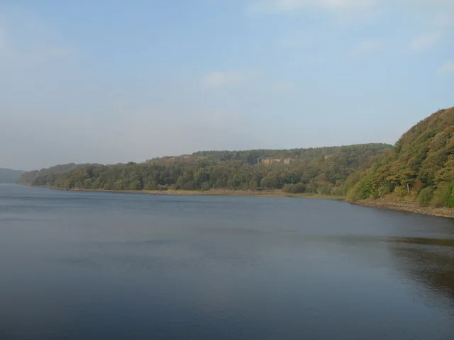
Anglezarke Reservoir
Anglezarke Reservoir — reservoir in Lancashire, England, UK.
 📷 3
📷 3Reservoirs & lochs · North West England
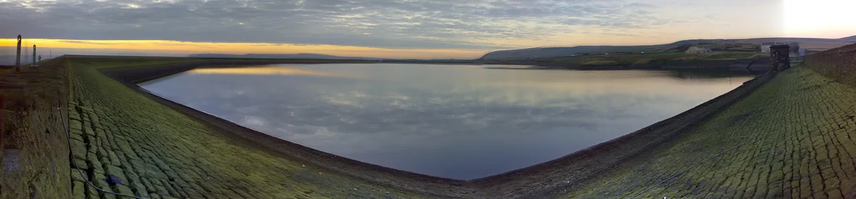
Ashworth Moor Reservoir
Ashworth Moor Reservoir — reservoir in Greater Manchester, England, UK.
Frequently asked questions
- Where is Tarn Hows?
- Tarn Hows is in North-West England, United Kingdom (postcode LA22 0PP), in the parish of Hawkshead.
- What is Tarn Hows?
- Tarn Hows — lake in the United Kingdom.
- How do I get to Tarn Hows?
- The nearest railway station is Windermere, about 8.4 km away. Drivers can use postcode LA22 0PP.
- Who runs Tarn Hows?
- Tarn Hows is operated by National Trust.
- Is Tarn Hows a protected site?
- Yes — Tarn Hows is part of the River Eden and Tributaries SSSI Site of Special Scientific Interest.
- Is Tarn Hows free to visit?
- Yes, Tarn Hows is free to enter.
- How do I get to Tarn Hows?
- Drivers can navigate to postcode LA22 0PP. It sits within the Westmorland and Lonsdale parliamentary constituency.