
Memorials & monuments · South East England
Tank Traps
In or near Windlesham.
Tank Traps is a memorial in the United Kingdom.

don cload — CC BY-SA 2.0 via Wikimedia Commons licence

Plan your visit
- Typical visit
- 15 min–45 min
- Nearest railway station
- Bagshot · 3.4 km
- Free entry
- Dog-friendly
Getting there & planning your visit
To visit the Tank Traps memorial, the nearest railway station is Bagshot, located 3.4 km away. The postcode for sat-nav is GU19 5PN, and entry is free.
About
Tank Traps is a public memorial in South-East England, recording local sacrifice and named in the parish register of war and civic monuments. The site is a designated Site of Special Scientific Interest. It sits within the Maidenhead parliamentary constituency. The nearest railway station is Bagshot, about 3.4 km away. Postcode area GU19.
Photo gallery
360° viewimagery from 2020
Imagery © Mapillary contributors, CC BY-SA 4.0
Protected designations
- Site of Special Scientific Interest: Broadmoor to Bagshot Woods and Heaths SSSI
Designations sourced from Natural England open data under OGL v3.
From the Wikipedia article
Anti-tank obstacles include, but are not limited to: The Czech hedgehog, dragon's teeth and cointet-element, all sometimes called "tank traps", are the most famous types of World War II anti-tank obstacles. Anti-tank trenches were used on the western front during World War I, and in the Pacific, Europe, and Russia in World War II. Anti-tank mines are the most common anti-tank obstacles. For implementation of various anti-tank obstacles: For British anti-tank obstacles, see: British anti-invasion preparations of World War II#Lines and islands. The Korean Demilitarized Zone is known to have very large minefields. The Berlin Wall used many different obstacles, including several types of anti-tank obstacles. The Atlantic Wall used many different obstacles, including several types of anti-tank obstacles. The Czechoslovak border fortifications used many different obstacles, including several types of anti-tank obstacles. The Mannerheim Line used many different obstacles, including several types of anti-tank obstacles. The Maginot Line used many different obstacles, including several types of anti-tank obstacles.
Excerpt from Wikipedia under CC BY-SA 4.0. See the source article linked in Sources below.
- Coordinates
- 51.3698, -0.7363
- District
- Bracknell Forest
- Parish
- Winkfield
- Postcode
- GU19 5PN
- Parliamentary constituency
- Maidenhead
- Nearest railway station
- Bagshot — 3.4 km
Sources
- osm: n25191045 (ODbL)
- wikipedia: Tank Traps (CC BY-SA 4.0)
Other places nearby

Bike Swinley Red
Mountain bike trails · 0.1 km
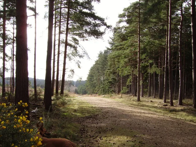
Swinley Forest
Archaeological sites · 0.4 km

Not The Wall
Natural landmarks · 0.5 km

Big Drop Not
Natural landmarks · 0.5 km

Manhole
Natural landmarks · 0.5 km
Wishmoor Cross
Memorials & monuments · 0.5 km

Car Crash Hill
Mountains & hills · 0.7 km

Surrey Hill
Mountains & hills · 0.8 km

Surrey Hill
Mountains & hills · 0.8 km
Deer Rock Hill
Mountains & hills · 0.9 km
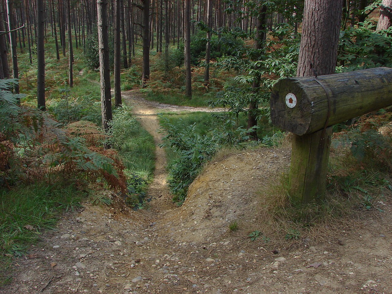
Bike Swinley Blue
Mountain bike trails · 1.0 km

Upper Star Post
Memorials & monuments · 1.0 km
Nearby
📷 5Mountain bike trails · South East England
Bike Swinley Red
Bike Swinley Red — a mtb trail in england south east.
📷 5Archaeological sites · South East England
Swinley Forest
Swinley Forest — forest in the United Kingdom.
📷 5Natural landmarks · South East England
Not The Wall
Not The Wall — a other in england-south-east, United Kingdom.
📷 5Natural landmarks · South East England
Big Drop Not
Big Drop Not — a other in england-south-east, United Kingdom.
📷 5Natural landmarks · South East England
Manhole
Manhole — a other in england-south-east, United Kingdom.
📷 5Memorials & monuments · South East England
Wishmoor Cross
Wishmoor Cross — a memorial in england-south-east, United Kingdom.
Where to eat & stay near Tank Traps
Places to stay
 📷 5
📷 5Hotels · South East England
Pennyhill Park
Pennyhill Park — a hotel in england south east.
 📷 5
📷 5Campsites · South East England
Earleywood Campsite and County Centre
Earleywood Campsite and County Centre — a campsite in england south east.
 📷 5
📷 5Hotels · South East England
DoubleTree by Hilton St. Anne's Manor
DoubleTree by Hilton St. Anne's Manor — a hotel in england south east.
 📷 5
📷 5Hotels · South East England
Coppid Beech Hotel
Coppid Beech Hotel — a hotel in england south east.
 📷 5
📷 5Caravan parks · South East England
Heritage Club
Heritage Club — a caravan park in england south east.
 📷 5
📷 5Campsites · South East England
Scotlands House Campsite
Scotlands House Campsite — a campsite in england south east.
Places to eat & drink
 📷 7
📷 7 📷 5
📷 5Restaurants · South East England
Peacock Farm
Peacock Farm — a restaurant in england south east.
 📷 7
📷 7Historic pubs · South East England
Nos 3 And 5 And The Southern Section Of The Victoria Arms Public House
Nos 3 And 5 And The Southern Section Of The Victoria Arms Public House in England South East, United Kingdom.
 📷 7
📷 7Historic pubs · South East England
Ye Olde Rose Inne
Ye Olde Rose Inne in England South East, United Kingdom.
 📷 5
📷 5Historic pubs · South East England
The Metropolitan Public House
The Metropolitan Public House in England South East, United Kingdom.
 📷 5
📷 5Historic pubs · South East England
The Duke's Head Public House
The Duke's Head Public House in England South East, United Kingdom.
More memorials in this region
 📷 5
📷 5Memorials & monuments · South East England
Air Forces Memorial
Air Forces Memorial is a memorial in the United Kingdom.
 📷 5
📷 5Memorials & monuments · South East England
All Saints Church
All Saints Church is a memorial in the United Kingdom.
 📷 5
📷 5Memorials & monuments · South East England
Bevans War Memorial
Bevans War Memorial is a memorial in the United Kingdom.
.jpg?width=1200) 📷 5
📷 5Memorials & monuments · South East England
Cumberland Obelisk
Cumberland Obelisk is a memorial in the United Kingdom.
Frequently asked questions
- Where is Tank Traps?
- Tank Traps is in South-East England, United Kingdom (postcode GU19 5PN), in the parish of Winkfield.
- What is Tank Traps?
- Tank Traps is a memorial in the United Kingdom.
- How do I get to Tank Traps?
- The nearest railway station is Bagshot, about 3.4 km away. The nearest town is Windlesham. Drivers can use postcode GU19 5PN.
- Is Tank Traps a protected site?
- Yes — Tank Traps is part of the Broadmoor to Bagshot Woods and Heaths SSSI Site of Special Scientific Interest.
- Is Tank Traps free to visit?
- Yes, Tank Traps is free to enter.
- How do I get to Tank Traps?
- The nearest railway station is Bagshot, about 3.4 km away. Drivers can navigate to postcode GU19 5PN.