
Public art & sculpture · West Midlands
Talking about the Weather (Bartley Green Interchange)
Also known as: Bartley Green
In or near Bell End.
Talking about the Weather (Bartley Green Interchange) — Public artwork (sculpture) by Pamina Stewart;Mick Thacker;Mark Renn;Renn & Thacker Partnership LLP;Pupils from Woodgate Junior & Infants School..

Wikimedia Commons contributors — see linked file page for photographer and licence licence

Plan your visit
- Typical visit
- 1 h–2 h
- Nearest railway station
- Northfield · 3.9 km
- Free entry
About
Talking about the Weather (Bartley Green Interchange) is a place of interest in the United Kingdom. Wikidata describes it as: "Public artwork (sculpture) by Pamina Stewart;Mick Thacker;Mark Renn;Renn & Thacker Partnership LLP;Pupils from Woodgate Junior & Infants School..". Coordinates: 52.4343°, -2.0046°.
Photo gallery
Official information
Talking about the Weather is a public sculpture created by artists Mick Thacker, Pamina Stewart, and Mark Renn. It is part of a collection that can be viewed by the public, showcasing contemporary artistic expressions.
From the Wikipedia article
Bartley Green is a residential suburban area and electoral ward in Birmingham, England, 5 miles (8 km) south west of the city centre. The ward is part of the Birmingham Edgbaston constituency and is represented in parliament by Labour Co-operative MP Preet Kaur Gill.
Excerpt from Wikipedia under CC BY-SA 4.0. See the source article linked in Sources below.
Background
History
Bartley Green was first noted in the Domesday Book of 1086 as Berchelai. This means either the birch tree wood or the clearing in the birch trees (from the Old English "beorc leah"). Bartley Green was part of the estate of the manor of Weoley. Bartley Green was again mentioned in 1657, however, this time it was under its current name. Most of the land occupied by Bartley Reservoir was in the parish of Northfield, Birmingham, originally in Worcestershire. It was transferred to Warwickshire when Northfield became part of Birmingham in November 1911. Bartley Green became more built up after the end of the Second World War in 1945, with a mix of private and council housing being built. The…
Sourced from Wikipedia under CC BY-SA 4.0.
- Coordinates
- 52.4343, -2.0046
- District
- Birmingham
- Parish
- Birmingham, unparished area
- Postcode
- B32 4HE
- Parliamentary constituency
- Birmingham Edgbaston
- Nearest railway station
- Northfield — 3.9 km
- Official site
- www.citypopulation.de
Sources
- osm: n12807071454 (ODbL)
- wikipedia: Bartley Green (CC BY-SA 4.0)
- commons: Centro Bartley Green.JPG (CC BY-SA 4.0)
Other places nearby

Bartley Green War Memorial
Memorials & monuments · 0.0 km
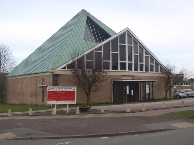
St Michael and All Angels' Church
Historic churches · 0.1 km

Jane Bunford
Memorials & monuments · 0.5 km

Bartley Reservoir
Reservoirs & lochs · 0.9 km

Woogate Valley Urban Farm
Farms (open to visitors) · 1.3 km

Frankley Hall
Archaeological sites · 1.4 km
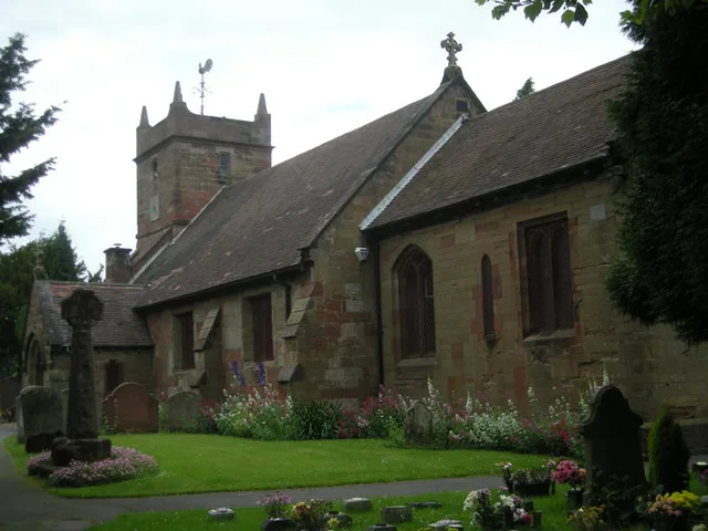
St Leonard's Church, Frankley
Historic churches · 1.4 km
Standing cross in St Leonards churchyard
Historic churches · 1.4 km

Illey
Villages · 1.5 km

Frankley Reservoir
Reservoirs & lochs · 1.6 km
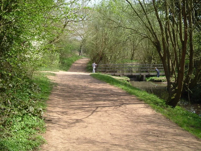
Woodgate Valley Country Park
Parks · 1.6 km
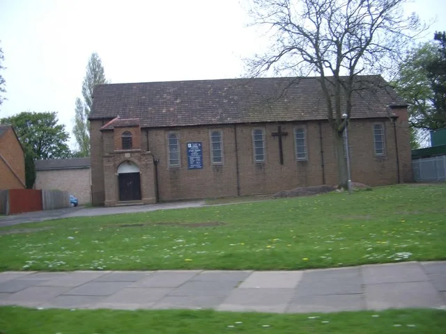
St Gabriel's Church
Historic churches · 2.0 km
Nearby
📷 3Memorials & monuments · West Midlands
Bartley Green War Memorial
Bartley Green War Memorial — a memorial in West Midlands, United Kingdom.
📷 3Historic churches · West Midlands
St Michael and All Angels' Church
St Michael and All Angels' Church — church in Bartley Green, Birmingham, West Midlands, England.
📷 3Memorials & monuments · West Midlands
Jane Bunford
Jane Bunford — a memorial in West Midlands, United Kingdom.
📷 3Reservoirs & lochs · West Midlands
Bartley Reservoir
Bartley Reservoir — reservoir in the West Midlands, England.
📷 3Farms (open to visitors) · West Midlands
Woogate Valley Urban Farm
Woogate Valley Urban Farm — a place in West Midlands, United Kingdom.
📷 3Archaeological sites · West Midlands
Frankley Hall
Frankley Hall — an archaeological site in West Midlands, United Kingdom.
Where to eat & stay near Talking about the Weather (Bartley Green Interchange)
Places to stay
 📷 4
📷 4Campsites · West Midlands
Clent Hills Camping and Caravanning Club Site
Clent Hills Camping and Caravanning Club Site — a campsite in england west midlands.
 📷 7
📷 7Hotels · West Midlands
The Belmont Hotel
The Belmont Hotel — a hotel in england west midlands.
📷 7Hotels · West Midlands
Hagley Hotel
Hagley Hotel — a hotel in england west midlands.
📷 5Hostels · West Midlands
Hagley Lodge
Hagley Lodge — a hostel in england west midlands.
 📷 5
📷 5Hostels · West Midlands
Jubilee House
Jubilee House — a hostel in england west midlands.
 📷 5
📷 5Hostels · West Midlands
Alexandra Residential Club
Alexandra Residential Club — a hostel in england west midlands.
Places to eat & drink
 📷 5
📷 5Historic pubs · West Midlands
The Black Horse
The Black Horse — Historic pub — listed building or notable heritage status.
 📷 6
📷 6Historic pubs · West Midlands
Court Oak Pub
Court Oak Pub — Historic pub — listed building or notable heritage status.
 📷 3
📷 3Historic pubs · West Midlands
The Great Stone
The Great Stone — Historic pub — listed building or notable heritage status.
 📷 5
📷 5Historic pubs · West Midlands
George Inn Public House
George Inn Public House in England West Midlands, United Kingdom.
 📷 3
📷 3Historic pubs · West Midlands
The Bell
The Bell — Historic pub — listed building or notable heritage status.
 📷 3
📷 3Historic pubs · West Midlands
The Wernley
The Wernley — Historic pub — listed building or notable heritage status.
More places in this region
 📷 3
📷 3Public art & sculpture · West Midlands
Colin Grazier Memorial
Colin Grazier Memorial in England East Midlands, United Kingdom.
 📷 3
📷 3Public art & sculpture · West Midlands
The Rescue Miner
The Rescue Miner — a public art in West Midlands, United Kingdom.
📷 3Public art & sculpture · West Midlands
The Brereton Miner
The Brereton Miner — a public art in West Midlands, United Kingdom.
📷 3Public art & sculpture · West Midlands
The Deputy Miner
The Deputy Miner — a public art in West Midlands, United Kingdom.
Frequently asked questions
- Where is Talking about the Weather (Bartley Green Interchange)?
- Talking about the Weather (Bartley Green Interchange) is in the West Midlands, United Kingdom (postcode B32 4HE), in the parish of Birmingham, unparished area.
- What is Talking about the Weather (Bartley Green Interchange)?
- Talking about the Weather (Bartley Green Interchange) — Public artwork (sculpture) by Pamina Stewart;Mick Thacker;Mark Renn;Renn & Thacker Partnership LLP;Pupils from Woodgate Junior & Infants School..
- How do I get to Talking about the Weather (Bartley Green Interchange)?
- The nearest railway station is Northfield, about 3.9 km away. The nearest town is Bell End. Drivers can use postcode B32 4HE.
- Is Talking about the Weather (Bartley Green Interchange) free to visit?
- Yes, Talking about the Weather (Bartley Green Interchange) is free to enter.
- How do I get to Talking about the Weather (Bartley Green Interchange)?
- The nearest railway station is Northfield, about 3.9 km away. Drivers can navigate to postcode B32 4HE.