
Mountains & hills · North Wales
Tal y Fan
Tal y Fan — Named summit at 610 m.

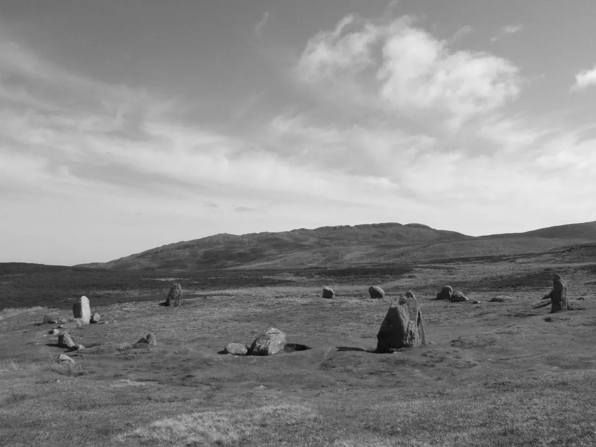
Wikimedia Commons contributors — see linked file page for photographer and licence licence

Plan your visit
- Typical visit
- 3 h–8 h
- Best time of year
- Late spring – early autumn (May–Oct)
- Nearest railway station
- Penmaenmawr · 4.1 km
- Free entry
- Dog-friendly
Getting there & planning your visit
To visit Tal y Fan in North Wales, the nearest railway station is Penmaenmawr, located 4.1 km away. Admission is free.
About
Tal y Fan is a named summit in the United Kingdom. Wikidata describes it as: "Named summit at 610 m.". Coordinates: 53.2357°, -3.9052°.
Photo gallery
From the Wikipedia article
Tal y Fan is an outlying peak of the Carneddau mountains in North Wales. It is one of the four Marilyns that make up the Carneddau, the others being Carnedd Llywelyn, Pen Llithrig y Wrach and Creigiau Gleision. It is 610 metres (2,001 ft) high, and lies midway between the Conwy valley to the east and Penmaenmawr on the coast to the north-west. It is the most northerly 2000 ft summit in Wales. On 6 May 2013 BBC News reported that a precise GPS measurement of Tal y Fan's height had been verified by the Ordnance Survey as 609.98 metres or 2,001 feet, confirming its status as a mountain. Bwlch y Ddeufaen separates Tal y Fan from the main Carneddau ridge, the closest summit on which is Carnedd y Ddelw. Pen y Castell is directly opposite to the south.
Excerpt from Wikipedia under CC BY-SA 4.0. See the source article linked in Sources below.
- Coordinates
- 53.2357, -3.9052
- Address
- Conwy, Wales
- Nearest railway station
- Penmaenmawr — 4.1 km
Sources
- osm: n8746816844 (ODbL)
- wikipedia: Tal y Fan (CC BY-SA 4.0)
- commons: Penmaenmawr Meini Hirion a Tal-y-Fan.JPG (CC BY-SA 4.0)
Other places nearby
Tal y Fan
Natural landmarks · 0.1 km

Foel Lwyd
Mountains & hills · 1.0 km

Neolithic Settlement
Archaeological sites · 1.1 km
Cae Coch Standing Stone
Stone circles · 1.2 km

Cae Coch Standing Stone
Archaeological sites · 1.2 km

Ffon-y-Cawr Standing Stone
Windmills · 1.4 km

Ancient Trackway
Archaeological sites · 1.4 km

Maen y Bardd (Dolmen)
Burial mounds & barrows · 1.4 km

Caer Bach Hut Circle
Archaeological sites · 1.4 km

Caer Bach
Vineyards · 1.5 km

YHA Rowen Hostel
Hostels · 1.8 km

Craig Celynin
Mountains & hills · 1.9 km
Nearby
📷 3📷 3Mountains & hills · North Wales
Foel Lwyd
Foel Lwyd — a mountain in wales-north, United Kingdom, 600 m.
📷 3Archaeological sites · North Wales
Neolithic Settlement
Neolithic Settlement — a archaeological in wales-north, United Kingdom.
📷 3Stone circles · North Wales
Cae Coch Standing Stone
Cae Coch Standing Stone — a stone circle in wales-north, United Kingdom.
📷 5Archaeological sites · North Wales
Cae Coch Standing Stone
Cae Coch Standing Stone — archaeological in wales north.
📷 5Windmills · North Wales
Ffon-y-Cawr Standing Stone
Ffon-y-Cawr Standing Stone — a post mill in wales-north, United Kingdom.
Where to eat & stay near Tal y Fan
Places to stay
📷 5 📷 5
📷 5Campsites · North Wales
Cefn Cae Camping Site
Cefn Cae Camping Site — a campsite in wales north.
 📷 5
📷 5 📷 5
📷 5 📷 5
📷 5Campsites · North Wales
Trwyn yr Wylfa
Trwyn yr Wylfa — a campsite in wales north.
 📷 5
📷 5Places to eat & drink
 📷 7📷 7
 📷 5
📷 5 📷 5
📷 5Restaurants · North Wales
Ristorante Romeo's
Ristorante Romeo's — a restaurant in wales north.
📷 5 📷 5
📷 5Restaurants · North Wales
Casanova Italian Restaurant
Casanova Italian Restaurant — a restaurant in wales north.
More mountains in this region
 📷 5
📷 5Mountains & hills · North Wales
Cemlyn Bay and lagoon
Cemlyn Bay and lagoon — Site of Special Scientific Interest in Wales.
 📷 3
📷 3Mountains & hills · North Wales
Aberffraw Bay
Aberffraw Bay — bay on the west coast of Anglesey, in Wales, UK.
 📷 3
📷 3 📷 3
📷 3Mountains & hills · North Wales
Aran Benllyn
Aran Benllyn — Named summit at 884 m.
Frequently asked questions
- Where is Tal y Fan?
- Tal y Fan is in North Wales, United Kingdom.
- What is Tal y Fan?
- Tal y Fan — Named summit at 610 m.
- How do I get to Tal y Fan?
- The nearest railway station is Penmaenmawr, about 4.1 km away. Its coordinates are 53.2357°, -3.9052°.
- Is Tal y Fan free to visit?
- Yes, Tal y Fan is free to enter.
- How do I get to Tal y Fan?
- The nearest railway station is Penmaenmawr, about 4.1 km away.