Natural landmarks · North West England
Swirl How
In or near Coniston.
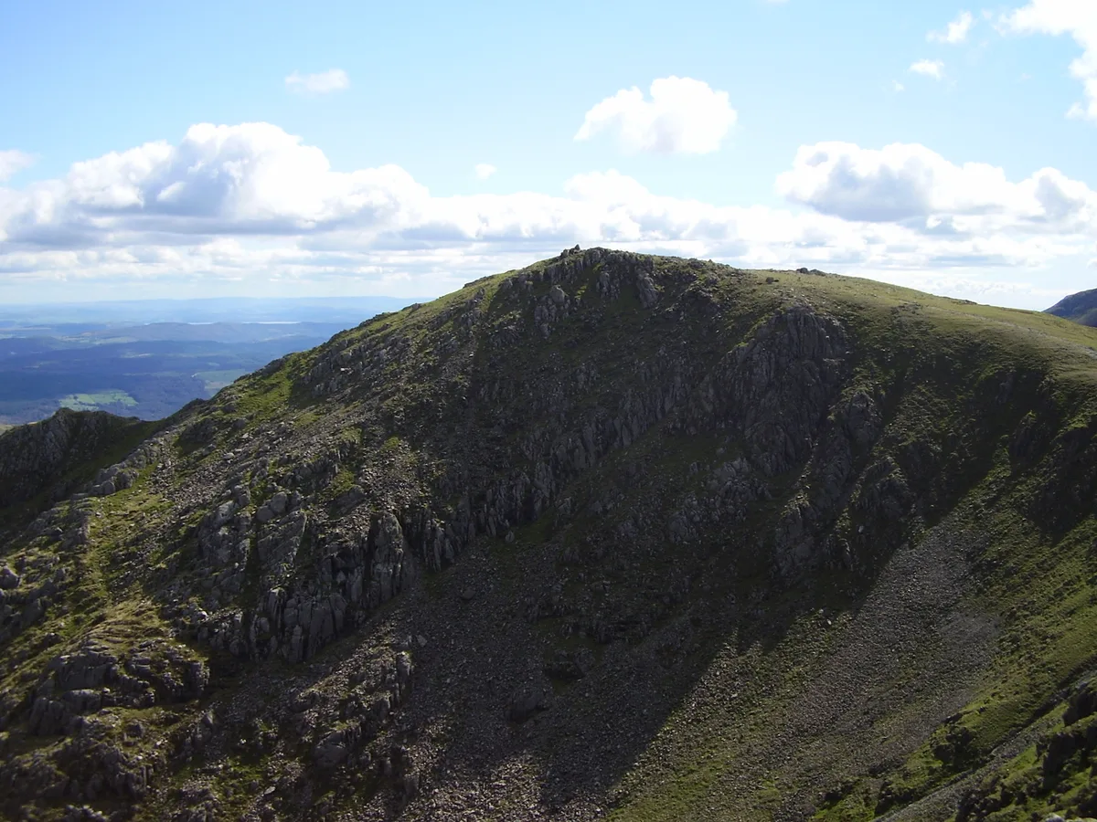
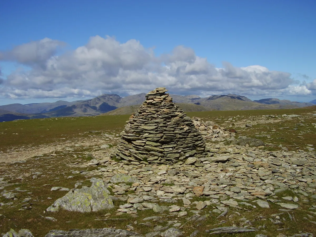
Swirl How — mountain in Cumbria, United Kingdom.

Wikimedia Commons contributors — see linked file page for photographer and licence licence
Plan your visit
- Typical visit
- 1 h–2 h
- Nearest railway station
- Dalegarth · 9.9 km
- Free entry
- Dog-friendly
Getting there & planning your visit
Swirl How is located in North West England, with the nearest railway station being Dalegarth, approximately 9.9 km away. Entry to the site is free. There are no specific accessibility details provided.
About
Swirl How is a named natural landmark in the United Kingdom. Wikidata describes it as: "mountain in Cumbria, United Kingdom". Coordinates: 54.3957°, -3.1212°.
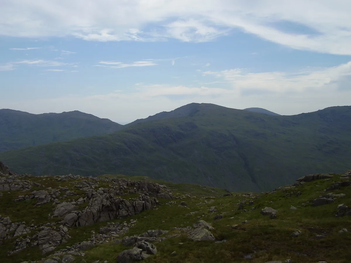
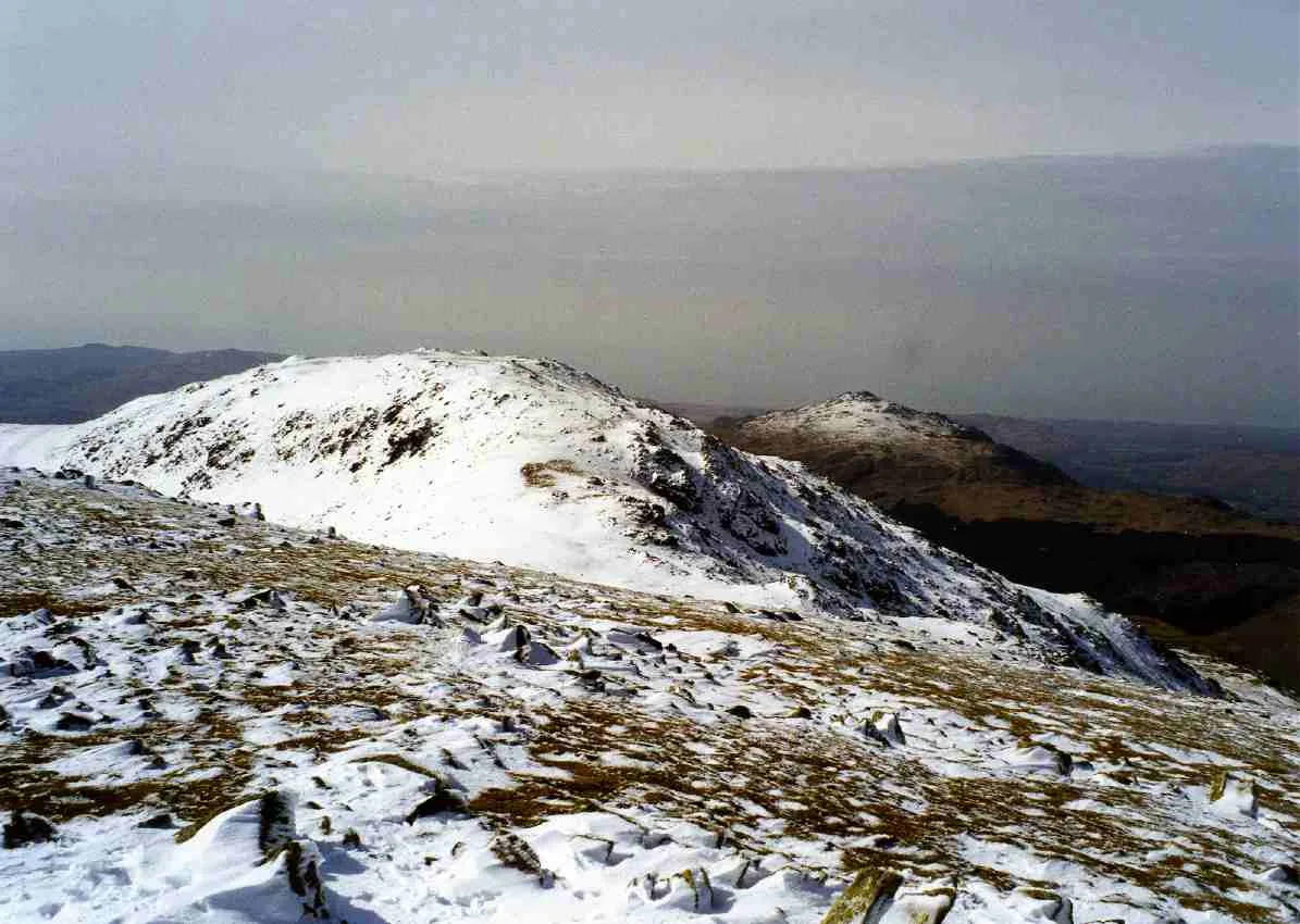
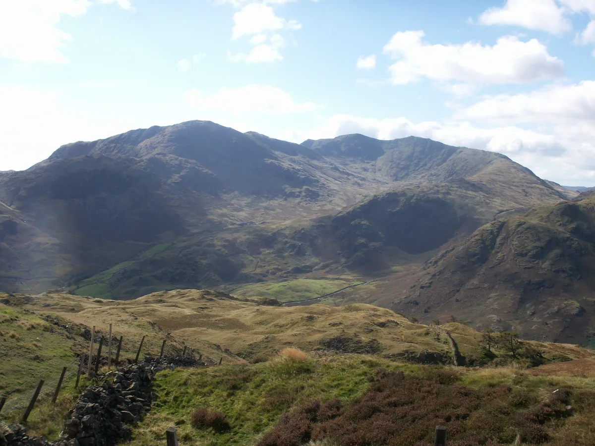
Photo gallery
From the Wikipedia article
Swirl How is a fell in the English Lake District. It stands between Coniston and the Duddon Valley in the southern part of the District. It rivals the Old Man of Coniston as the highest point within the traditional County Palatine of Lancashire (it has been administered since 1974 as part of Cumbria for local government purposes). The Coniston (or Furness) Fells form the watershed between Coniston Water and the Duddon valley to the west. The range begins at Wrynose Pass and runs south for around 10 miles (16 km) before petering out at Broughton in Furness on the Duddon Estuary. Alfred Wainwright in his influential Pictorial Guide to the Lakeland Fells took only the northern half of the range as Lakeland proper, consigning the lower fells to the south to a supplementary work The Outlying Fells of Lakeland. Swirl How being a significant high point of the Coniston Fells therefore qualifies as one of the 214 Wainwrights. Later guidebook writers have chosen to include the whole range in their main volumes.
Excerpt from Wikipedia under CC BY-SA 4.0. See the source article linked in Sources below.
- Coordinates
- 54.3957, -3.1212
- Address
- Cumbria, England (traditionally Lancashire)
- Nearest railway station
- Dalegarth — 9.9 km
Sources
- wikidata: Q7658811 (CC0)
- wikipedia: Swirl How (CC BY-SA 4.0)
- commons: Swirl how.jpg (CC BY-SA 4.0)
Other places nearby
Swirl How
Mountains & hills · 0.1 km

Great Carrs
Natural landmarks · 0.4 km

Handley Page Halifax LL505 Crash Site Memorial
Memorials & monuments · 0.4 km
Great Carrs
Mountains & hills · 0.4 km

Great How Crags
Mountains & hills · 0.7 km

Black Sails
Mountains & hills · 1.0 km
Grey Friar
Mountains & hills · 1.3 km

Grey Friar
Natural landmarks · 1.4 km

Wetherlam
Mountains & hills · 1.6 km
Wetherlam
Natural landmarks · 1.6 km

Greenburn Reservoir
Reservoirs & lochs · 1.9 km
Brim Fell
Natural landmarks · 2.0 km
Nearby
📷 3📷 3Natural landmarks · North West England
Great Carrs
Great Carrs — mountain in Cumbria, United Kingdom.
📷 3Memorials & monuments · North West England
Handley Page Halifax LL505 Crash Site Memorial
Handley Page Halifax LL505 Crash Site Memorial — a memorial in england-north-west, United Kingdom.
📷 3📷 5Mountains & hills · North West England
Great How Crags
Great How Crags — mountain in england north west. Elevation: 770 m.
📷 5Mountains & hills · North West England
Black Sails
Black Sails — mountain in england north west. Elevation: 745 m.
Where to eat & stay near Swirl How
Places to stay
 📷 5
📷 5Hostels · North West England
YHA Coppermines
YHA Coppermines — a hostel in england north west.
 📷 5
📷 5Hostels · North West England
Yorkshire Mountaineering Club Hut
Yorkshire Mountaineering Club Hut — a hostel in england north west.
 📷 5
📷 5Hostels · North West England
Coniston Holly How YHA
Coniston Holly How YHA — a hostel in england north west.
 📷 5
📷 5Caravan parks · North West England
Beckthwaite
Beckthwaite — a caravan park in england north west.
 📷 7
📷 7Hotels · North West England
The Coniston Inn
The Coniston Inn — a hotel in england north west.
 📷 5
📷 5Campsites · North West England
Pier Cottage Caravan Park
Pier Cottage Caravan Park — a campsite in england north west.
Places to eat & drink
 📷 5
📷 5Restaurants · North West England
The Terrace Coffee House and Restaurant
The Terrace Coffee House and Restaurant — a restaurant in england north west. Cuisine: sandwich;lunch.
 📷 7
📷 7Historic pubs · North West England
Church House Public House
Church House Public House in England North West, United Kingdom.
 📷 5
📷 5Historic pubs · North West England
Sun Cottage Sun Inn Public House
Sun Cottage Sun Inn Public House in England North West, United Kingdom.
 📷 7
📷 7Historic pubs · North West England
The Travellers Rest
The Travellers Rest in England North West, United Kingdom.
 📷 5
📷 5Historic pubs · North West England
Golden Rule Hotel
Golden Rule Hotel in England North West, United Kingdom.
 📷 5
📷 5Historic pubs · North West England
Blacksmiths Arms
Blacksmiths Arms in England North West, United Kingdom.
More natural landmarks in this region
 📷 3
📷 3Natural landmarks · North West England
Statue of Oliver Cromwell
Statue of Oliver Cromwell — Public artwork (statue).
 📷 3
📷 3Natural landmarks · North West England
Dagfields Craft Centre
Dagfields Craft Centre — a other in england-west-midlands, United Kingdom.
 📷 3
📷 3Natural landmarks · North West England
Weaver Valley Cruises
Weaver Valley Cruises — a other in england-west-midlands, United Kingdom.
 📷 3
📷 3Natural landmarks · North West England
Golden Gates
Golden Gates — a other in england-west-midlands, United Kingdom.
Frequently asked questions
- Where is Swirl How?
- Swirl How is in North-West England, United Kingdom.
- What is Swirl How?
- Swirl How — mountain in Cumbria, United Kingdom.
- How do I get to Swirl How?
- The nearest railway station is Dalegarth, about 9.9 km away. Its coordinates are 54.3957°, -3.1212°.
- Is Swirl How free to visit?
- Yes, Swirl How is free to enter.