
Hill forts · North West England
Swinside
In or near Foxfield.
Swinside — stone circle in southern Cumbria, North West England.

Wikimedia Commons contributors — see linked file page for photographer and licence licence

Plan your visit
- Typical visit
- 1 h–2 h
- Nearest railway station
- Foxfield · 4.6 km
- Free entry
- Dog-friendly
Getting there & planning your visit
To visit Swinside, the nearest railway station is Foxfield, located 4.6 km away. Entry to the hill-fort is free, and the postcode for sat-nav is LA18 5LD.
About
Swinside is a hill fort in the United Kingdom. Wikidata describes it as: "stone circle in southern Cumbria, North West England". Coordinates: 54.2825°, -3.2738°.
Photo gallery
See it from the streetimagery from 2020
Imagery © Mapillary contributors, CC BY-SA 4.0
From the Wikipedia article
Swinside, which is also known as Sunkenkirk and Swineshead, is a stone circle lying beside Swinside Fell, part of Black Combe in southern Cumbria, North West England. In this period, the Lake District – a mountainous area in which Swinside is located – saw particularly high levels of stone circle construction, with other notable examples including the Castlerigg stone circle, Gamelands, Elva Plain, and Long Meg and Her Daughters. The original purposes of stone circles is still debated, although most archaeologists concur that they were built for ritual or ceremonial reasons. Constructed from local slate, the ring has a diameter of 93 ft 8ins (26.8m), and currently contains 55 stones, although when originally constructed there probably would have been around 60. An entrance-exit was included on the monument's south-eastern side, which was defined by the inclusion of two outer portal stones. In the Early Modern period, local folklore about the stones held that they had once been used in the construction of a church, but that the Devil continually thwarted these plans, creating the stone circle in the process. Archaeological investigation into the monument began in the early 20th century, with an excavation taking place in 1901.
Excerpt from Wikipedia under CC BY-SA 4.0. See the source article linked in Sources below.
Background
History
During the Late Neolithic, British society underwent a series of major changes. Between 3800 and 3200 BC This appears to have coincided with a wave of Irish Passage Tomb culture appearing across the west of Great Britain, with affinities with the Brú na Bóinne of eastern Ireland. Rock art reminiscent of this culture – dated to the mid to late Neolithic – is found across the Lake District, particularly associated with the Langdale axe factory, which quarried around a third of all known polished stone axes from Neolithic Britain. This culture appears to have swept up and down the coast of Great Britain, leaving megalithic stone circles and passage tombs in their wake. The prominent…
Architecture
The stones used in the construction of Swinside were porphyritic slate collected from the adjacent fells, and are of the type that was known locally as "grey cobbles" by the 20th century. These features are also found at Stonehenge's bluestone circle. Aubrey Burl classed such circles as "Cumbrian Circles": large, open stone enclosures spacious enough for gatherings. Although often thought widespread, true stone circles of this type are uncommon, with only five surviving in Cumbria: Swinside, Castlerigg, Elva Plain, Long Meg, and Gamelands. Others are also found locally, including the Twelve Apostles, the Girdle Stanes, and further to the north in Northumbria there are the Hethpool stone…
Sourced from Wikipedia under CC BY-SA 4.0.
- Coordinates
- 54.2825, -3.2738
- District
- Cumberland
- Parish
- Millom Without
- Postcode
- LA18 5LD
- Parliamentary constituency
- Barrow and Furness
- Nearest railway station
- Foxfield — 4.6 km
Sources
- wikidata: Q1789984 (CC0)
- wikipedia: Swinside (CC BY-SA 4.0)
- commons: Swinside Stone Circle 02.jpg (CC BY-SA 4.0)
Other places nearby

Swinside Stone Circle
Stone circles · 0.0 km

Raven Crag
Mountains & hills · 0.6 km

Knott Hill
Mountains & hills · 0.9 km
Knott Hill
Mountains & hills · 0.9 km

Gray Stones
Mountains & hills · 1.4 km

Barrow
Mountains & hills · 1.5 km
Barrow
Mountains & hills · 1.5 km
Stoupdale Head
Mountains & hills · 2.2 km

The Mount
Mountains & hills · 2.2 km

Baystone Bank Reservoir
Reservoirs & lochs · 2.3 km

Baystone Bank Farm Camping Site
Campsites · 2.5 km

Duddon Furnace
Historic houses · 2.5 km
Nearby
📷 3Stone circles · North West England
Swinside Stone Circle
Swinside Stone Circle — a stone circle in North West England, United Kingdom.
📷 5Mountains & hills · North West England
Raven Crag
Raven Crag — mountain in england north west. Elevation: 376 m.
📷 5Mountains & hills · North West England
Knott Hill
Knott Hill — a hill or mountain in england north west.
📷 5Mountains & hills · North West England
Knott Hill
Knott Hill — mountain in england north west. Elevation: 281 m.
📷 5Mountains & hills · North West England
Gray Stones
Gray Stones — mountain in england north west. Elevation: 396 m.
📷 5Where to eat & stay near Swinside
Places to stay
📷 4Campsites · North West England
Baystone Bank Farm Camping Site
Baystone Bank Farm Camping Site — a campsite in england north west.
 📷 7
📷 7Hotels · North West England
The Black Cock Inn
The Black Cock Inn — a hotel in england north west.
 📷 5
📷 5Caravan parks · North West England
Longlands Caravan Park
Longlands Caravan Park — a caravan park in england north west.
 📷 5
📷 5Caravan parks · North West England
Longlands Caravan Park
Longlands Caravan Park — a caravan park in england north west.
 📷 5
📷 5Caravan parks · North West England
Silecroft Holiday Park
Silecroft Holiday Park — a caravan park in england north west.
 📷 5
📷 5Campsites · North West England
Birch Bank Campsite
Birch Bank Campsite — a campsite in england north west.
Places to eat & drink
 📷 5
📷 5Historic pubs · North West England
Blacksmiths Arms
Blacksmiths Arms in England North West, United Kingdom.
 📷 7
📷 7Historic pubs · North West England
Church House Public House
Church House Public House in England North West, United Kingdom.
 📷 5
📷 5Historic pubs · North West England
Hoppers Public House
Hoppers Public House in England North West, United Kingdom.
 📷 5
📷 5Historic pubs · North West England
Chappells Tavern
Chappells Tavern in England North West, United Kingdom.
 📷 5
📷 5Restaurants · North West England
The Terrace Coffee House and Restaurant
The Terrace Coffee House and Restaurant — a restaurant in england north west. Cuisine: sandwich;lunch.
 📷 5
📷 5Historic pubs · North West England
Furness Abbey Hotel
Furness Abbey Hotel in England North West, United Kingdom.
More places in this region
 📷 5
📷 5Hill forts · North West England
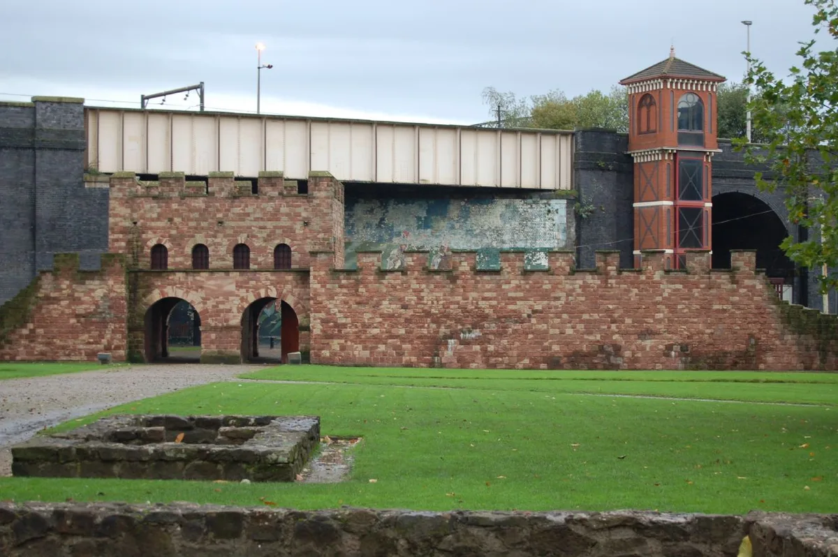
Mamucium
Mamucium — former Roman fort in the Castlefield area of Manchester in North West England.
 📷 3
📷 3Hill forts · North West England
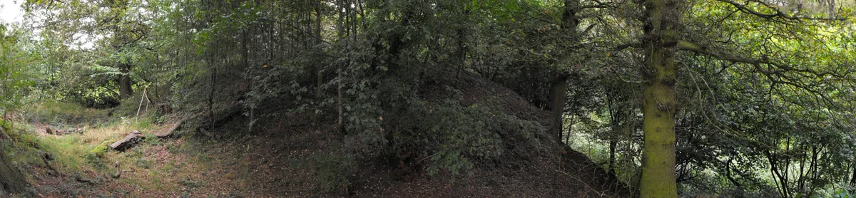
Timperley Hall
Timperley Hall is a hill fort in the United Kingdom.
 📷 3
📷 3Hill forts · North West England
Watch Hill Castle
Watch Hill Castle — medieval castle in Bowdon, Greater Manchester, England, UK.
 📷 5
📷 5Hill forts · North West England
Buckton Castle
Buckton Castle — 12th-century castle in Mossley, Greater Manchester, England, UK.
Frequently asked questions
- Where is Swinside?
- Swinside is in North-West England, United Kingdom (postcode LA18 5LD), in the parish of Millom Without.
- What is Swinside?
- Swinside — stone circle in southern Cumbria, North West England.
- How do I get to Swinside?
- The nearest railway station is Foxfield, about 4.6 km away. The nearest town is Foxfield. Drivers can use postcode LA18 5LD.
- Is Swinside free to visit?
- Yes, Swinside is free to enter.
- How do I get to Swinside?
- The nearest railway station is Foxfield, about 4.6 km away. Drivers can navigate to postcode LA18 5LD.