
Historic bridges · North East England
Swing Bridge, Lock And Walls Of North End Of Dock
In or near Hendon.
Swing Bridge, Lock And Walls Of North End Of Dock — Grade II listed building-listed bridge in scotland-lowlands, United Kingdom.

Mat Fascione — CC BY-SA 2.0 via Wikimedia Commons licence

Plan your visit
- Typical visit
- 15 min–30 min
- Nearest railway station
- St Peter's · 1.4 km
- Free entry
- Dog-friendly
Getting there & planning your visit
The Swing Bridge, Lock And Walls Of North End Of Dock is located in Sunderland, postcode SR1 2EE. The nearest railway station is St Peter's, which is 1.4 km away. Entry to the site is free.
About
Swing Bridge, Lock And Walls Of North End Of Dock is a Grade II listed building-listed bridge in scotland-lowlands, United Kingdom, registered on the National Heritage List for England (NHLE entry 1207097). Listed status protects buildings and structures of special architectural or historic interest. See the linked Wikipedia article for further details.
Photo gallery
Heritage listing
Details SUNDERLAND NZ4157 HUDSON DOCK NORTH 920-1/13/118 (North side) 26/11/90 Swing-bridge, lock and walls of north end of Dock GV II Also known as: Gladstone Bridge HUDSON DOCK. Swing-bridge with walls, abutments and lock. c1875. For the River Wear Commissioners. Hydraulic machinery by Sir W Armstrong & Co., Elswick. Ashlar walls and abutments; steel lock gate, replaced 1955; riveted steel girder bridge, known as Hog-back bridge, the E end within a curved stone wall and the W end lying against an extension of that wall when the bridge is open to dock. When the bridge is closed to the dock, forming a roadway across the north end, the west end of the bridge rests on a stone abutment. Driven by engines and accumulator housed in the adjacent dock office (qv), now used as various offices. Shown on 1875 official plan of docks. An early example of a swing-bridge and of the hydraulic technology invented and developed by Sir William Armstrong. (Sinclair NT: Railways of Sunderland: Newcastle upon Tyne: 1986-: 60 (MAP)). Listing NGR: NZ4102357695 Legacy The contents of this record have been generated from a legacy data system. Legacy System number: 391499 Legacy System: LBS
From the Historic England List Entry under OGL v3.
Protected designations
- Site of Special Scientific Interest: Durham Coast SSSI
Designations sourced from Natural England open data under OGL v3.
Place summary
The Swing Bridge, Lock and Walls of North End of Dock is located in Sunderland, an unparished area in the Scottish Lowlands. This structure is designated as a Grade II listed building, highlighting its architectural and historical significance.
AI-generated from the structured facts on this page (operator, designation, listing, era). Not a substitute for visiting.
- Coordinates
- 54.9123, -1.3616
- District
- Sunderland
- Parish
- Sunderland, unparished area
- Postcode
- SR1 2EE
- Parliamentary constituency
- Sunderland Central
- Nearest railway station
- St Peter's — 1.4 km
Sources
- wikidata: Q26502267 (CC0)
Other places nearby

Sunderland Barracks
Forts · 0.4 km
.jpg?width=1200)
Wave Basin Battery
Forts · 0.5 km

Sunderland Docks
Harbours & ports · 0.5 km

River Wear
Cathedrals · 0.5 km

Weardale Way
Memorials & monuments · 0.6 km
Weardale Way
Military museums · 0.6 km

Sunderland Harbour
Harbours & ports · 0.6 km

Phoenix Hall
Historic houses · 0.6 km
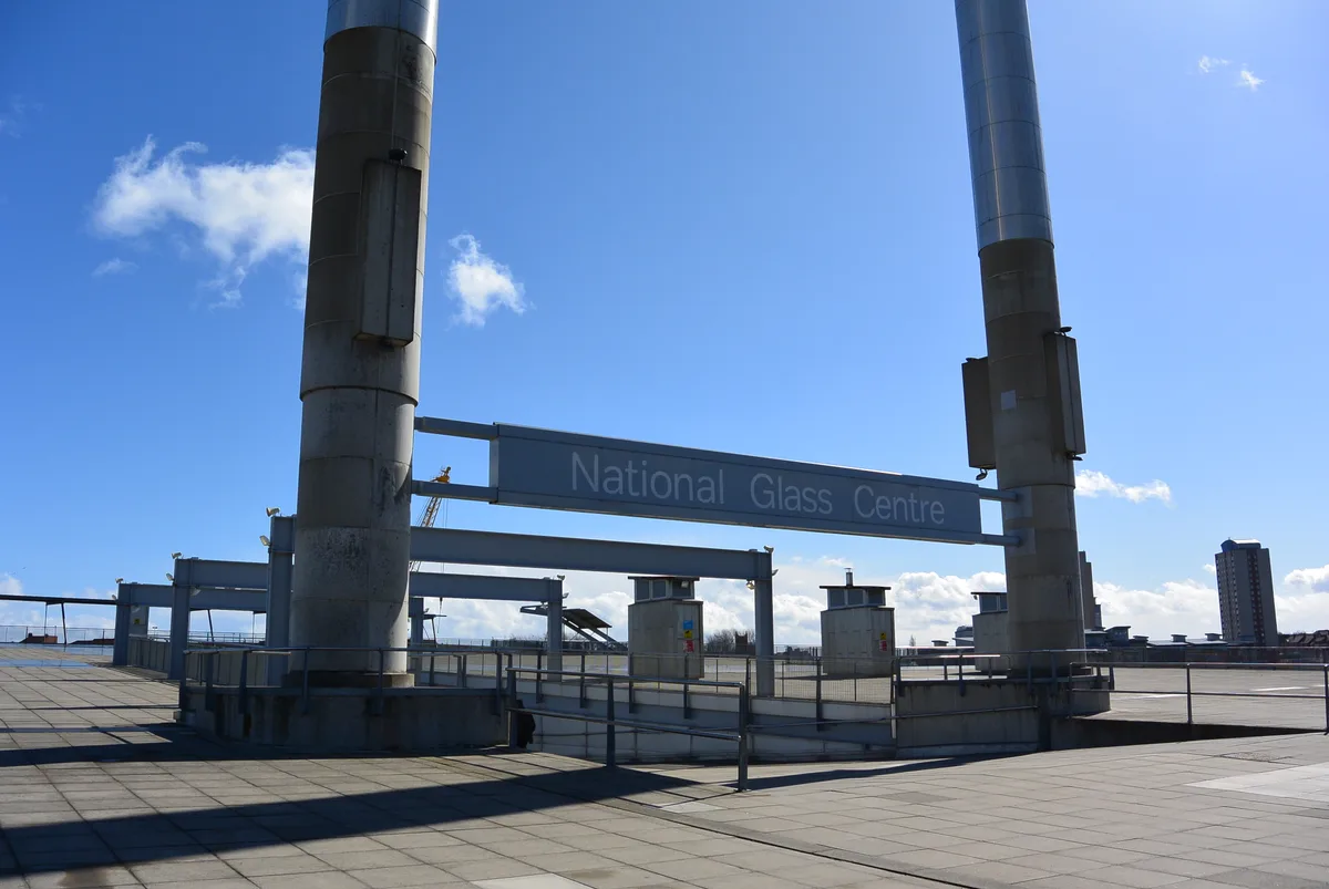
National Glass Centre
Museums · 0.6 km
Northern Gallery for Contemporary Art
Galleries · 0.6 km

Town Moor, Sunderland
Historic churches · 0.6 km
The Donnison School
Museums · 0.6 km
Nearby
📷 4Forts · North East England
Sunderland Barracks
Sunderland Barracks in England North East, United Kingdom.
📷 3📷 4Harbours & ports · North East England
Sunderland Docks
Sunderland Docks in England North East, United Kingdom.
📷 4📷 4Memorials & monuments · North East England
Weardale Way
Weardale Way is a footpath that follows the River Wear in the North East of England. It is 73 miles long, starting at the Lindisfarne Memorial on the sea wall at Roker (a part of the City of Sunderlan
📷 5Military museums · North East England
Weardale Way
Weardale Way — a military museum in scotland lowlands.
Where to eat & stay near Swing Bridge, Lock And Walls Of North End Of Dock
Places to stay
 📷 5
📷 5Hotels · North East England
Hilton Garden Inn Sunderland
Hilton Garden Inn Sunderland — a hotel in scotland lowlands. 3-star. Brand: Hilton Garden Inn.
 📷 5
📷 5Caravan parks · North East England
Lizard Lane Caravan Park
Lizard Lane Caravan Park — a caravan park in scotland lowlands.
 📷 5
📷 5Caravan parks · North East England
Sandhaven Caravan Site
Sandhaven Caravan Site — a caravan park in scotland lowlands.
 📷 5
📷 5Caravan parks · North East England
Showmen's Guild Site - Sunnyside Farm
Showmen's Guild Site - Sunnyside Farm — a caravan park in scotland lowlands.
 📷 5
📷 5B&Bs · North East England
Forest Guest House
Forest Guest House — a bed-and-breakfast in scotland lowlands.
📷 5B&Bs · North East England
The Clifton
The Clifton — a bed-and-breakfast in scotland lowlands.
Places to eat & drink
 📷 5
📷 5Historic pubs · North East England
The Londonderry Public House
The Londonderry Public House in England North East, United Kingdom.
 📷 5
📷 5Historic pubs · North East England
The Dun Cow Public House
The Dun Cow Public House in England North East, United Kingdom.
 📷 5
📷 5Historic pubs · North East England
Greens Public House
Greens Public House in England North East, United Kingdom.
 📷 6
📷 6Historic pubs · North East England
Fitzgerald's Public House
Fitzgerald's Public House in England North East, United Kingdom.
 📷 5
📷 5Historic pubs · North East England
Livingstone's Public House
Livingstone's Public House in England North East, United Kingdom.
 📷 5
📷 5Historic pubs · North East England
Websters Public House
Websters Public House in England North East, United Kingdom.
More bridges in this region
 📷 3
📷 3Historic bridges · North East England
Bridge About 30 Metres South Of The Manor House
Bridge About 30 Metres South Of The Manor House — Grade II listed building-listed bridge in england-yorkshire, United Kingdom.
 📷 3
📷 3Historic bridges · North East England
Old Bridge Over Nor Beck, On East Side Of Road
Old Bridge Over Nor Beck, On East Side Of Road — Grade II listed building-listed bridge in england-yorkshire, United Kingdom.
 📷 3
📷 3Historic bridges · North East England
Barnard Castle Bridge
Barnard Castle Bridge is a historic bridge in the United Kingdom.
 📷 3
📷 3Historic bridges · North East England
Blandswath Bridge
Blandswath Bridge is a historic bridge in the United Kingdom.
Frequently asked questions
- Where is Swing Bridge, Lock And Walls Of North End Of Dock?
- Swing Bridge, Lock And Walls Of North End Of Dock is in North-East England, United Kingdom (postcode SR1 2EE), in the parish of Sunderland, unparished area.
- What is Swing Bridge, Lock And Walls Of North End Of Dock?
- Swing Bridge, Lock And Walls Of North End Of Dock — Grade II listed building-listed bridge in scotland-lowlands, United Kingdom.
- How do I get to Swing Bridge, Lock And Walls Of North End Of Dock?
- The nearest railway station is St Peter's, about 1.4 km away. The nearest town is Hendon. Drivers can use postcode SR1 2EE.
- Is Swing Bridge, Lock And Walls Of North End Of Dock a listed building?
- Swing Bridge, Lock And Walls Of North End Of Dock is officially recognised as Grade II listed building listed.
- Is Swing Bridge, Lock And Walls Of North End Of Dock a protected site?
- Yes — Swing Bridge, Lock And Walls Of North End Of Dock is part of the Durham Coast SSSI Site of Special Scientific Interest.
- Is Swing Bridge, Lock And Walls Of North End Of Dock free to visit?
- Yes, Swing Bridge, Lock And Walls Of North End Of Dock is free to enter.
- How do I get to Swing Bridge, Lock And Walls Of North End Of Dock?
- The nearest railway station is St Peter's, about 1.4 km away. Drivers can navigate to postcode SR1 2EE.